Trail Overview
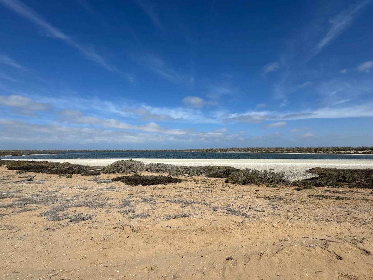
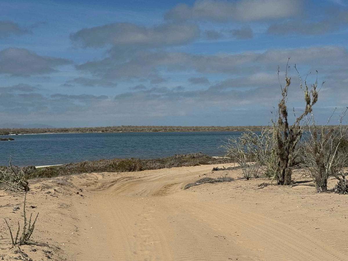
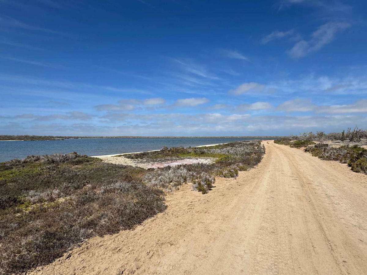
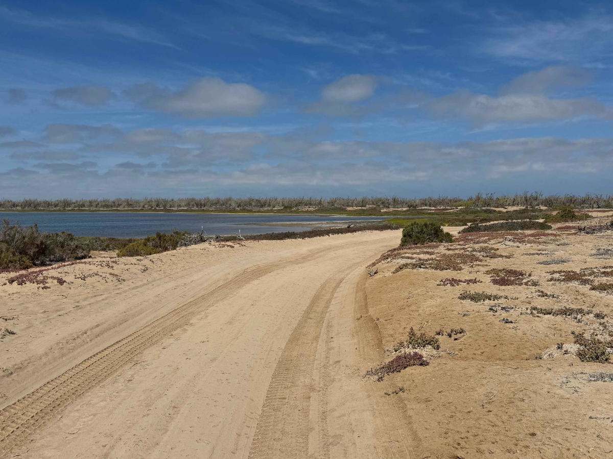
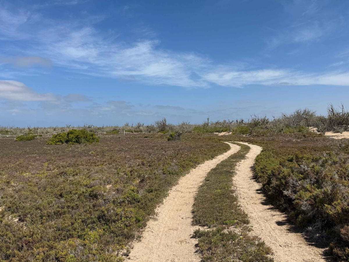
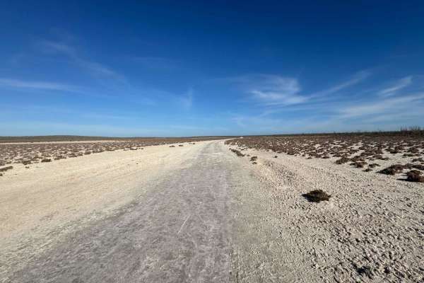
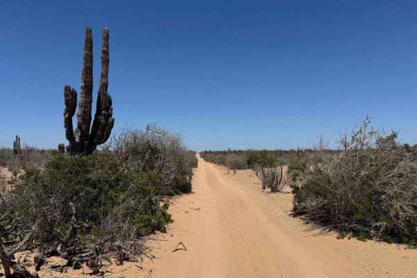
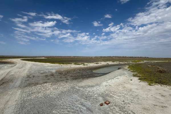
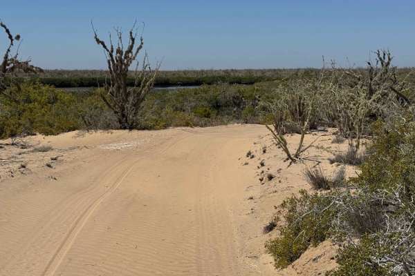
Beginning near the end of the mangrove fishing trail that leads out of Puerto San Carlos, this off-road route earns its full difficulty rating primarily due to a one-foot-deep tidal crossing, which can deepen significantly with high tide. Otherwise, the path is generally easygoing, with only light 2- to 3-inch sand in the desert sections. For those seeking a milder approach to access the trail's most scenic final miles, an alternate route across the salt flats from the highway offers a smoother ride. The trail begins as a narrow single-vehicle track through mid-height desert vegetation, eventually reaching a tidal inlet that separates the road in two. The crossing point varies with the tide, so plan accordingly based on water levels and your vehicle's capability. Once across, the route meanders another mile through desert terrain before merging with the expansive salt flats where the onX trail of the same name intersects. From here, the trail lives up to its reputation--offering a stunning final stretch over a smooth, slightly damp surface that winds between shimmering lagoons and mangrove-lined waterways. The last three-quarters of a mile winds through dense mangroves before opening dramatically onto a pristine beach, nestled in a horseshoe-shaped inlet that breathes with the tides--an unforgettable payoff and one of the most picturesque two-mile segments in all of Baja.
Difficulty
Under normal conditions, this trail would likely earn a difficulty rating of 2 due to the relatively shallow sand--about two to three inches--in the desert sections. However, a tidal river crossing encountered during mapping measured approximately one foot deep, elevating the trail to a level 4. This crossing can vary significantly with the tides and may become substantially deeper, so it's essential to walk it first and assess the depth and current before attempting a drive-through. Some sections feature rocky surfaces and occasional soft mud where limited traction could pose a challenge, so be sure your vehicle is equipped for self-recovery. Beyond the crossing, the remainder of the route is straightforward and enjoyable. If you'd prefer to avoid a second river crossing on your return, you can exit via the salt flat trail that reconnects with the highway.