Trail Overview
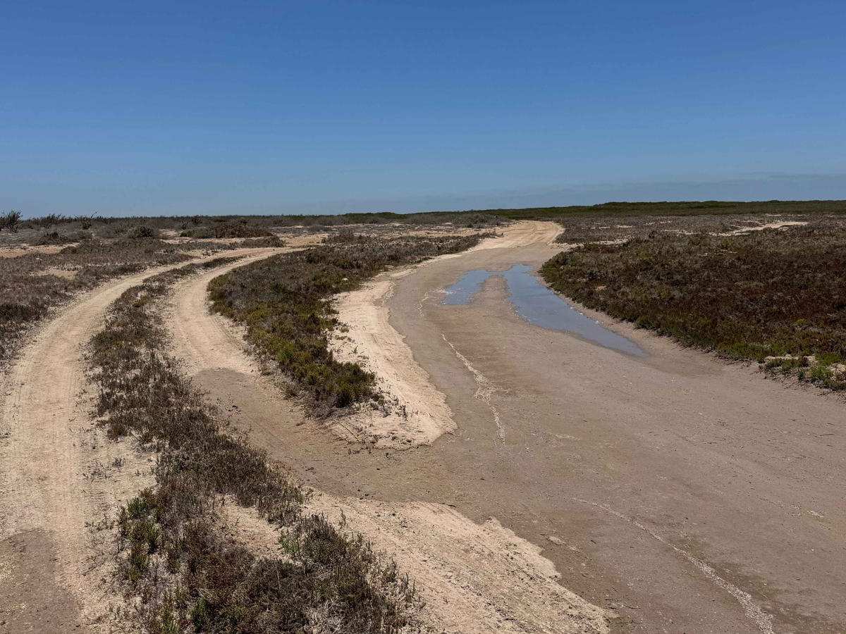
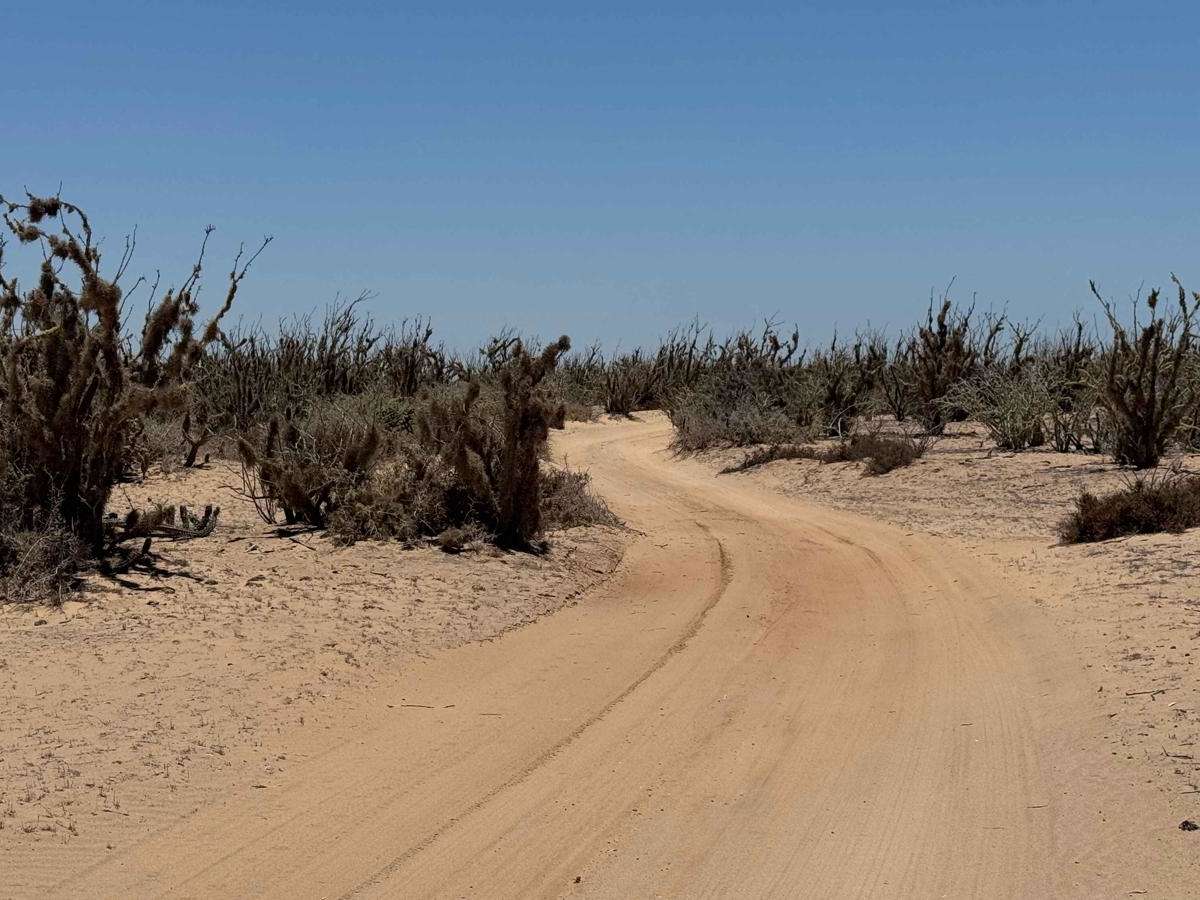
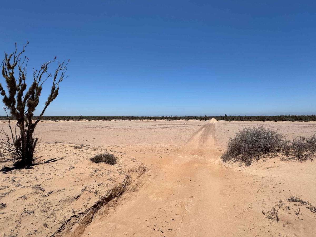
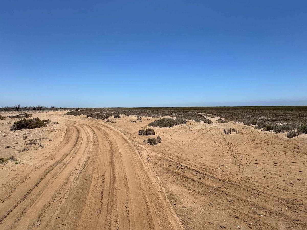
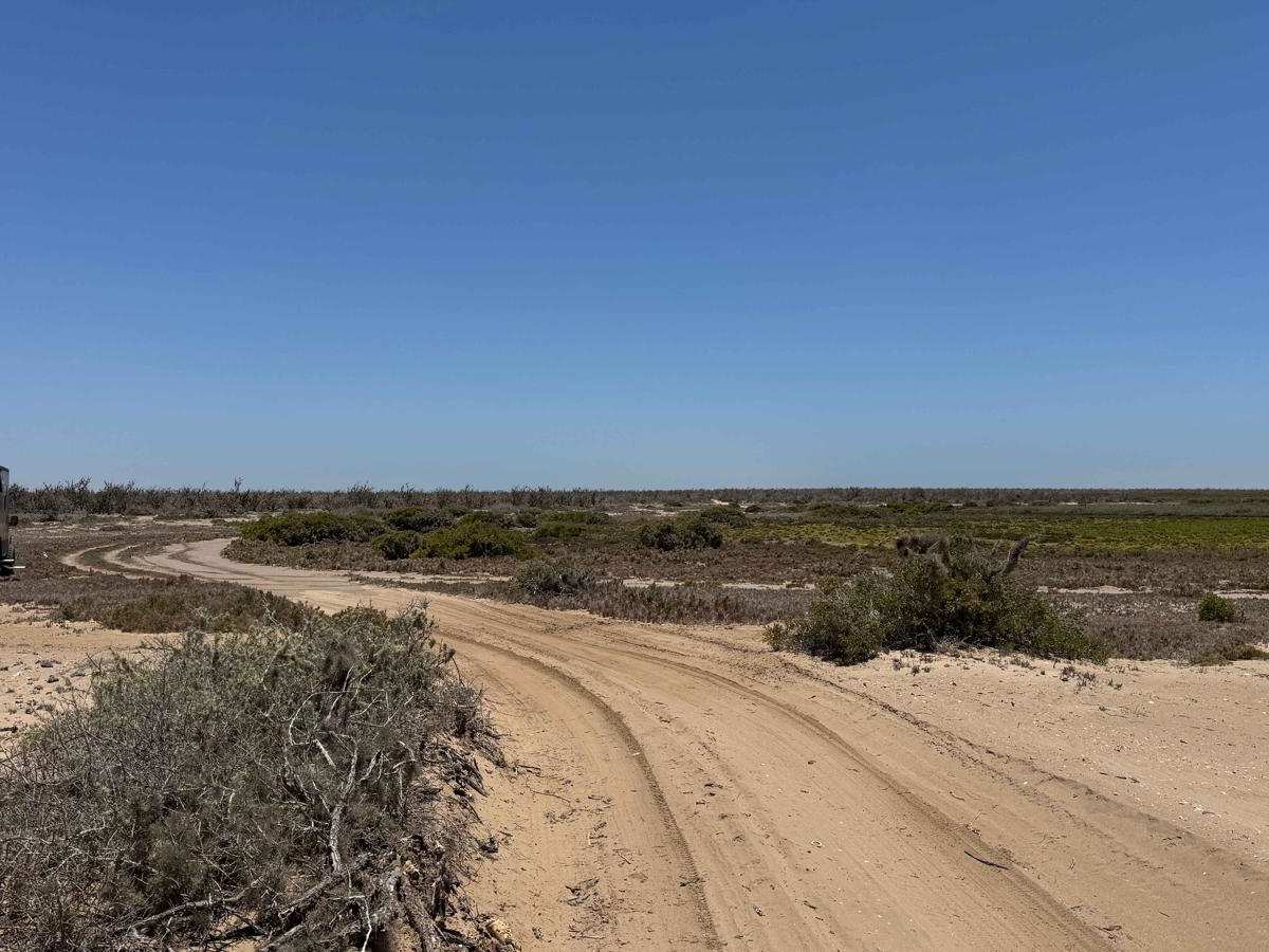
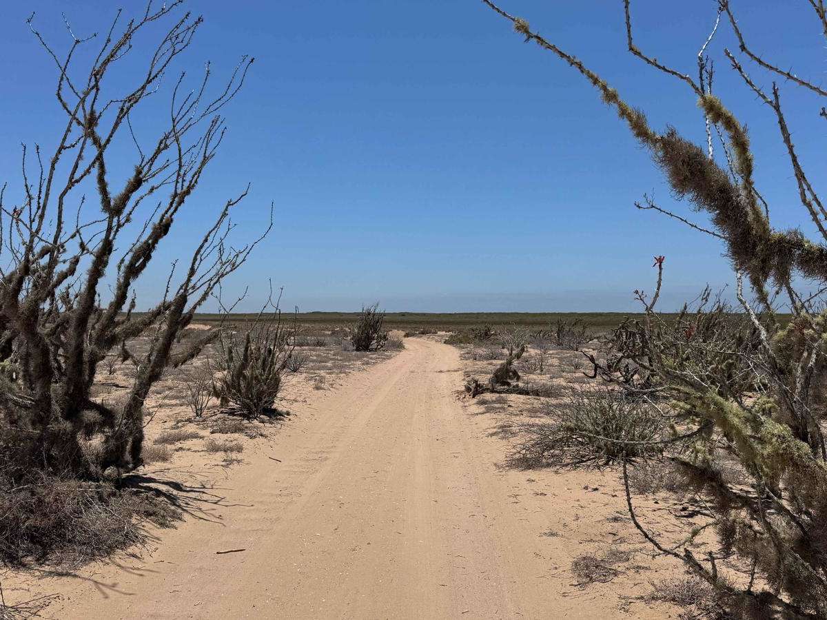
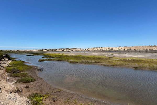
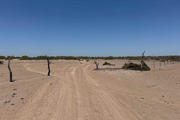
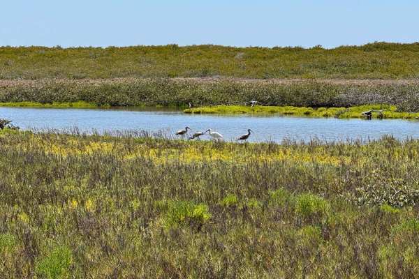
Branching southwest from the transition road between Highway 22 and Adolfo Lopez Mateos, this loop trail offers access to the northern reaches of the mangrove system via several offshoots. The route begins on a well-maintained, hard-packed surface that's suitable for most vehicles, winding through gently rolling terrain and mid-height desert vegetation before descending toward the edge of the mangroves. As you approach, you'll pass a few key intersections before entering the tidal zone, where sections of the northern mangrove roads are prone to flooding during high tides. While most flooded areas have informal bypasses, extreme tides--especially during king tide cycles or following storms--can render these routes impassable. Standing water is a clear warning sign. It's highly recommended to check tide charts in advance. From the southwestern end of this trail, multiple onX-mapped routes continue deeper into the Florida Peninsula, offering extensive exploration through miles of interconnected mangrove paths.
Difficulty
While the descent into the mangrove area is relatively straightforward, four-wheel drive is highly recommended, and reviewing tide charts beforehand is essential. This section of the trail is frequently wet, and standing water is common--especially during high tides. If you need to leave the main track to bypass flooded areas, deep sand awaits, and only vehicles with 4WD and properly aired-down tires will have the traction necessary to get through without getting stuck.