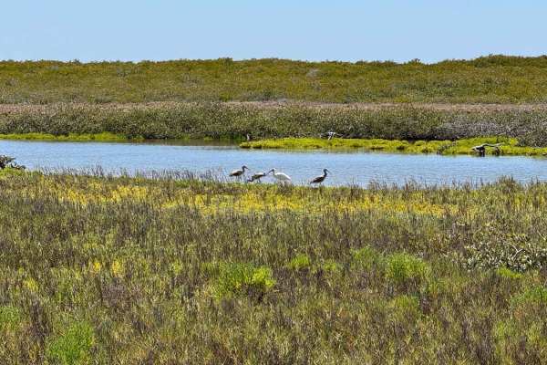
Trail Overview
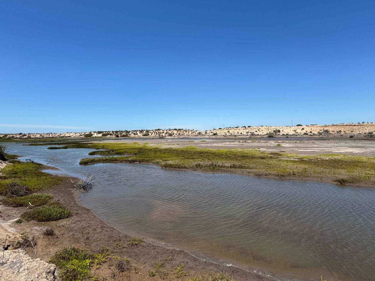
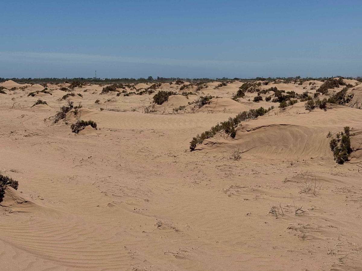
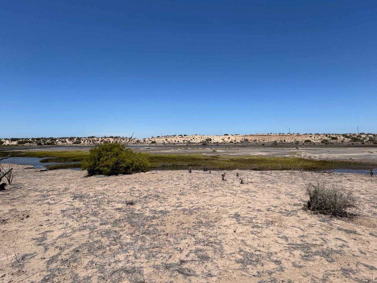
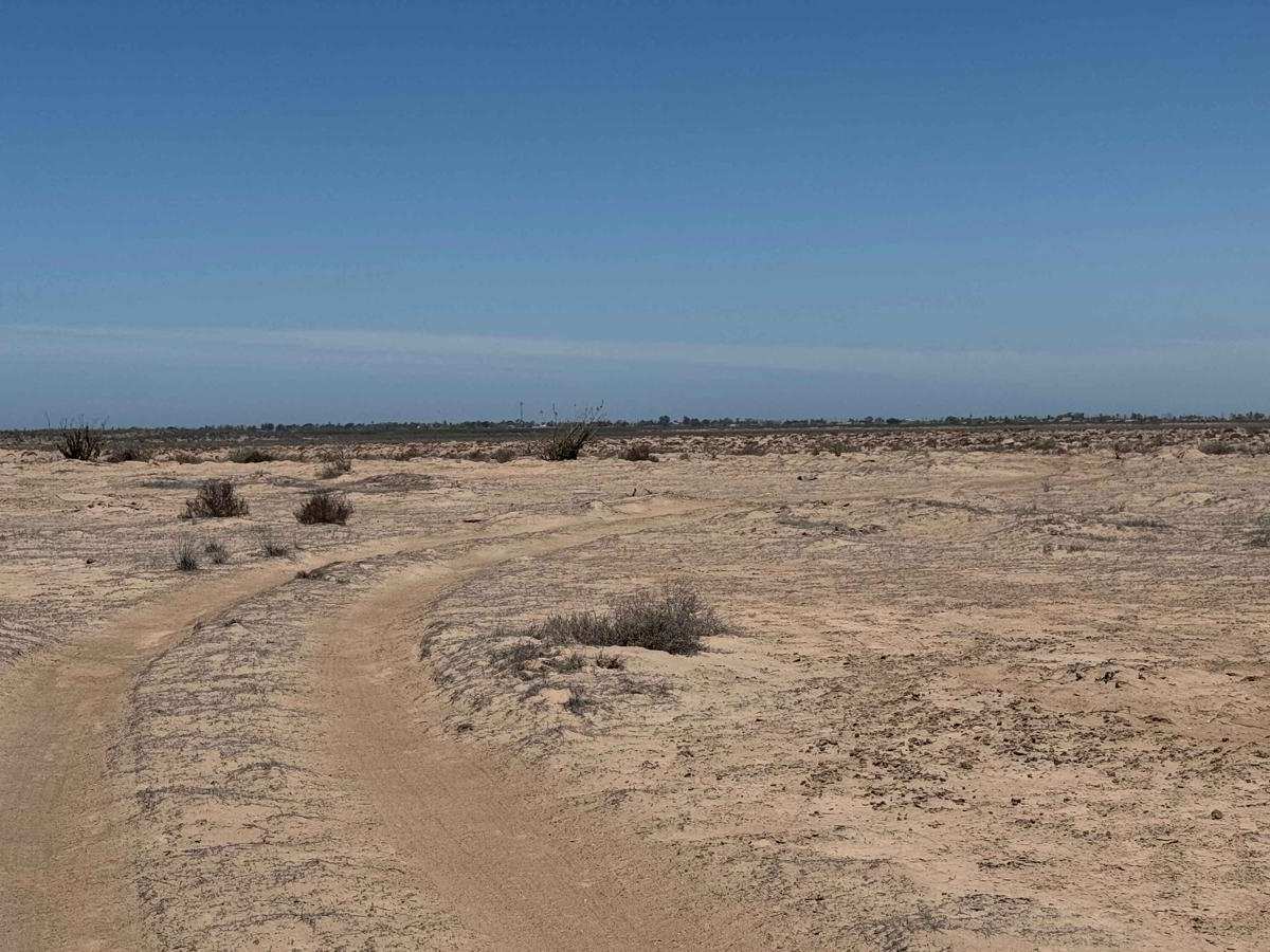
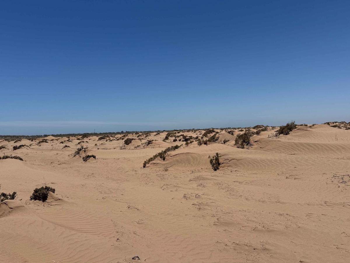
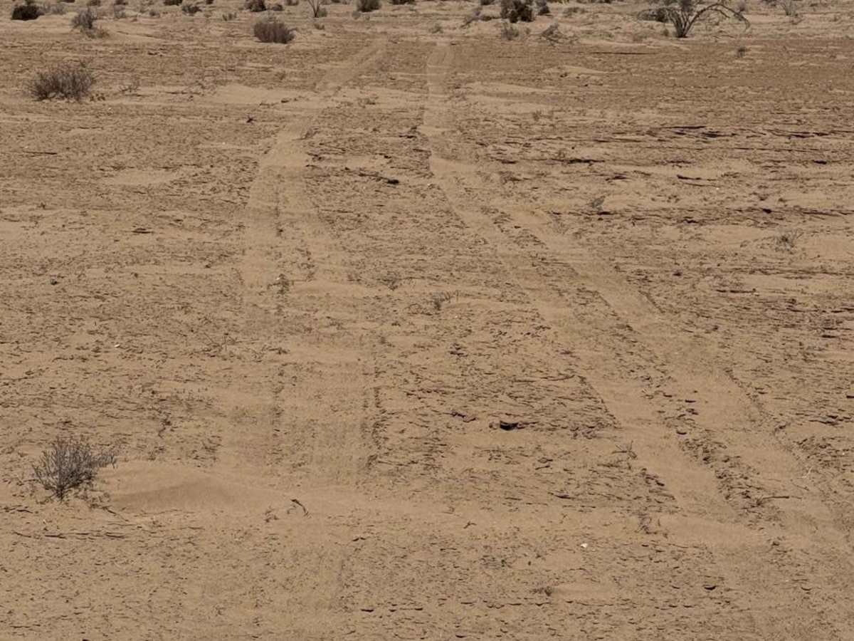
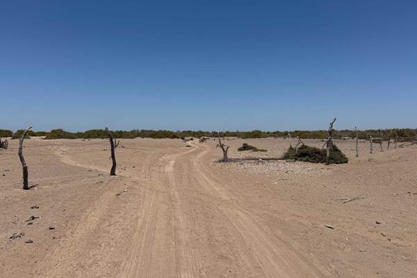
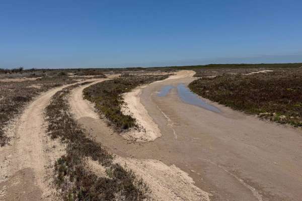
This off-road trail begins where the north-south transition route ends and should not be mistaken as a connector to Puerto Adolfo Lopez Mateos--it will not take you there. Instead, take the route that heads northeast from the intersection, offering the quickest access back to the highway that eventually leads to town. This trail is a narrow two-track, generally suitable for a single vehicle, with occasional passing spots and several dry riverbeds. For the first four miles, it runs almost perfectly straight with about two inches of sand, then begins to wind through a mid-sized arroyo where sparse greenery starts to appear. As the terrain opens up, you'll descend into a vast plain dotted with low, three-foot sand dunes. Here, the road fades and nearly vanishes, offering adventurous travelers the option to break off and navigate faint tracks toward the inland waterway. Though sand drifts are common, the surface remains firm and traction is reliable--even for narrow motorcycle tires. Following the trail as best you can, it leads to a scenic endpoint above the waterway, a solid spot for camping, with a faint two-track continuing in either direction along the shoreline for those looking to explore further.
Difficulty
This trail is relatively easy for the first four miles, but once it breaks away from the main track and the paths begin to diverge, it becomes easy to lose the route--and that can lead to trouble if you're not equipped with 4WD or the ability to air down your tires. Carrying solid recovery gear is strongly recommended in case you get stuck. While the sand is generally firm and offers decent traction, it's surprisingly deceptive--your tracks can vanish within an hour, even in mild wind conditions. This route is rated for dry conditions; if it's wet, be prepared to encounter multiple sections that may hold standing water, significantly increasing the difficulty.