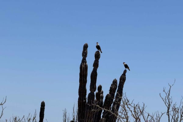
Trail Overview
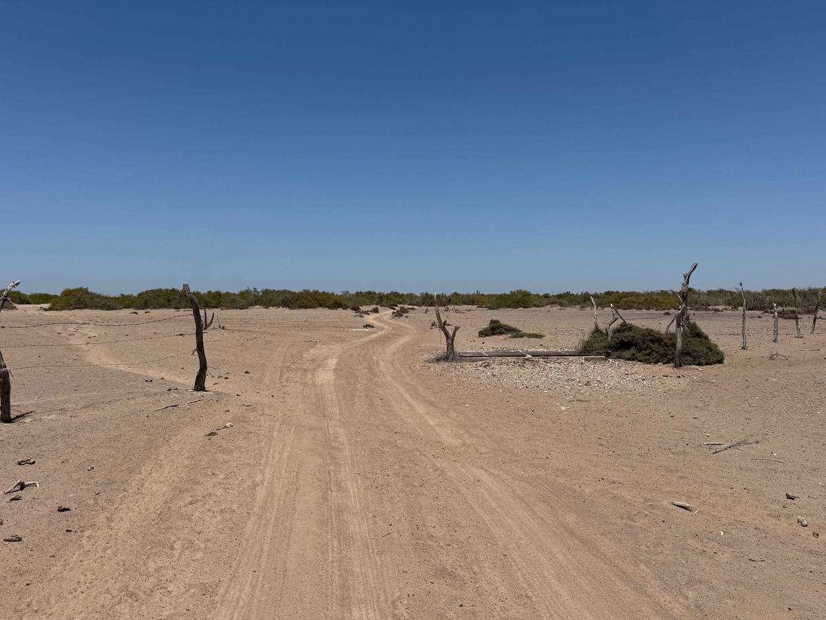
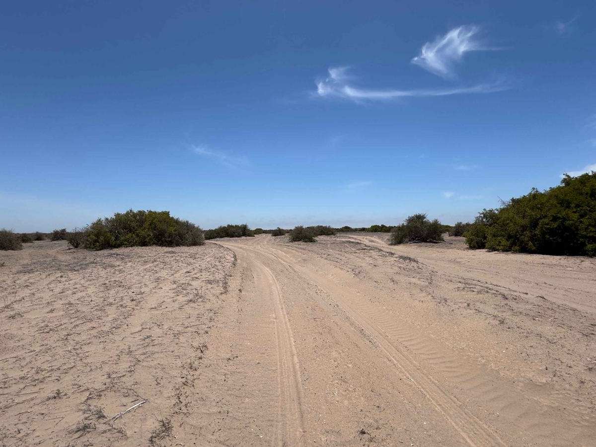
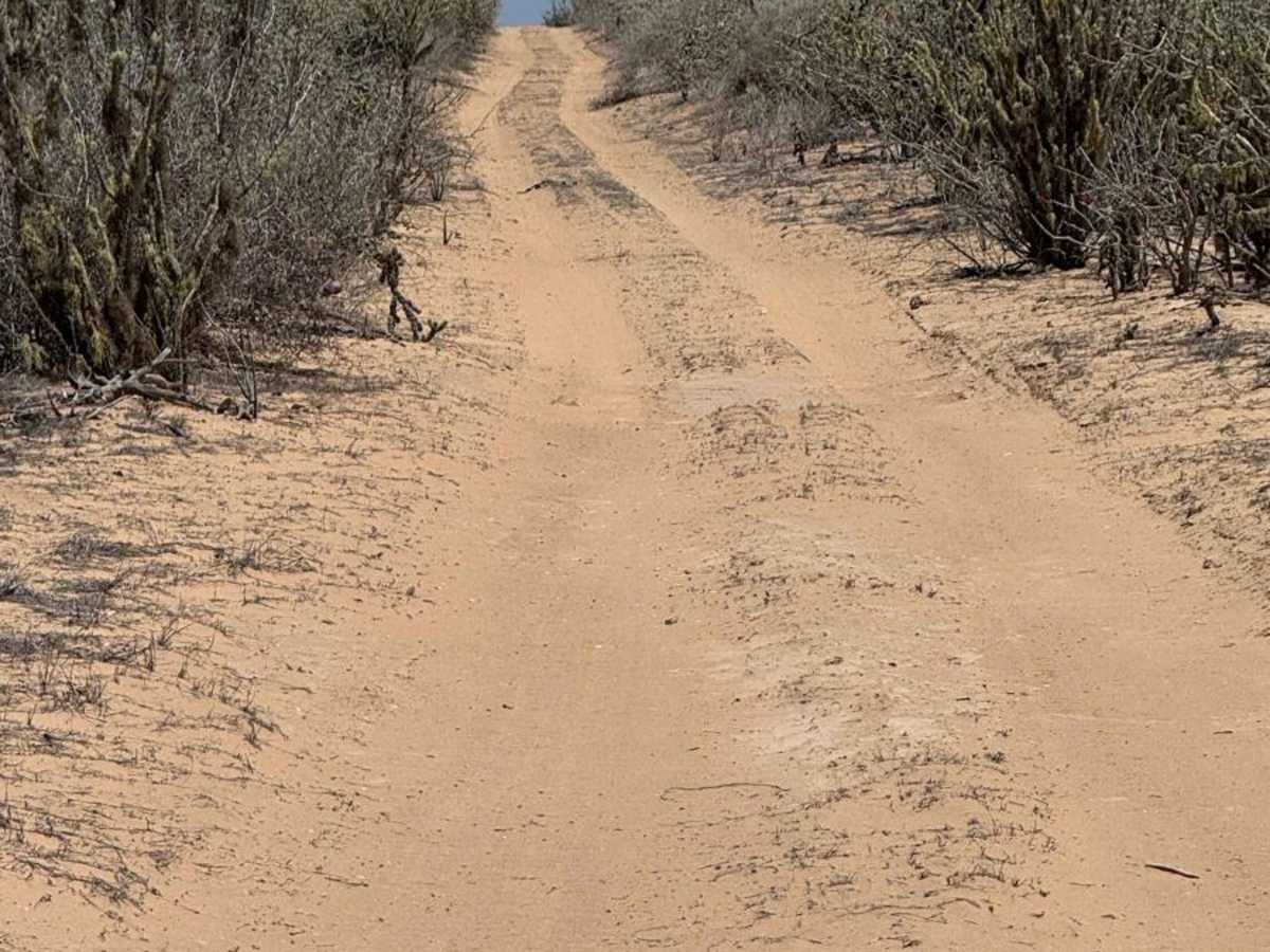
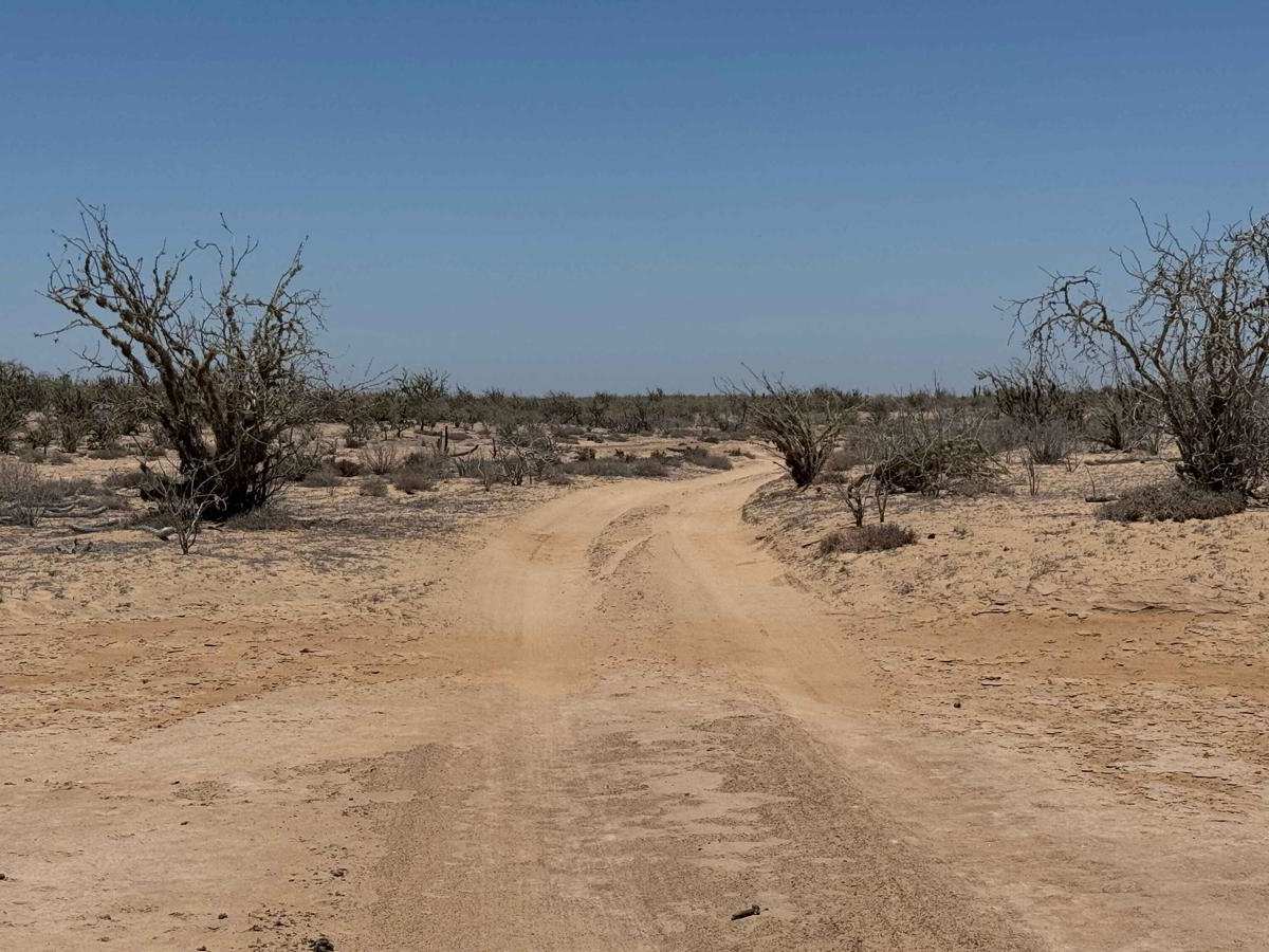
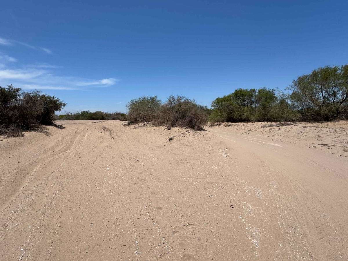
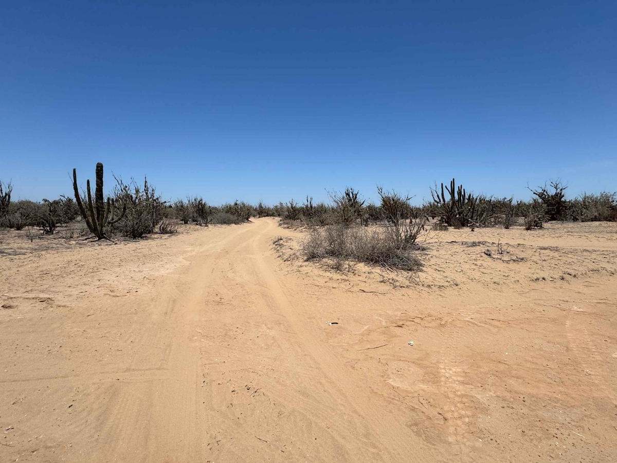
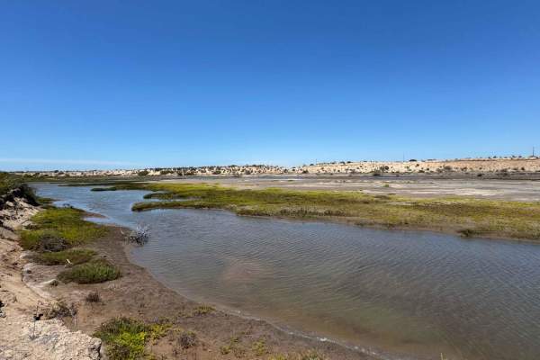
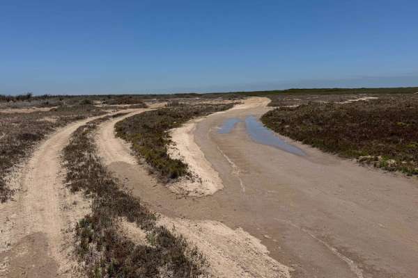
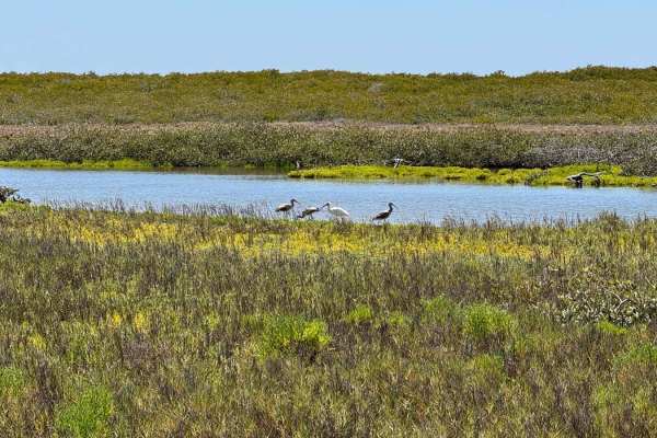
From the north, this trail starts at the Poblado Ramatidas route and heads south, eventually leading toward the mangroves and the fishing spots and camps beyond. The route begins with a silt section that splits into several track options--it can be a little annoying, but it's easy enough to get through, even with a 2WD. After that, the trail firms up into a smooth, hard-packed road that stays consistent almost all the way to the intersection with the North-South Crossover Road. South of that, the terrain gets a bit sandier, and you'll pass a couple of nice camping spots tucked into old, dry riverbeds. From there, the trail begins to descend into an intersection that drops down toward the mangrove area and eventually gives access to the fishing camps further south.
Difficulty
While this section of road isn't particularly difficult, it does lead down to the mangroves, where conditions can change quickly. If you're in a 2WD vehicle, it's especially important to check the tide charts before entering, as parts of the road often have standing water. When the tide is high or the ground is saturated, even 4WD vehicles can run into trouble in these low-lying areas.