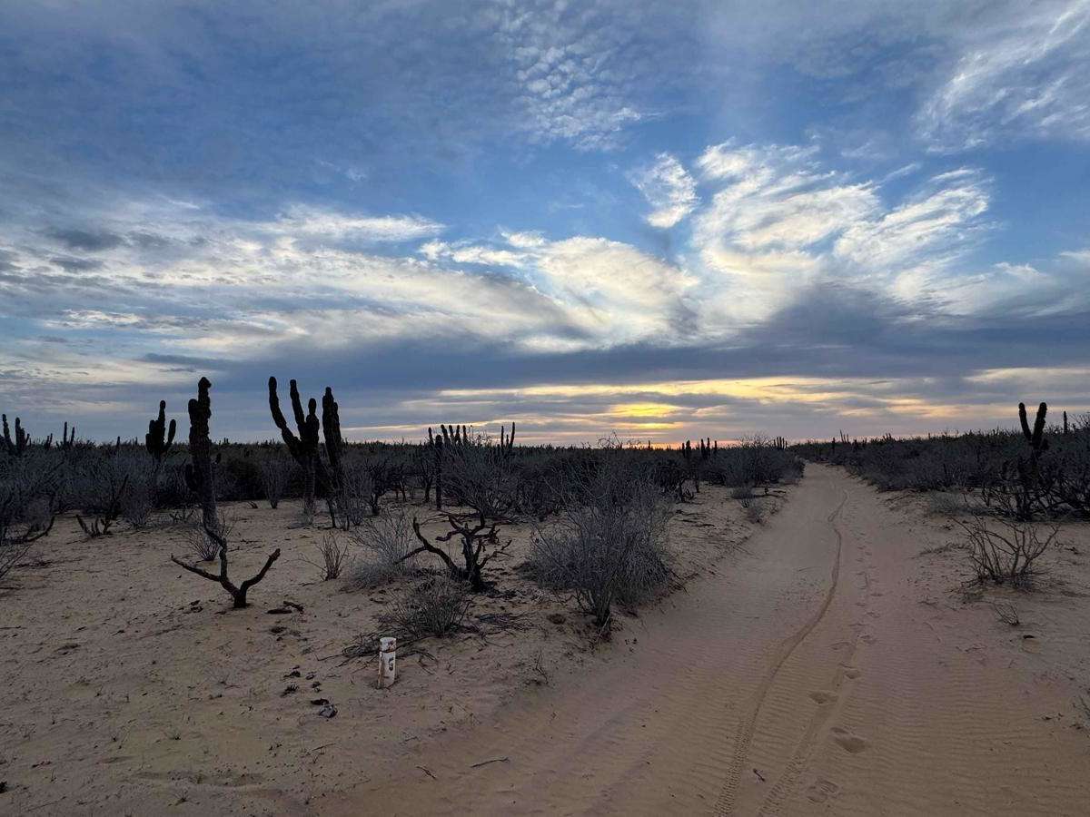
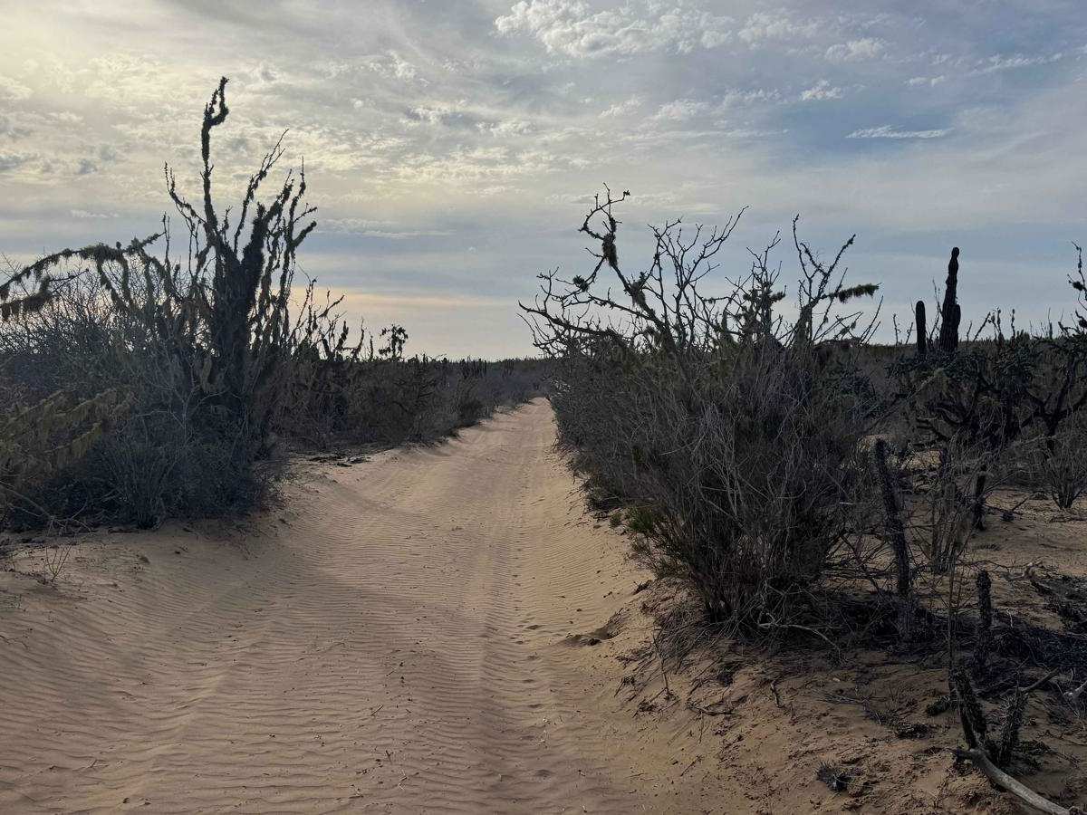
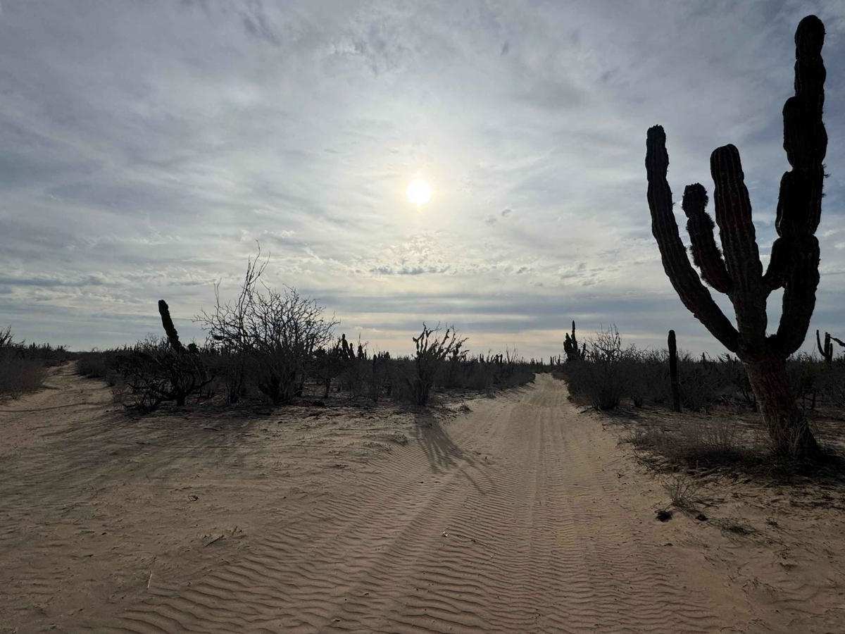
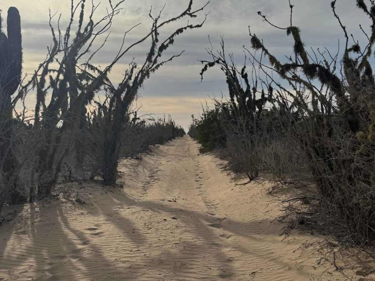
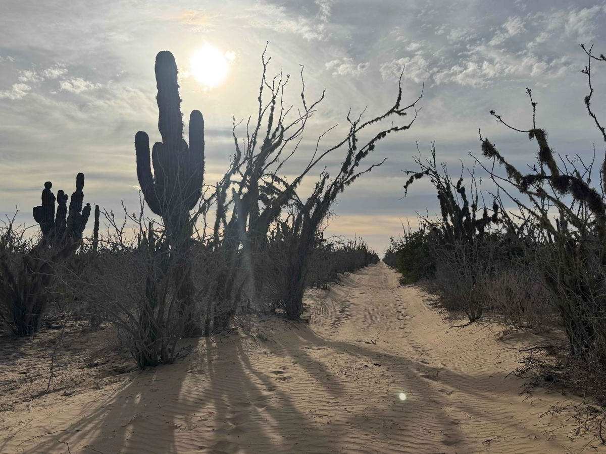
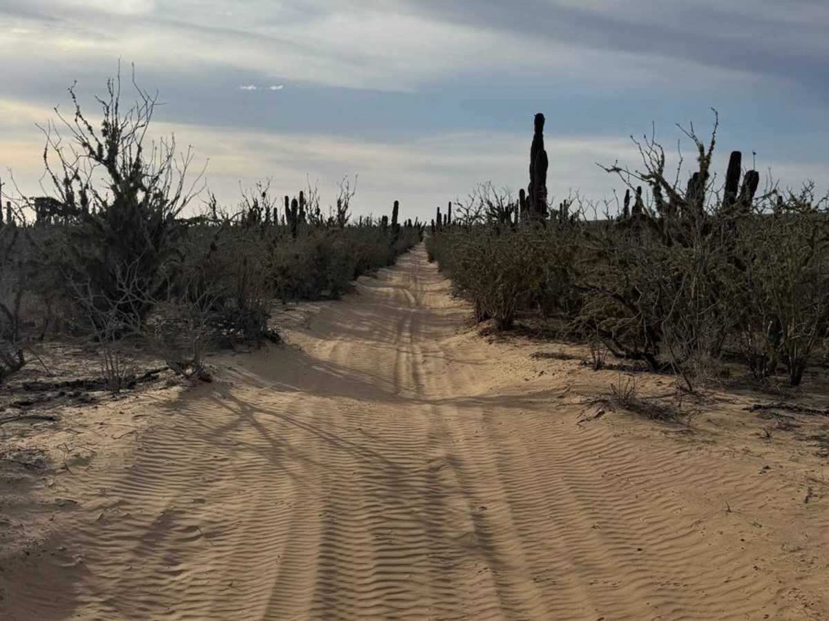
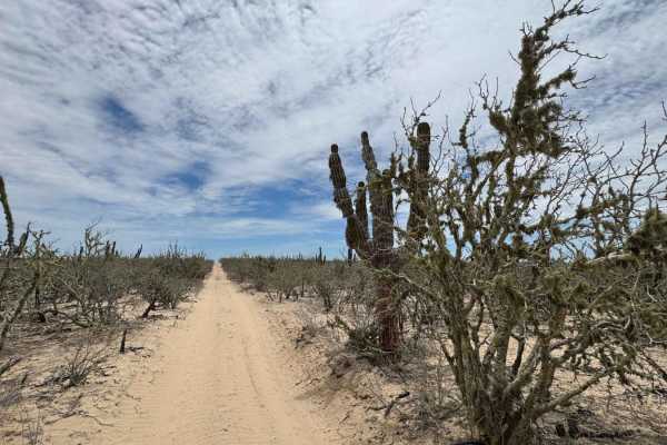
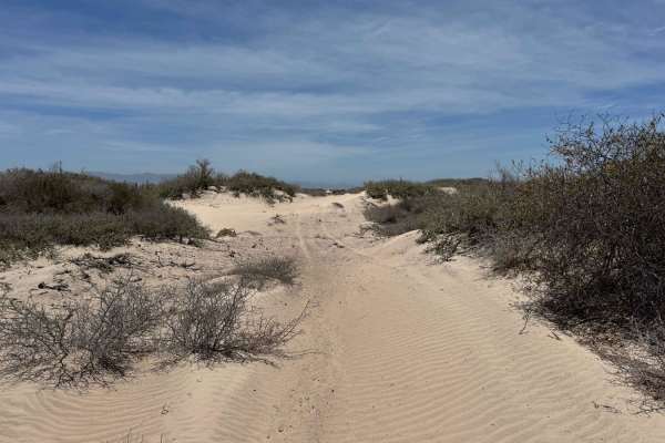
Trail Overview
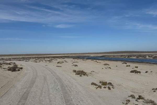
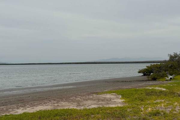
This route begins at a five-way intersection and roughly parallels the coastline, staying clear of the deepest sand but still offering a demanding ride. Be prepared for miles of relentless two to three-foot whoops layered with three to four inches of loose sand. While some short sections offer a break with hard-packed terrain where wind has swept the sand away, these are brief and scattered. Keeping your speed up is key to maintaining momentum through the rhythm of the trail. Full-size vehicles will find it tight in places, with plenty of overgrowth that's likely to leave pinstriping. The whoops never really let up, and the sand deepens in spots as you go. After about six miles, the trail opens onto a large salt flat, where progress ended due to fading light. From there, you can turn left to cross the salt flat toward the ocean or head right to connect with a network of trails leading to Puerto San Carlos.
Difficulty
This is a heavily traveled race section featuring deep sand and frequent whoops, making it ill-advised to attempt without four-wheel drive and the ability to air down your tires. You'll also be crossing salt flats--generally passable in dry conditions, but potentially hazardous when wet, as the soft, saturated ground can quickly turn impassable. Always check conditions before committing to this route.