Trail Overview
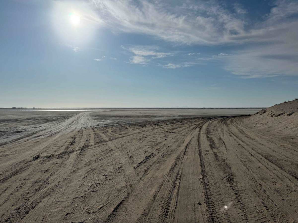
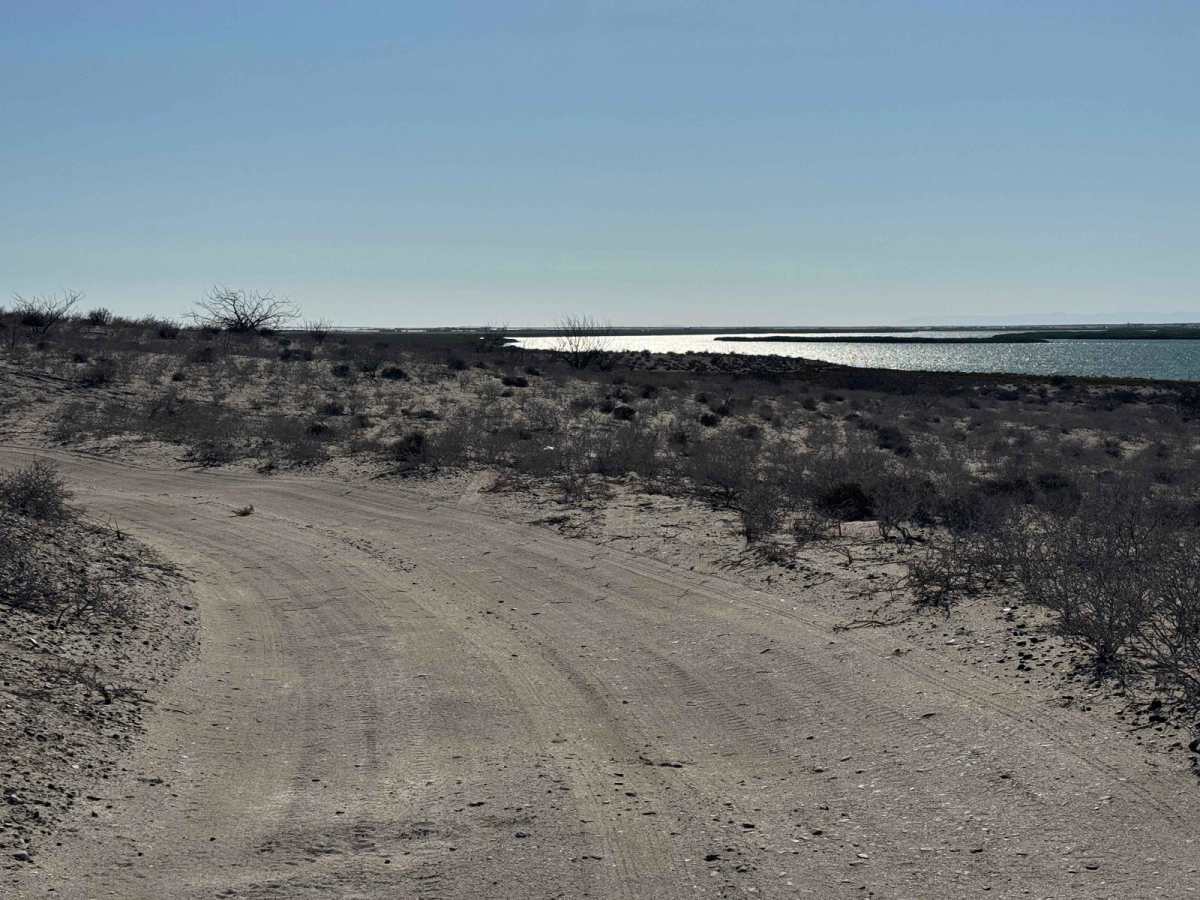
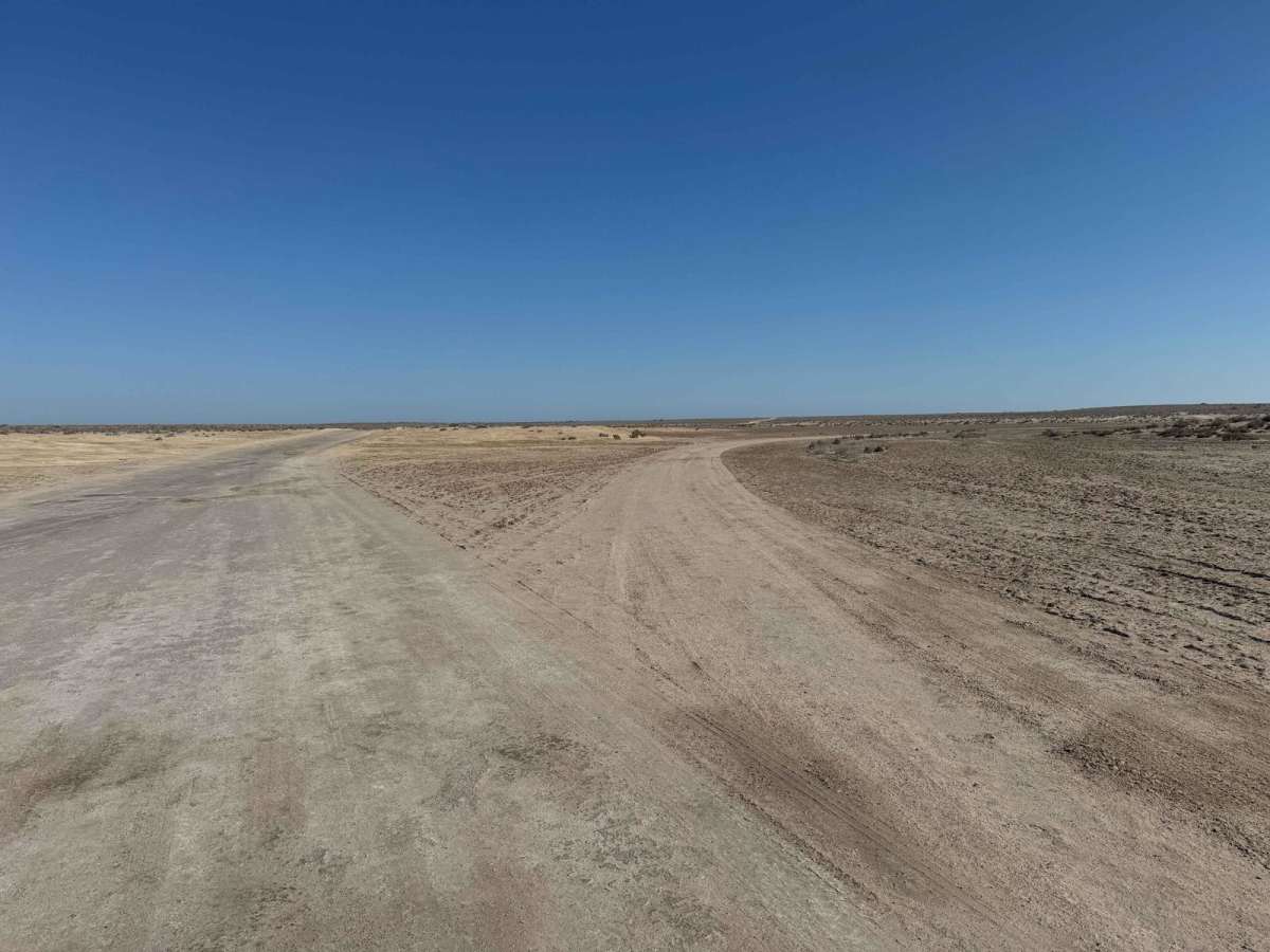
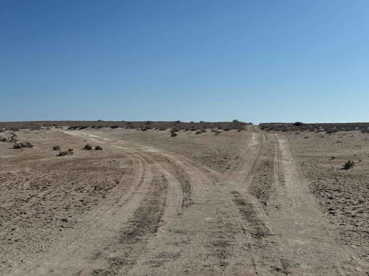
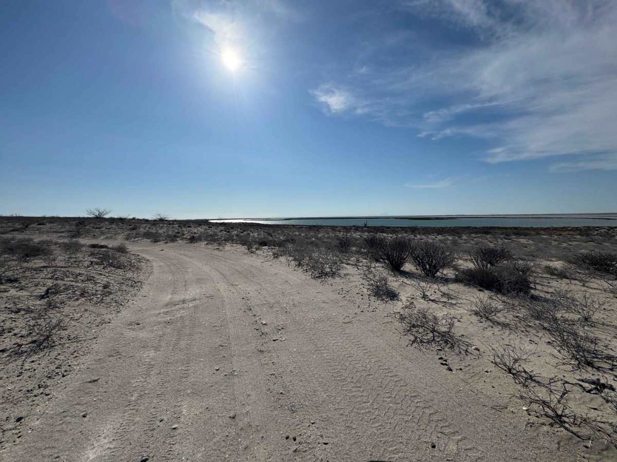
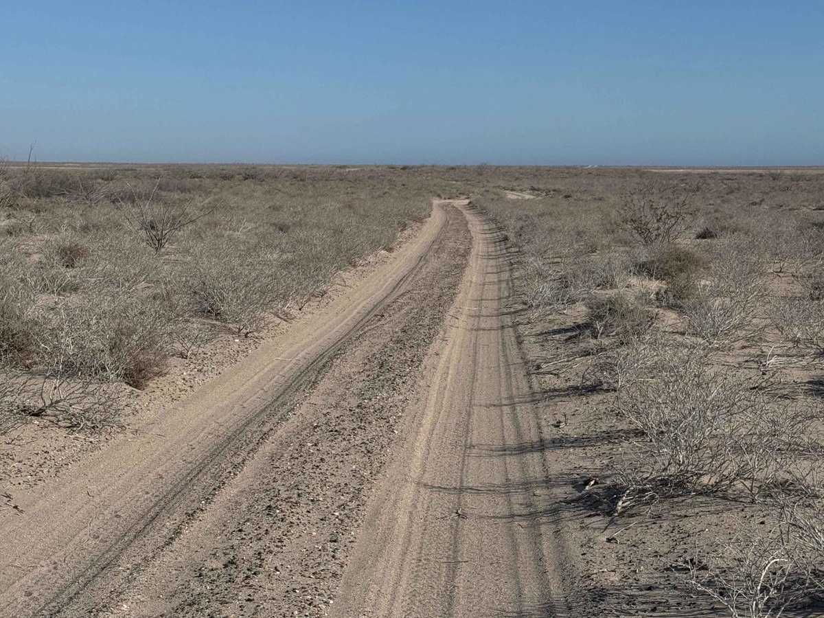
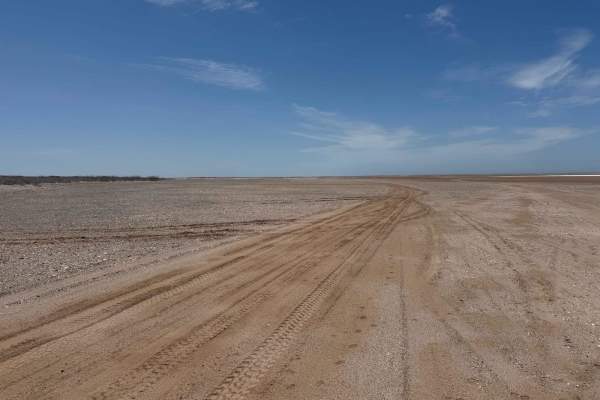
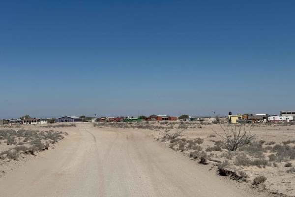
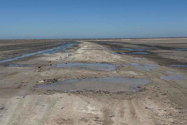
Approaching from the north, Low Route 2 runs along the edge of the salt flats, briefly paralleling the higher alternate trail before veering off across the flats and into a stretch of light sand. While generally easy to navigate in dry conditions, it's essential to stay on the main track, as venturing off can lead to deep, axle-burying mud, as evidenced by stranded tire marks in several sections. After a few miles of gentle sand, the trail curves to reveal sweeping views of the coastline on your right. A short section of mild washboard follows before the trail flattens out across the salt flats, which, when dry, are smooth and fast like pavement. This segment eventually intersects with two additional routes: one climbing back to higher ground and the other continuing along the lower trail. Be cautious - despite appearing dry, the low route often remains damp year-round and includes one particularly questionable crossing that bumps the difficulty up slightly.
Difficulty
As long as you stay on the main trail, you shouldn't need 4WD or run into any issues. However, this is a remote area, and putting even one tire off the track in the wrong spot could cause trouble for a 2WD vehicle. Other than that, the route is generally straightforward in dry conditions.