Trail Overview
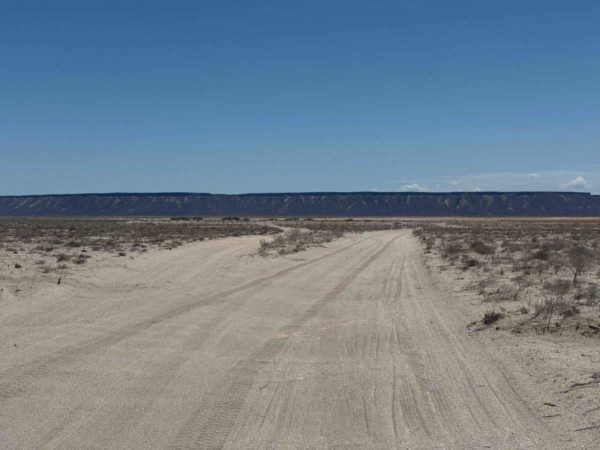
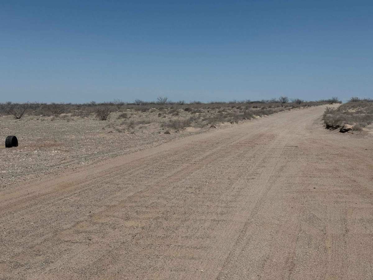
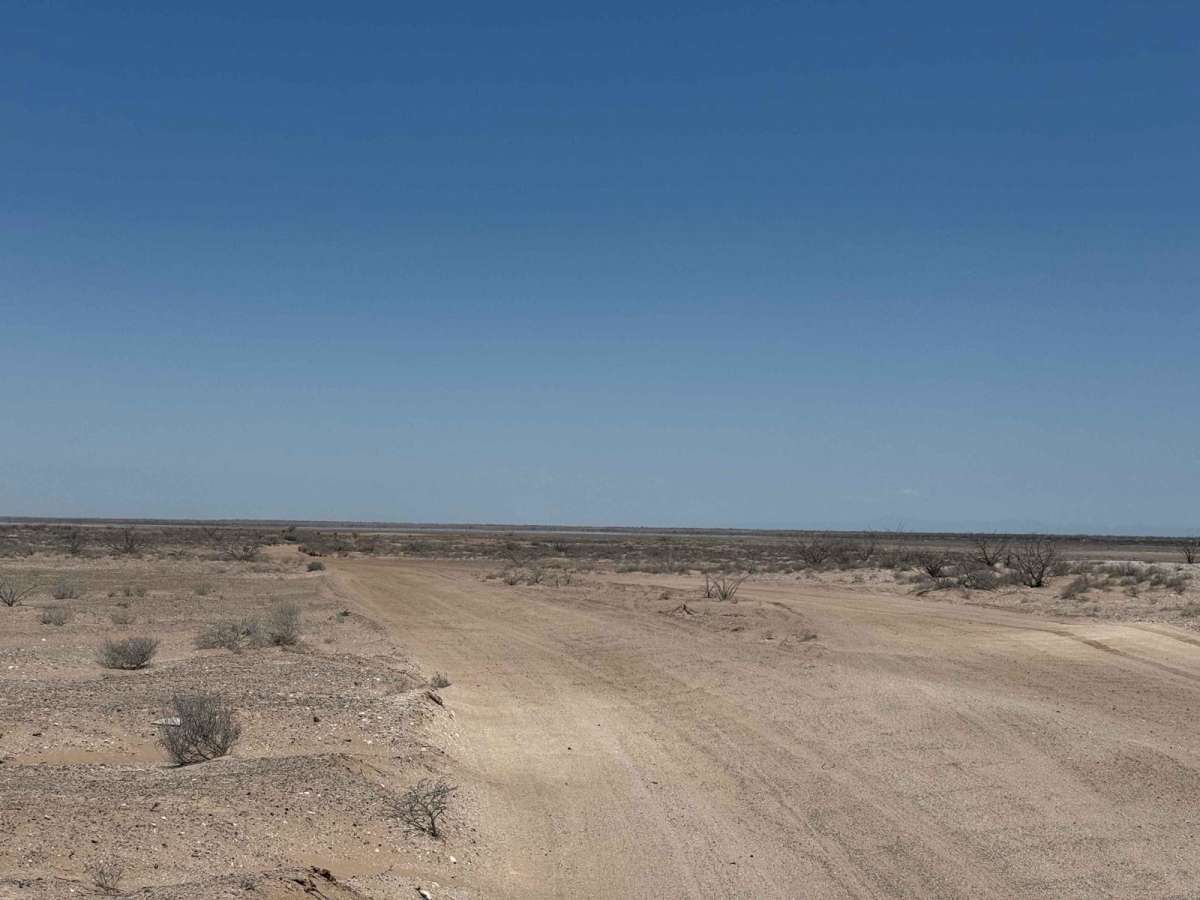
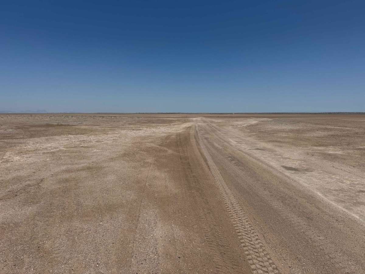
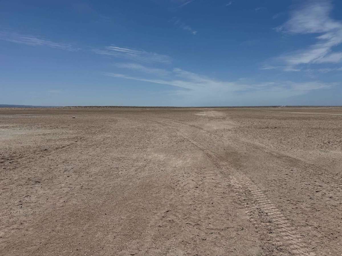
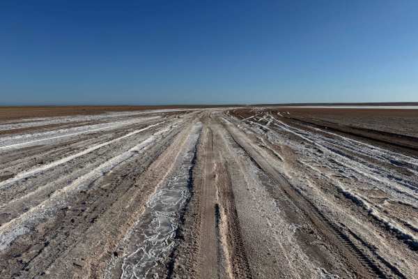
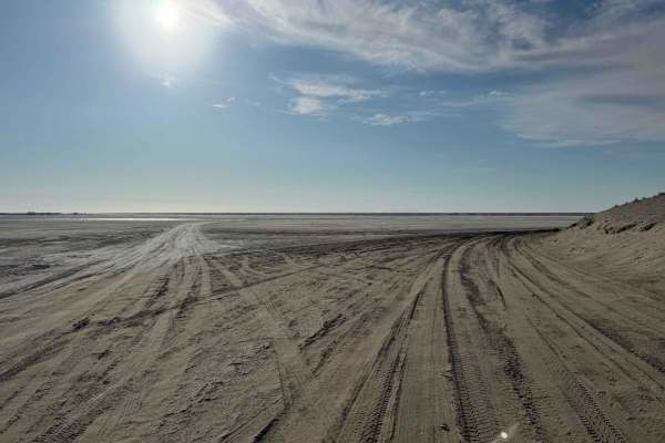
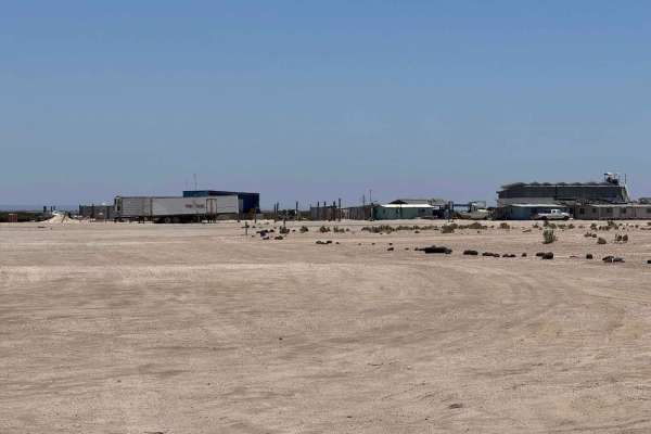
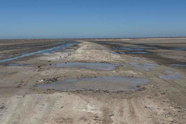
This route begins off the main road connecting San Ignacio and San Juanico, following the higher, drier path along the edge of the upper salt flats - a generally reliable and safe option. It's a straightforward drive for most 2WD vehicles, though high ground clearance is recommended, and it's essential to stay on the main track. Straying off course on the salt flats can quickly lead to getting buried up to the axles, but along this upper section, such hazards are rare and not commonly marked by previous incidents. The route offers several excellent camping spots, especially for larger groups, with expansive flat areas and steady coastal breezes that help keep temperatures comfortable, even in the summer heat. Continuing along the edge of the salt flats, the trail eventually connects with the Low Salt Flats Trail and offers the option to continue into Ejido Luis Echeverria on the higher route.
Difficulty
This is a fairly straightforward and easy route for any 2WD vehicle with decent ground clearance. The key to navigating the salt flat areas safely is to stay strictly on the main, well-traveled track. Venturing off this path--even slightly--can result in any vehicle getting buried to the axles if you hit a soft spot at the wrong time.