Trail Overview
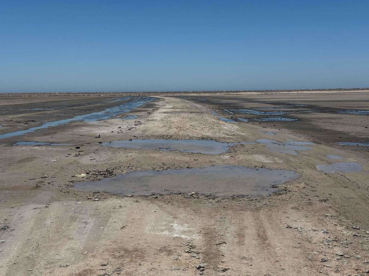
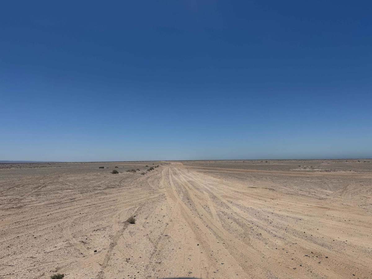
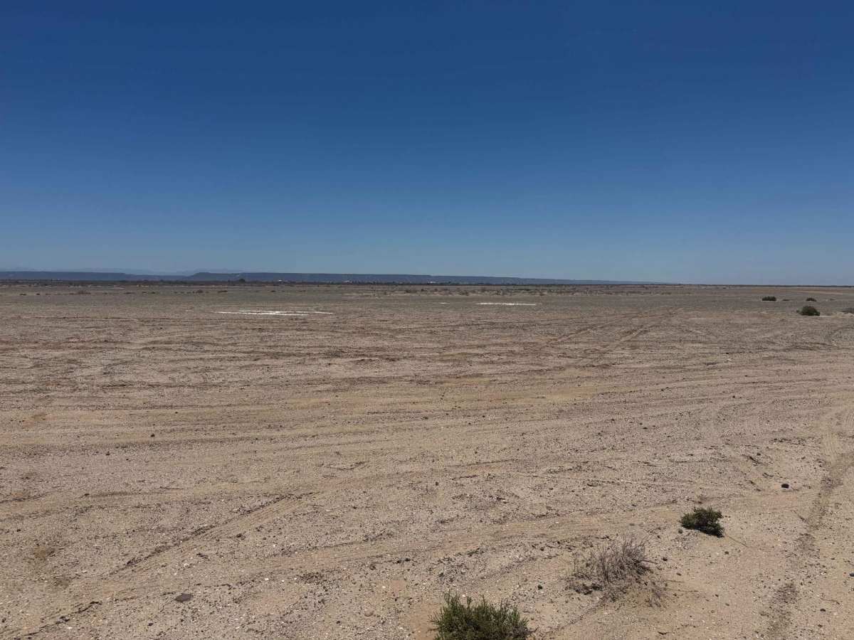
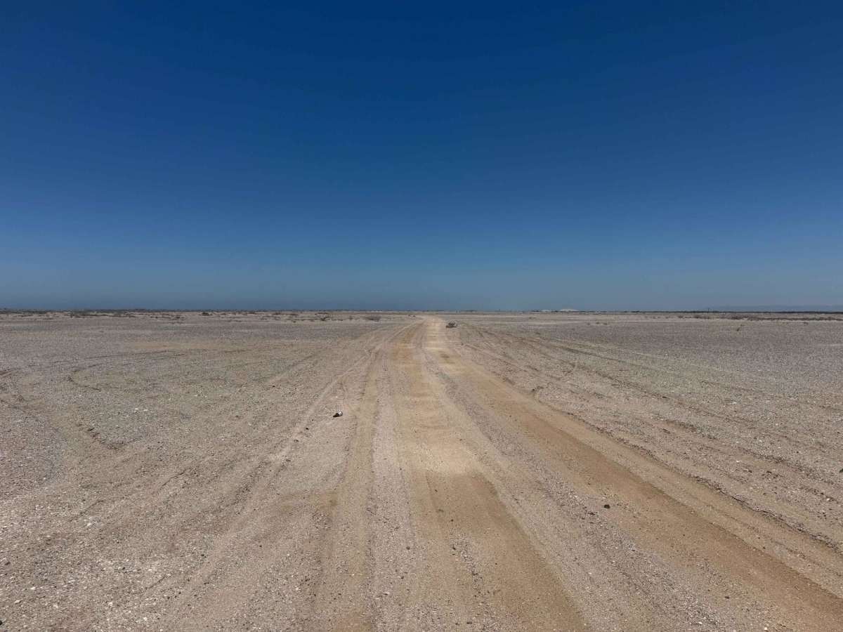
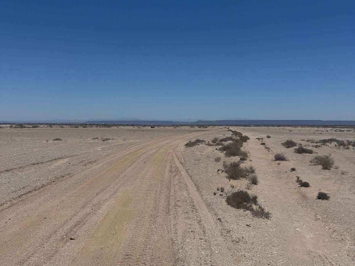
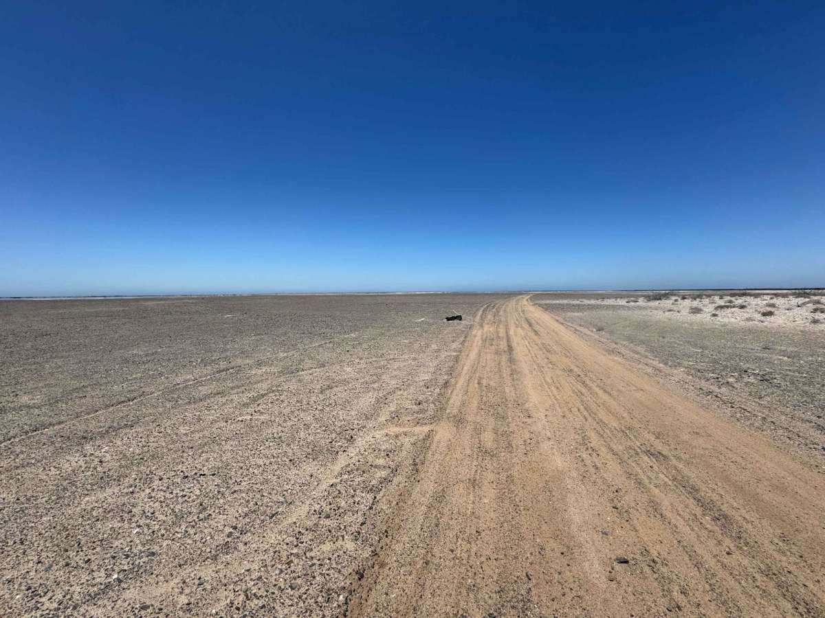
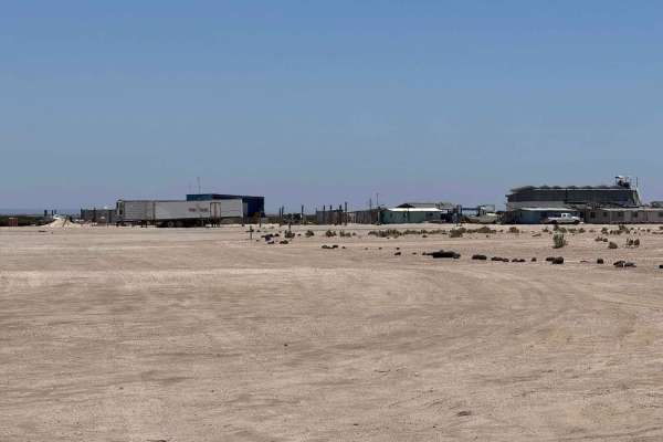
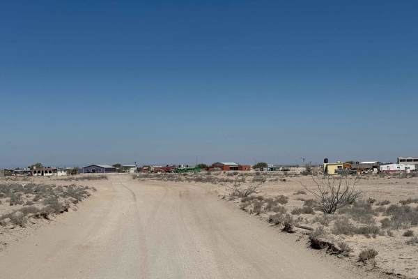
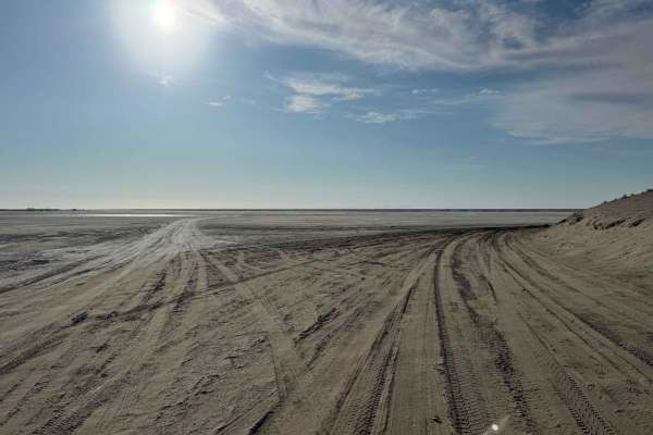
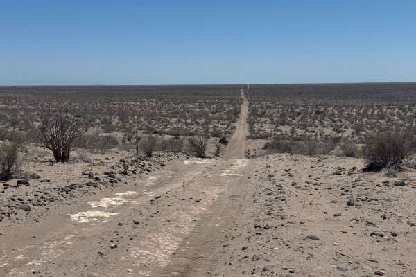
Punta Pacifica East begins near the whale-watching tour operators in the Laguna San Ignacio area and heads inland toward the center of the Baja Peninsula before turning southeast. The trail weaves through terrain often used by SxS and motorcycle riders, eventually reaching the edge of the salt flats. Even in dry conditions, some low-lying sections of the salt can remain wet, particularly where this track runs parallel to the main road for about a quarter mile. In that stretch, locals have stacked rocks across the trail to prevent sinking. On this day, standing water bordered both sides, but staying centered on the trail kept it passable, even for heavier vehicles. After the flats, the trail climbs to slightly higher ground with sandy sections where airing down tires can help, though 4WD isn't typically required. The route then descends again to skim the edge of the salt flats--a quieter, less-traveled area where ground conditions can change quickly. Caution is advised here, as water levels may rise with little warning, and rescue options are limited. From this point on, the trail hugs the higher sand, gradually softening toward its end, with the possibility for limited further exploration depending on conditions.
Difficulty
While this trail isn't particularly technical, it earns its rating due to the potential challenges of crossing sections of salt flats where 4WD may be necessary. It's crucial to stay on the well-traveled, built-up portions of the route, as venturing off the established path can quickly lead to getting stuck in soft, muddy terrain.