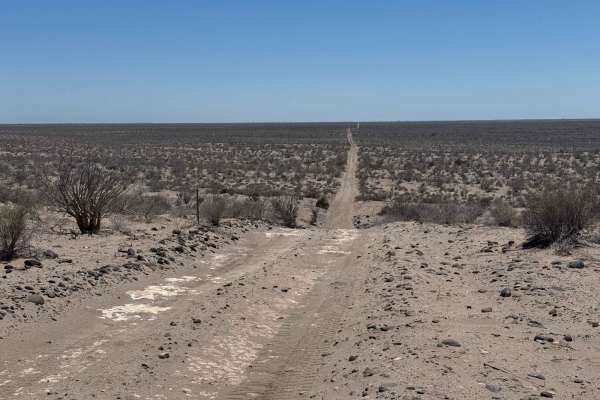
Trail Overview
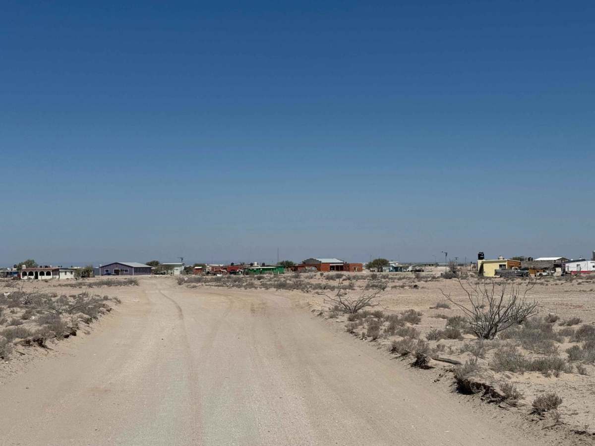
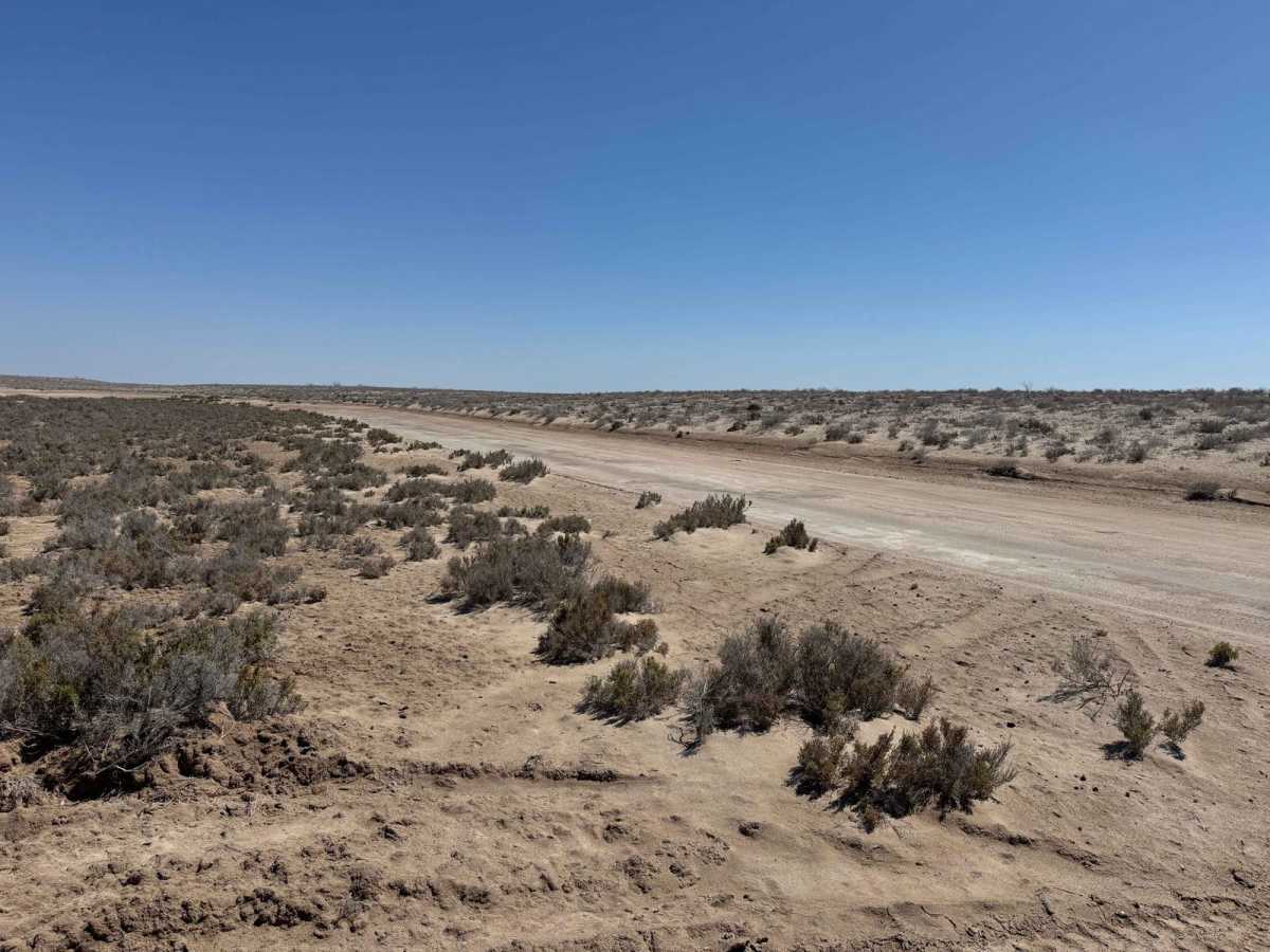
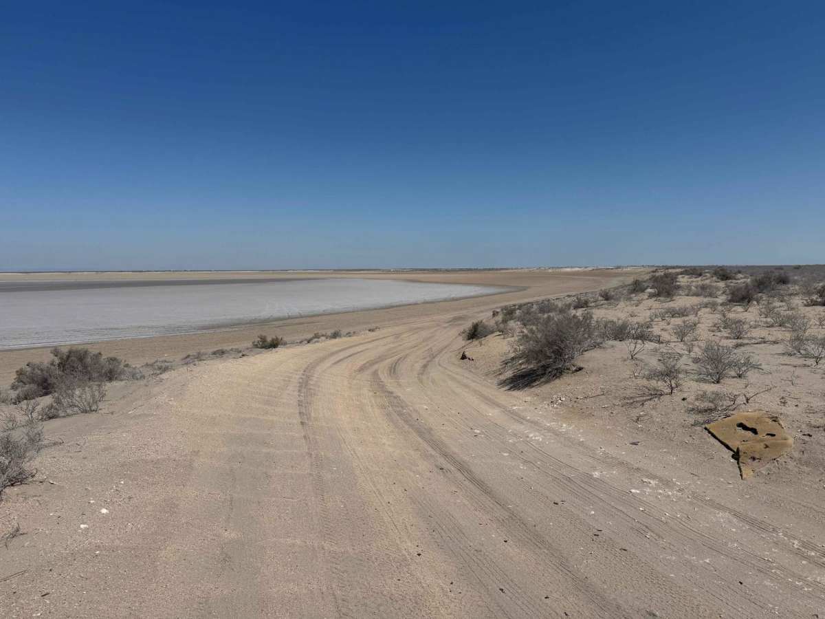
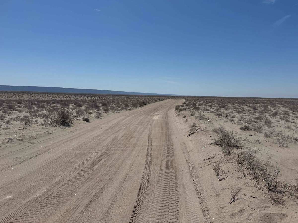
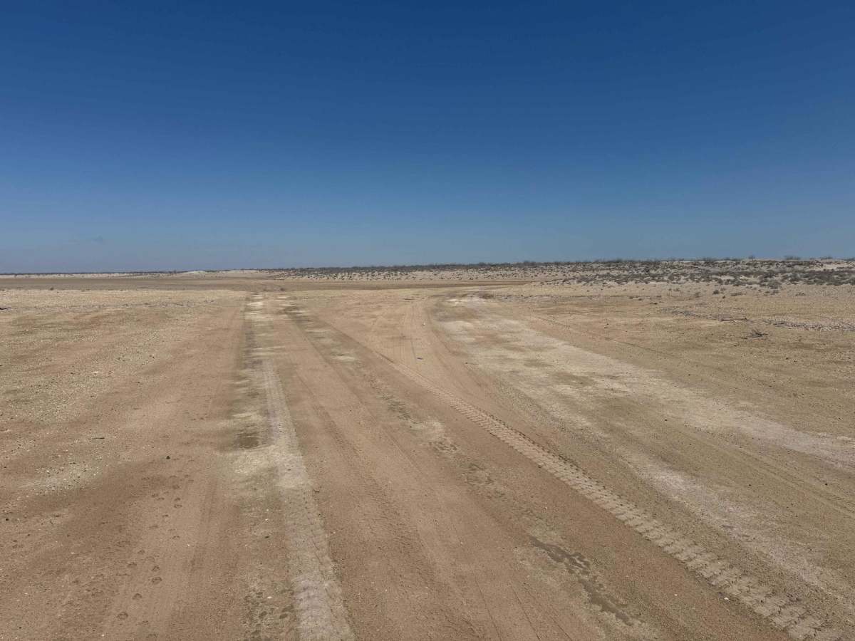
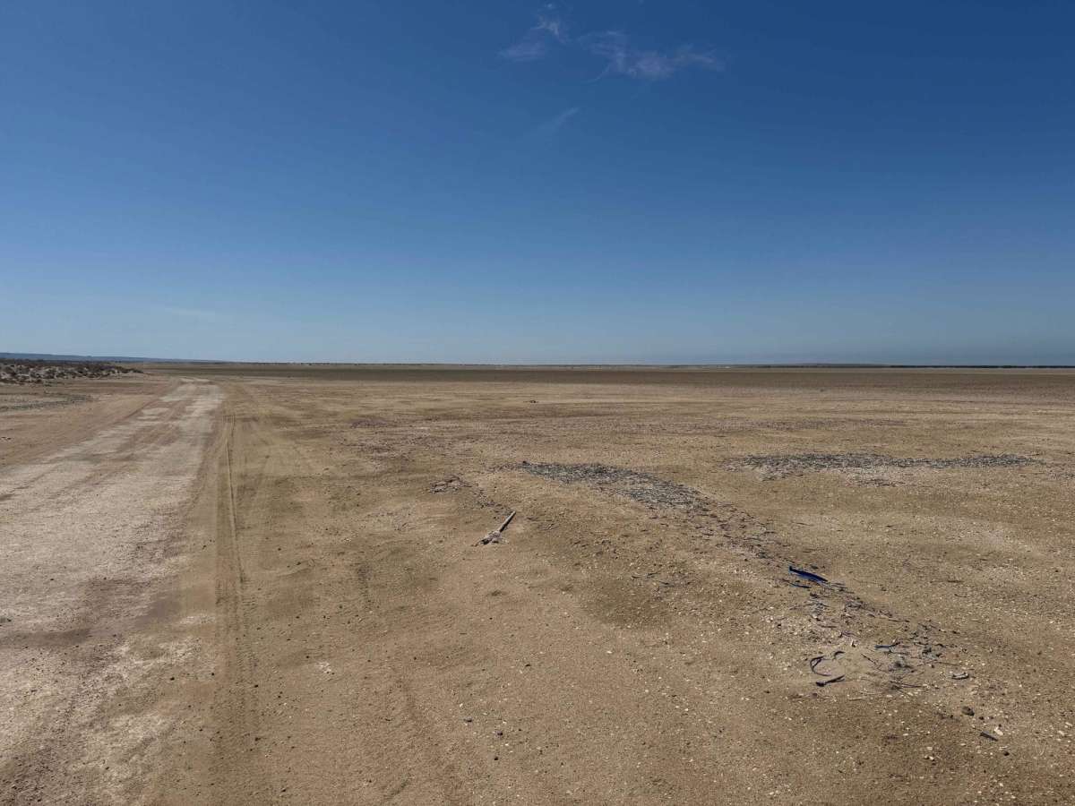
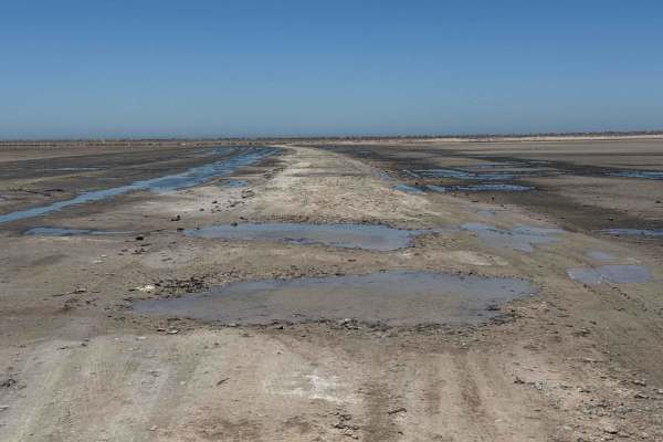
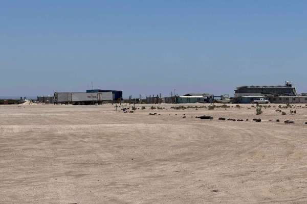
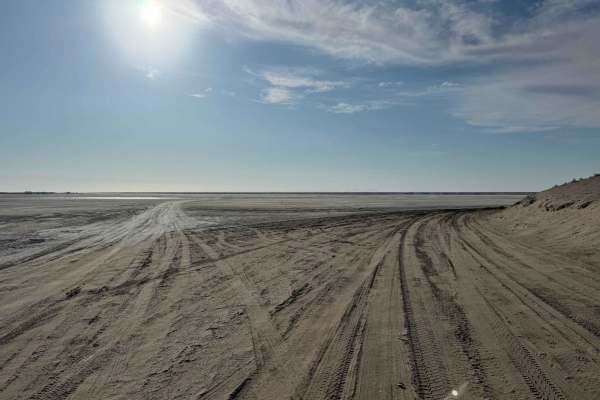
Approaching from the south, Ejido Luis Echeverria begins on the higher of the two trails leading through the salt flats and continues toward Ejido Luis Echeverria. It's thoughtfully routed to pass by both of the town's small stores--an important feature in such a remote area with limited services--before eventually connecting with the main road between San Ignacio and Laguna San Ignacio, not far from seasonal whale-watching tour sites. The trail itself is fairly uneventful near town, with a few mild washboard sections. Once you leave the sand behind, the surface transitions to the smooth, almost pavement-like texture of the upper salt flats, where it's critical to stay on track to avoid soft spots. After about five miles, the route intersects again with both the low and high trails, offering the option to continue toward El Datil or return to the main road that eventually leads to San Juanico.
Difficulty
This is an easy road with no technical challenges, and it's suitable for most vehicles. However, any 2WD vehicle traveling in this area risks getting stuck if you veer off the established path. As long as you stay on track and conditions remain dry, you shouldn't encounter any issues.