Trail Overview
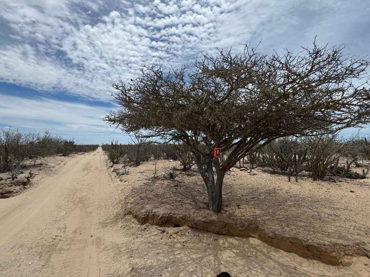
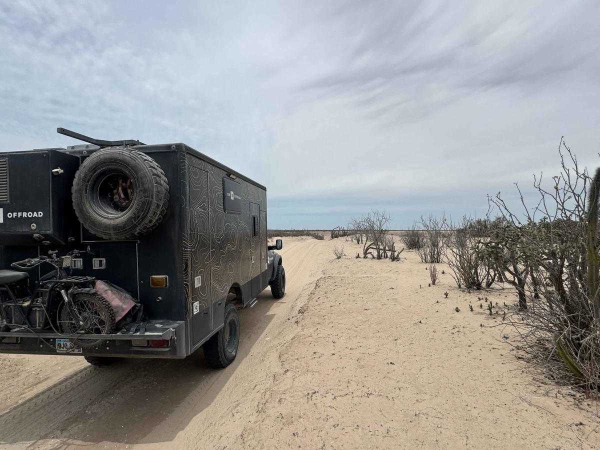
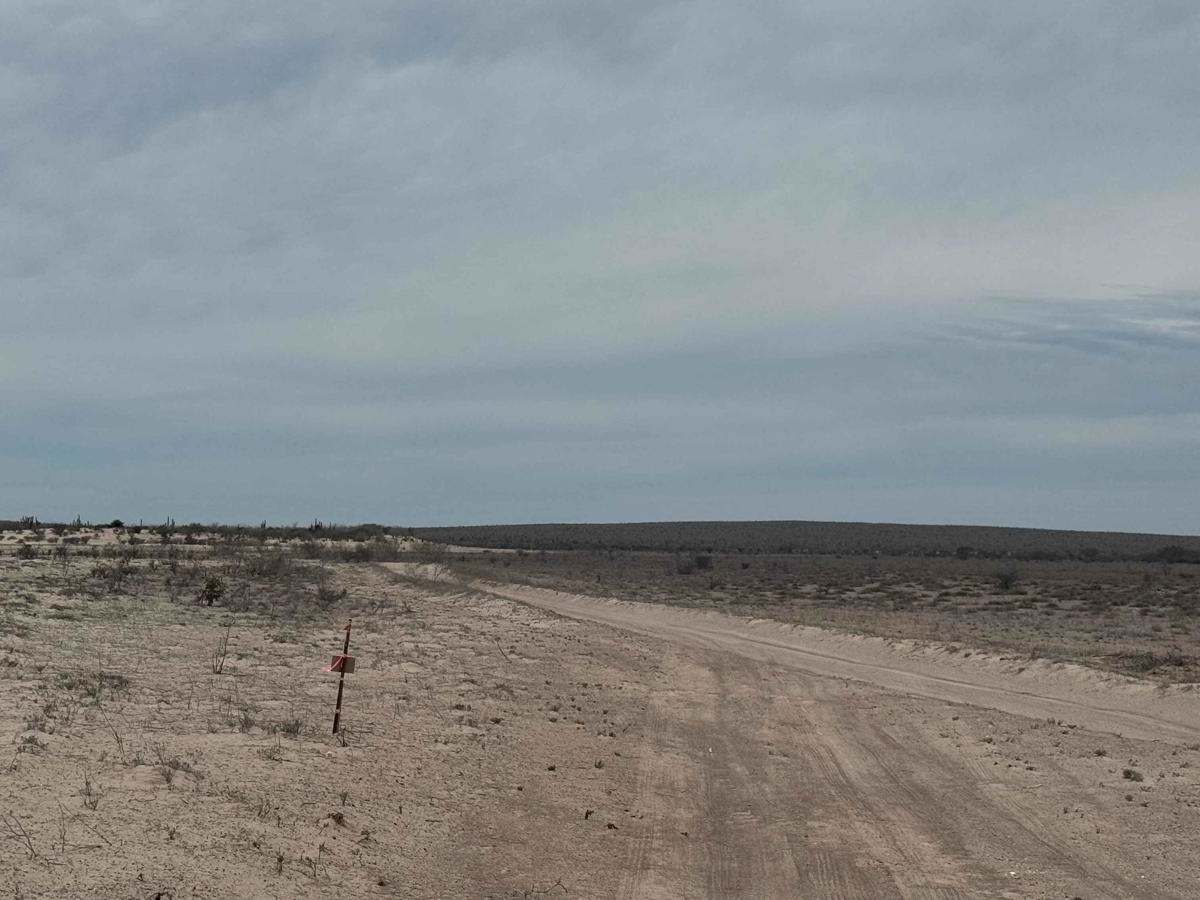
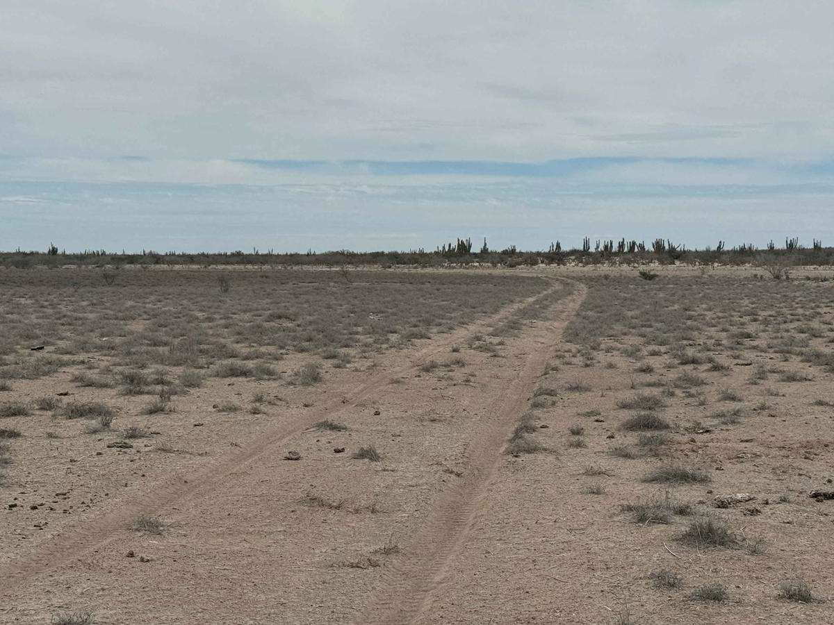
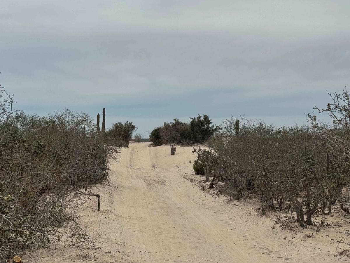
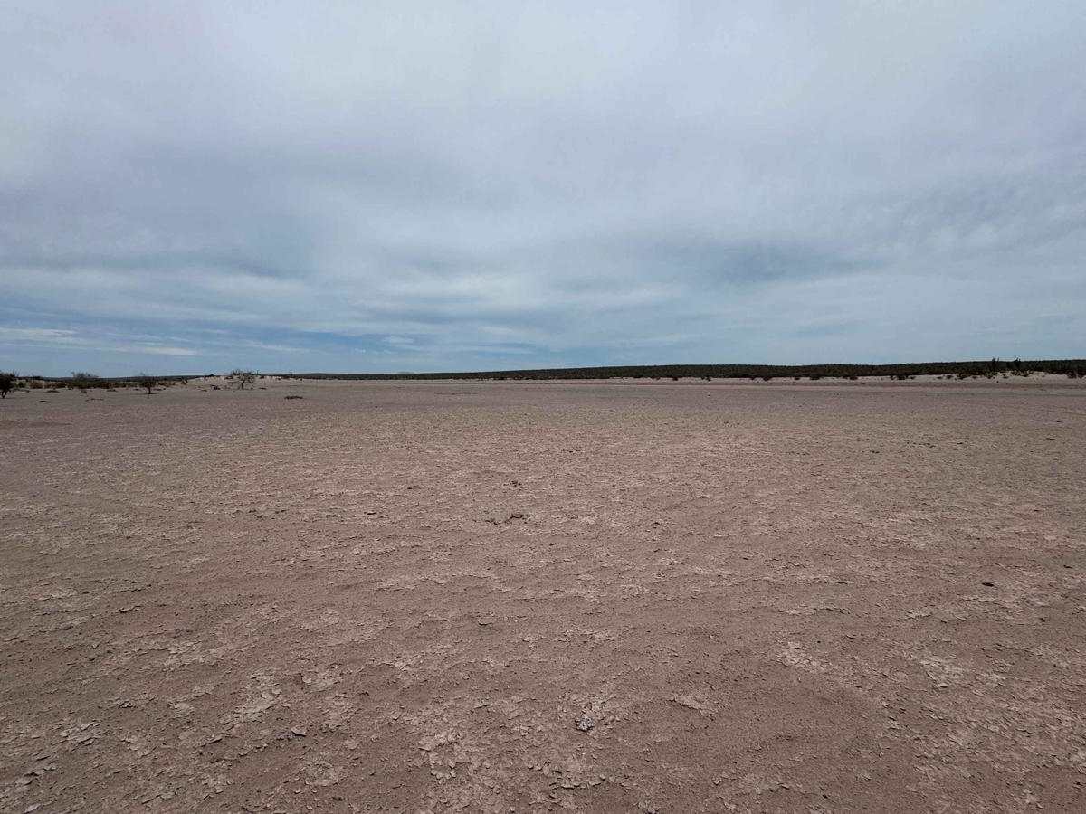
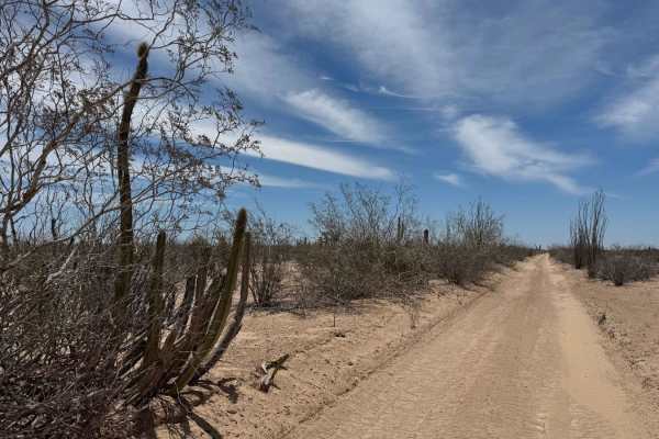
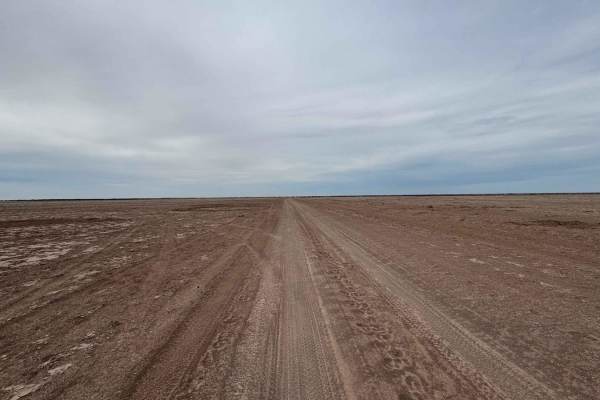
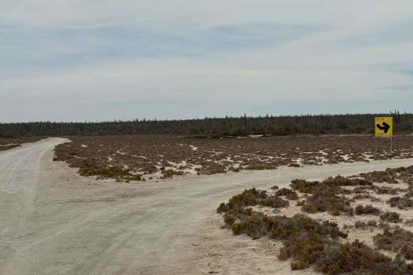
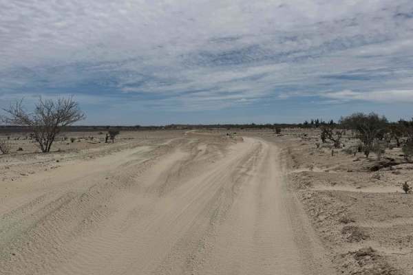
This route begins at the road to Punta Cancun and heads west across a vast dry lake bed, weaving through stretches of soft, 3- to 4-inch-deep sand. At times, the trail climbs out of the lakebed into the desert for brief sections--typically a half to three-quarters of a mile--before dropping back down. Upon reaching the widest section of the lakebed, you'll face several route options, including two or three well-worn paths, one of which is a commonly used race course. Your choice here should be guided by current weather conditions: if dry, nearly all paths are viable, including a direct crossing; if wet, it's essential to stay high and follow the elevated desert edges to avoid potentially impassable mud. Most of these paths eventually converge into a single trail, which leads to a quiet campsite. For those looking to explore further, the route continues beyond this point, with possible connections toward Ciudad Constitucion or San Carlos, depending on trail conditions and seasonal access.
Difficulty
This is a very easy trail that typically won't require engaging 4WD in dry conditions. However, if the area is wet, extreme caution is advised. The dry lake bed can become unpredictable and hazardous when saturated, and attempting to cross in those conditions may not be advisable. Always assess the terrain carefully before proceeding.