Trail Overview
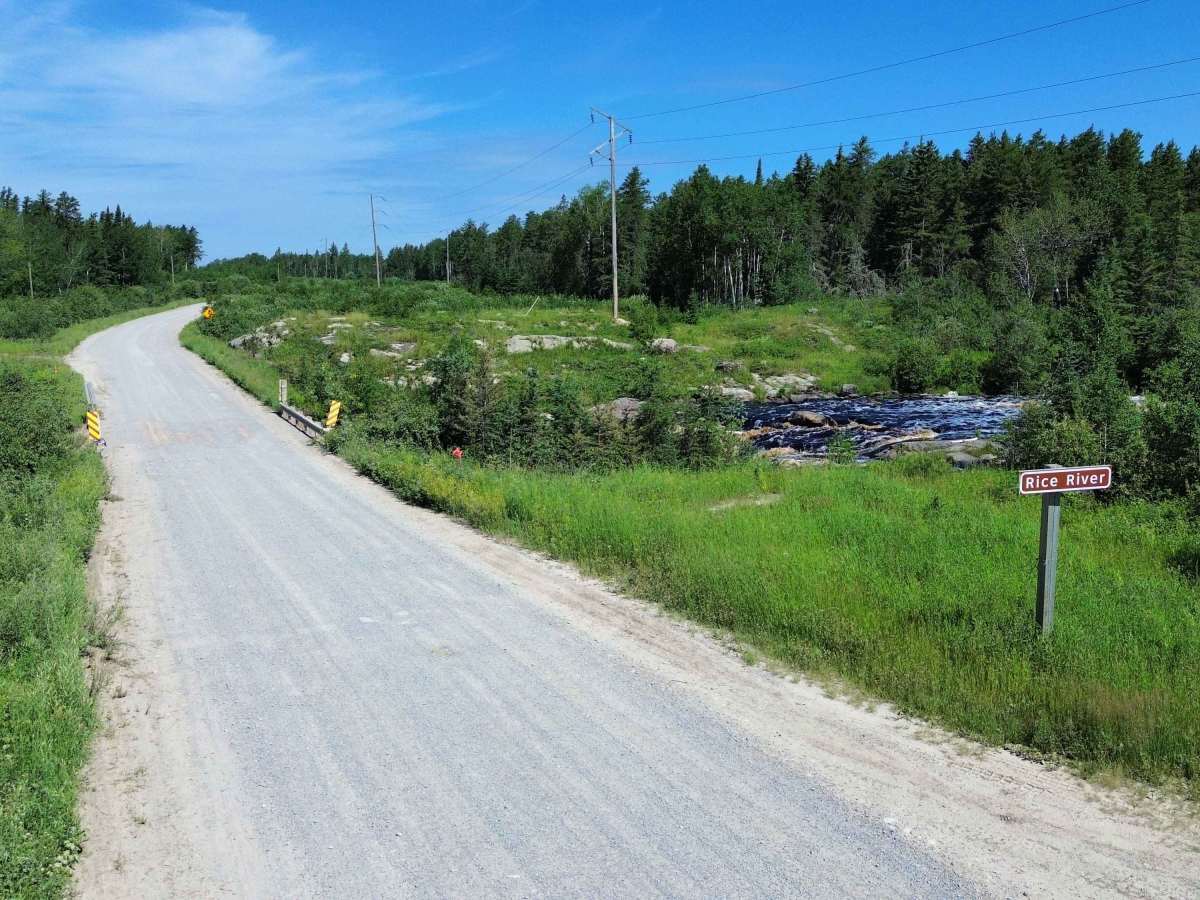
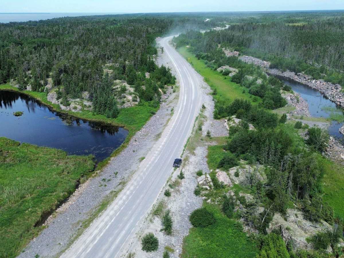
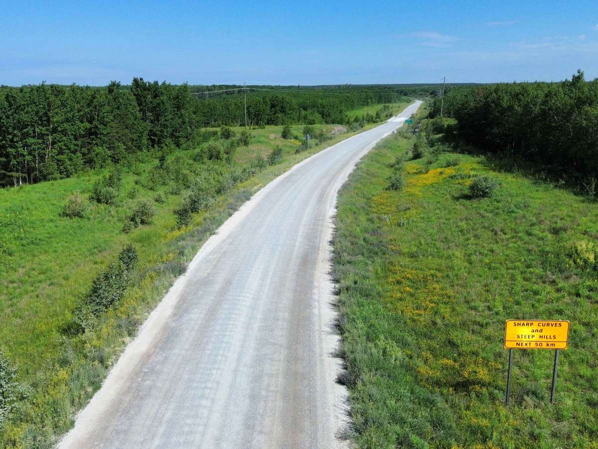
Rice River Road is a remote all-season gravel route running north from PR- 304 near Manigotagan toward Bloodvein First Nation. The road travels through boreal forest, wetlands, and exposed Canadian Shield terrain, forming the southern portion of the all-season road system connecting Manitoba’s east-side communities.
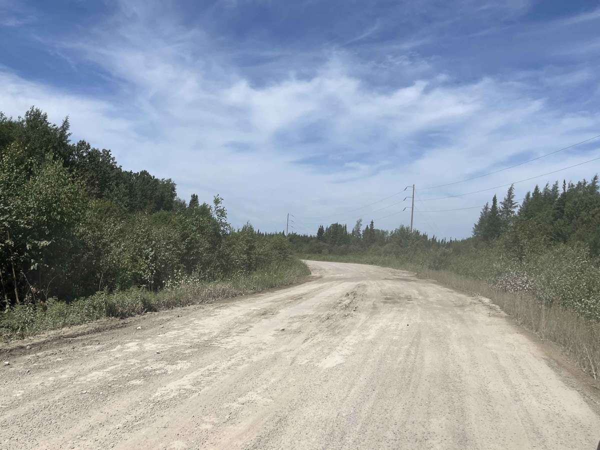
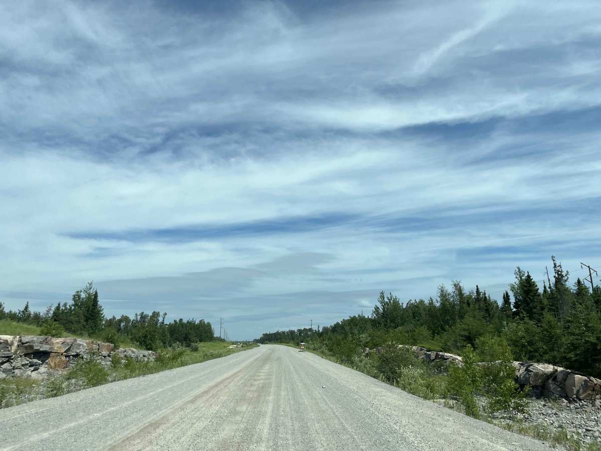
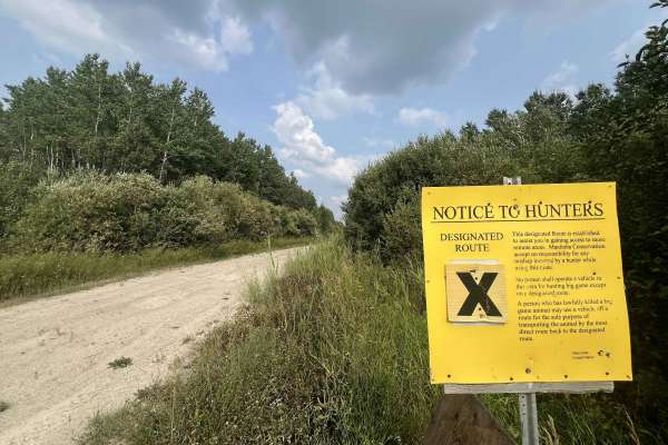
This is a maintained community-access road rather than a technical four-wheel-drive trail. In good conditions, it is suitable for most reliable vehicles, although an SUV or truck is preferable. Drivers should expect loose gravel, dust, washboard, potholes, scattered rocks, and soft shoulders. Heavy rain, spring breakup and periods between grading may create rough or muddy sections. Watch for community traffic, commercial trucks, maintenance equipment and wildlife.
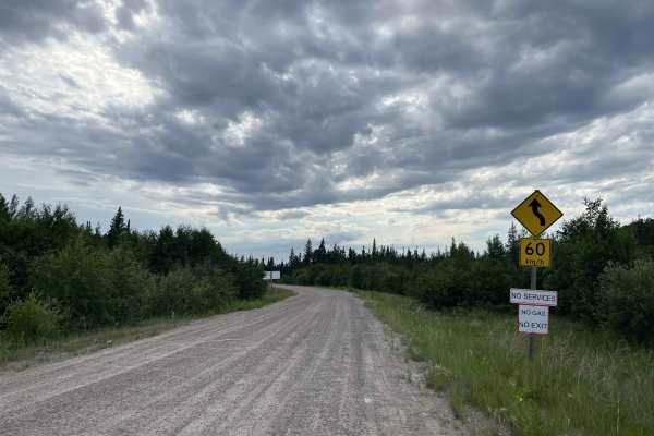
The main challenge is remoteness rather than difficult obstacles. Roadside services are extremely limited, and cellular coverage should not be relied upon. It is not uncommon for the gas station to have no fuel. Carry adequate fuel, food, water, offline maps, a spare tire or repair kit, and basic recovery equipment. Slow down around blind corners and bridge approaches, and avoid pulling onto soft shoulders.
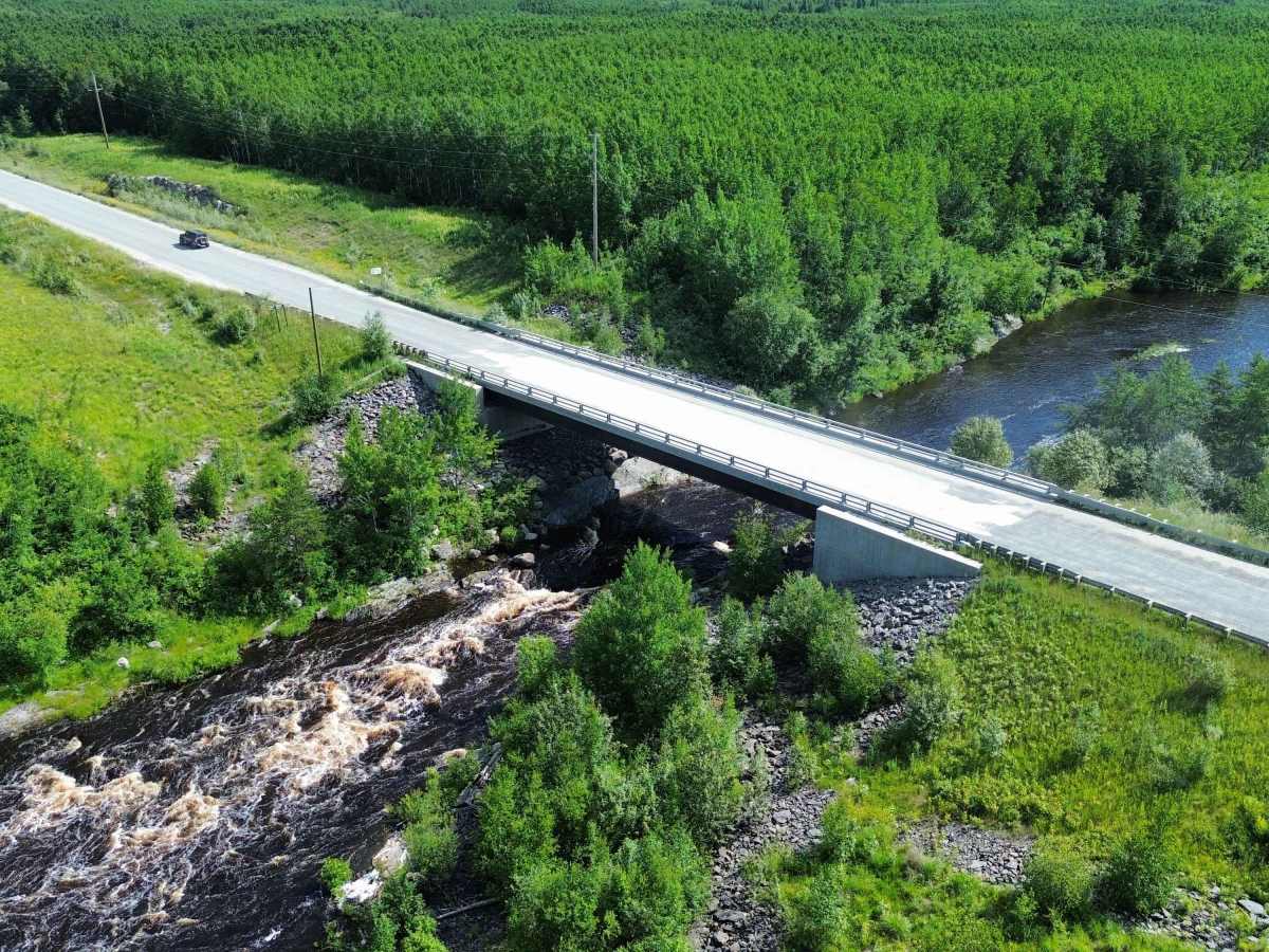
Rice River Road provides access to the Loon Straits junction and continues toward the Bloodvein River and Bloodvein First Nation. Visitors should remain on public roads, respect community and traditional lands, and confirm current road and access conditions before travelling. The route was upgraded and extended from an older seasonal road to provide Bloodvein with year-round connection to Manitoba’s highway network.
A contentious community-operated checkpoint is currently located on Rice River Road near Bloodvein. Travellers may be stopped, questioned about their destination and purpose of travel, and asked to comply with checkpoint procedures. Expect possible delays, be respectful, and do not attempt to bypass the checkpoint. The intent is to stop drugs/alcohol and limit non-indigenous hunting/fishing.
History
Rice River Road began as a seasonal resource and winter-road corridor serving communities on the east side of Lake Winnipeg. Manitoba later upgraded and realigned portions of the route as part of the East Side Road project, adding improved drainage, gravel surfacing and permanent bridge crossings. Completion of the Bloodvein River Bridge in 2014 gave Bloodvein First Nation its first year-round road connection to Manitoba’s provincial highway network. Today, Rice River Road forms the southern section of the all-season route leading north toward Bloodvein and Berens River.

 Offroad