Trail Overview
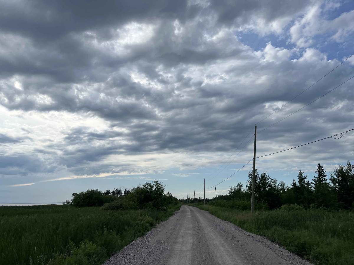
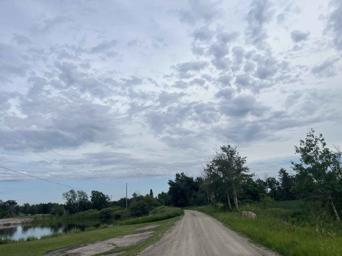
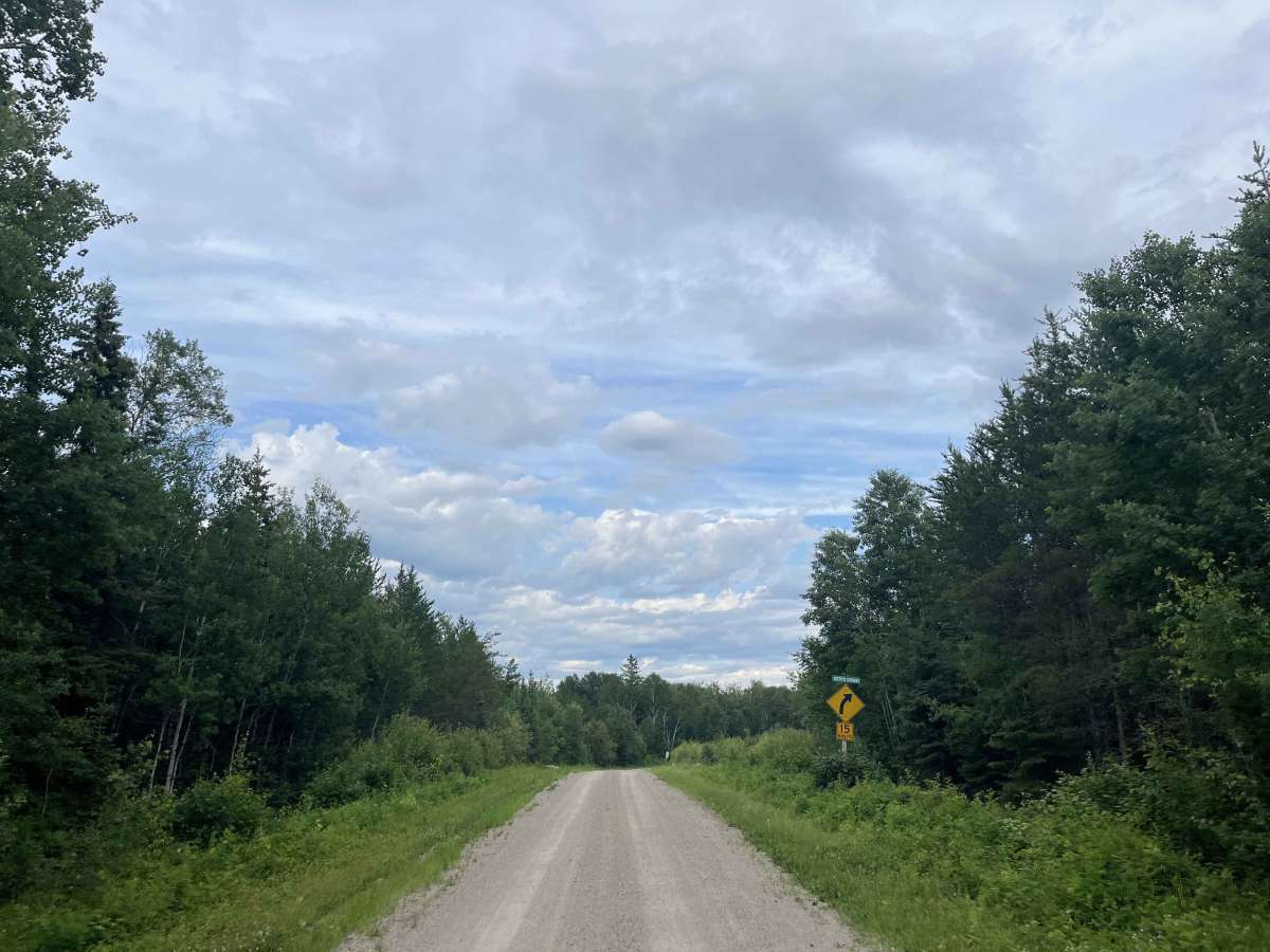
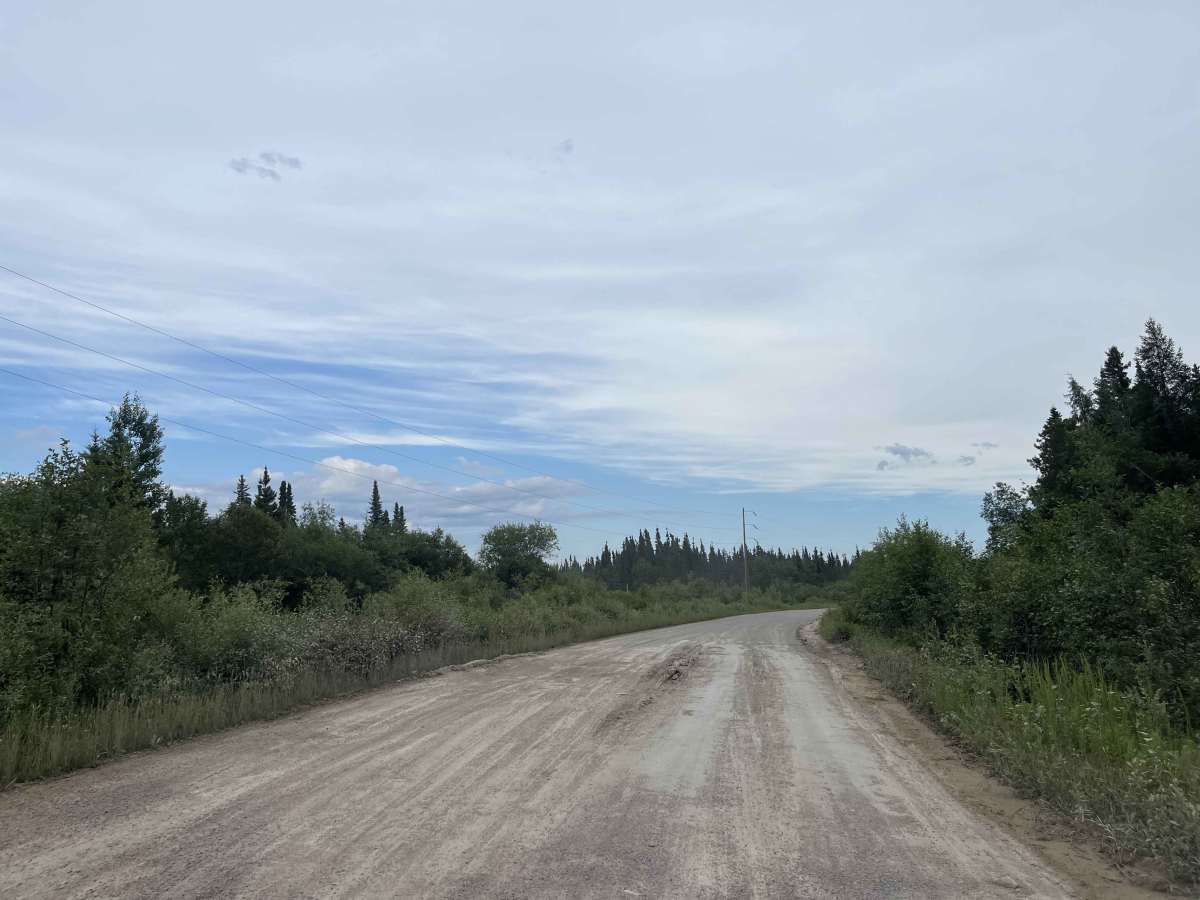
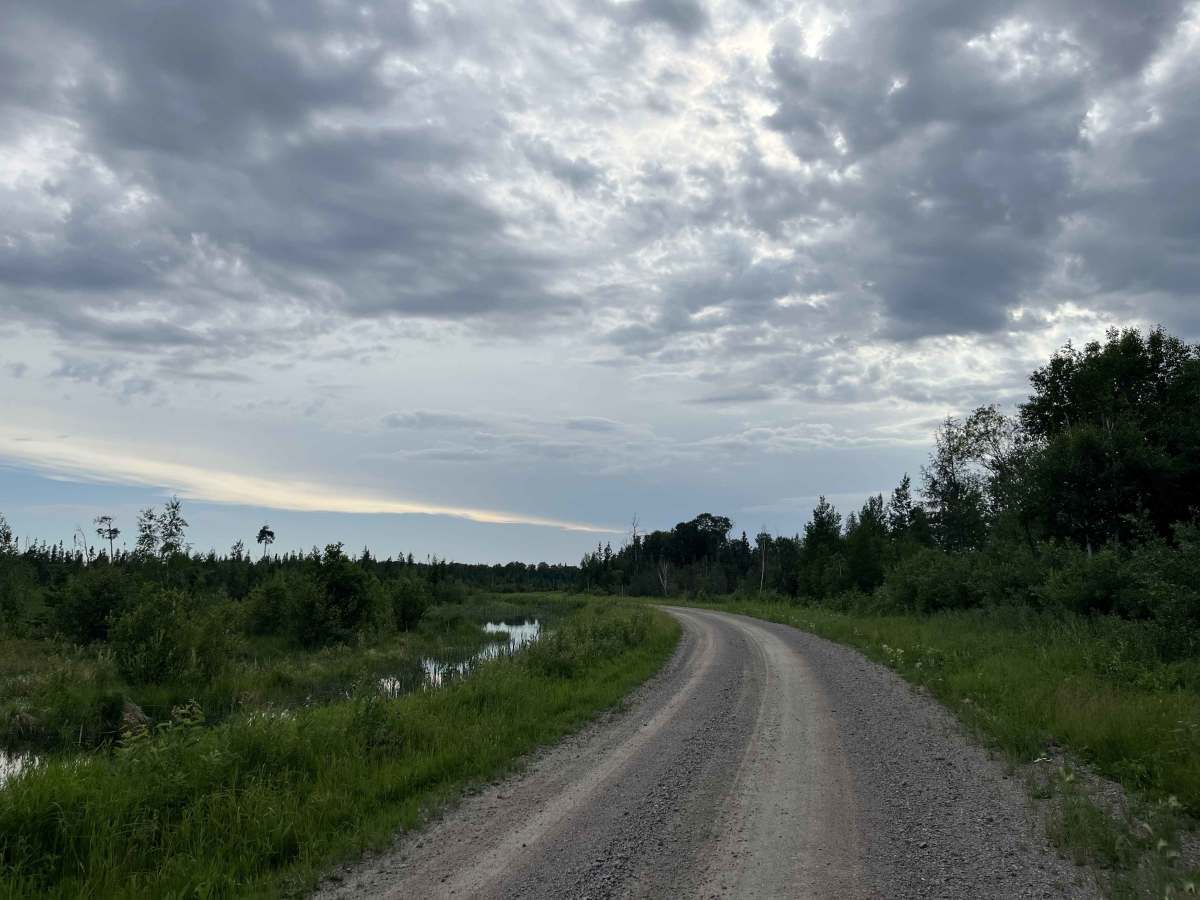
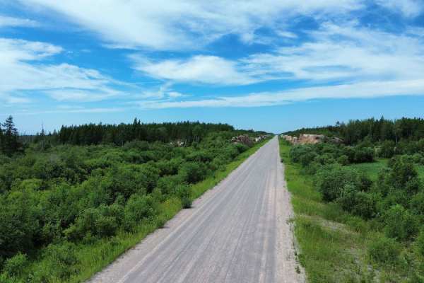
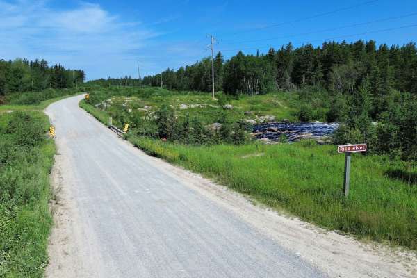
The Loon Straits Access Road is an all-season gravel route branching west from Rice River Road and continuing to the remote lakeside community of Loon Straits on the eastern shore of Lake Winnipeg. The drive passes through boreal forest, wetlands and exposed Canadian Shield terrain before reaching the settlement and shoreline.
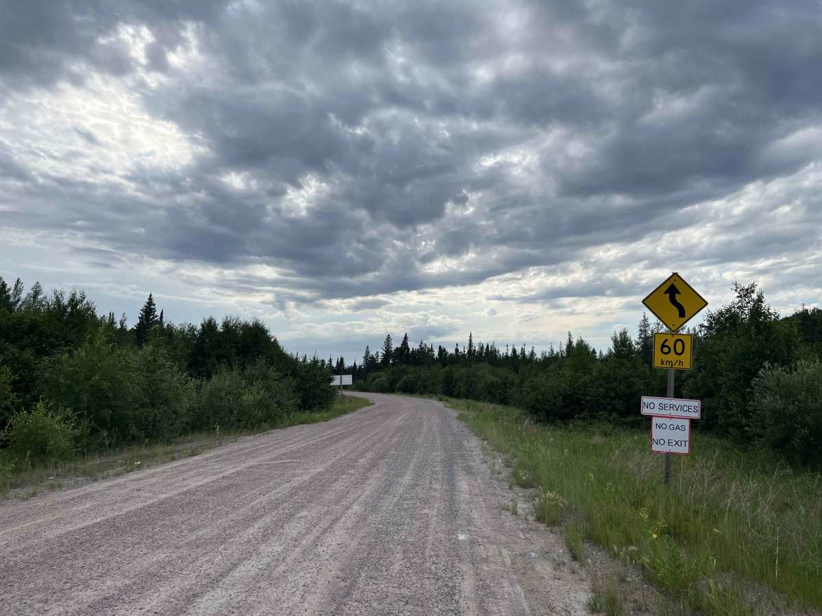
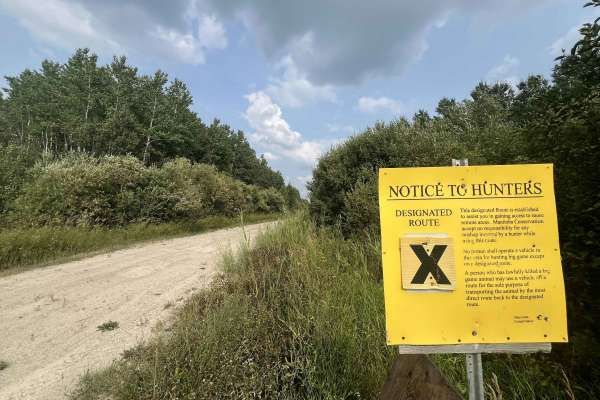
This is a community access road rather than a technical four-wheel-drive trail. In dry conditions, the route is generally suitable for most reliable vehicles. Expect loose gravel, washboard, potholes, soft shoulders and occasional muddy sections after heavy rain or during spring breakup. Maintenance levels can vary, and brush may grow close to the roadway in places.
The primary challenge is remoteness. There are no dependable fuel, repair or roadside services along the route, and cellular coverage may be limited or unavailable. Carry sufficient fuel, food, water, a spare tire or repair kit, offline maps and basic recovery equipment. Drivers should slow down for blind corners, oncoming traffic, wildlife and changing road conditions.
Visitors should remain on public roads, respect private property and community lands, and avoid disturbing cultural or traditional-use areas
History
Loon Straits was established in 1896 by Andrew Monkman, who is remembered locally as the settlement’s founding father, pioneer, fisherman and entrepreneur. Together with his families, he helped establish a permanent community along the eastern shore of Lake Winnipeg.
Generations of Monkman’s descendants continued living and working at Loon Straits, preserving its fishing heritage and pioneer character. Today, the all-season Loon Straits Access Road connects the historic lakeside settlement with Rice River Road and Manitoba’s broader road network.

 Offroad