Trail Overview
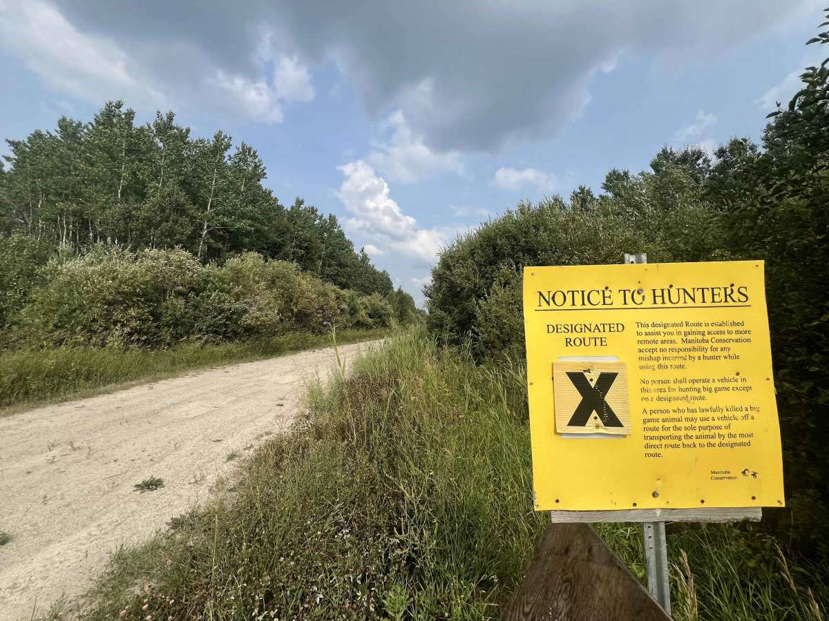
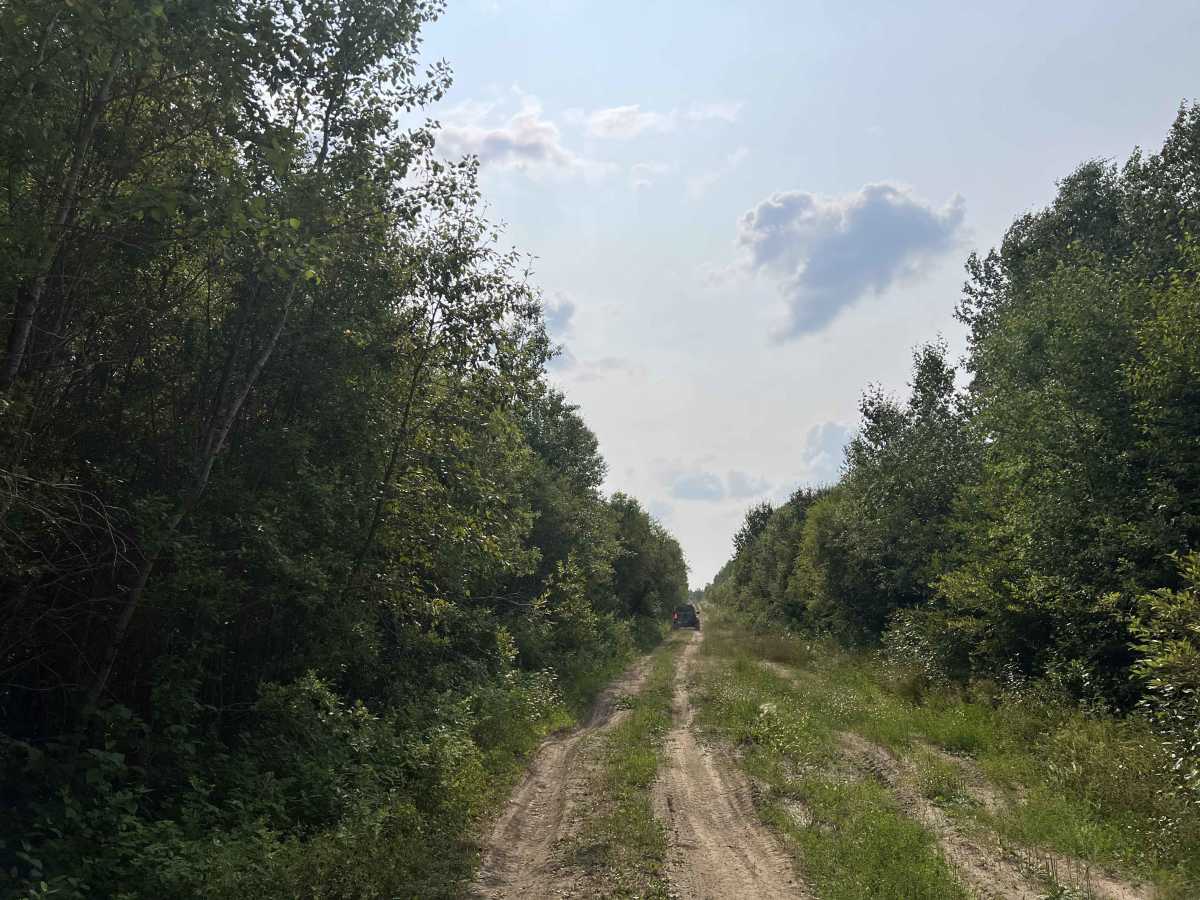
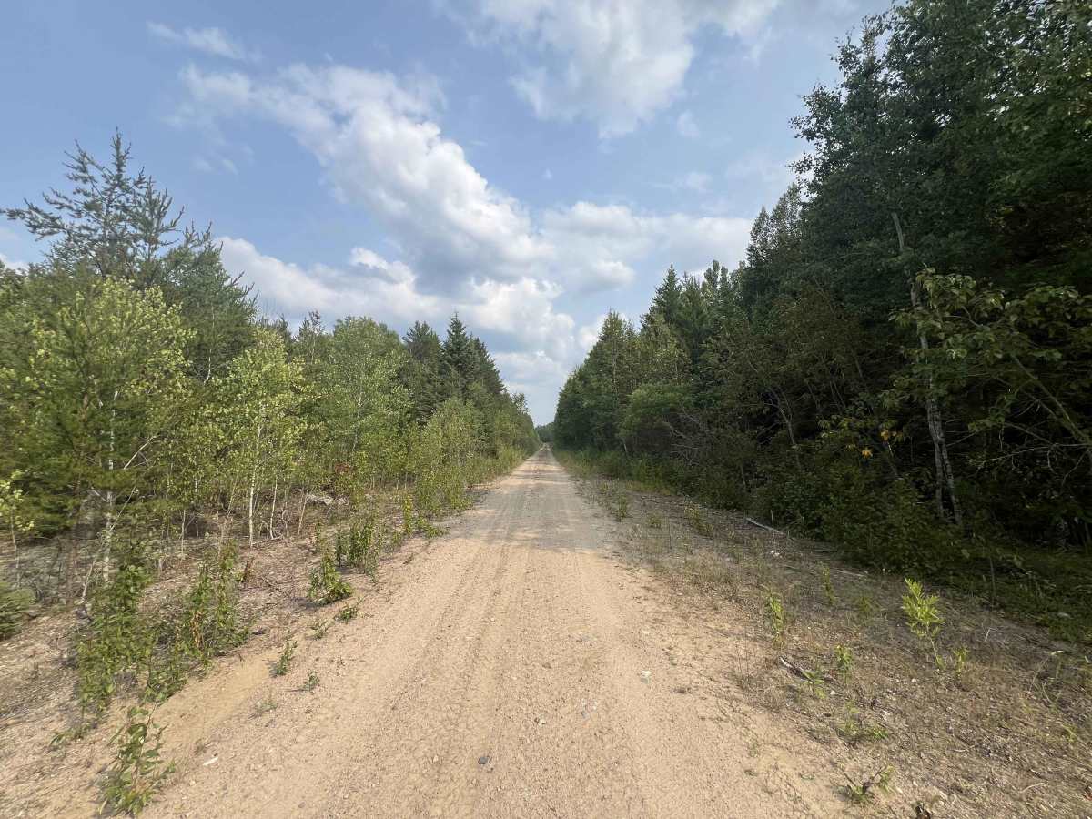
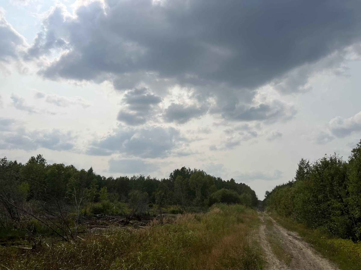
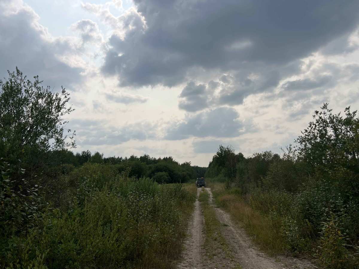
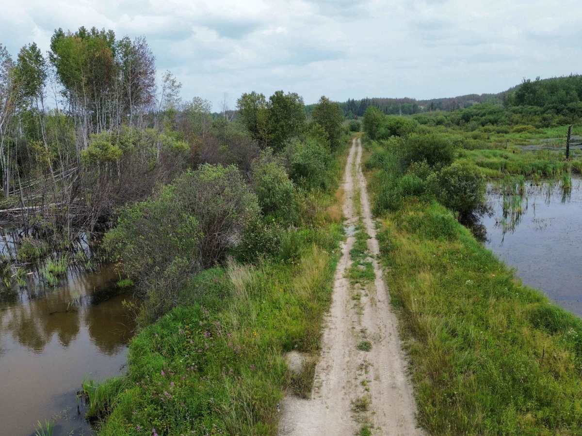
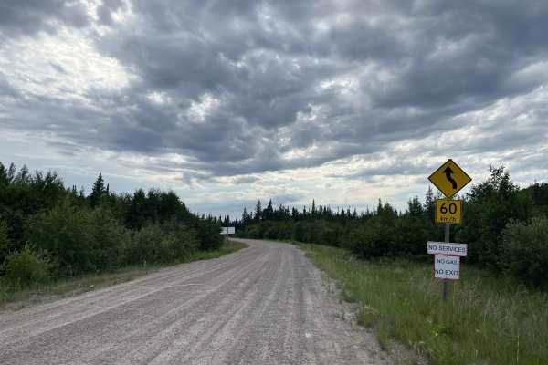
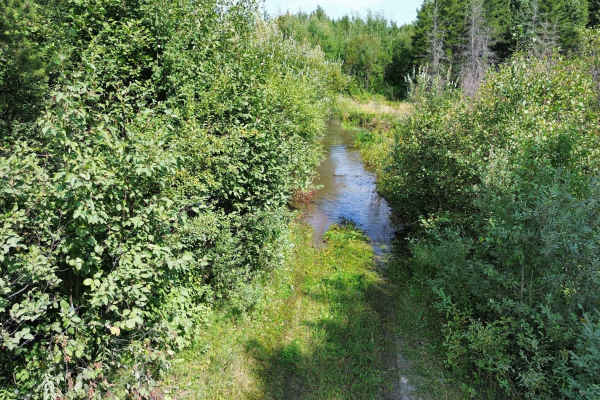
Beaver Creek Road is a remote former forestry road extending into the boreal wilderness northeast of Manigotagan and Hollow Water. Originally developed for timber harvesting and resource access, the route now varies greatly in condition, with sections that may be overgrown or washed out. The road passes through the Chief George Barker Wildlife Refuge, established to protect wildlife along newly opened forestry-access corridors. Hunting and loaded-firearm restrictions apply within the refuge. The trail officially ends at a fork in the road, where it then branches off to two creek crossings where the logging bridges have been removed.
Expect a narrow gravel and dirt road with loose rock, mud, standing water, encroaching vegetation, and limited opportunities to turn around. Conditions can change quickly after rain or spring runoff.
This is isolated backcountry with little or no cellular service and potentially long distances from assistance.
History
Originally developed as a forestry and resource-access route in the boreal forest. It formed part of the former Pine Falls timber operating area and was used to reach logging areas, manage forests, and support industrial activity.
As forestry operations changed, portions of the road were gated, decommissioned, or interrupted by bridge and culvert removals. Some closures were introduced to reduce motorized access and protect local wildlife.
The road is closely associated with the Chief George Barker Wildlife Refuge, established in 1986 in honour of the longtime Hollow Water chief, trapper, and conservation advocate. The refuge created a protected corridor along Beaver Creek Road and nearby resource roads after new forestry access began opening previously remote hunting areas.

 Offroad