Trail Overview
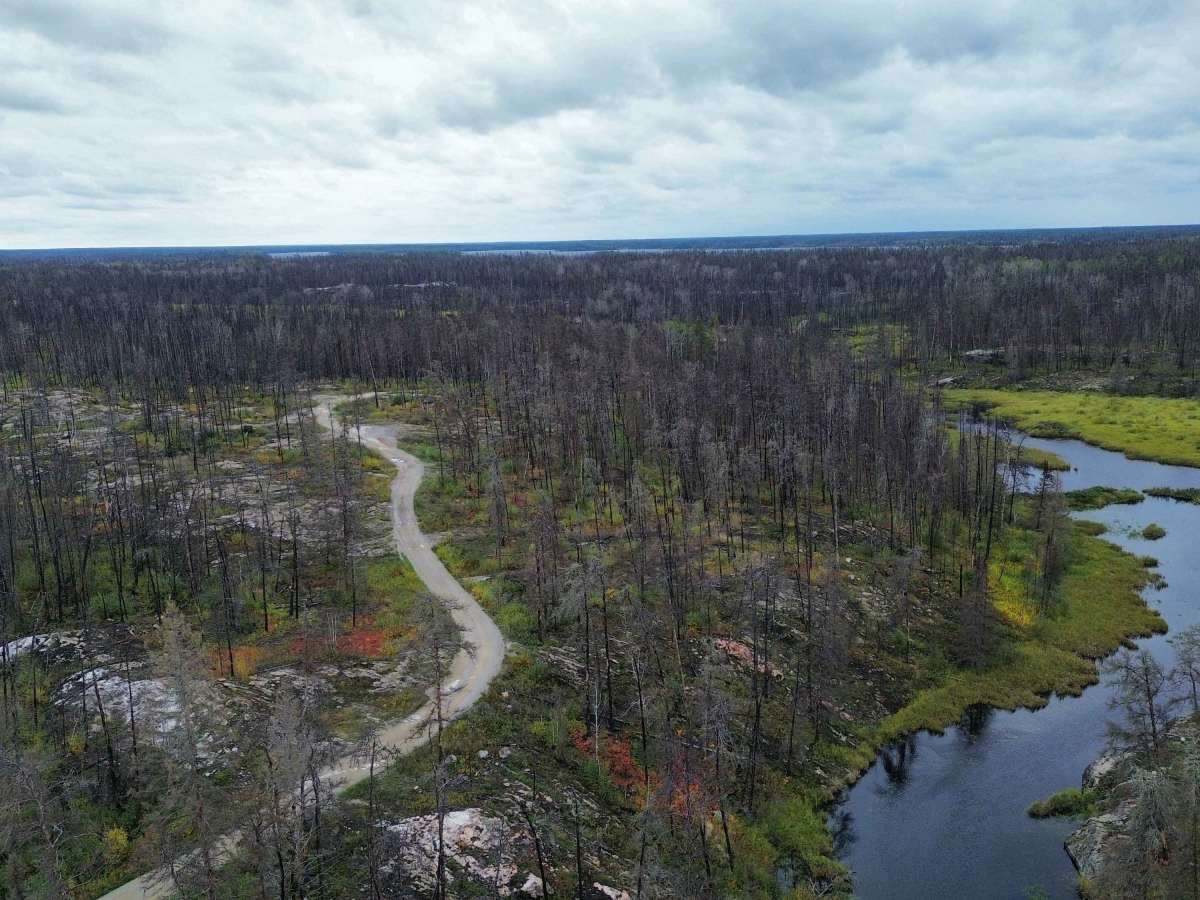
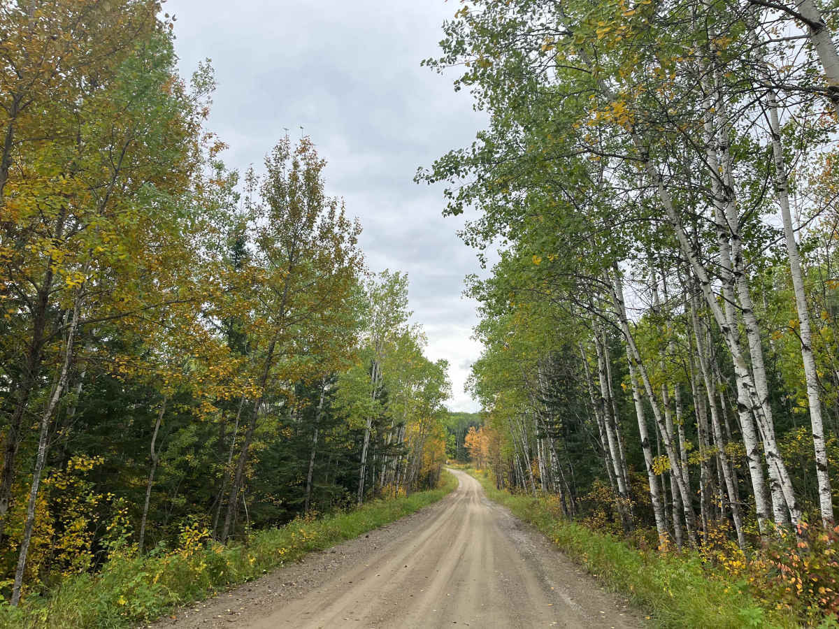
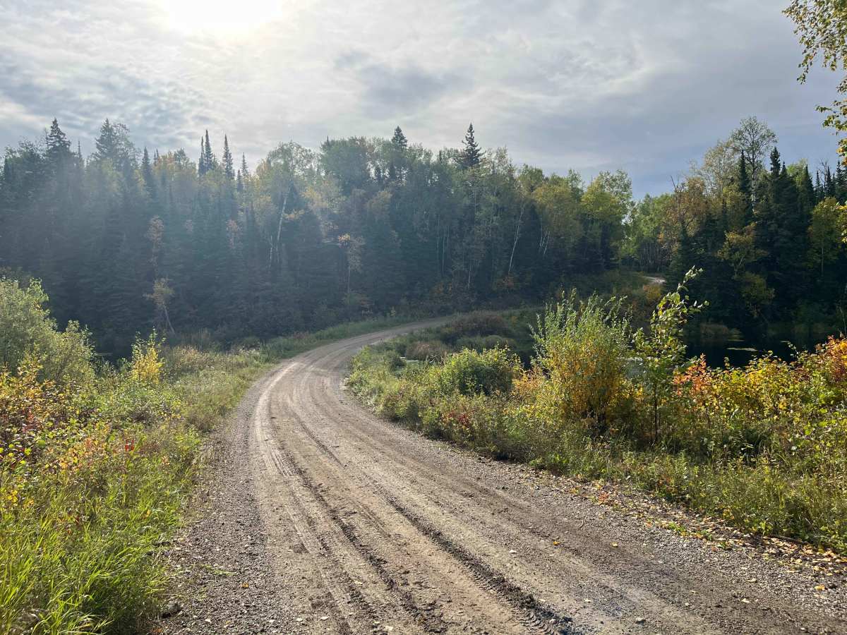
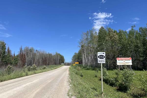
Quesnel Lake Road is a scenic backcountry gravel road running from PR 304 near Bissett south to Caribou Landing on Quesnel Lake. The route winds through classic Canadian Shield country with exposed bedrock, small lakes, wetlands, boreal forest, and extensive areas burned during the 2025 wildfires.
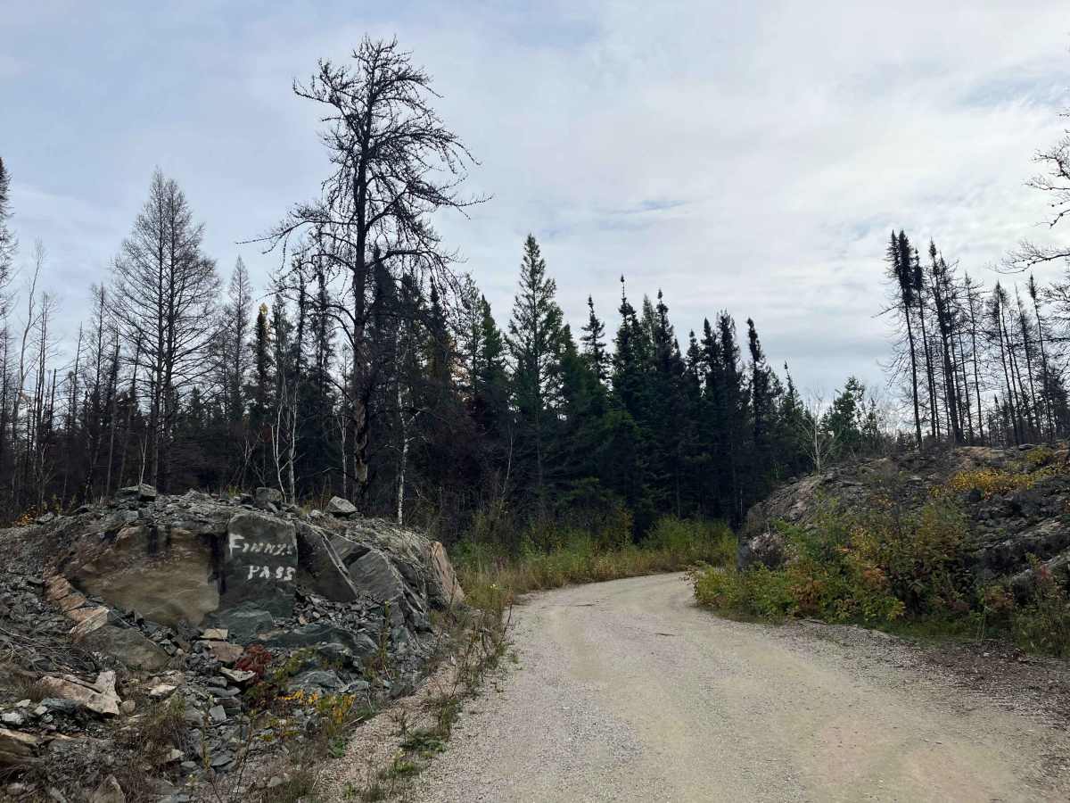
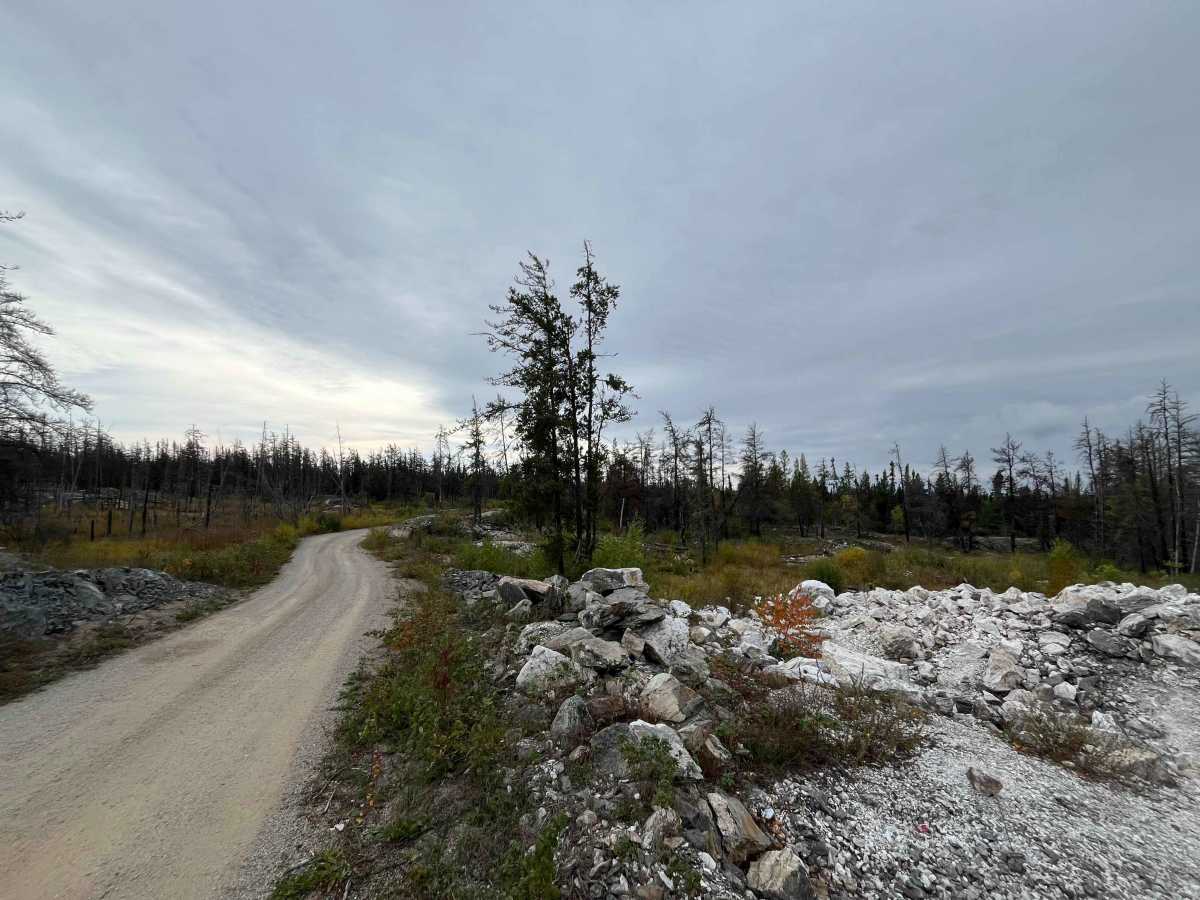
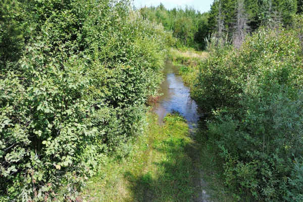
The road is generally firm and well graded but is narrow for much of its length, with numerous blind curves, soft shoulders and places where two full-size vehicles cannot comfortably pass. Expect occasional washboard, loose stone, potholes and rougher sections, but there are no significant ledges, deep ruts or technical obstacles under normal dry conditions. Several culverts and low wetland crossings carry the road across creeks and drainage areas.
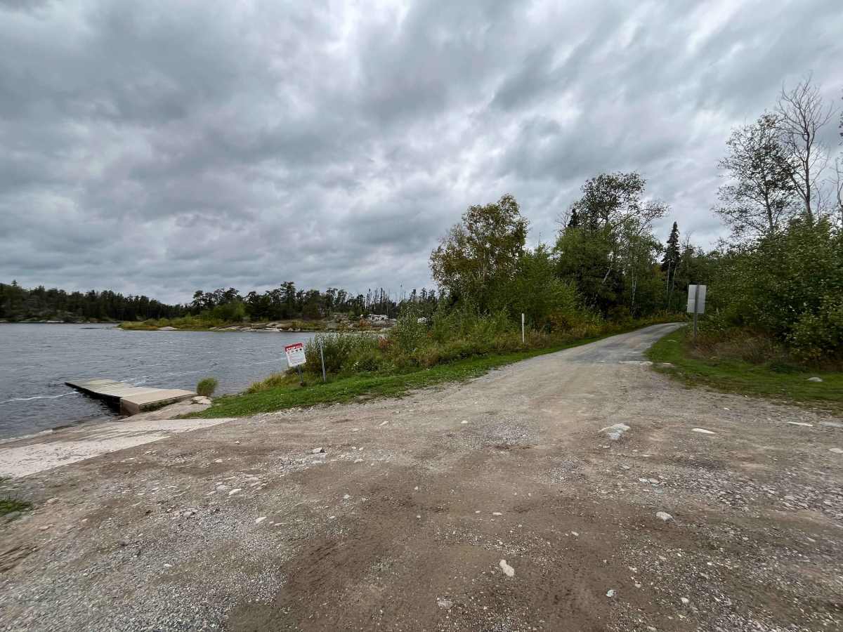
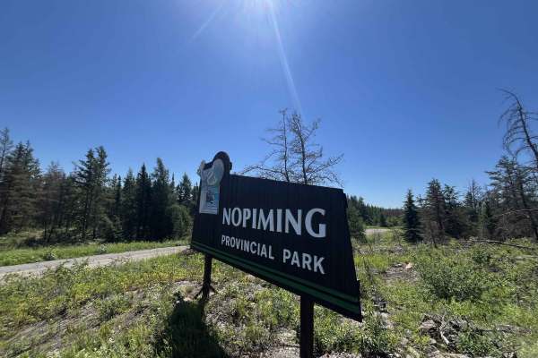
The southern portion enters the Quesnel Lake/Nopiming backcountry and ends at historic Caribou Landing, an access point to Quesnel Lake and the Manigotagan River wilderness route.
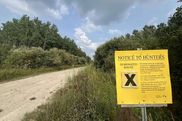
A park pass may be required to enter the Provincial Park.
The drive is more about scenery, remoteness and history than challenging four-wheel-drive terrain. Recent wildfire damage gives much of the route a striking landscape of standing burned timber, exposed rock and regenerating forest.
Watch for oncoming vehicles, sharp rocks, soft shoulders and fire-damaged trees, particularly during high winds.
Difficulty
Generally a well-graded, narrow gravel road with no major technical obstacles in dry conditions. Expect loose gravel, potholes, washboard, soft shoulders, blind corners, and occasional rough or rocky sections; conditions may deteriorate after heavy rain or during spring breakup. Some sections are over bedrock. Spring water may flood over the road.
History
Quesnel Lake Road has roots in the early transportation system that opened the Bissett gold district. Work on the historic Caribou Road began as early as 1922, originally as little more than a trail linking mineral claims. It eventually formed part of a 29 km freight route between Government Landing on the Wanipigow River and Caribou Landing. Horse-drawn wagons and later trucks carried mining equipment and supplies to Caribou Landing, where freight was transferred back to boats for travel across Quesnel Lake toward Manigotagan Lake, Long Lake, and the early gold mines. The modern road is still referred to in Manitoba geological literature as the Quesnel or Caribou Lake Road.