Trail Overview
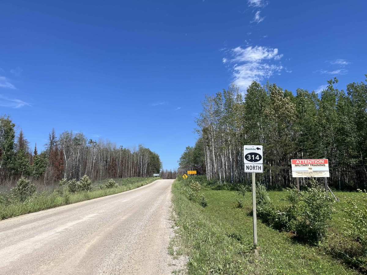
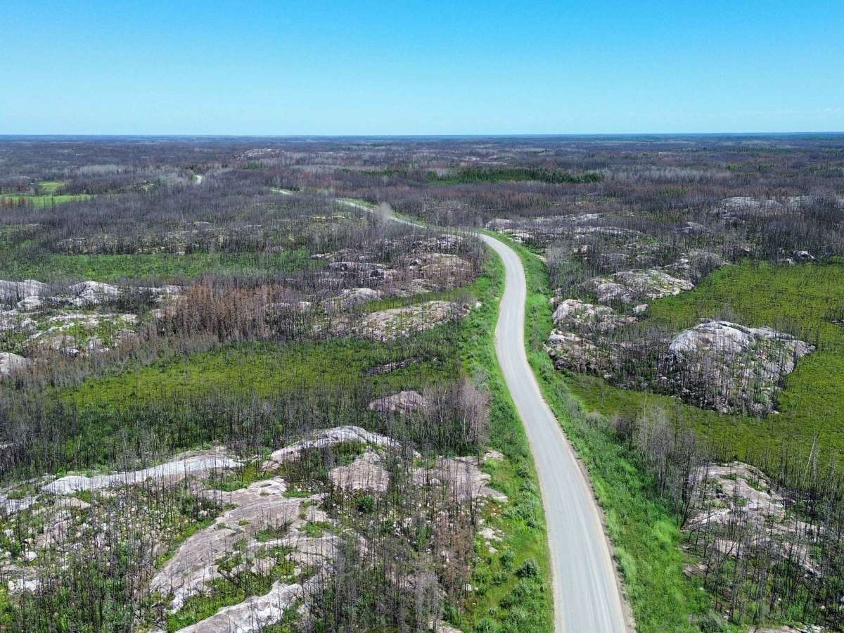
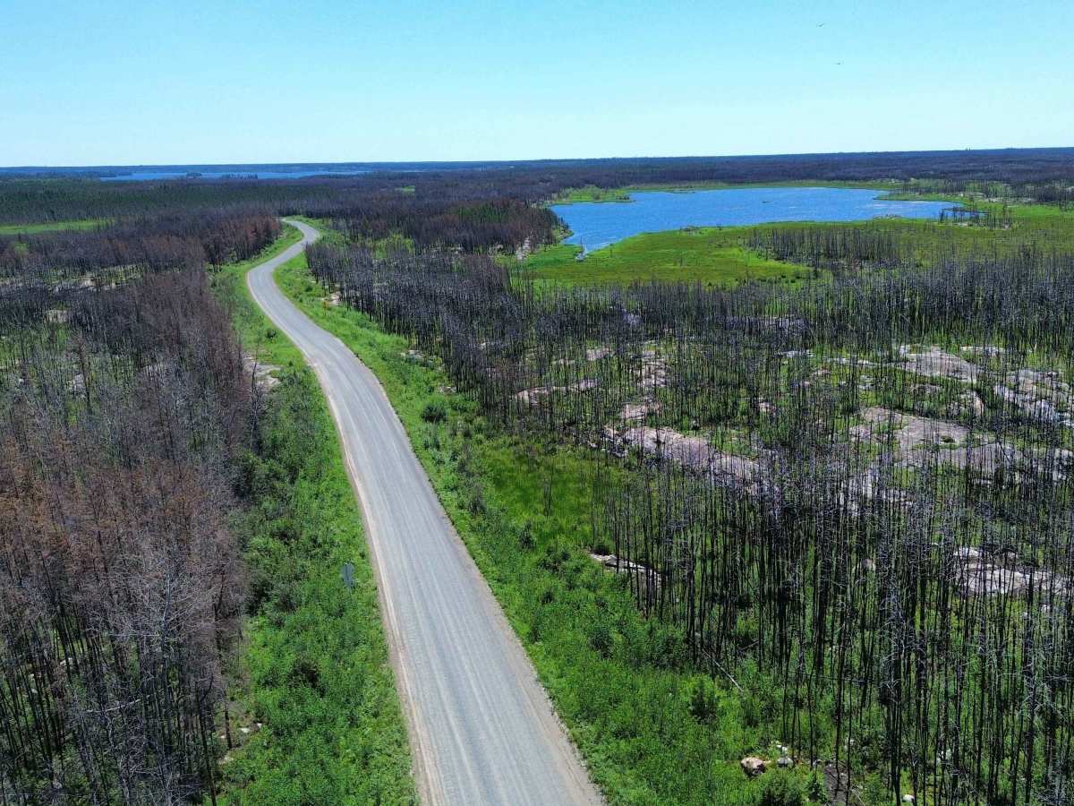
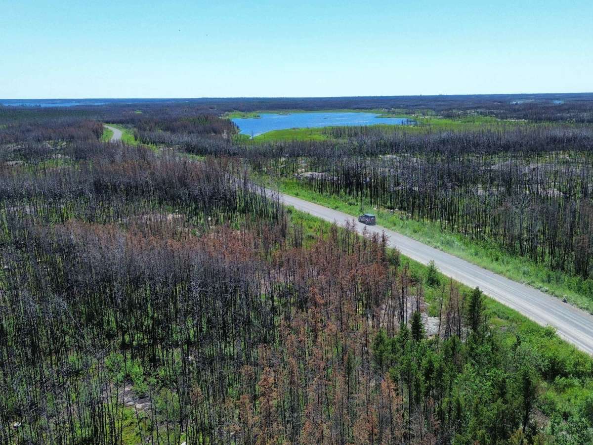
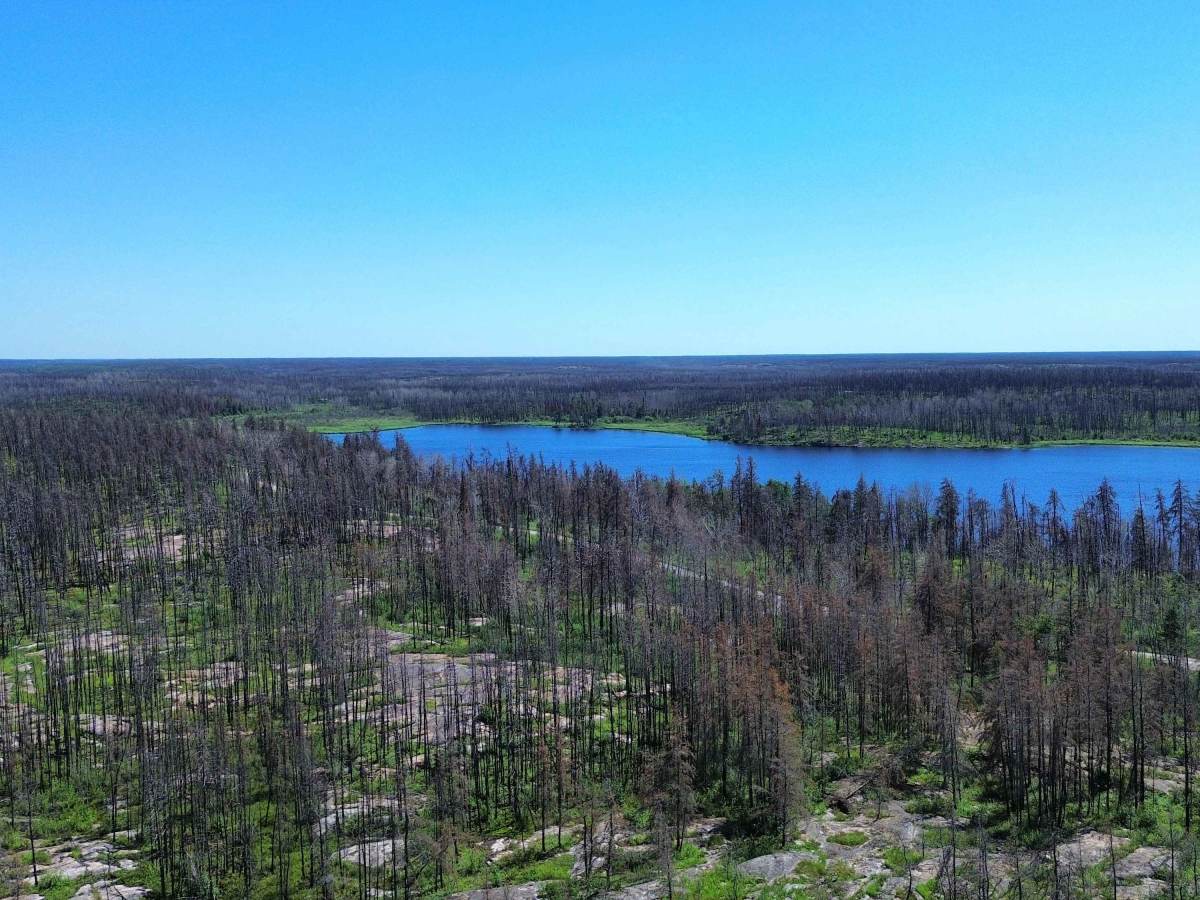
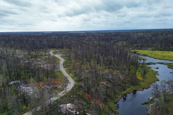
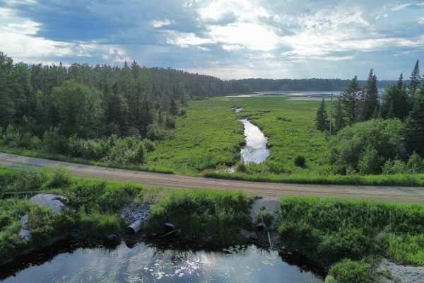
PR 314 is a remote, maintained gravel road running north through the heart of Nopiming Provincial Park. The route winds through rugged Canadian Shield terrain, passing exposed granite, boreal forest, wetlands, rivers, and numerous lakes. Along the way, it provides access to Black Lake, Tooth Lake, Beresford Lake, hiking trails, campgrounds, boat launches, historic mining areas, and the northern junction with PR 304 near Long Lake.
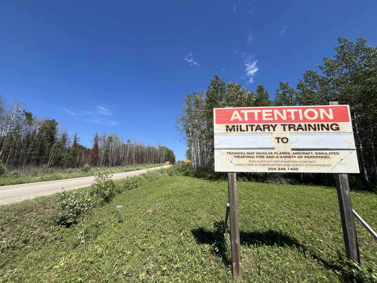
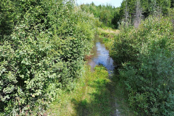
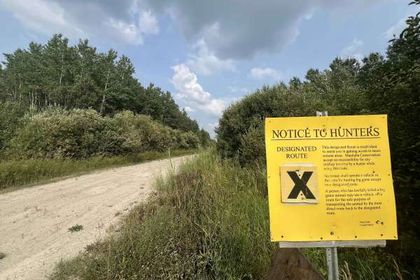
This is not a technical off-road trail, but conditions can vary considerably. Expect loose gravel, dust, washboard, potholes, narrow shoulders, blind curves, and occasional soft or damaged sections after heavy rain. Wildlife, logging traffic, maintenance equipment, and vehicles towing boats or campers may also be encountered.
Most stock SUVs and trucks should be capable of traveling PR 314 in normal dry conditions. Carry sufficient fuel, water, a full-size spare, tire-repair equipment, and offline maps. Cell coverage is limited to the south end of the park. Slow down for changing road conditions and be prepared for a long, isolated wilderness drive. Park pass required for Nopiming Provincial Park.
History
PR 314 follows a historic transportation corridor through the mining country that later became Nopiming Provincial Park. Before dependable roads reached the area, Indigenous travellers, trappers, prospectors, and mine workers moved between the region’s lakes using waterways, portages, winter roads, and rough supply trails. Gold discoveries during the early 1900s led to mines and settlements around Long Lake, Wadhope, Beresford Lake, and nearby districts, increasing the need for permanent overland access.
The road was gradually developed to support mining, forestry, local travel, and recreation. When Nopiming Provincial Park was established in 1976, the remaining connection between PR 314 and PR 304 was completed, creating the continuous north–south route used today. PR 314 now serves as the park’s main gravel corridor, linking its lakes, campgrounds, former mining areas, and remote northern communities.

 Offroad