Trail Overview
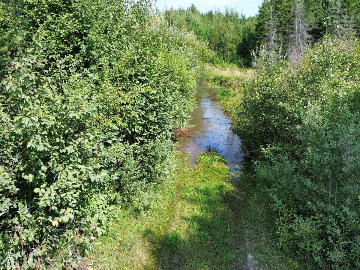
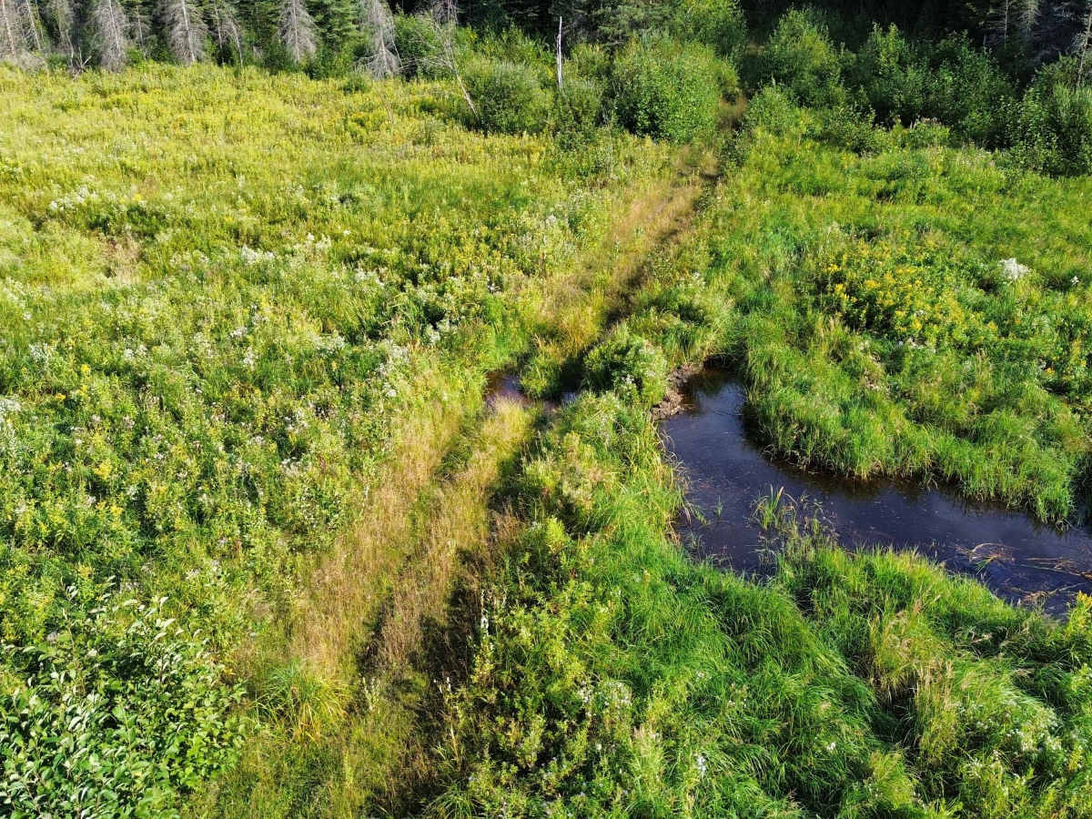
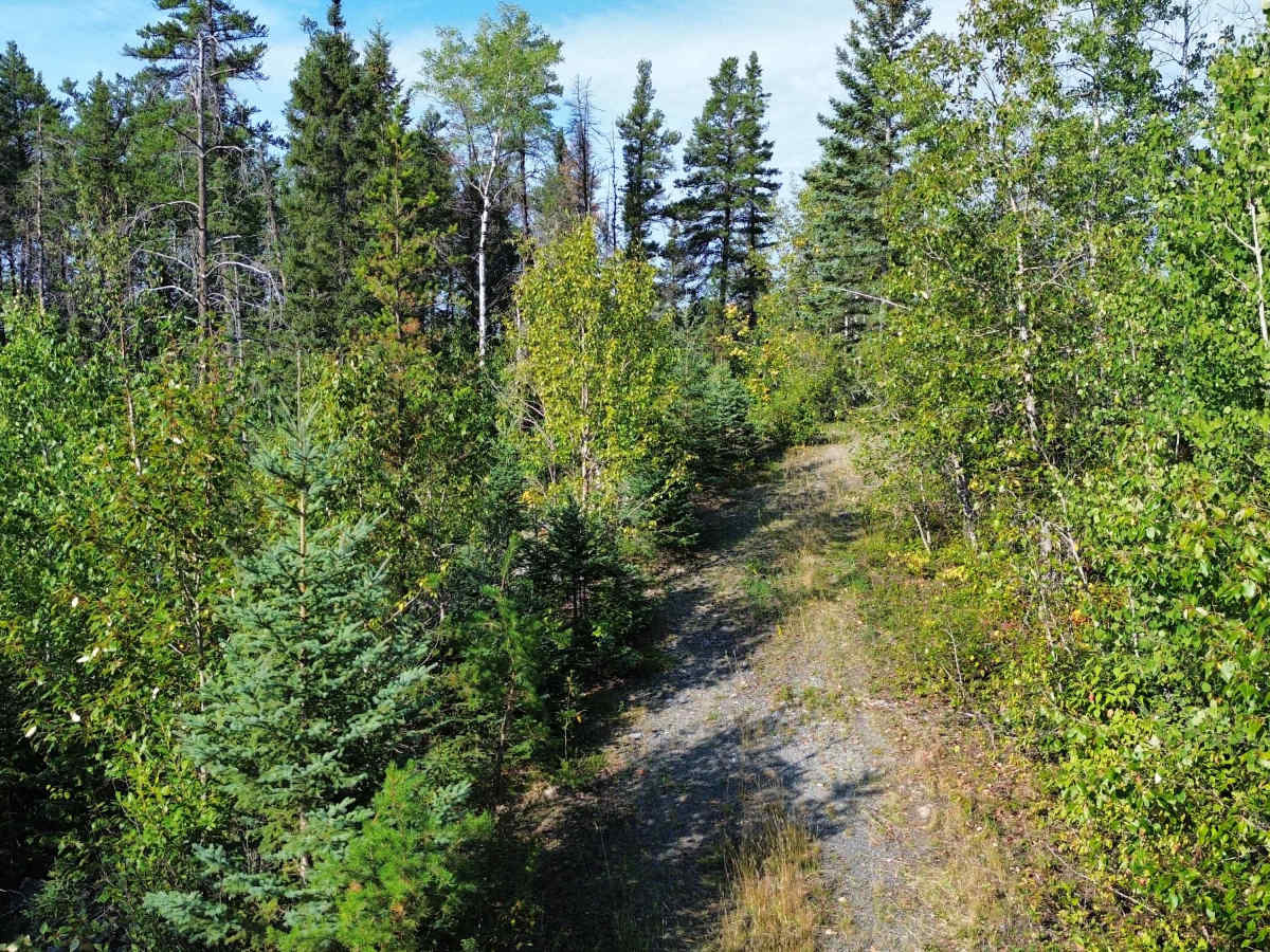
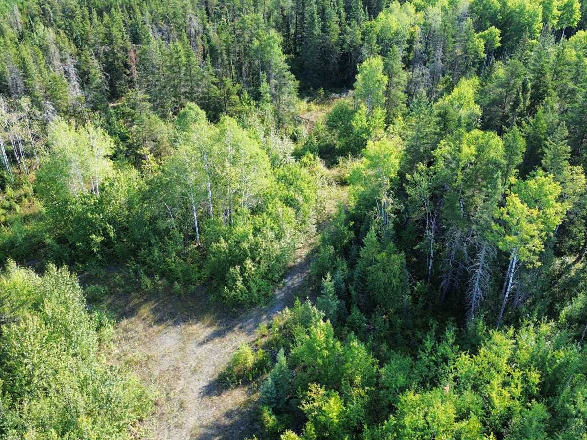
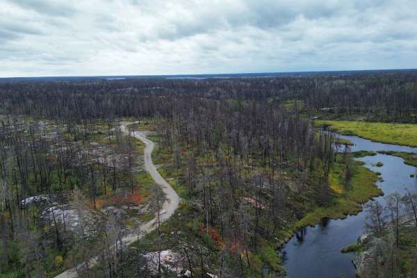
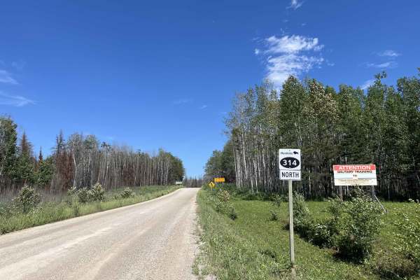
Jeep Mine Road is a short historic mining road running from Provincial Road 304 to the abandoned Jeep Gold Mine. Most of the route is an easy, narrow gravel-and-dirt two-track through boreal forest, exposed Canadian Shield, and wetland terrain, but a substantial flooded section near the southern entrance dramatically increases the difficulty. The trail is overgrown and tight brush.
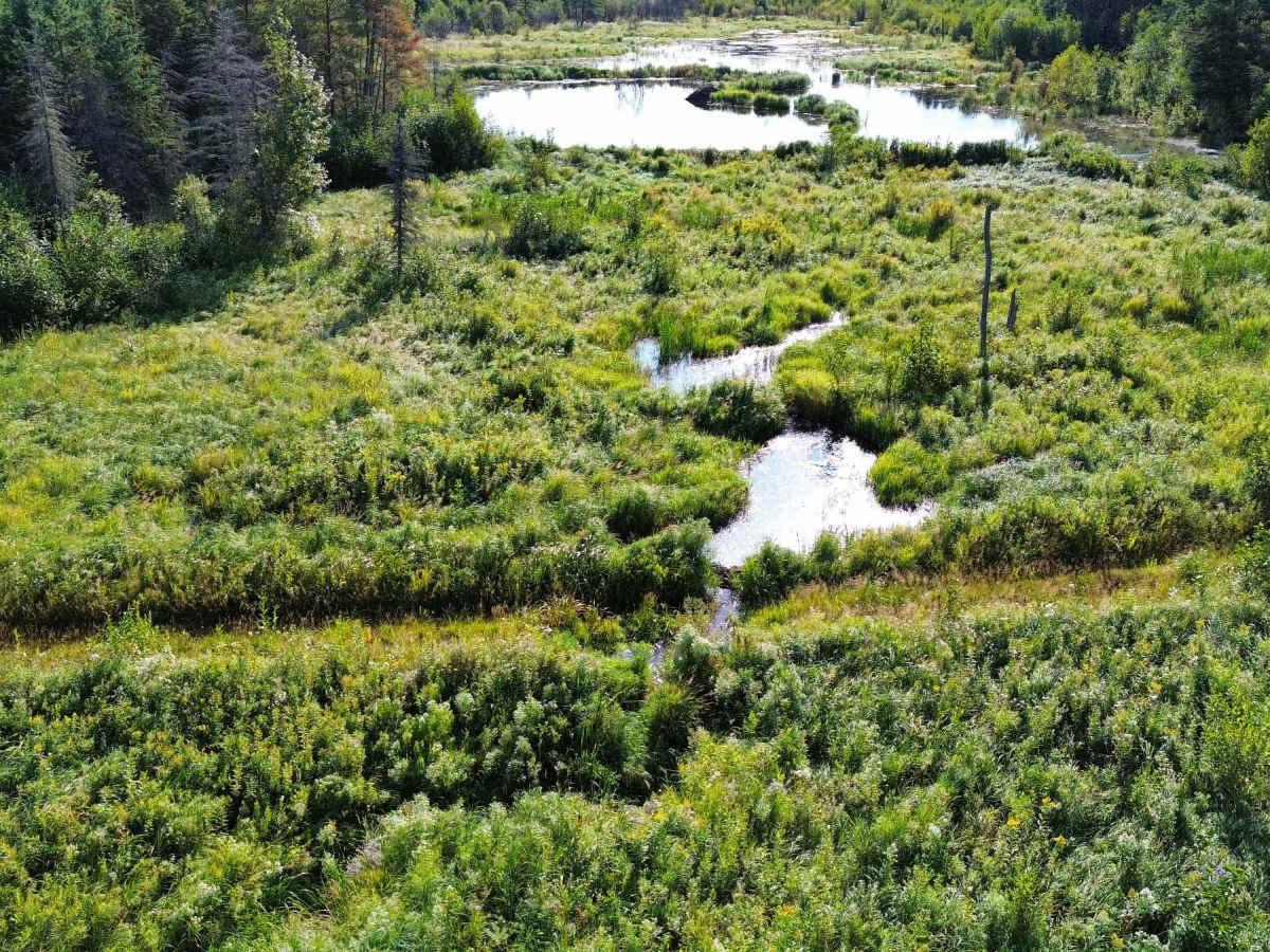
Water depth was +/-25" during a September 2026 visit. Water depth can vary significantly with rainfall and beaver activity. High-clearance 4x4 recommended. Check water depth before entering and do not assume conditions match previous visits.
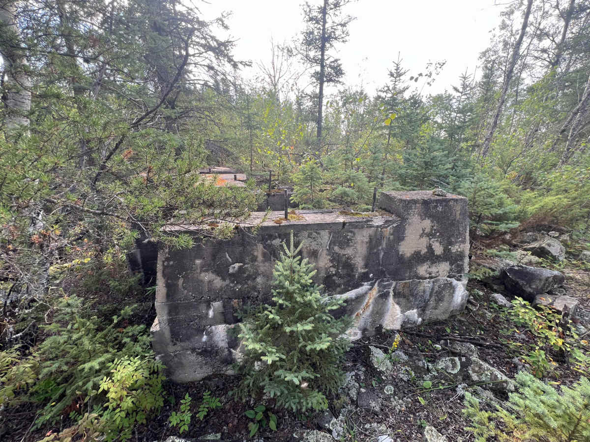
Beyond the flooded section, the road is generally firm and relatively easy, although vegetation is encroaching and sections are only one vehicle wide. Near the north end are remnants of the historic Jeep Gold Mine, including concrete foundations, disturbed rock and former mine workings.
This route leads to an abandoned mine site. Conditions, access, and remaining mine features may change as mineral exploration may start up again. Do not enter mine workings or disturb remediation structures.
Further north, the trail is overgrown and not passable.
History
Jeep Mine Road is the historic access route to the former Jeep Gold Mine. Development of the property began in 1947, with commercial gold production running from 1948 to 1950. Ore from Jeep was hauled away for processing at the San Antonio mill near Bissett rather than milled at the mine site. During its short operating life, Jeep produced approximately 16,300 tonnes of ore yielding nearly 13,900 ounces of gold.
The road continued to provide access during later exploration programs in the 1950s, 1970s and early 1980s. Manitoba geological publications subsequently referred to the route specifically as the “Jeep Mine road” and documented beaver flooding along its southern end, noting that the first approximately 100 metres could become water-covered. Today the increasingly overgrown road remains a visible remnant of Manitoba’s mid-20th-century Rice Lake–Bissett gold-mining era.

 Offroad