Trail Overview
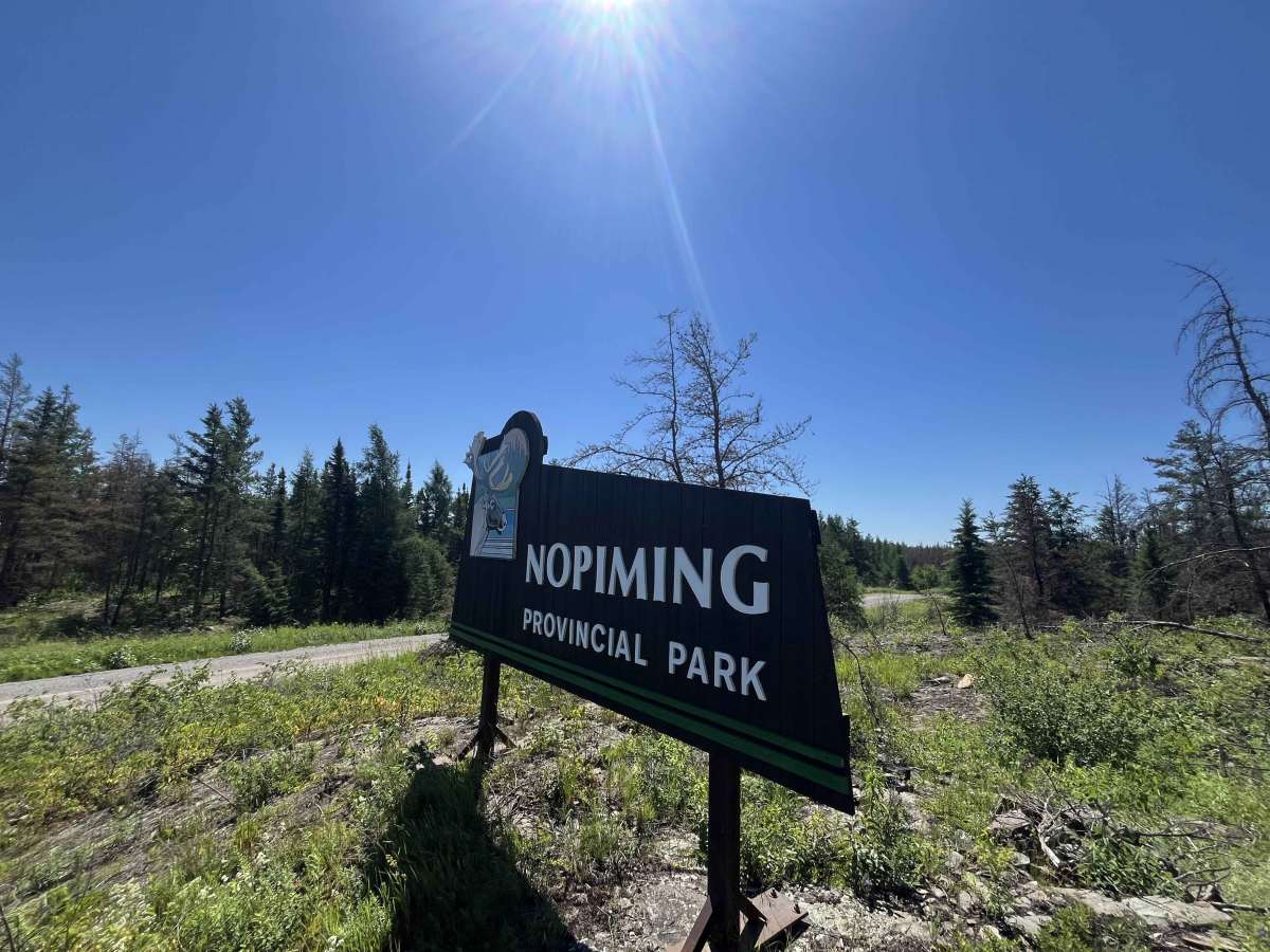
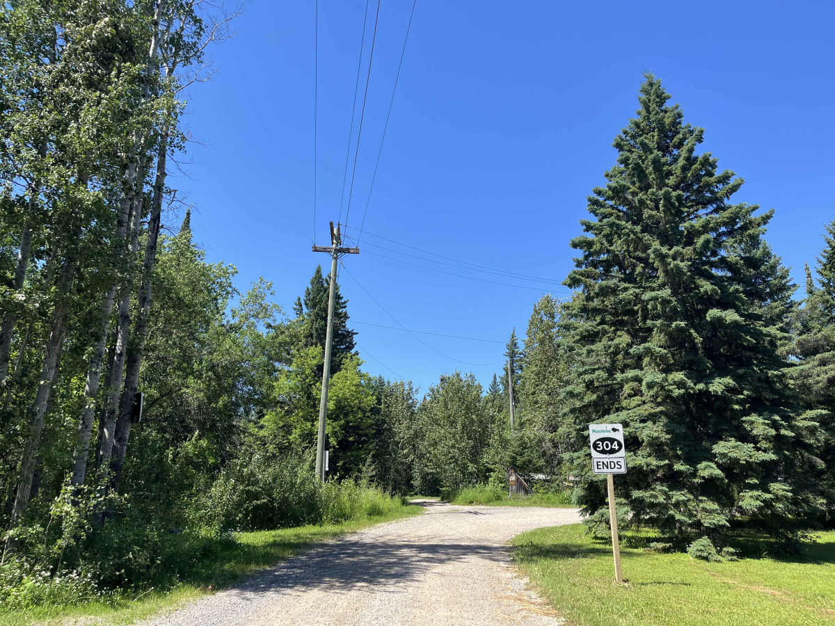
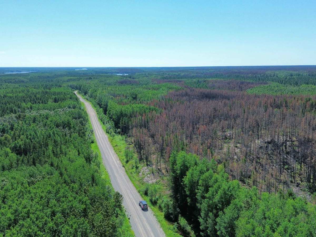
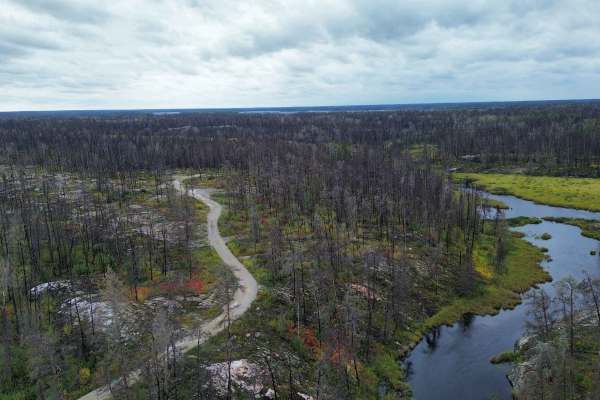
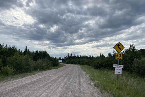
MB-304 from Manigotagan to Long Lake is a remote, scenic gravel route through Manitoba’s eastern Canadian Shield. The road passes through dense boreal forest, exposed rock, wetlands, and lake country as it travels toward the northern edge of Nopiming Provincial Park and the Bissett area.
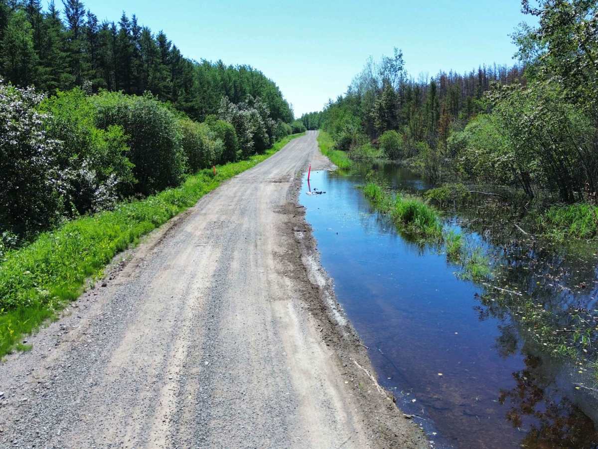
This is a maintained public road rather than a technical off-road trail, but conditions can change quickly. Expect loose gravel, dust, washboard, potholes, occasional soft sections after rain, and limited services or cell coverage. Bissett has the only cell tower. Logging, mining, and maintenance vehicles may also be encountered. Wildlife is common, especially near dawn and dusk.
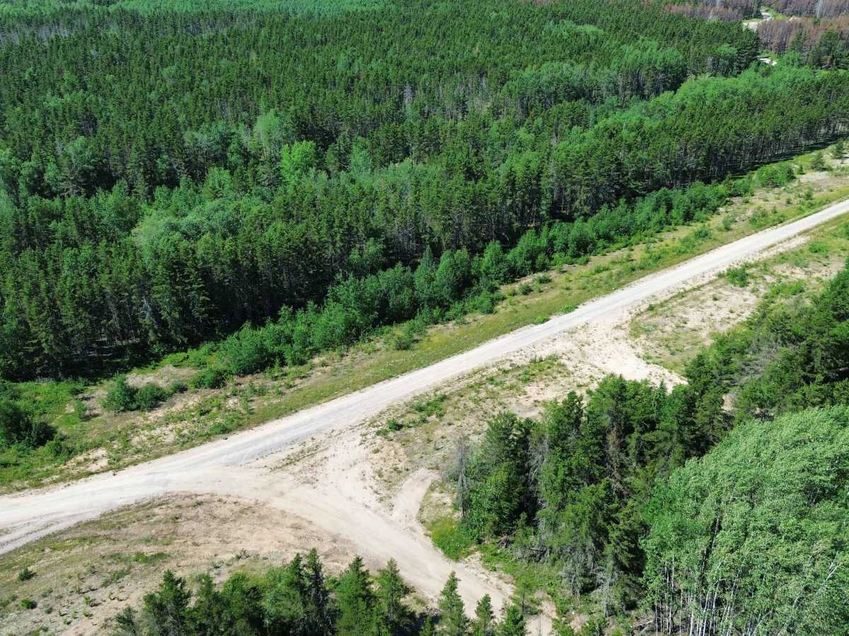
The route provides access to the East Side Road, Wanipigow Lake, Wallace Lake, Bissett, PR- 314, and Long Lake. A high-clearance vehicle is helpful but is not normally required in dry conditions. Carry a full-size spare, tire repair equipment, fuel, water, and offline maps, as assistance may be a long distance away. A park pass is required for entering Nopiming Provincial Park.
History
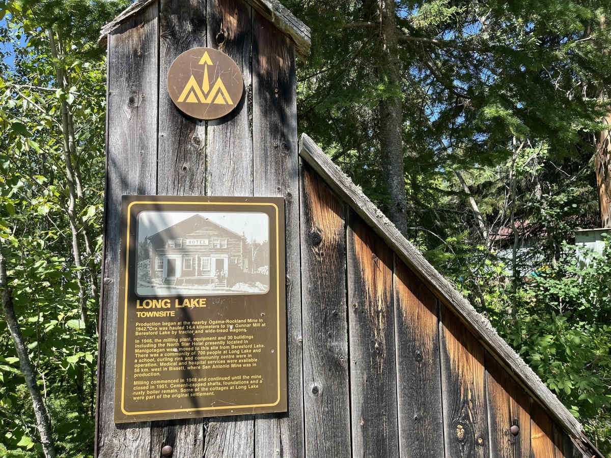
Before PR- 304, travel through this remote region followed Indigenous waterways, portages and seasonal overland trails connecting Lake Winnipeg, Manigotagan, Wanipigow Lake, and the Rice Lake area. Prospectors used these routes during Manitoba’s first major gold rush after gold was discovered near Rice Lake in 1911. The resulting San Antonio Mine led to the development of Bissett as a mining and service community. Early travellers reached the area by canoe, winter trail and later floatplane, long before dependable road access existed.
PR- 304 was later developed as the principal year-round overland connection between Manigotagan, Bissett and the northern Nopiming region. Its extension toward Wallace Lake, Long Lake and PR- 314 opened the area to mining, forestry, local transportation and wilderness recreation. Today, the road follows a modern corridor through country shaped by generations of Indigenous travel, trapping, logging, prospecting and gold mining.

 Offroad