Trail Overview
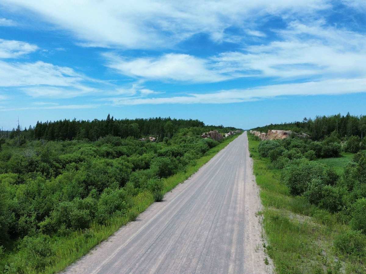
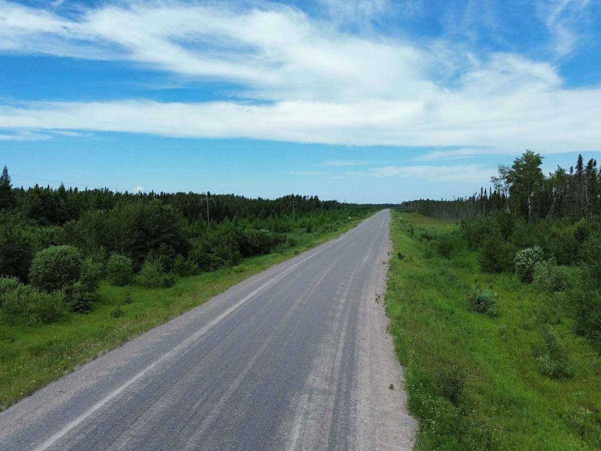
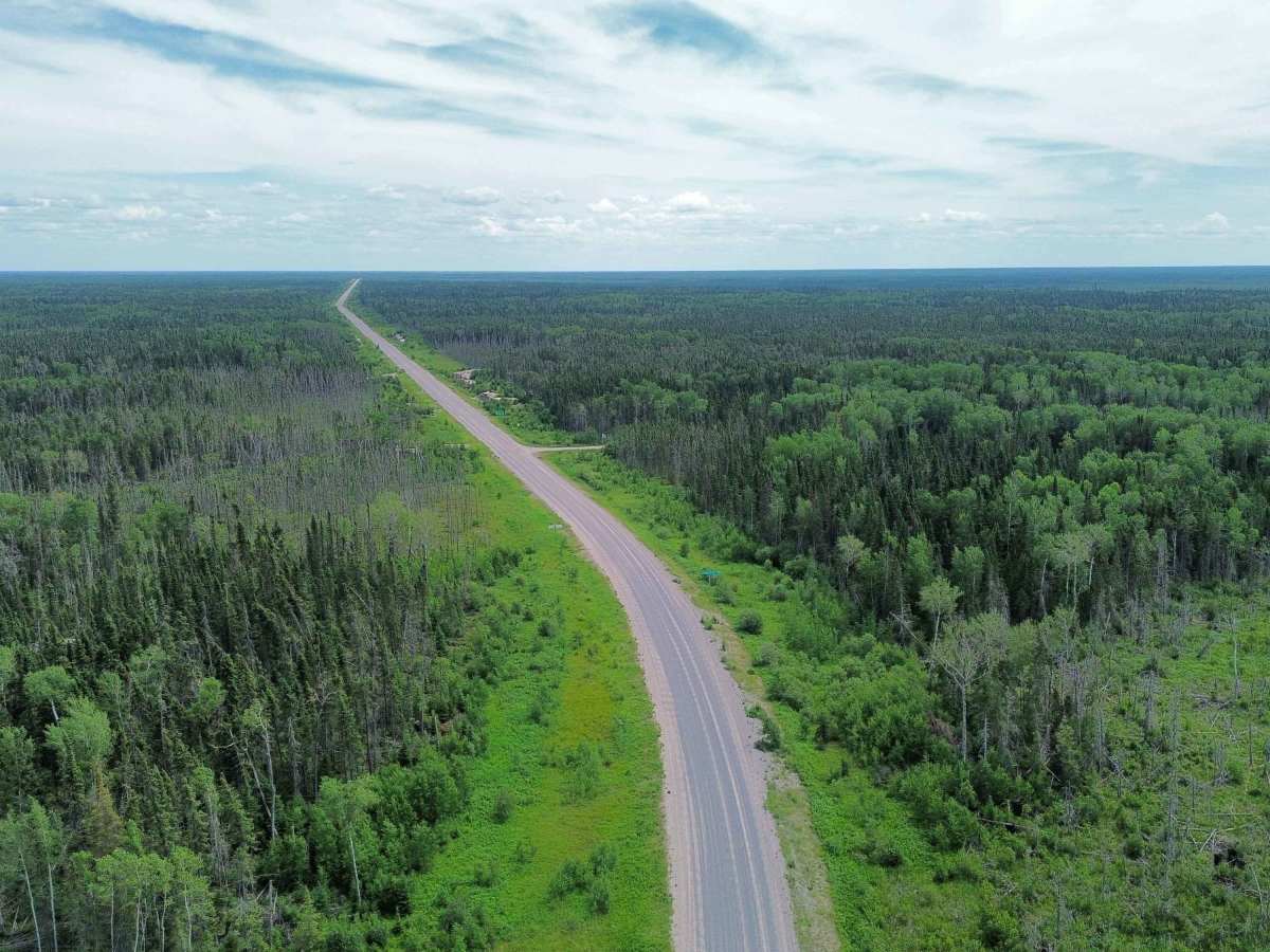
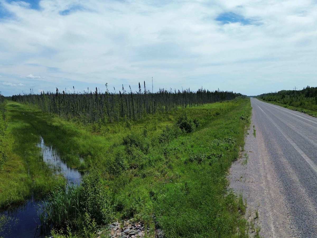
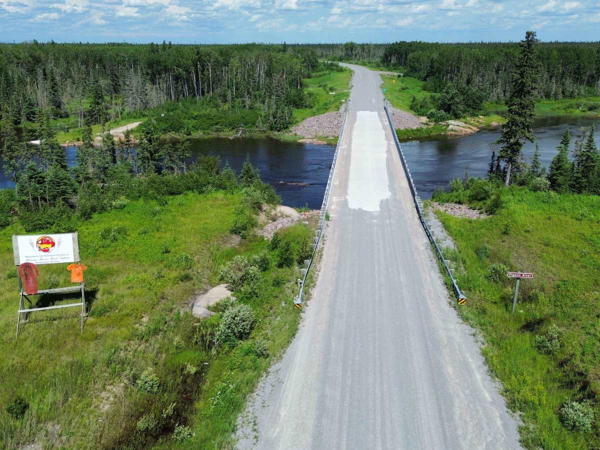
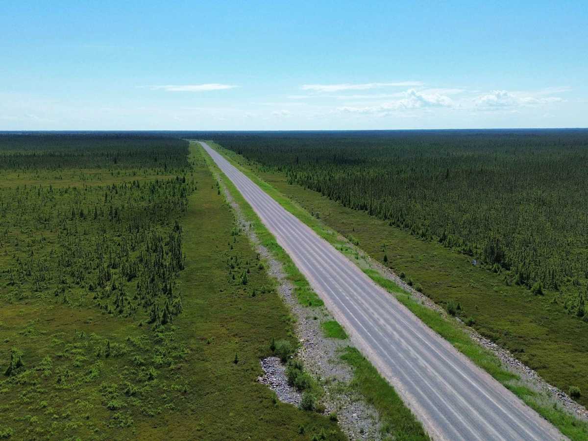
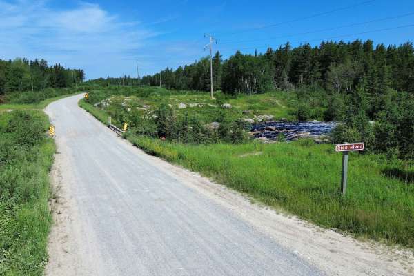
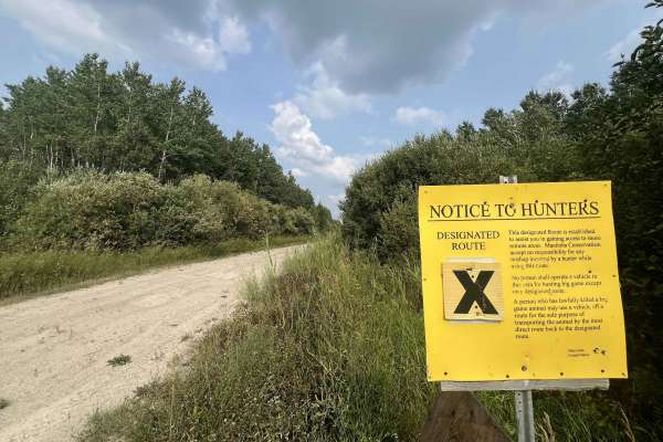
This remote all-season gravel road connects Bloodvein with the isolated community of Berens River on the eastern side of Lake Winnipeg. The route travels through undeveloped boreal forest, wetlands and exposed Canadian Shield terrain. It was constructed as a permanent transportation route and includes several substantial bridge crossings, including the Bradbury River crossing.
The road is generally wide, graded and suitable for ordinary passenger vehicles when conditions are good. This is not a technical four-wheel-drive trail, and there are no planned water crossings, rock-crawling obstacles or extremely steep grades. Its challenge comes from the isolation and changing gravel-road conditions rather than difficult terrain.
Drivers should expect long stretches of loose gravel, dust, washboard, potholes and occasional soft or muddy sections following heavy rain or spring thaw. Logging, construction, maintenance and community traffic may be encountered, so slow down on blind hills and corners and leave plenty of space when passing other vehicles. Wildlife may also appear on the roadway.
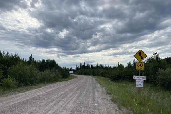
There are no dependable roadside services between Bloodvein and Berens River. Carry sufficient fuel, food, water, a full-size spare or tire-repair equipment and basic recovery gear. It is not uncommon for the gas station to have no fuel. Do not rely solely on cellular service; an offline map and satellite communication device are recommended. Conditions can change quickly, especially during spring breakup, prolonged rain, wildfire activity or winter storms.
The route ends in Berens River, a remote First Nation and Northern Affairs community on the shore of Lake Winnipeg. Visitors should remain on the public roadway, respect community lands and avoid entering private, cultural or traditional-use areas without permission.
Although the road is maintained for year-round travel, travellers should confirm current road and community access conditions before departing.
History
Before this all-season road was built, travel between Bloodvein and Berens River relied mainly on a seasonal winter road and air transportation. Planning for a permanent route began through Manitoba’s East Side Road initiative, with the selected alignment following much of the existing winter-road corridor to reduce new disturbance. Bloodvein gained year-round road access in 2014, and the approximately 70-kilometre extension to Berens River opened in December 2017. The project created the first dependable land connection between Berens River and Manitoba’s provincial highway network.