Trail Overview
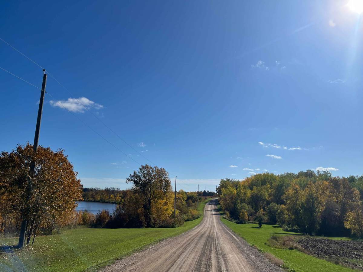
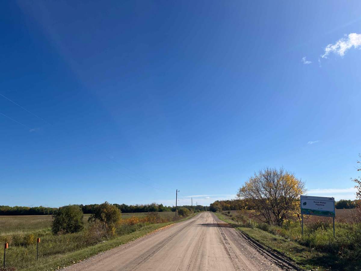
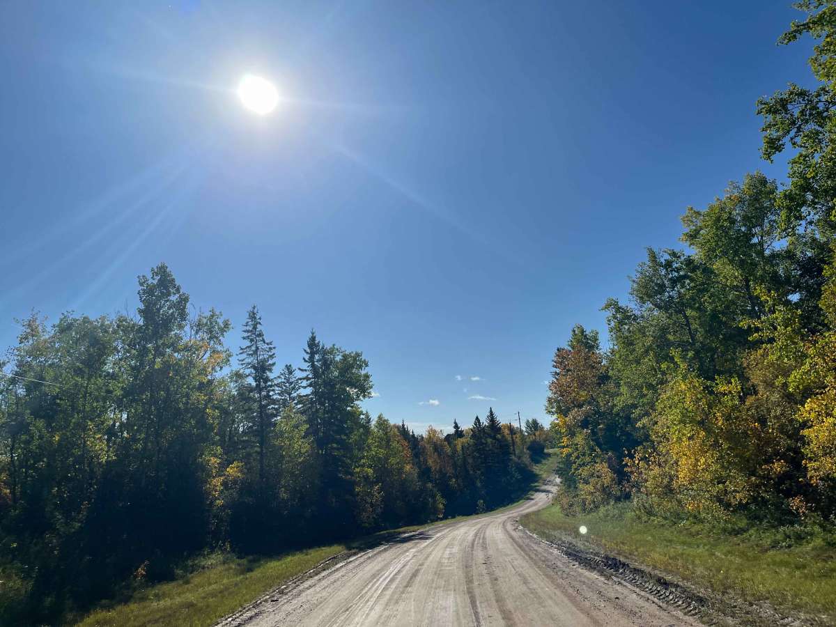
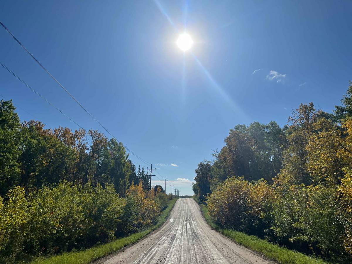
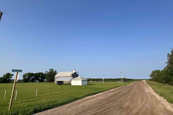
A scenic gravel backroad running north from historic Sieg's Corner through the Whitemouth River Valley toward Seven Sisters Falls and Whitemouth Falls. The route travels through a mixture of farmland, rolling wooded terrain, and increasingly forested country approaching the Canadian Shield.
Today the road forms part of the Whitemouth River Valley Heritage Driving Tour, a 130-km self-guided route linking historic locations around Whitemouth, River Hills, Seven Sisters Falls and Elma. Heritage signs along the route have QR codes providing audio histories of individual sites.
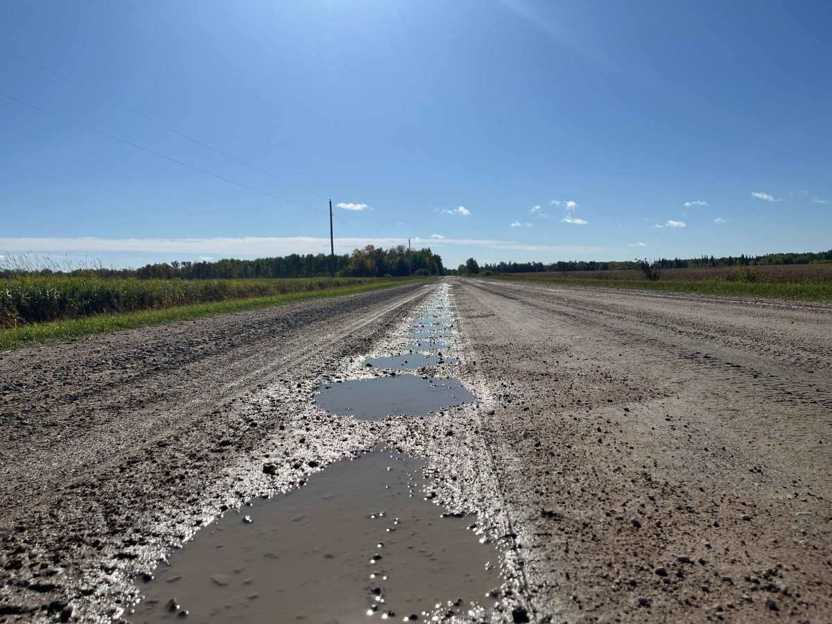
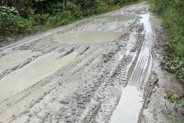
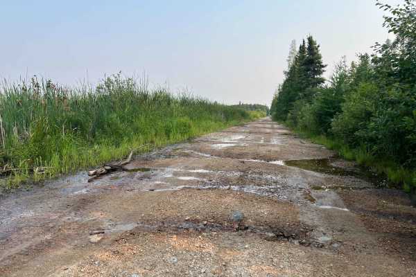
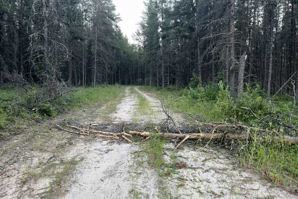
The road is primarily maintained gravel with occasional potholes, shallow standing water, and muddy sections following rain. There are no significant technical obstacles under normal conditions. The drive is especially scenic in fall as it transitions between open agricultural land and the forested Whitemouth/Winnipeg River country.
History
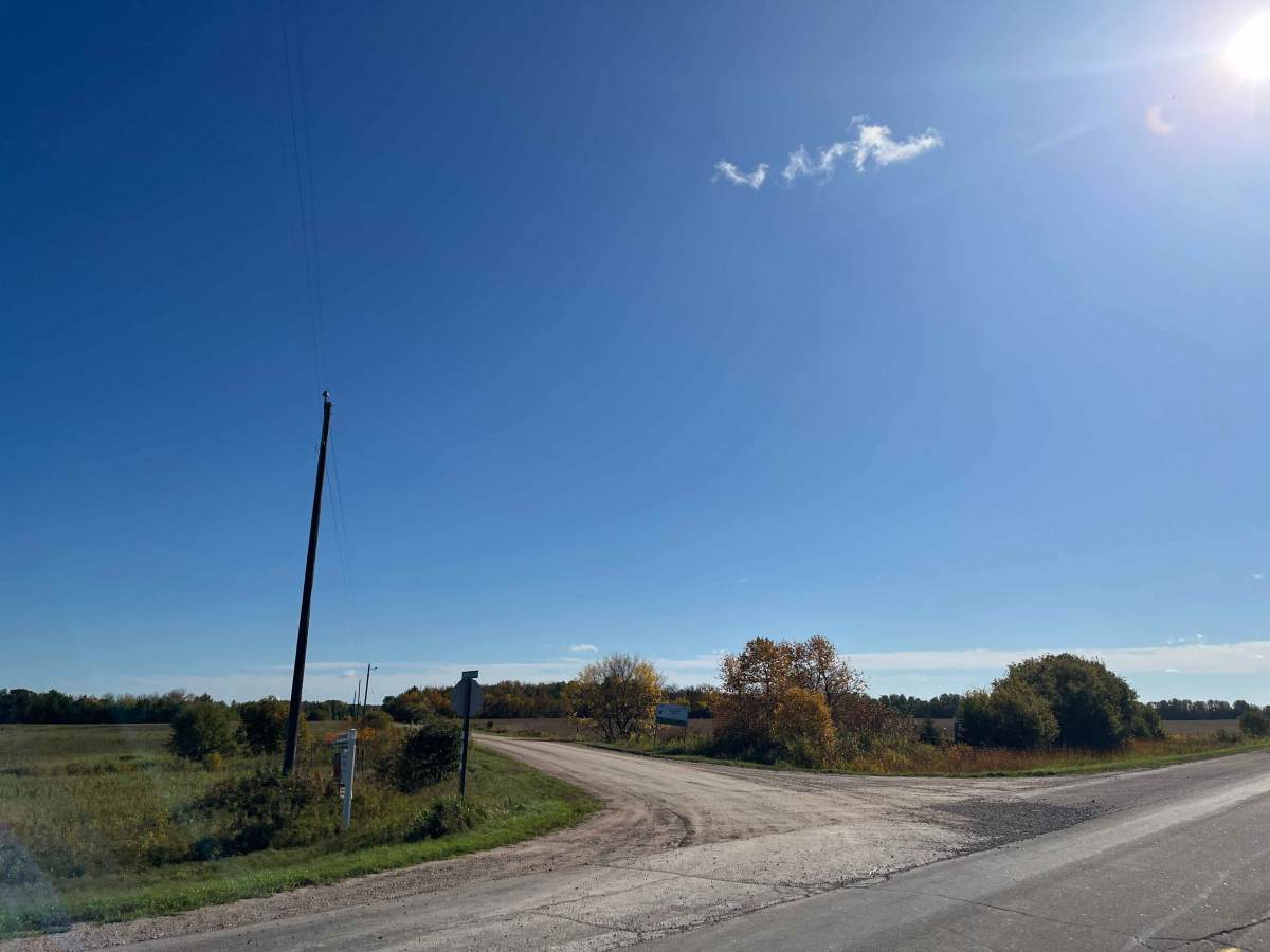
Brookfield Road has an interesting transportation history. Sieg's Corner became an important road junction after the “Automobile Road” opened in 1919 and later became part of the original Trans-Canada Highway. Brookfield Road provided access north to local farms, River Hills, Whitemouth Falls, and the Seven Sisters hydroelectric development. During construction of the Seven Sisters Generating Station beginning in 1929, this corridor formed an important approach into the area.