Trail Overview
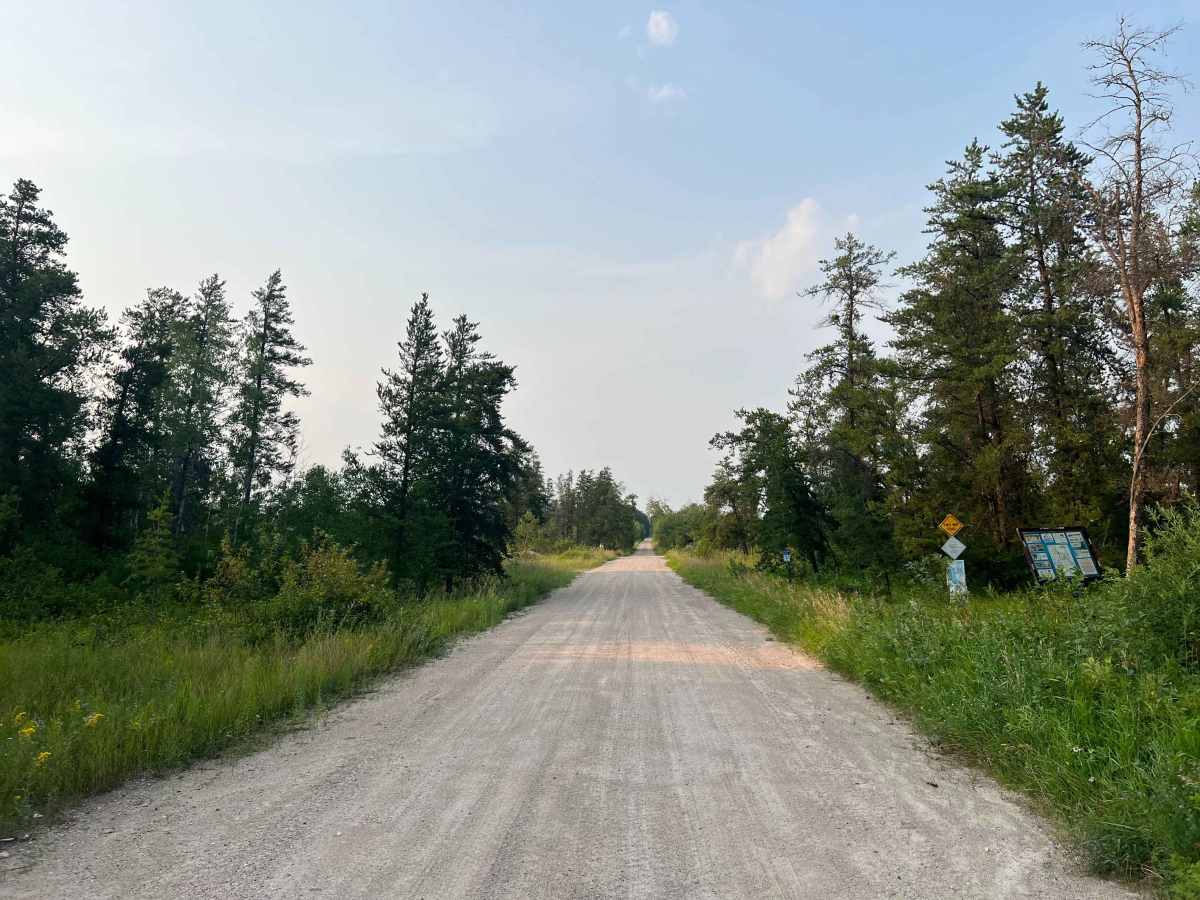
A scenic backroad route through the Agassiz Provincial Forest, running north from the Hwy 44 area near Seddons Corner. The trail is primarily gravel and sand, with long straight stretches through dense boreal forest, wetlands, and low-lying muskeg.
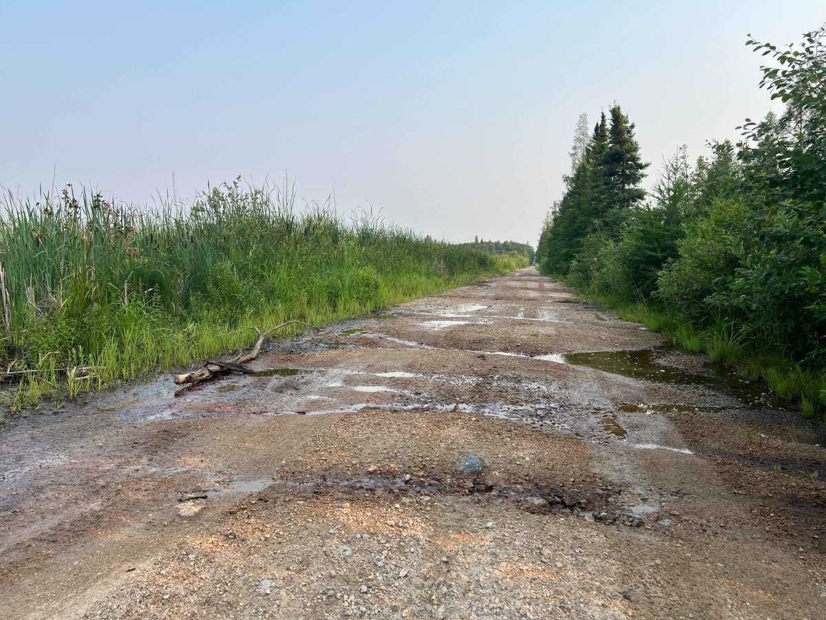
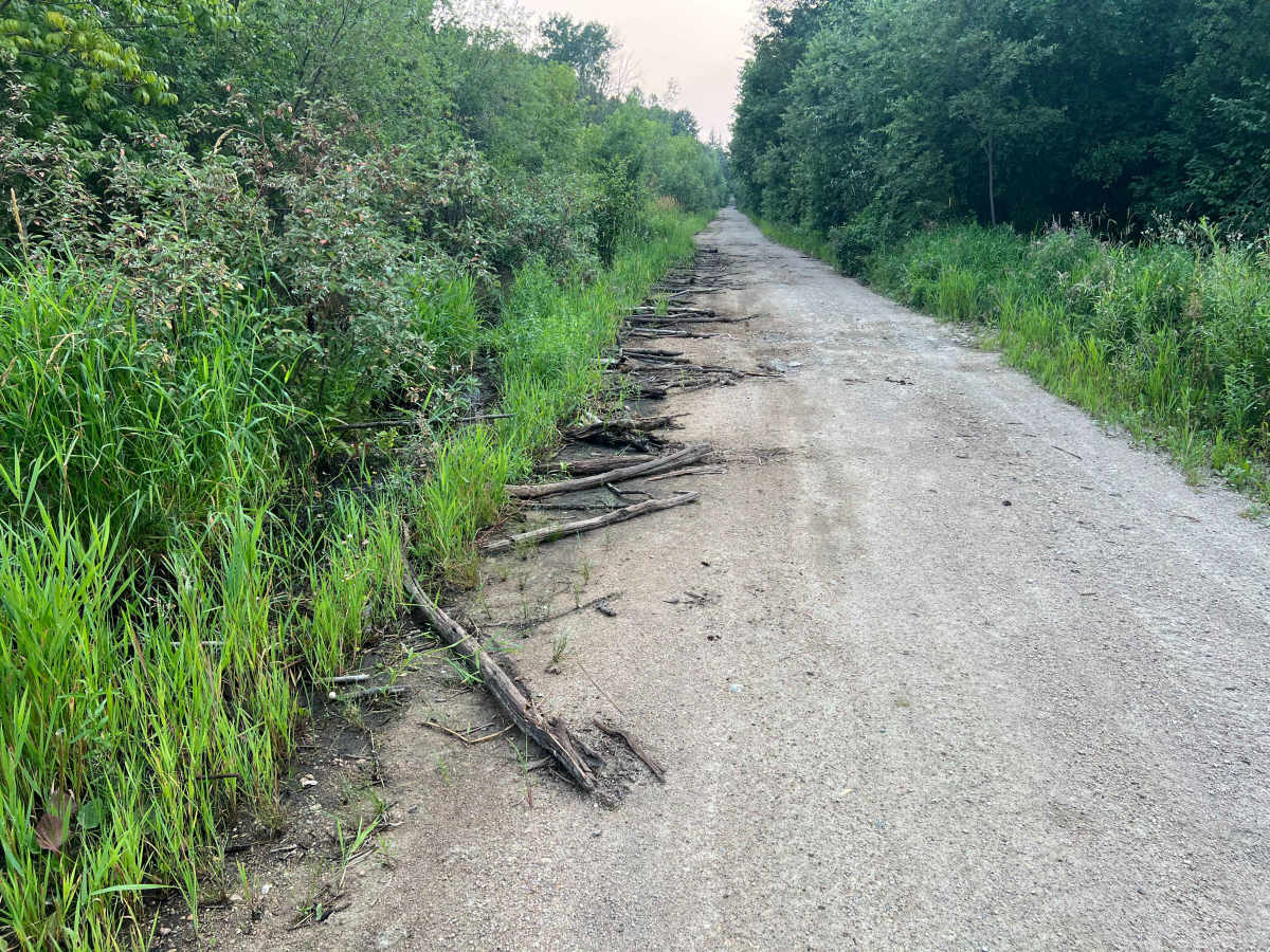
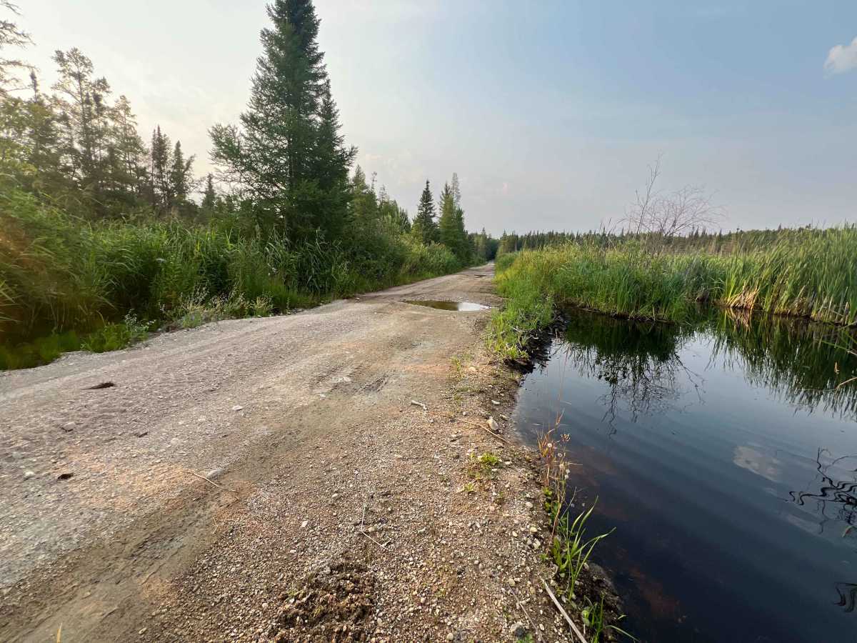
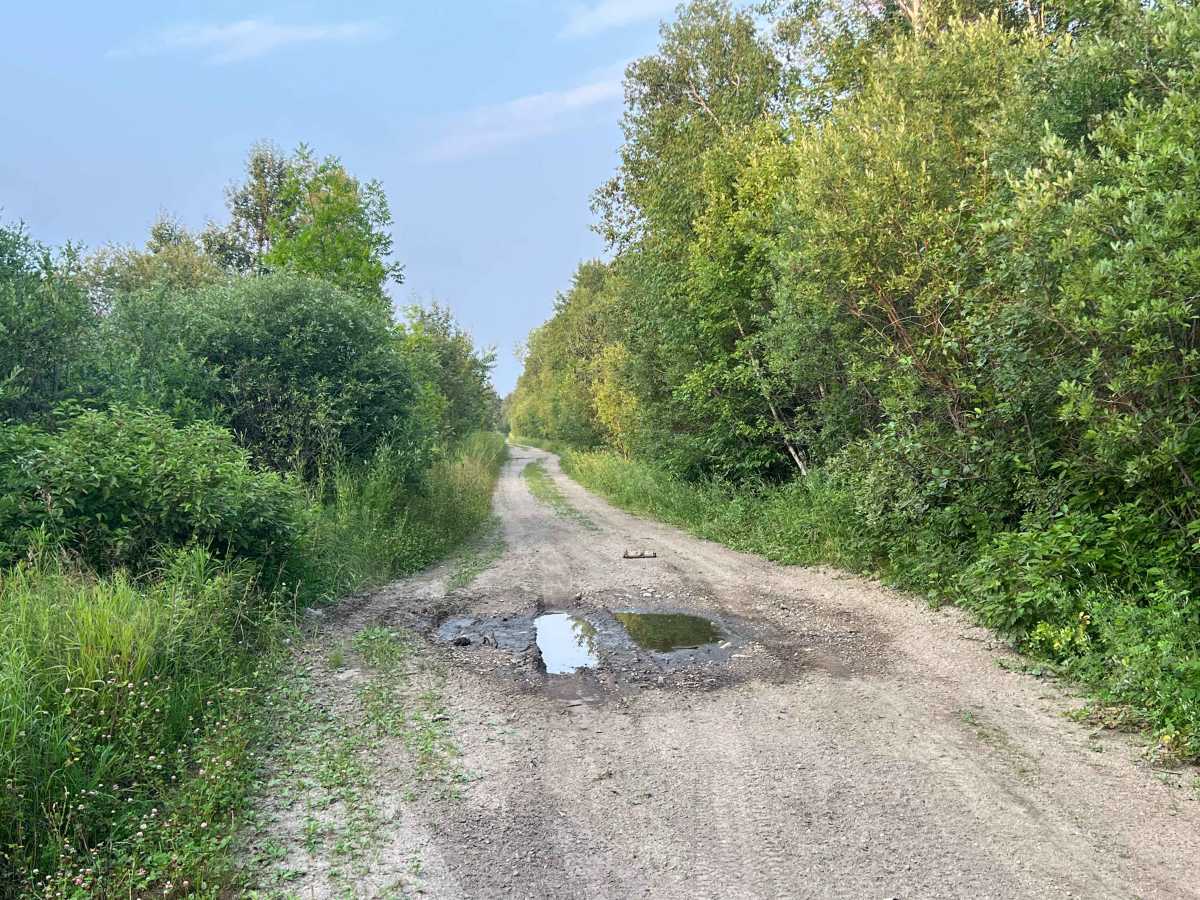
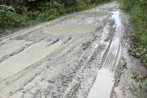
Most of the route is relatively easy in dry conditions, but several sections can become rough and wet after rain. Expect potholes, standing water, soft shoulders, minor washouts, encroaching vegetation, and occasional fallen trees or beaver-related flooding. Some low areas have water running across or immediately alongside the road. Conditions can change considerably depending on recent rainfall and seasonal water levels.
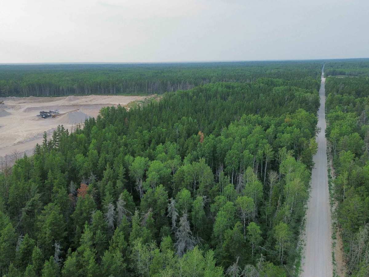
There are active and historic aggregate/quarry areas along portions of the corridor, so watch for equipment and respect any posted restrictions or private operations. The surrounding forest also contains numerous side roads and old resource trails that make the area worth exploring.
Avoid driving westward to Milner Ridge Correctional Centre.
Difficulty
Mostly flat, wide, and relatively straight. Possible seasonal soft ground, washouts, and downed trees.
History
Agassiz Road runs through the historic Agassiz Provincial Forest, an area that has long been used for forestry, aggregate extraction, and other resource industries. The forest was established in 1954 as the Agassiz Forest Reserve, primarily to manage timber resources.