Trail Overview
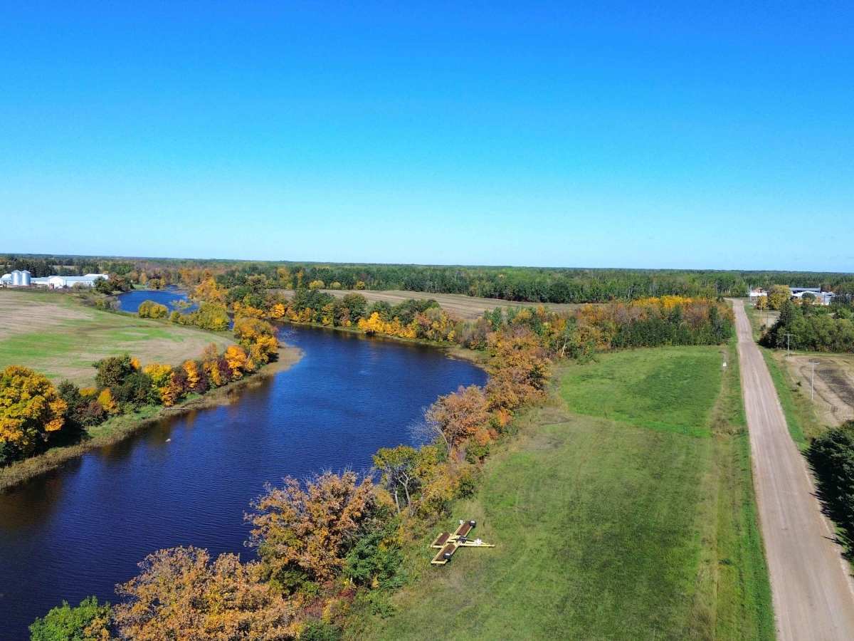
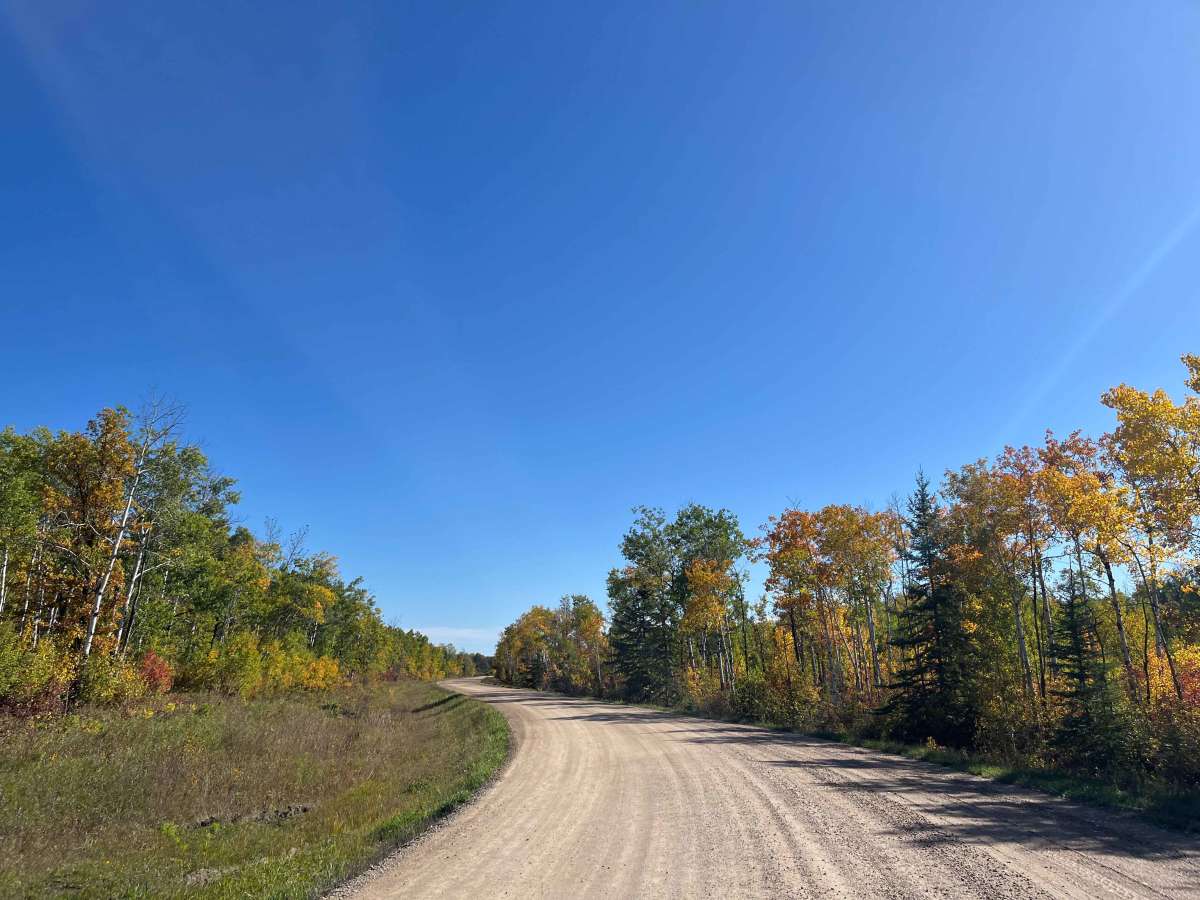
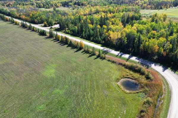
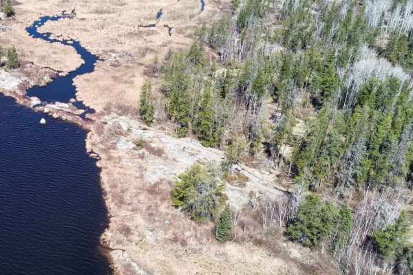
Juno Road is a quiet gravel backroad through the rural countryside southeast of Elma, Manitoba. The route passes through a mix of open farmland, wooded sections, wetlands, and the Whitemouth River valley, with particularly scenic views during the fall.
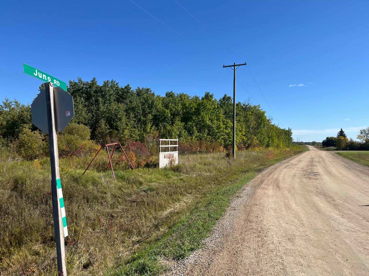
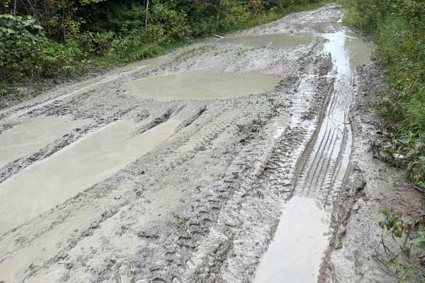
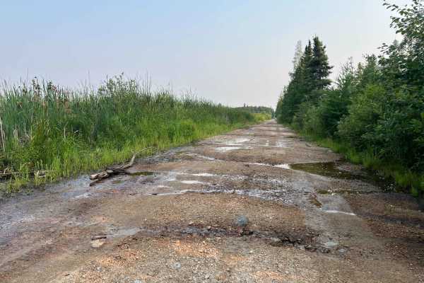
The road is generally wide, graded, and easy to travel, with long straight sections broken up by gentle curves through forested areas. In dry conditions, it is suitable for most vehicles. After heavy rain or during spring breakup, some low sections can become muddy, soft, and rutted, making a 4WD vehicle a better choice.
There are no major technical obstacles, steep climbs, rock ledges, or water crossings. Wildlife is common along the route, especially deer, so use caution around blind curves and wooded sections.
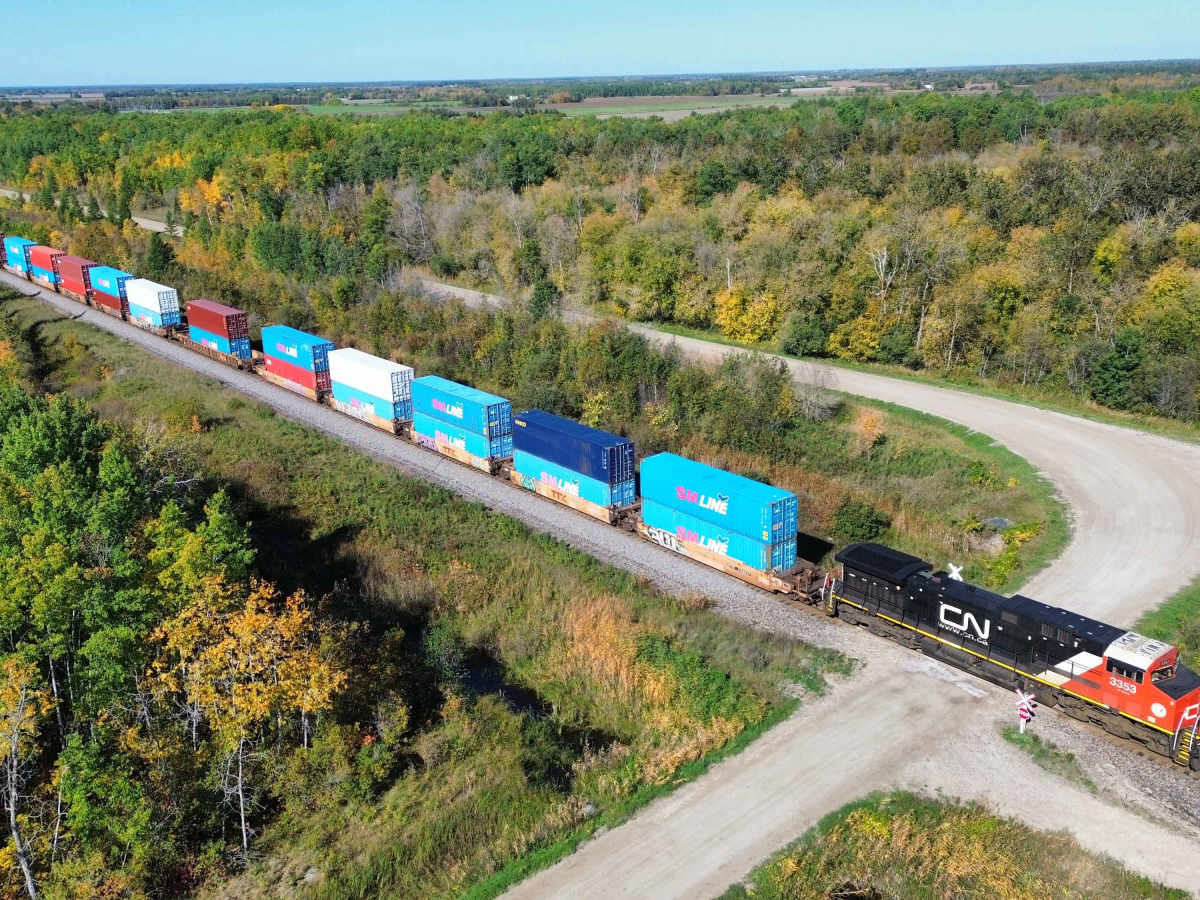
The route also passes near the active CN railway corridor, where long freight trains are common. Several portions of the road provide good views of the surrounding agricultural landscape and railway.
History
Juno Road passes through the former rural settlement of Juno, an early farming community in the RM of Whitemouth.
One of the area's most interesting historic sites was Juno School District No. 1679, established in 1913. The one-room school served a very large rural district, with some students travelling considerable distances to attend. Because the Whitemouth River divided parts of the school district, some children reportedly crossed the river using a cable car to reach school.
The school district remained active until the late 1960s, when rural school consolidation brought students into the larger regional school system.
Juno Road also lies near the historic railway corridor through Elma. The present CN line was originally developed as part of the National Transcontinental Railway and later became part of Canadian National. The railway remains a major east-west freight route today, and trains are frequently visible from the surrounding roads.
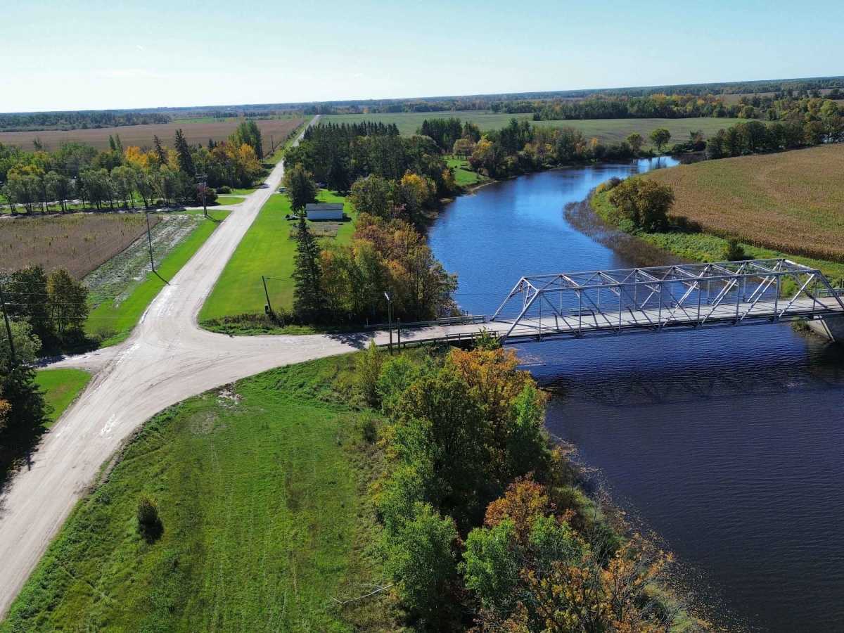
Another nearby landmark is the Silver Bridge over the Whitemouth River. The current steel truss bridge was relocated to the area in 1969 after previously serving on an older Manitoba highway alignment. During its relocation, the bridge reportedly became bogged down in marshy ground near Juno Road and required several days to recover before installation.
Together, the old school district, river crossing, farming settlement, railway, and bridge history make Juno Road an interesting heritage backroad even though the drive itself is technically easy.