Trail Overview
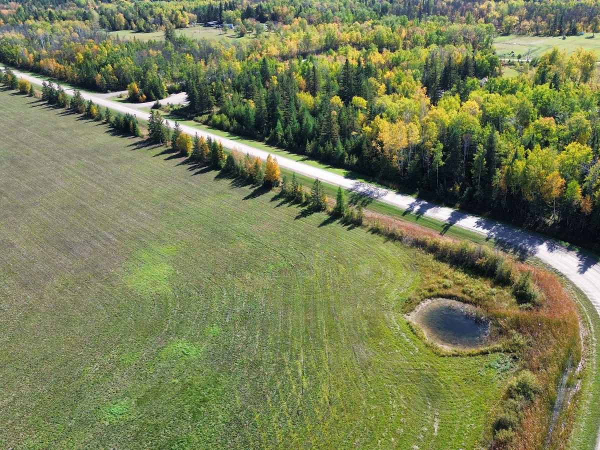
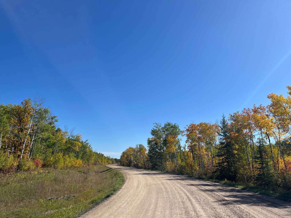
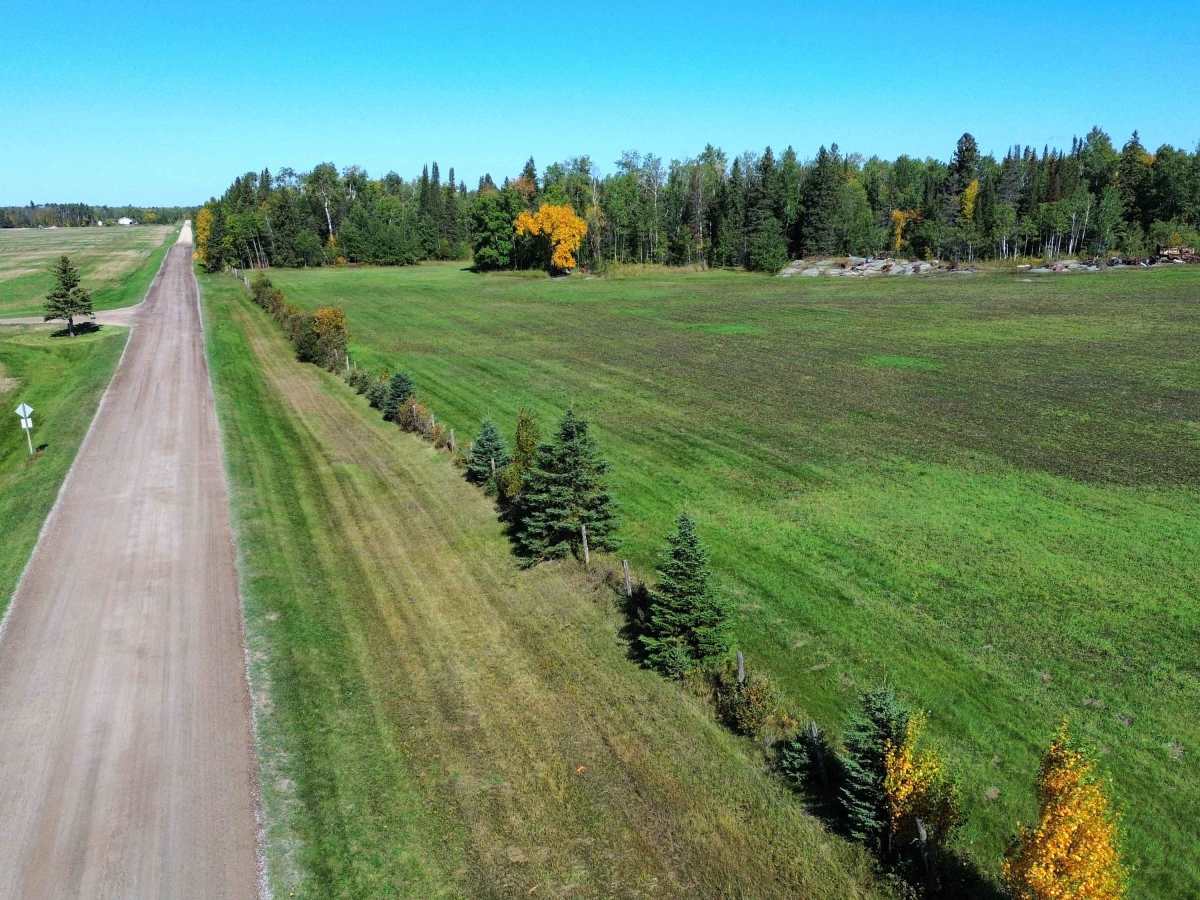
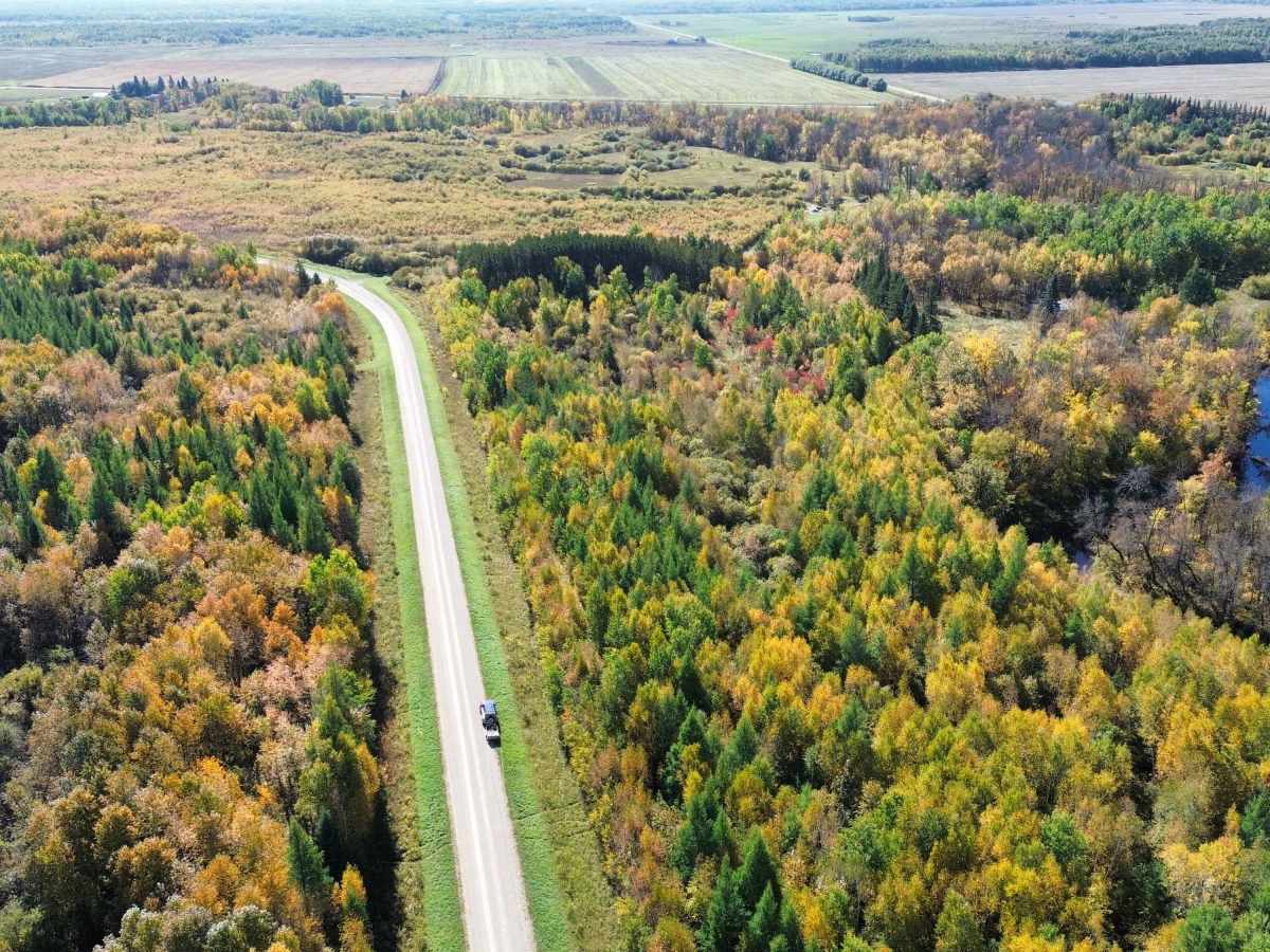
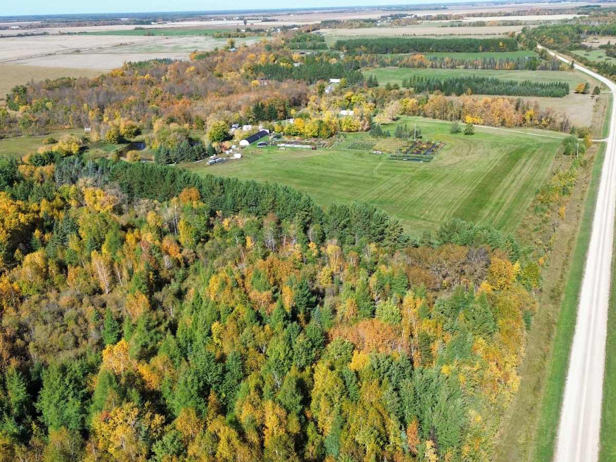
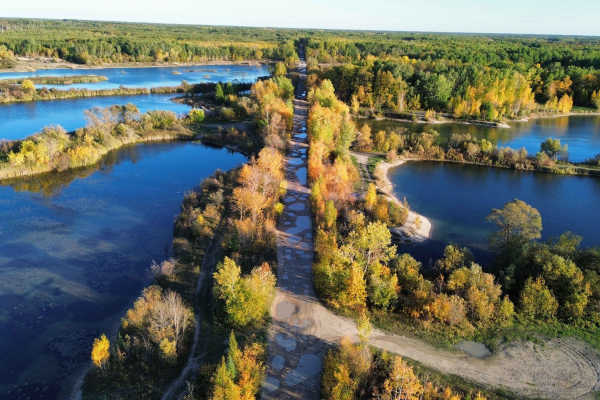
Birch River Road is a scenic gravel backroad through the rural countryside of eastern Manitoba near Prawda and McMunn. The route passes through a mixture of farmland, wetlands and dense mixed forest, with portions following the broader Birch River valley. It is especially scenic during the fall when the aspen, birch and maple create excellent colour along the road.
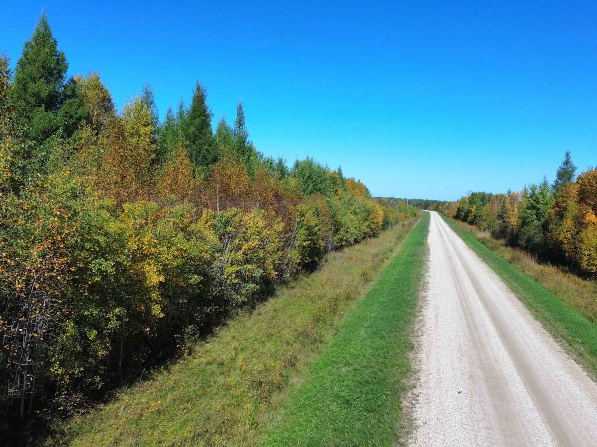
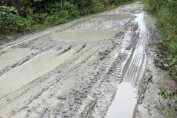
Most of the route is a wide, well-graded two-lane gravel road with a firm surface and few obstacles. The character changes regularly between long straight agricultural sections and more winding forested portions. Low-lying areas can become soft, muddy, or lightly rutted following prolonged rain, but under normal dry conditions this is an easy drive suitable for stock 4x4s, AWD vehicles, and most passenger vehicles with reasonable clearance.
Wildlife is common along the route — deer should be expected, particularly near wooded sections and around dawn or dusk. Watch for residents, farm equipment, and vehicles around blind bends. There are no significant rock obstacles, ledges, or technical climbs.
History
The road takes its name from eastern Manitoba's Birch River, a roughly 68-km tributary of the Whitemouth River whose name appeared on maps as early as 1870. The surrounding district was settled by farming families during the early 1900s and was briefly organized as the Rural Municipality of Birch River from 1922 to 1935. Several one-room schools once served the scattered settlements in this area. Nearby Juno School, established in 1913, served a large district extending south through the developing Birch River settlement toward Prawda. Today's Birch River Road passes through this historic agricultural landscape of farms, forest, and wetlands.