Trail Overview
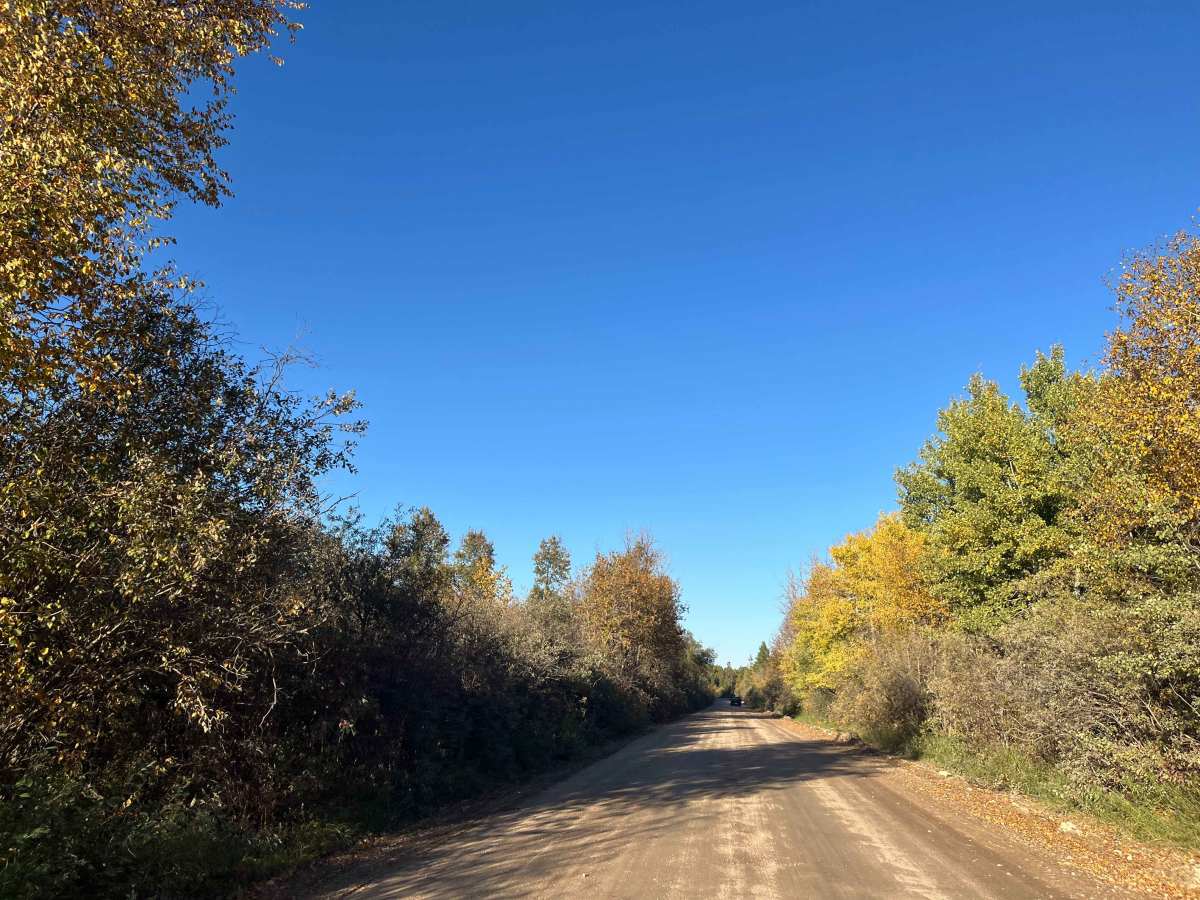
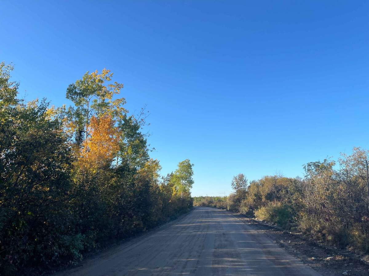
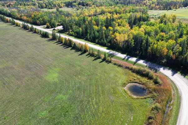
Fire Road #13 runs north from the Trans-Canada Highway through the wetlands and aggregate country to Reynolds Ponds. The route is a wide, mostly graded gravel and dirt road suitable for stock SUVs, pickups, and 4x4s in normal conditions.
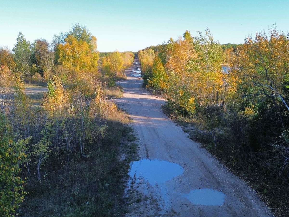
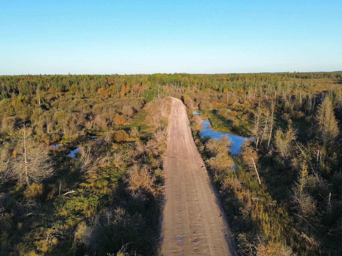
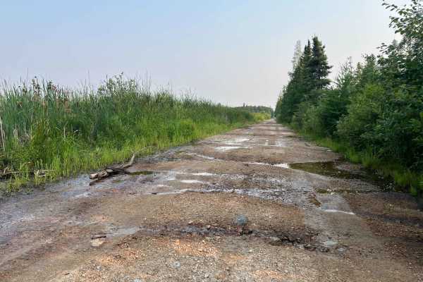
The southern portion is generally firm and maintained, with packed gravel, sand, and occasional washboard. Farther north, the road becomes rougher with numerous potholes and low spots that hold water after rain. Some sections pass directly through wetland terrain, while the northern end winds among old gravel excavations and water-filled quarry pits that now form the Reynolds Ponds.
There are no significant rock obstacles, ledges, or steep climbs on the main route. The primary challenges are potholes, standing water, soft shoulders, and occasional muddy sections. After prolonged rain or during spring breakup, some of the depressions can become considerably deeper and softer than they appear.
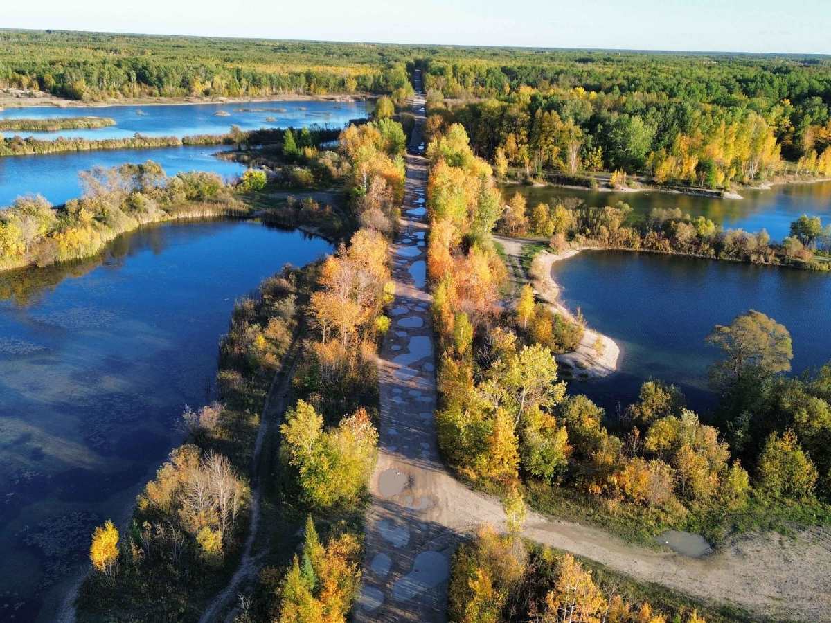
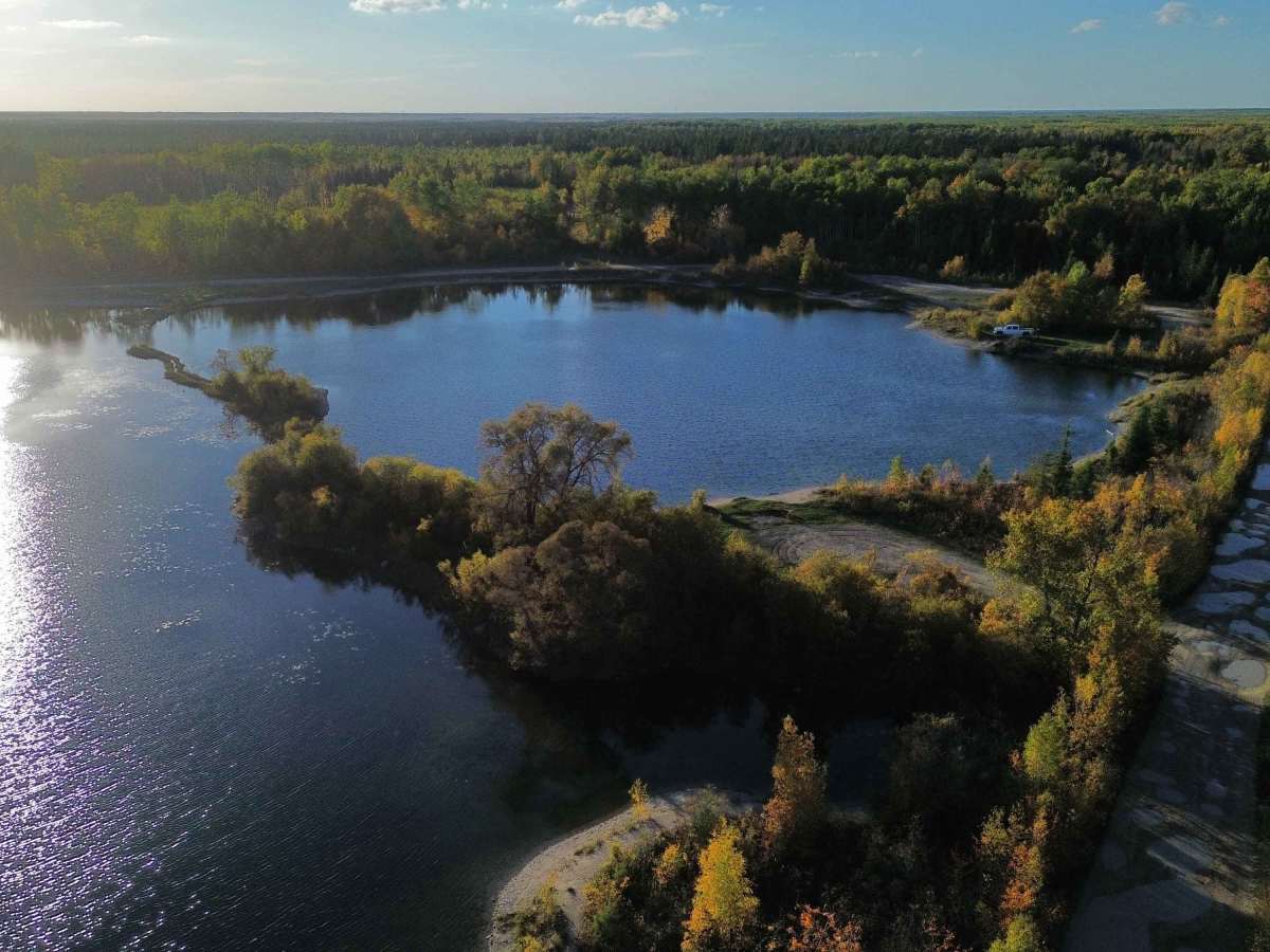
The scenery becomes increasingly interesting toward Reynolds Ponds, where the road passes between clear blue quarry lakes, regenerated forest and wetlands. Numerous old quarry and access roads branch from the main route, although conditions and land access vary and some lead toward active aggregate operations.
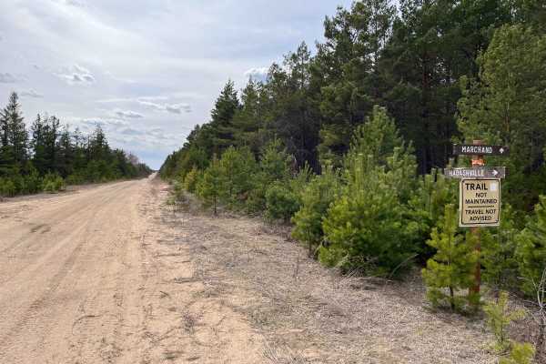
North access to Reynolds Ponds is not recommended. The old northern route is heavily rutted, muddy, and poorly maintained, with sections that may be impassable to standard vehicles; use Fire Road #13 from the Trans-Canada Highway instead.
Traffic can include anglers, ATVs, recreational vehicles, and industrial traffic from the active quarry. Expect dust in dry weather and reduced visibility around bends.
History
Fire Road #13 is part of the forestry and resource-access road network in the Reynolds area. The surrounding landscape contains extensive glacial sand and gravel deposits that have supported aggregate extraction for decades. Many of the ponds visible near the northern end are former gravel excavations; several were later developed as the Reynolds Ponds stocked fishery. The result is an unusual landscape where an old resource road now passes through wetlands, regenerated forest, active and former aggregate workings, and deep water-filled quarry pits.

 Offroad