Trail Overview
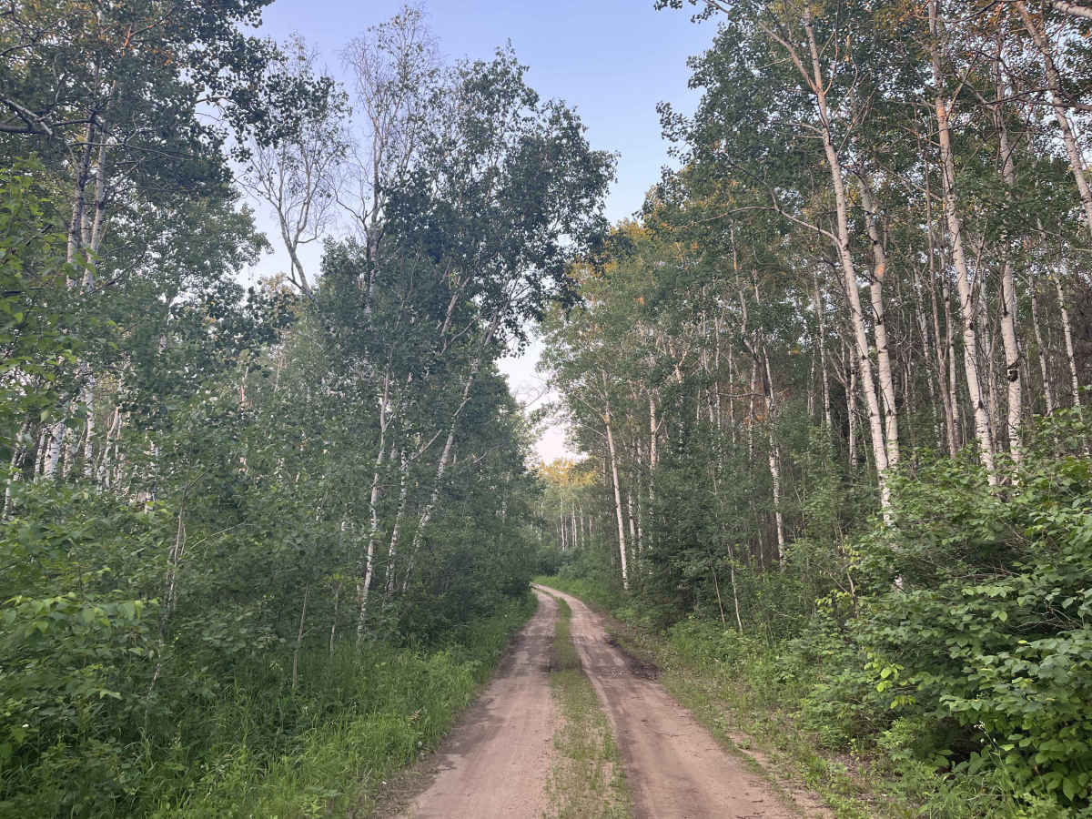
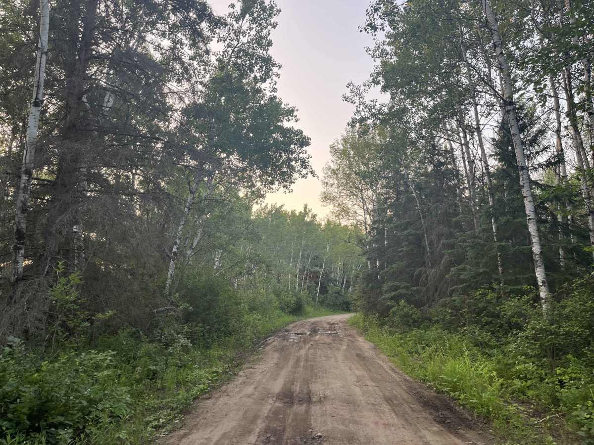
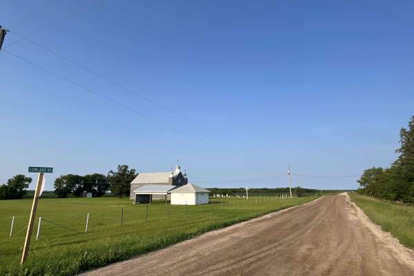
Brightstone offers a network of quiet gravel roads, sandy resource routes, old forestry tracks, and winter trail corridors through the rolling Brightstone Sand Hills Provincial Forest northwest of Lac du Bonnet.
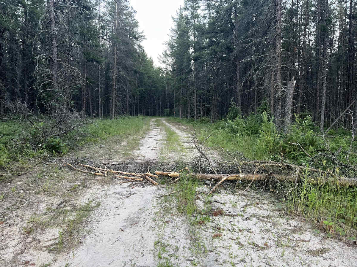
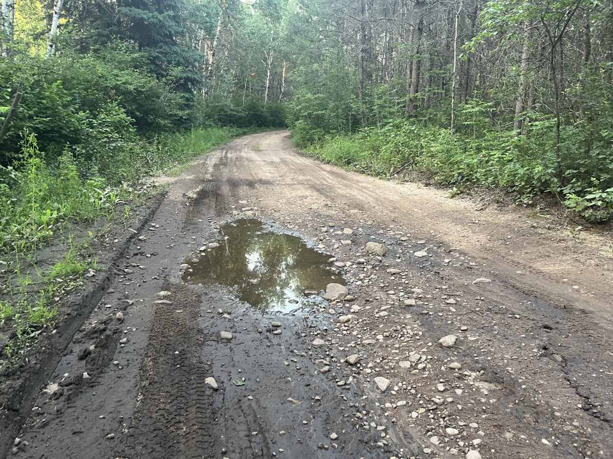
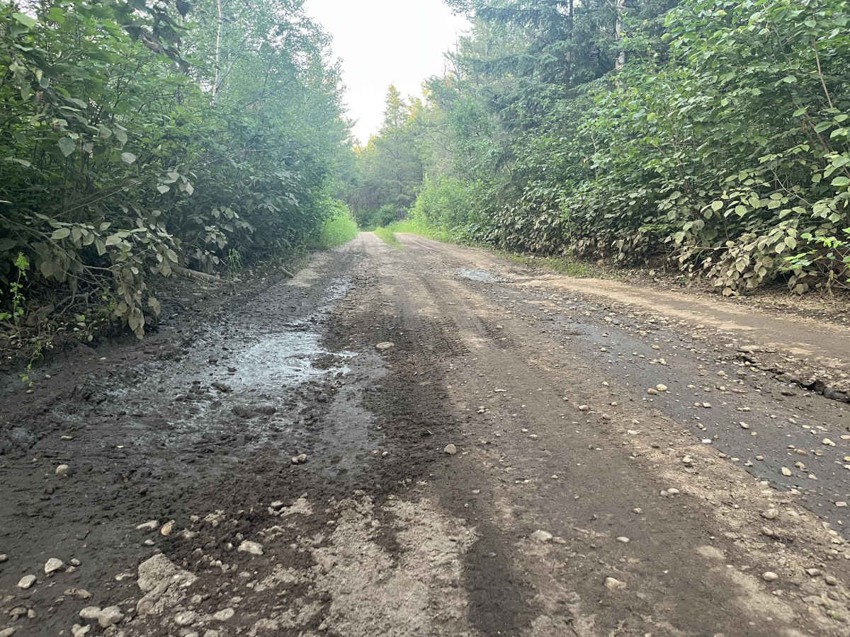
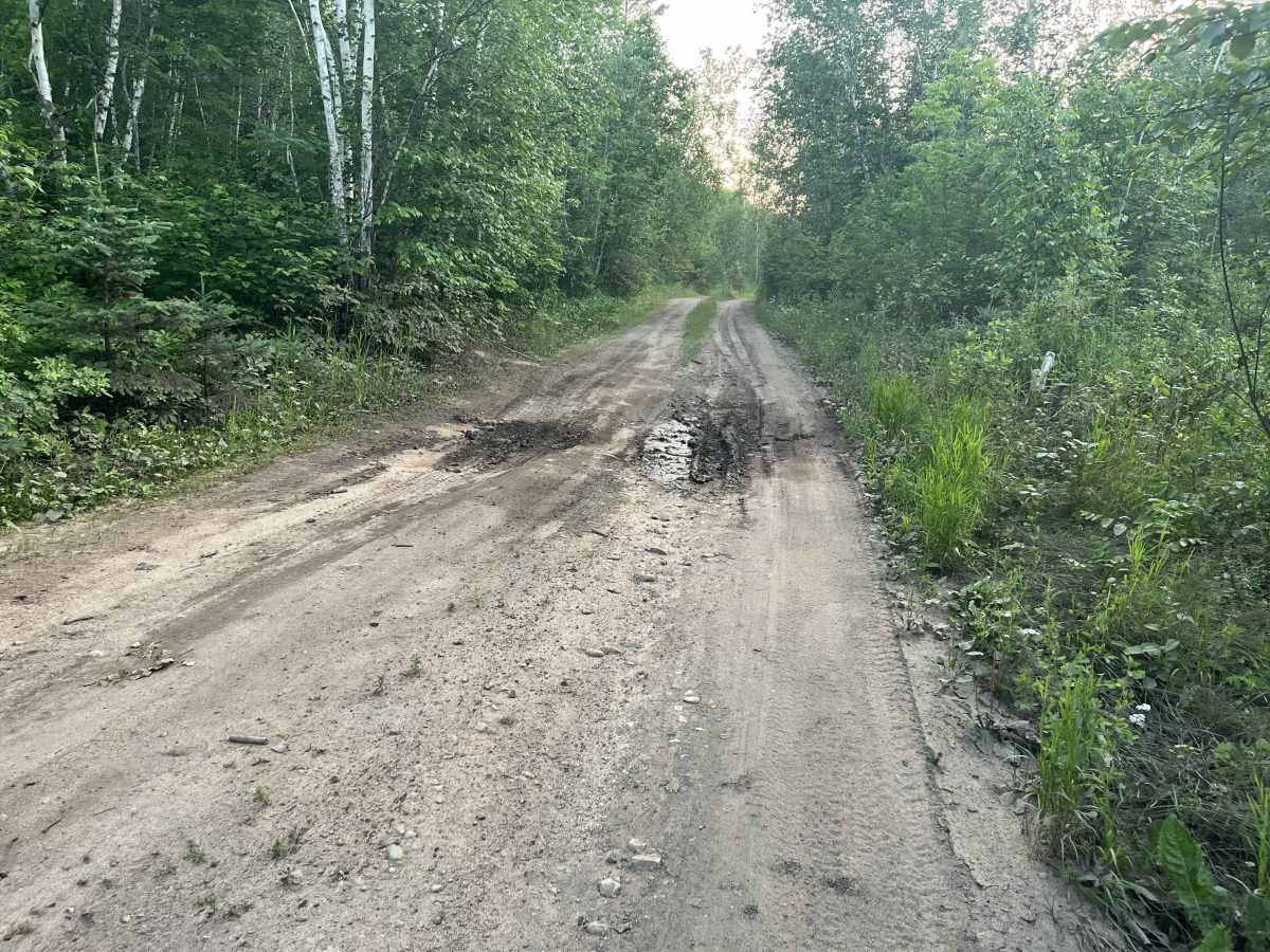
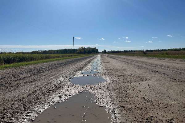
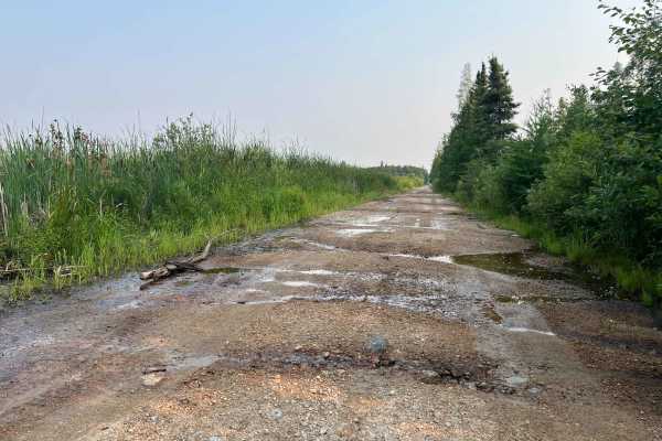
The terrain is generally easier than the rocky trails found farther east in Manitoba’s Canadian Shield, but conditions can vary quickly. Expect loose sand, washboard, shallow ruts, mud, standing water, and soft low sections between the better-drained forested ridges.
The area is an active multi-use provincial forest, so watch for logging, aggregate operations, snowmobile trails, private land boundaries, gates, and posted restrictions. Avoid entering active work sites and do not assume every visible track is open to public vehicle travel. No major recent logging activity is currently known, but this could change in the future.
This is a scenic backroad route best suited to drivers looking for a relaxed forest exploration rather than a technical rock-crawling trail. Conditions are typically driest in summer and early fall, while spring melt and heavy rain can make low areas significantly more difficult. Carry offline maps and recovery equipment.
The trail ends at a former logging site that could be reactivated any year. While it may be tempting to try to continue the remaining 2 miles along the road allowance to Maple Creek Road, this is highly discouraged due to mud/swamp/water.
Off-road recreational vehicles are allowed within the Provincial Forest, but not promoted or encouraged by the Provincial government. Any planned events require a Forestry General permit; these can be applied for through Manitoba’s E–licensing website.
History
Brightstone Sand Hills Provincial Forest was formally established in 1984, but the area’s history reaches back to the early Brightstone settlement district west of Lac du Bonnet. Ukrainian and other Eastern European homesteaders began farming the surrounding land in the early 1900s, while many families also relied on logging, firewood cutting, and winter travel routes for income. Early roads were rough trails built around wetlands and improved in places with corduroy logs. Over time, farming declined, and the remaining Crown forest was managed for forestry, aggregate extraction, wildlife, and recreation. Today, its sandy ridges, old resource roads, and forest tracks reflect more than a century of settlement and working-forest use.