Trail Overview
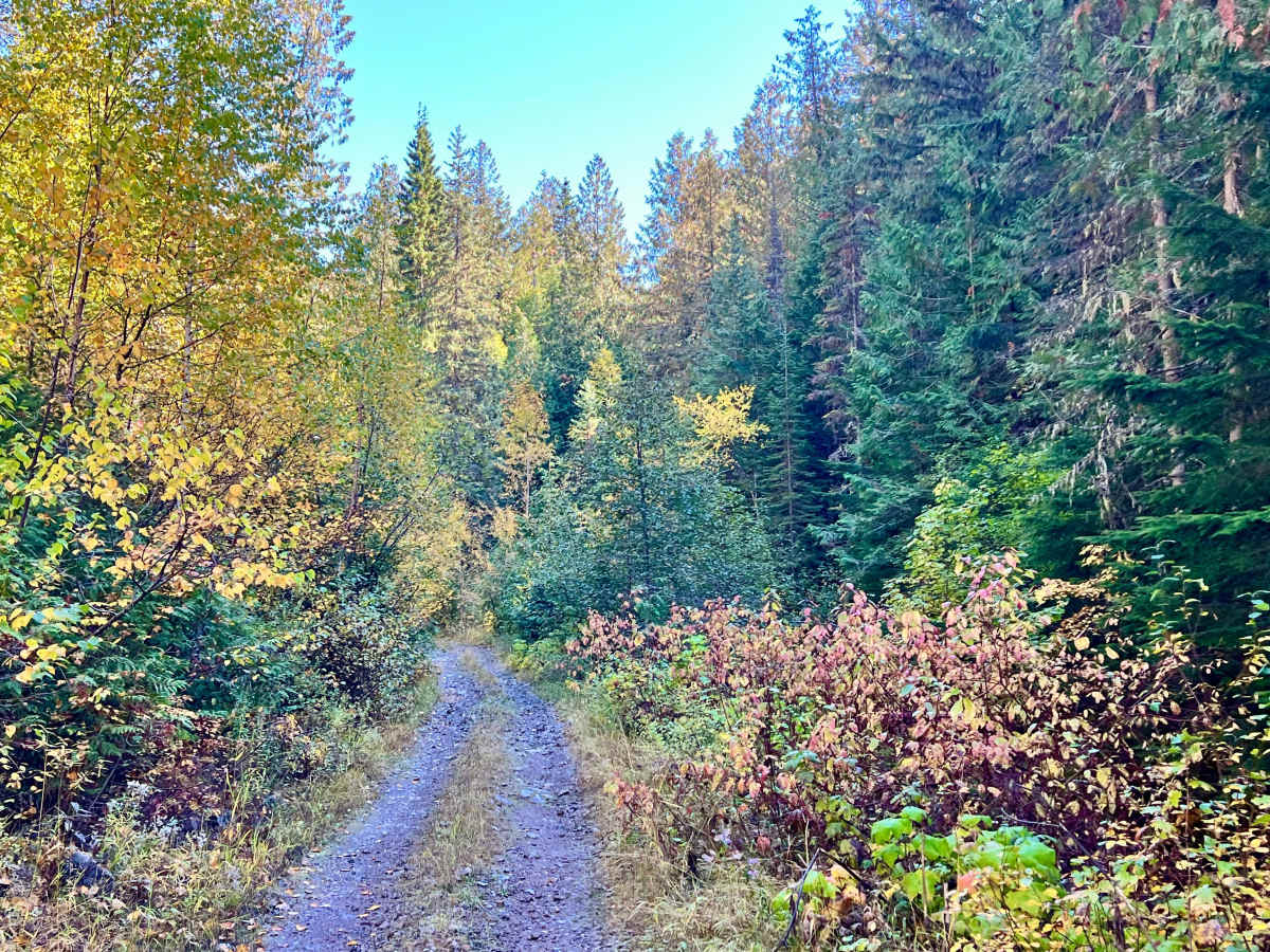
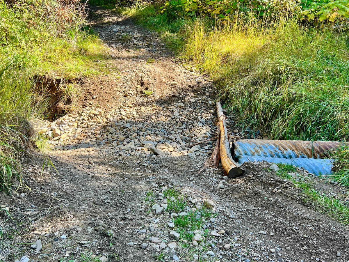
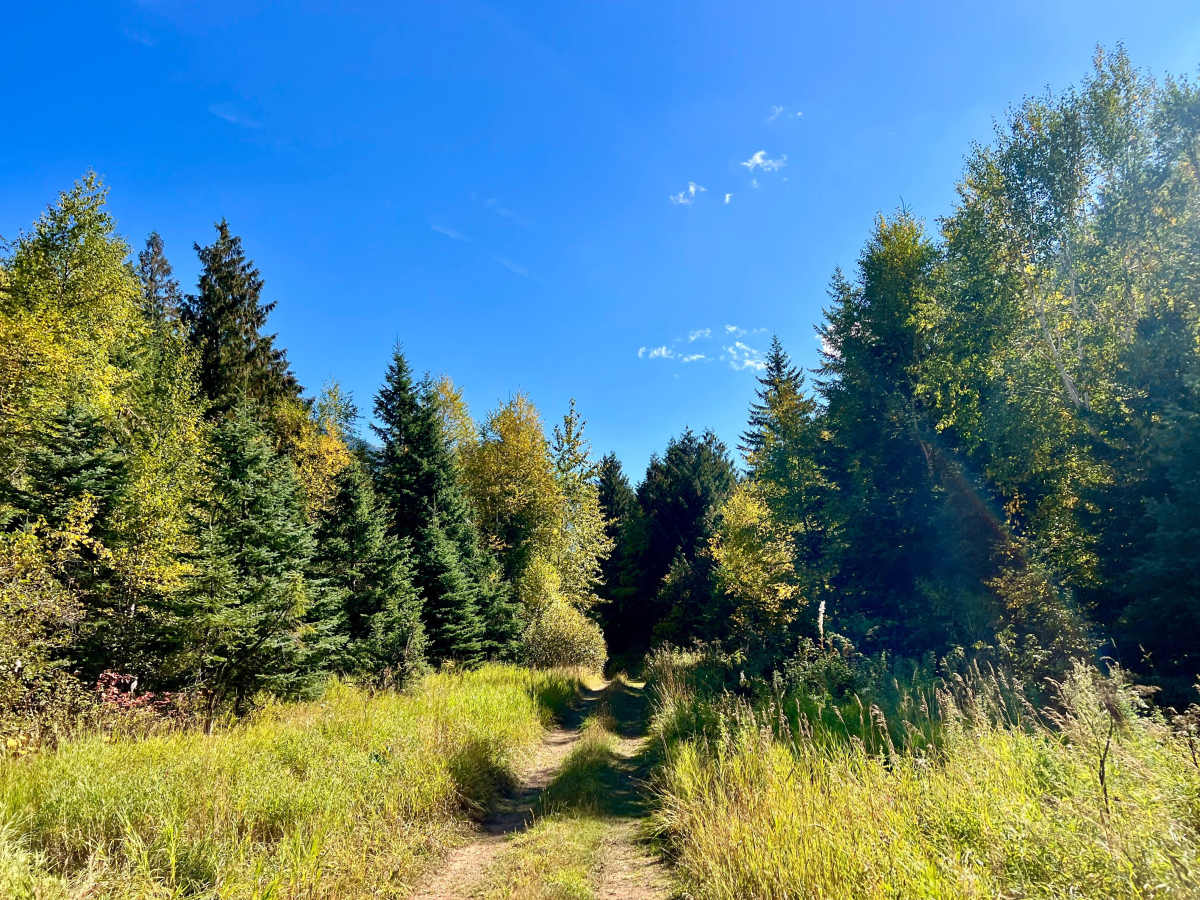
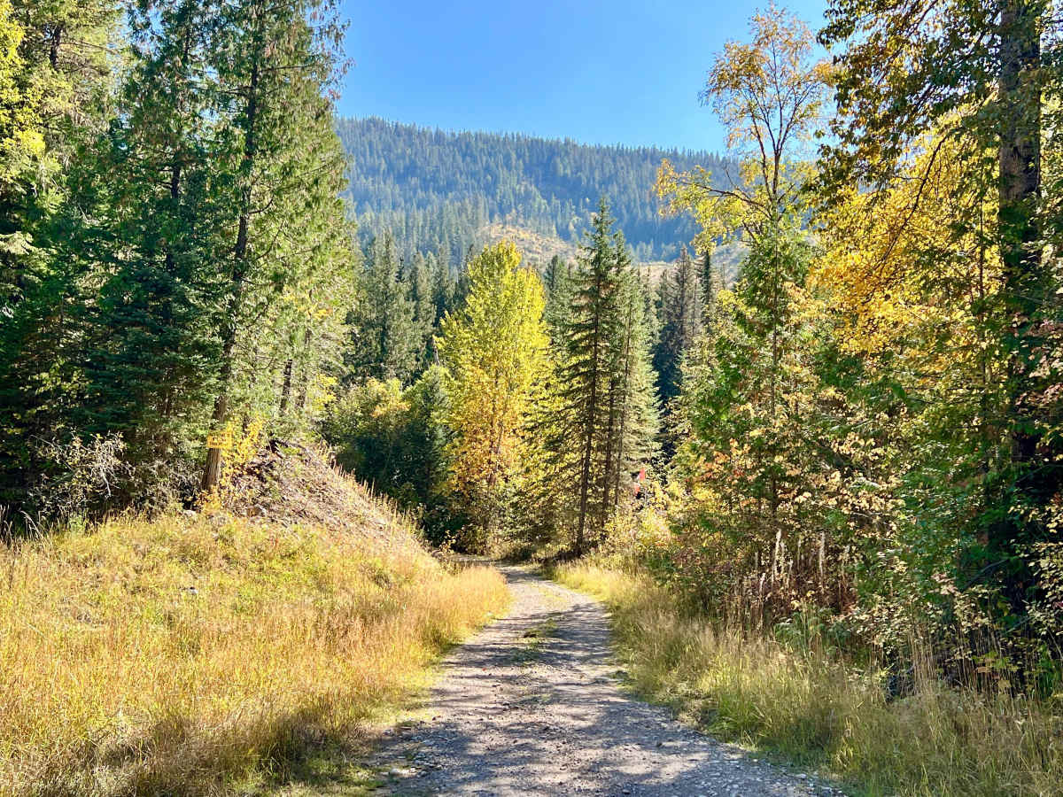
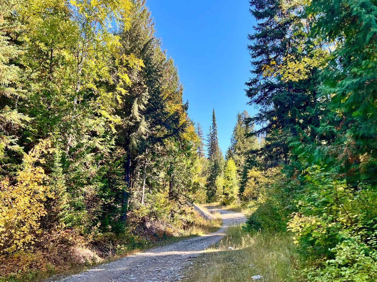
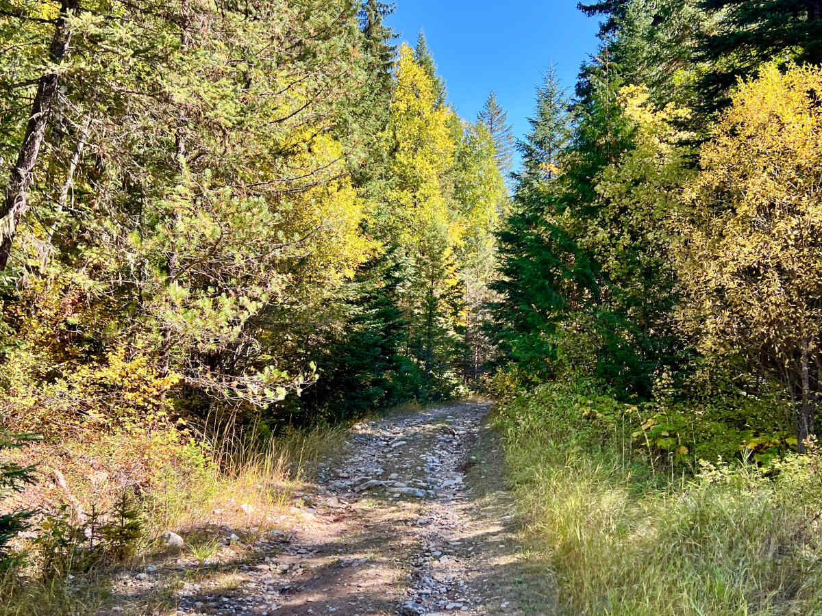
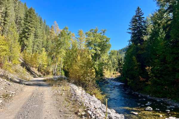
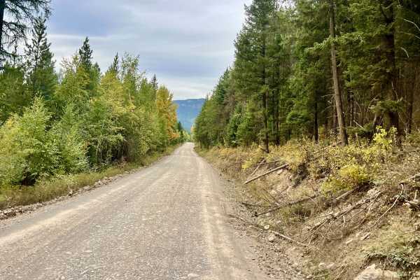
This lightly traveled, narrow route follows a small creek into the canyon. The trail passes through several mud holes, rocky sections, and short, rough hill climbs. A few spring crossings can deepen in wet conditions and require careful tire placement. The route ends for full-size vehicles at a washed-out culvert. The trail continues beyond this point, but the remaining section is suitable only for ATVs, narrow UTVs, or dirt bikes. A turnaround area for larger vehicles is located a short distance before the washed-out culvert. Few places to turn around exist along the trail, so drivers should watch for suitable pull-off areas as they proceed. In some sections, a vehicle may need to reverse a considerable distance to allow another user to pass. There is no cell service; download offline maps before entering the canyon. No hunting or camping is permitted along the trail according to the signage at the entrance.
Difficulty
A narrow, high-clearance 4WD vehicle is recommended. The trail is generally manageable but includes mud holes, rocky sections, short climbs, and potentially deeper spring crossings. Full-size pickups and wide SUVs may have difficulty navigating the narrow route and should turn around at the designated area before the washed-out culvert.

 Offroad