Trail Overview
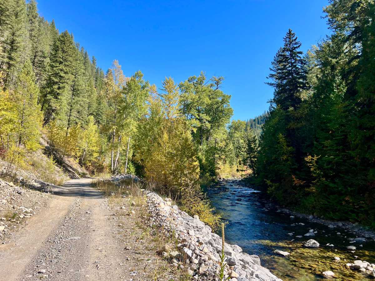
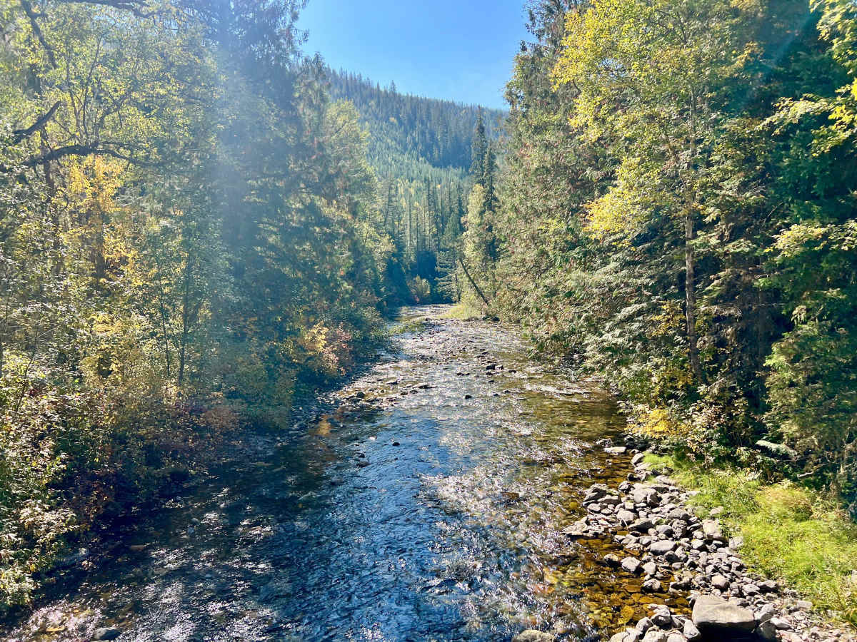
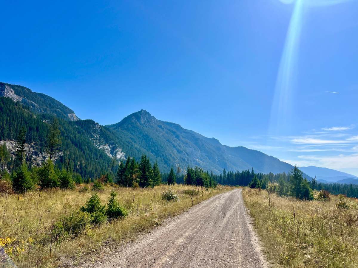
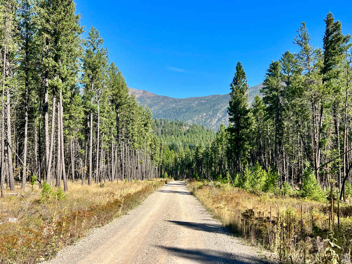
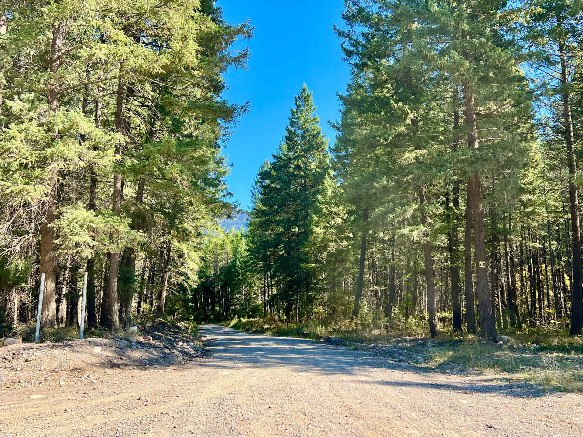
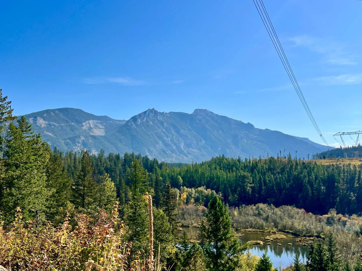
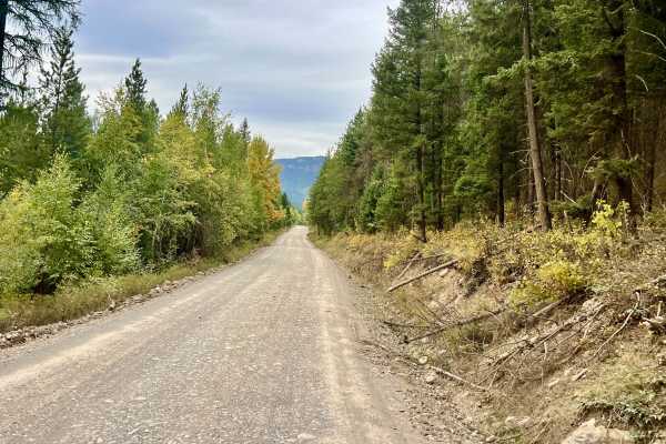
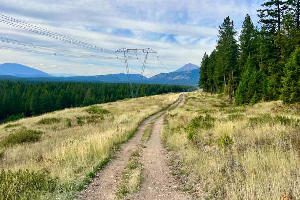
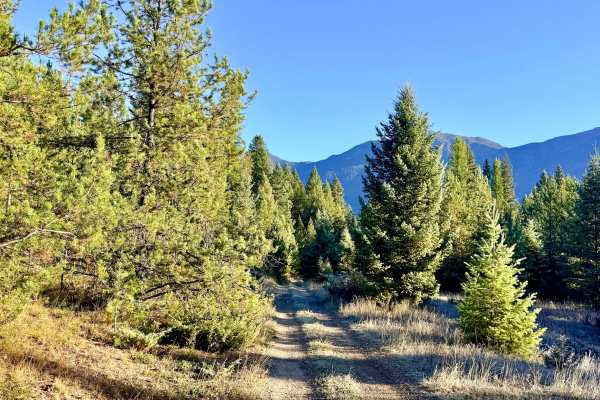
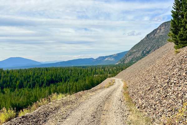
This scenic route climbs into the Lizard Range along Big Sand Creek. The lower portion begins as a relatively smooth, well-graded road and is suitable for easier travel. As the route continues farther up the creek, it becomes progressively narrower, rockier, and more technical. The trail includes several muddy pits, minor rocky climbs, and a few narrow shelf sections. None of the obstacles are especially severe under dry conditions, but the route can become more challenging after rain or during spring runoff. Big Sand Creek provides continuous views of the creek, with attractive narrow sections surrounded by trees. Autumn travel can be especially scenic when the surrounding foliage changes color. Several random campsites and occasional spur roads are located along the route. The trail eventually ends at a posted seasonal closure. Vehicles should not continue beyond the closure unless the signage specifically indicates that the route is open to motorized travel. Refer to the posted signs at the trail end for permitted access dates and seasonal restrictions. Cell service is unreliable; download offline maps before leaving service.
Difficulty
Four-wheel drive may be useful in muddy sections and on the rockier upper portion of the route. Some sections of narrow shelf road in a couple of places run right along the river's edge. There are muddy sections, deep potholes, and rocky creek crossings.