Galloway Forest Service Road

Total Miles12.2
Technical Rating
1Easy
Best TimeSpring, Summer, Fall, Winter
Trail TypeFull-Width Road
Accessible By
Open Trail Map

Trail Overview

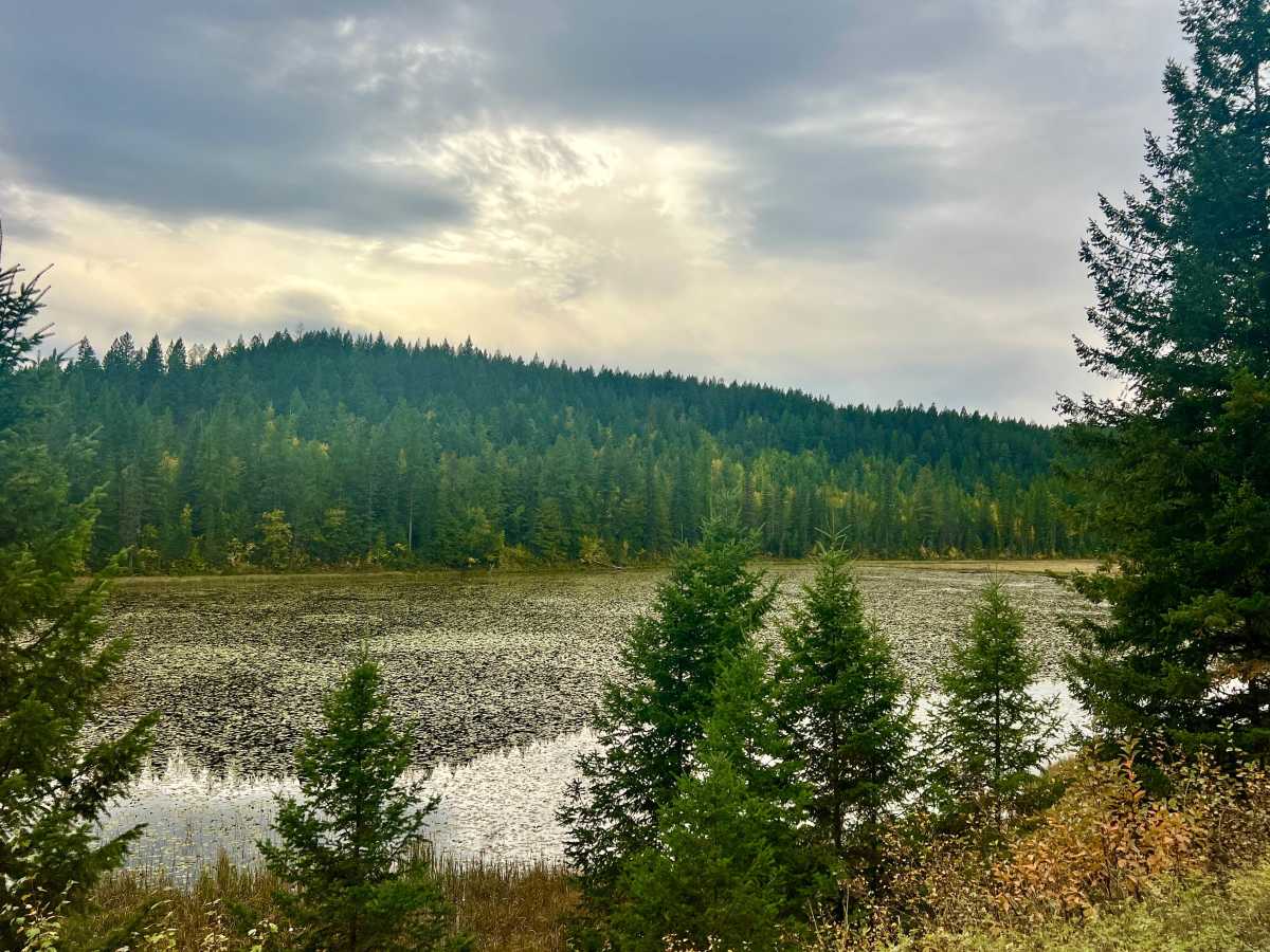
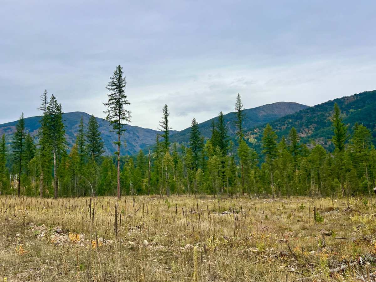
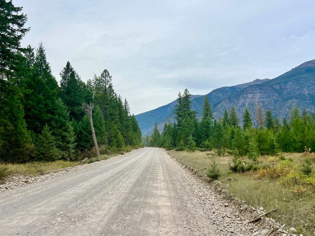
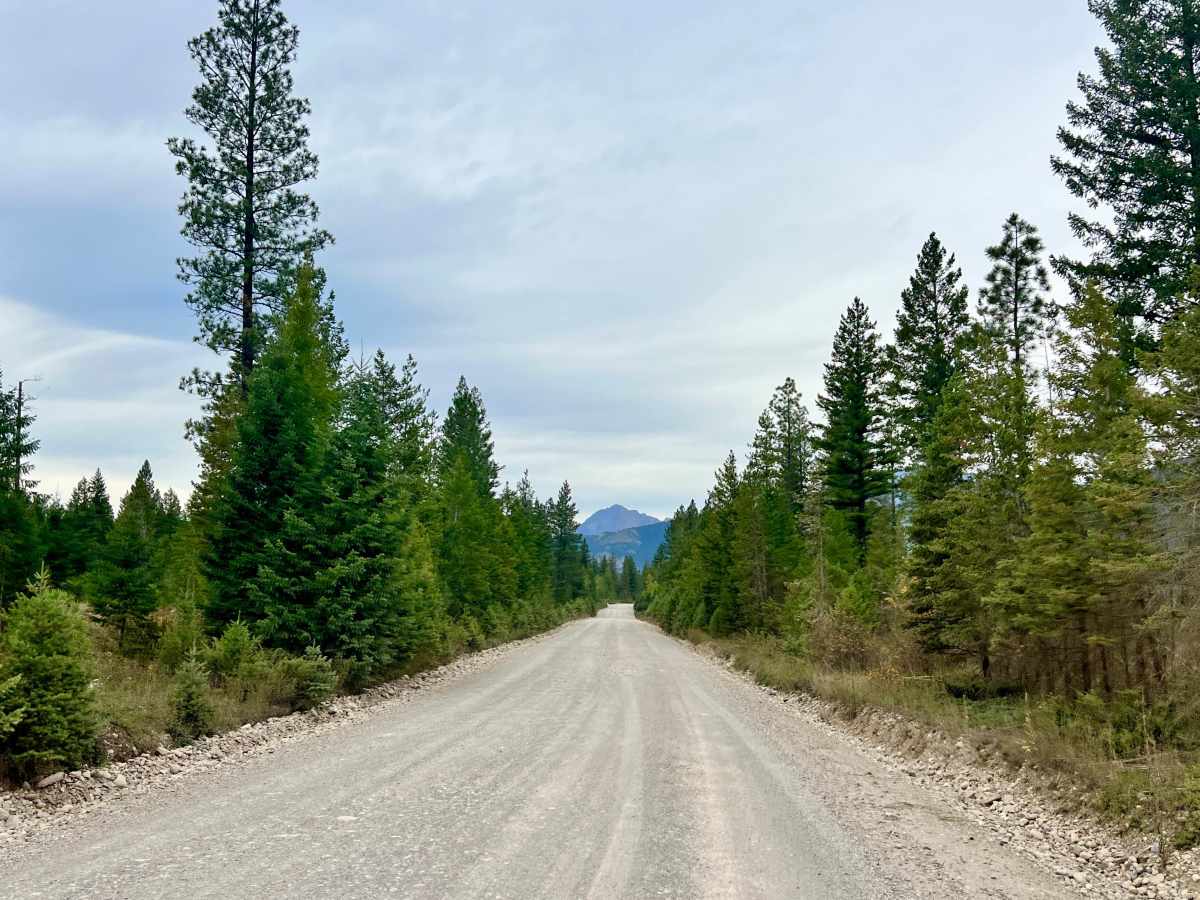
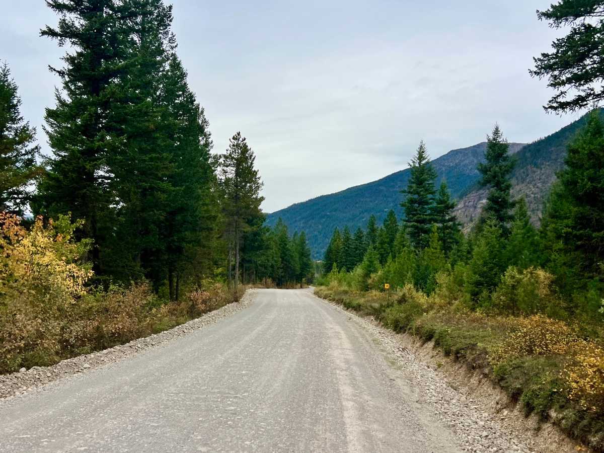
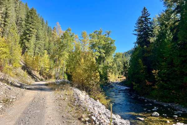
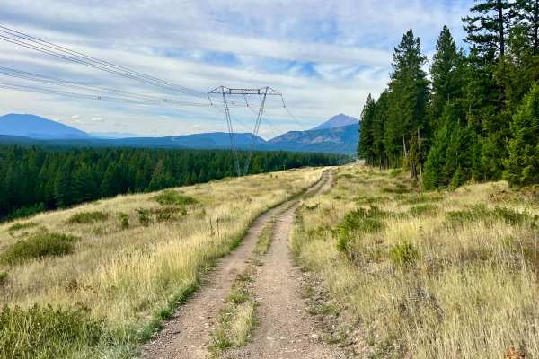
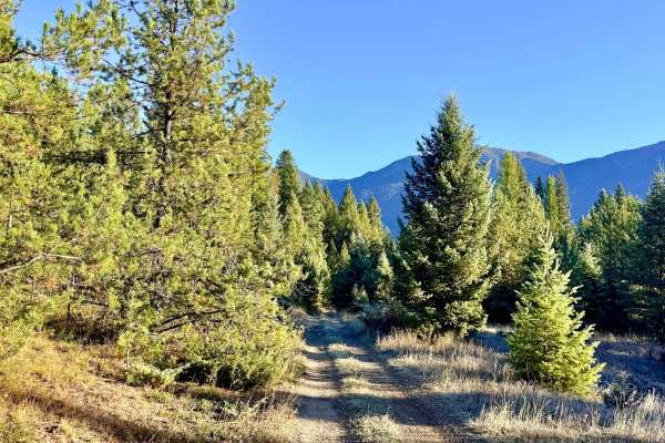
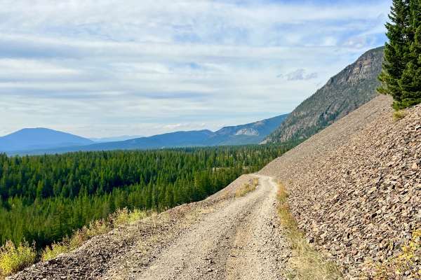
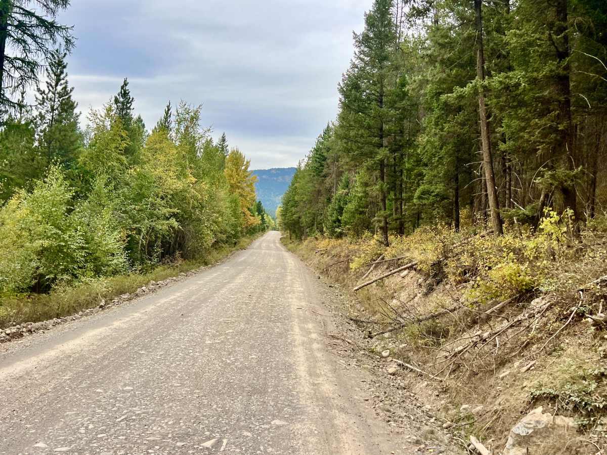
This wide, smooth, well-graded gravel route serves as a main artery for many surrounding trails. The road twists through aspen groves, pine forest, and open clearings, with mountain views appearing whenever the trees open up. Several attractive lakes are located along the route. Some are covered with lily pads, while others have exceptionally clear water that allows visitors to see the lake bottom. Deer are commonly seen, and elk may also be present. The southern end is closer to a rock quarry and may have substantial industrial traffic, including heavy equipment and large dump trucks. A summer camp is also located near the southern portion of the road; reduce speed and watch carefully for children during peak operating season. Farther north, the route passes private property, cabin rentals, and additional lakes. Exercise extra caution near driveways, cabins, pedestrians, and recreational users. There is no cell service; download offline maps before entering the area.

Photos of Galloway Forest Service Road

Difficulty

The road is suitable for standard passenger vehicles in normal dry conditions. The surface is mostly smooth and graded, although some sections can become dusty, particularly during dry weather.

Technical Rating

1

Galloway Forest Service Road Trail can be accessed by the following ride types:

  • High Clearance
  • Full Width

Galloway Forest Service Road Map

The onX Offroad Difference

onX Offroad combines trail photos, descriptions, difficulty ratings, width restrictions, seasonality, and more in a user-friendly interface. Available on all devices, with offline access and full compatibility with CarPlay and Android Auto. Discover what you're missing today!

Open Trail Map