Trail Overview
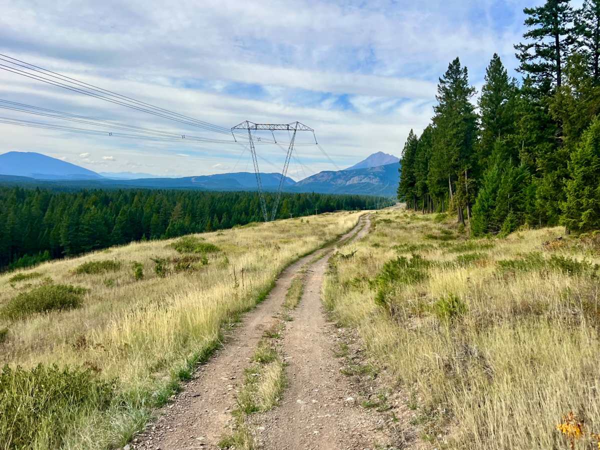
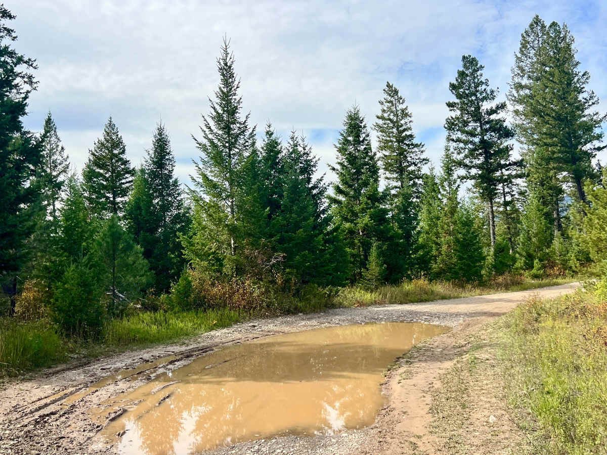
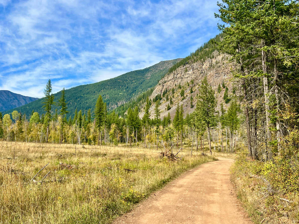
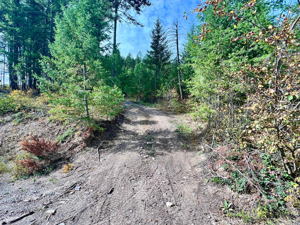
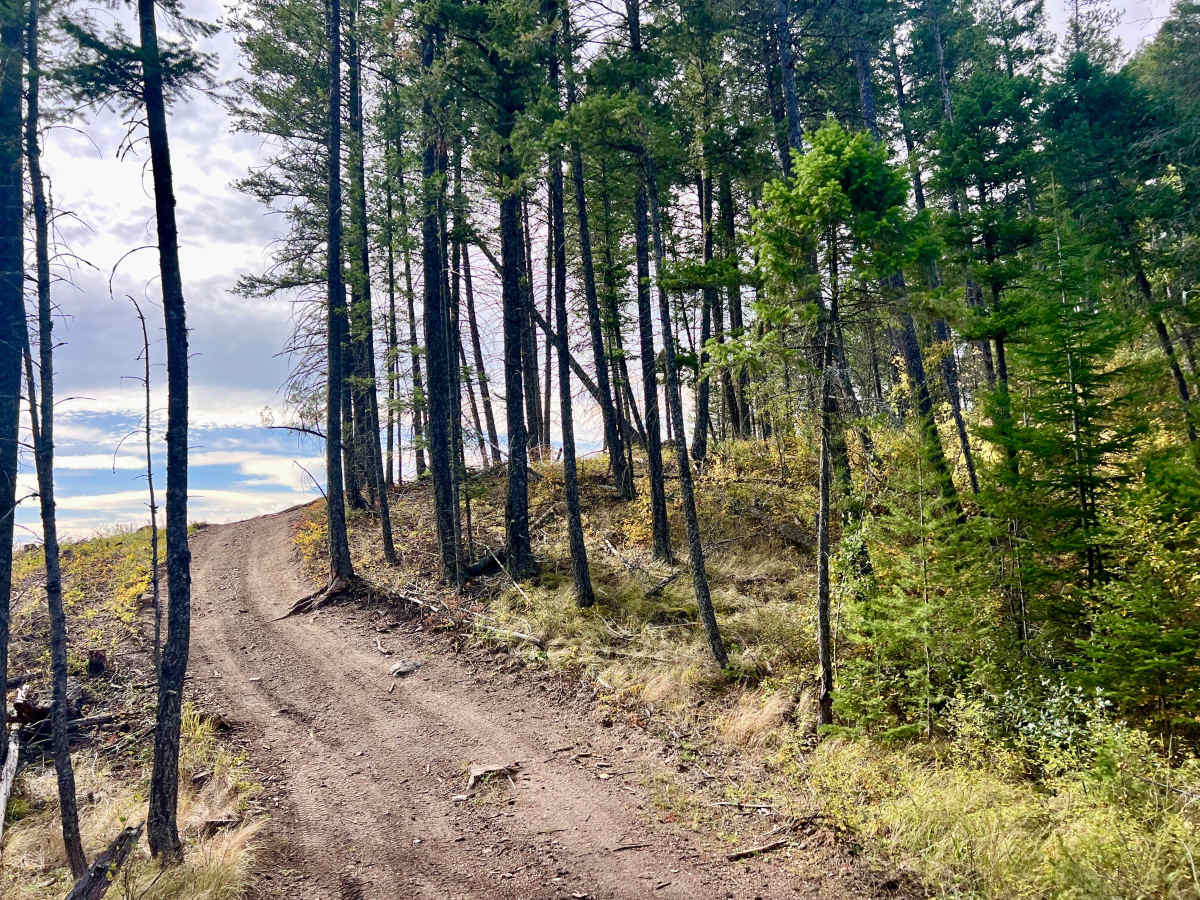
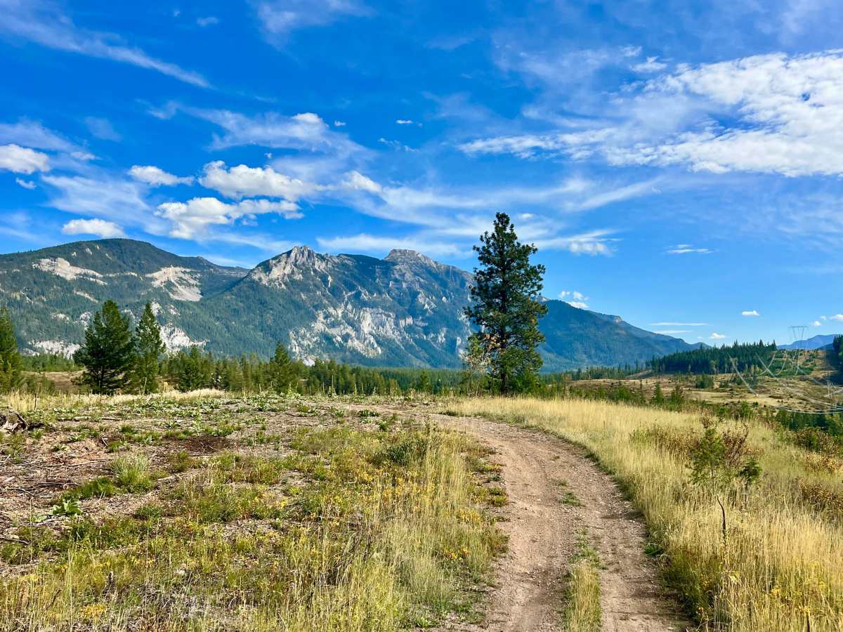
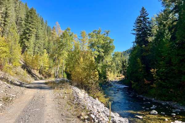
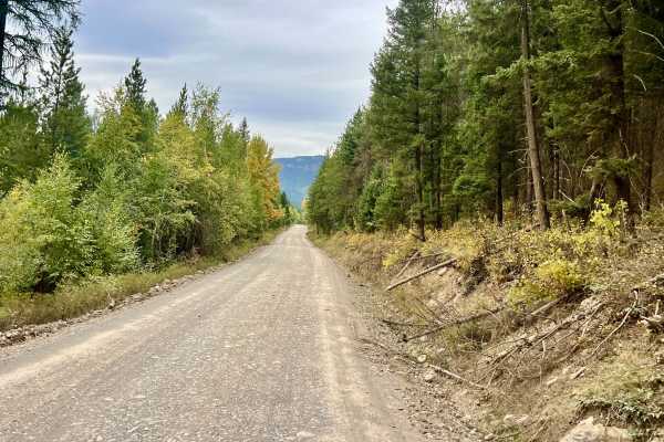
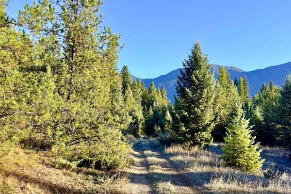
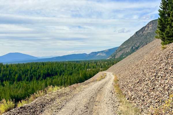
This is a short, scenic access route through the foothills and surrounding forest. The trail passes through a mix of open terrain and denser wooded sections, with excellent views of the surrounding mountains as it winds through the hills. Numerous narrow ATV trails branch off in several directions, making this a useful access route for exploring the surrounding trail network. Random campsites are scattered among the trees, although users should camp only in established or permitted areas. The route includes frequent mud, puddles, and potholes. Near the southern end, it briefly travels alongside high-voltage power lines before continuing through the foothills. The southern entrance contains the most difficult section and is the basis for the Difficulty 3 rating. It is a narrow hill climb or descent through tight trees. You can bypass this entrance by joining the route farther north from the Lizard Back Lake Trailhead. Wildlife is common in the area, and travelers may see deer moving through the forest or crossing the trail. Cell service is intermittent, with approximately one bar in some locations; do not rely on it for emergencies. Download offline maps before entering the area because the many ATV trails can make navigation confusing.
Difficulty
The narrow southern entrance is more technical, with a hill climb through tight trees and may require careful tire placement and additional clearance. Drivers who want to avoid this section can enter from the north via the Lizard Back Lake Trailhead. Ruts and Mud holes along the route, especially in the wetter seasons.

 Offroad