Trail Overview
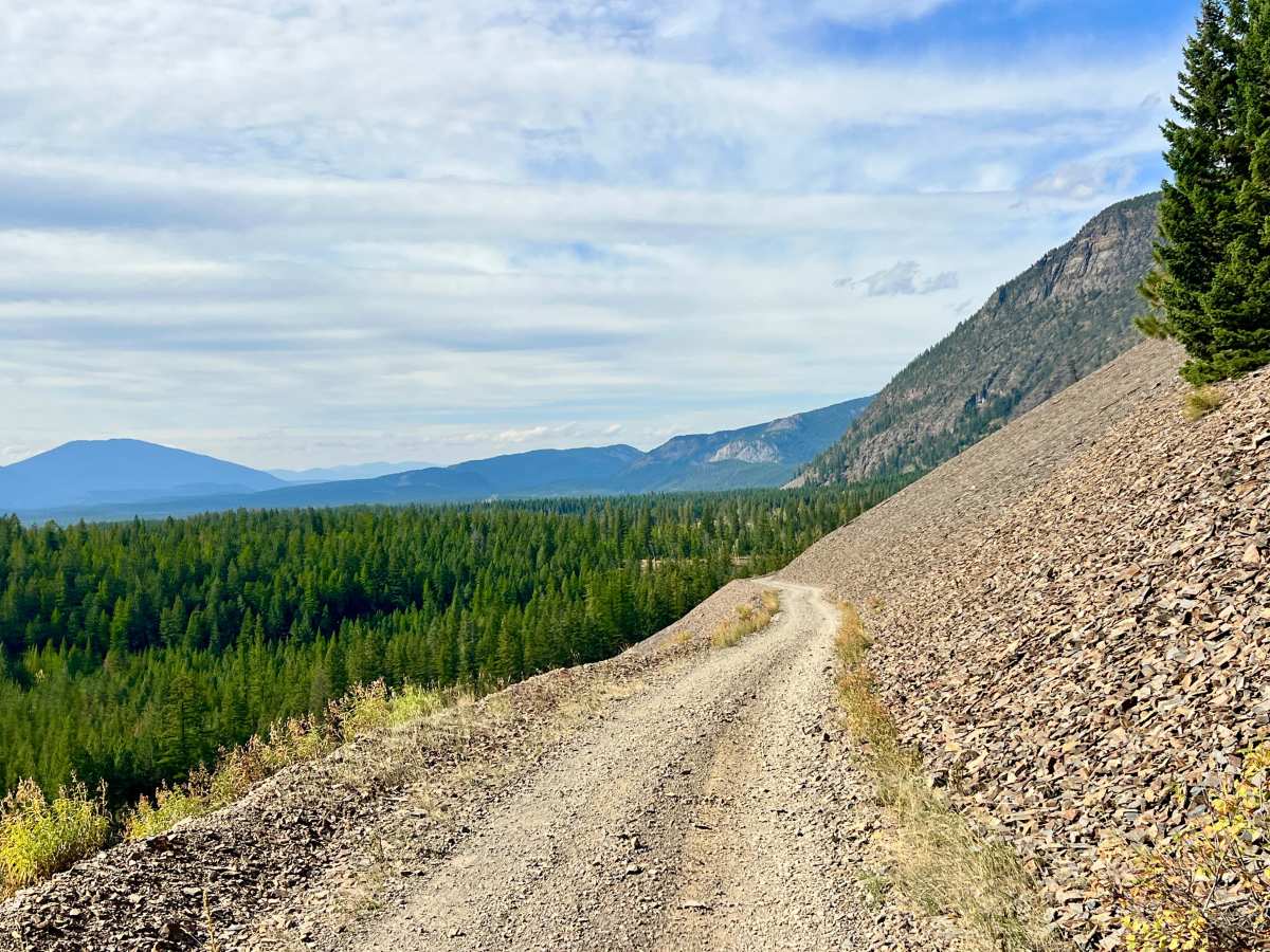
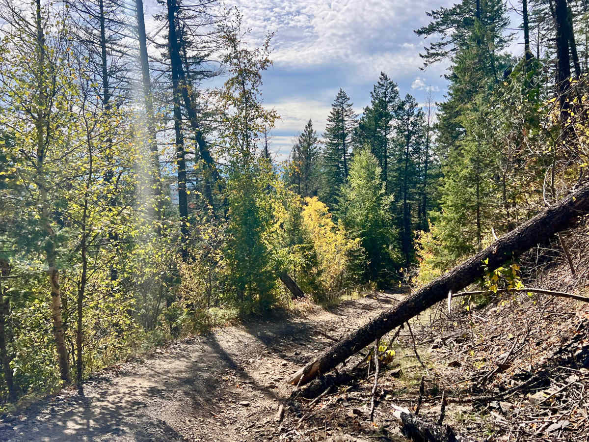
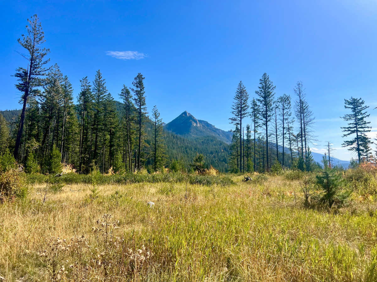
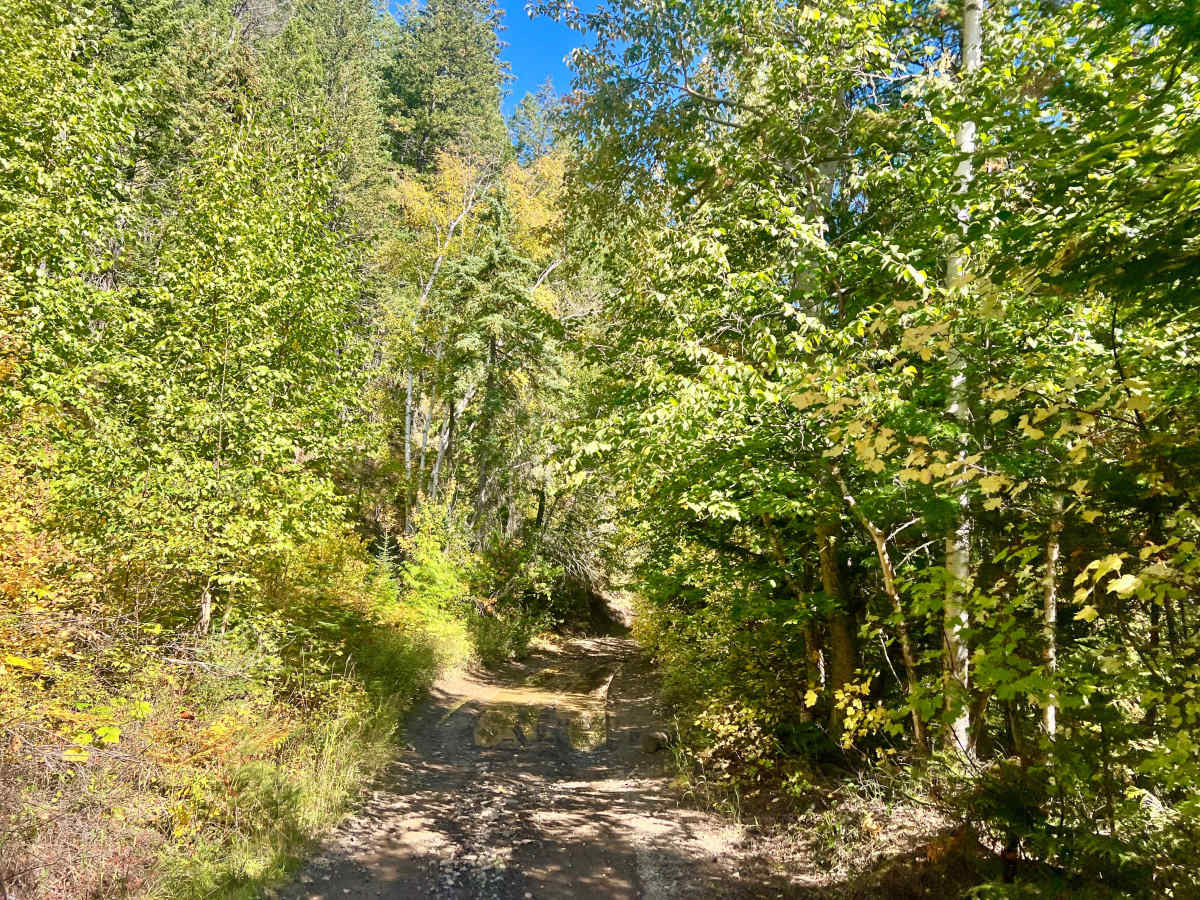
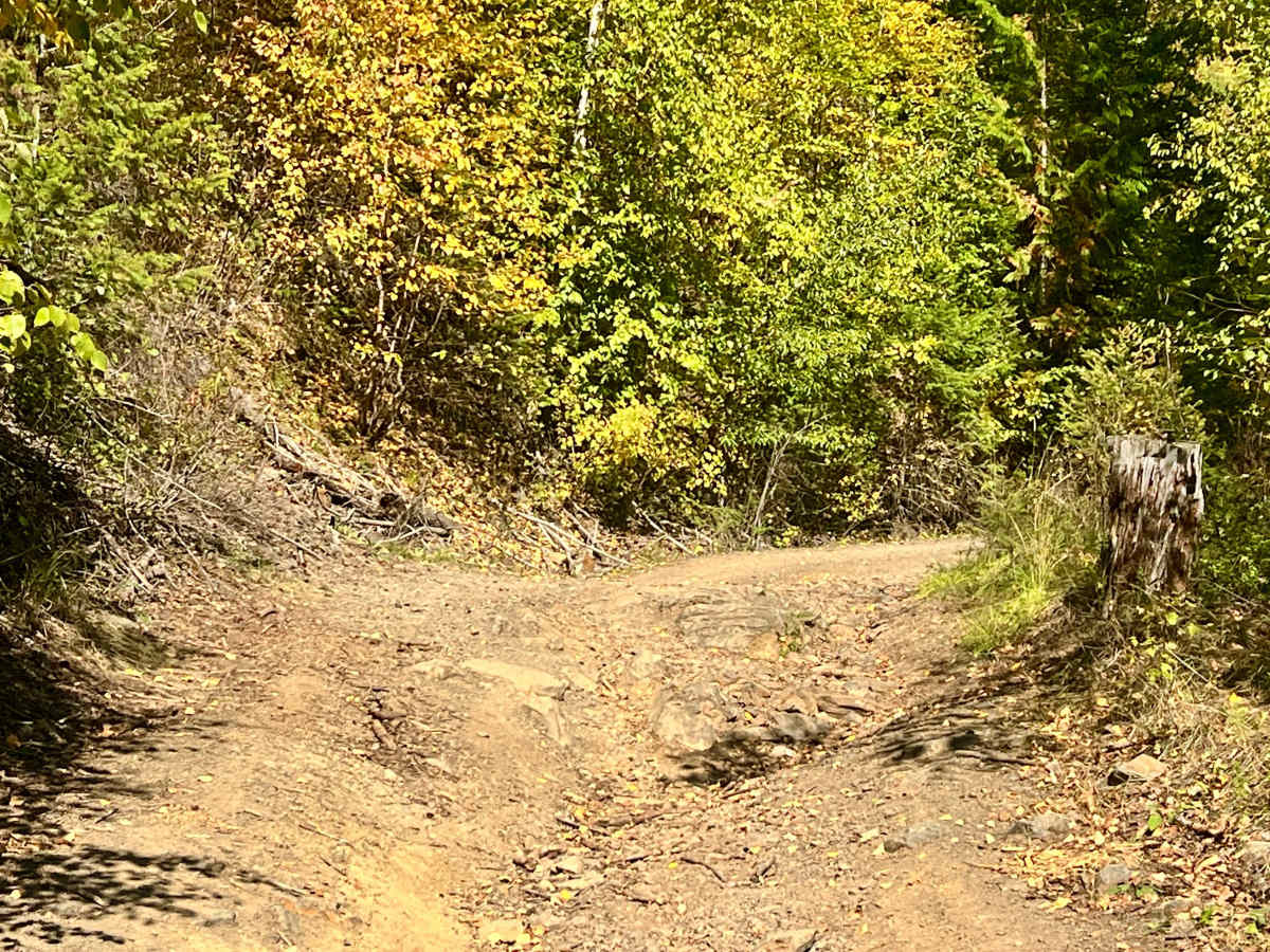
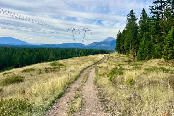
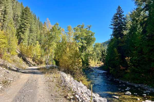
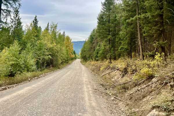
This route climbs from the lower canyon into the surrounding mountains and ends at the hiking trailhead near the beginning of the switchbacks. The lower portion of the route is relatively easier, with more gradual terrain and additional parking space. Farther uphill, the trail becomes considerably more technical, with larger rock climbs, boulder scrambles, off-camber sections, deeper washouts, and a narrow shelf-road section. The difficulty can change significantly depending on washout depth and recent weather. At the upper trailhead, there is room for approximately three vehicles. Larger groups or full-size vehicles may prefer to park in the bigger clearing farther down the hill. This lower clearing offers more parking space and may allow limited camping where permitted, but it requires a longer walk to the hiking trailhead. The route is scenic throughout, transitioning from the lower canyon into open hillsides and mountain terrain. Clearings provide views of the valley and surrounding mountains. There is no cell service; download offline maps before entering the area.
Difficulty
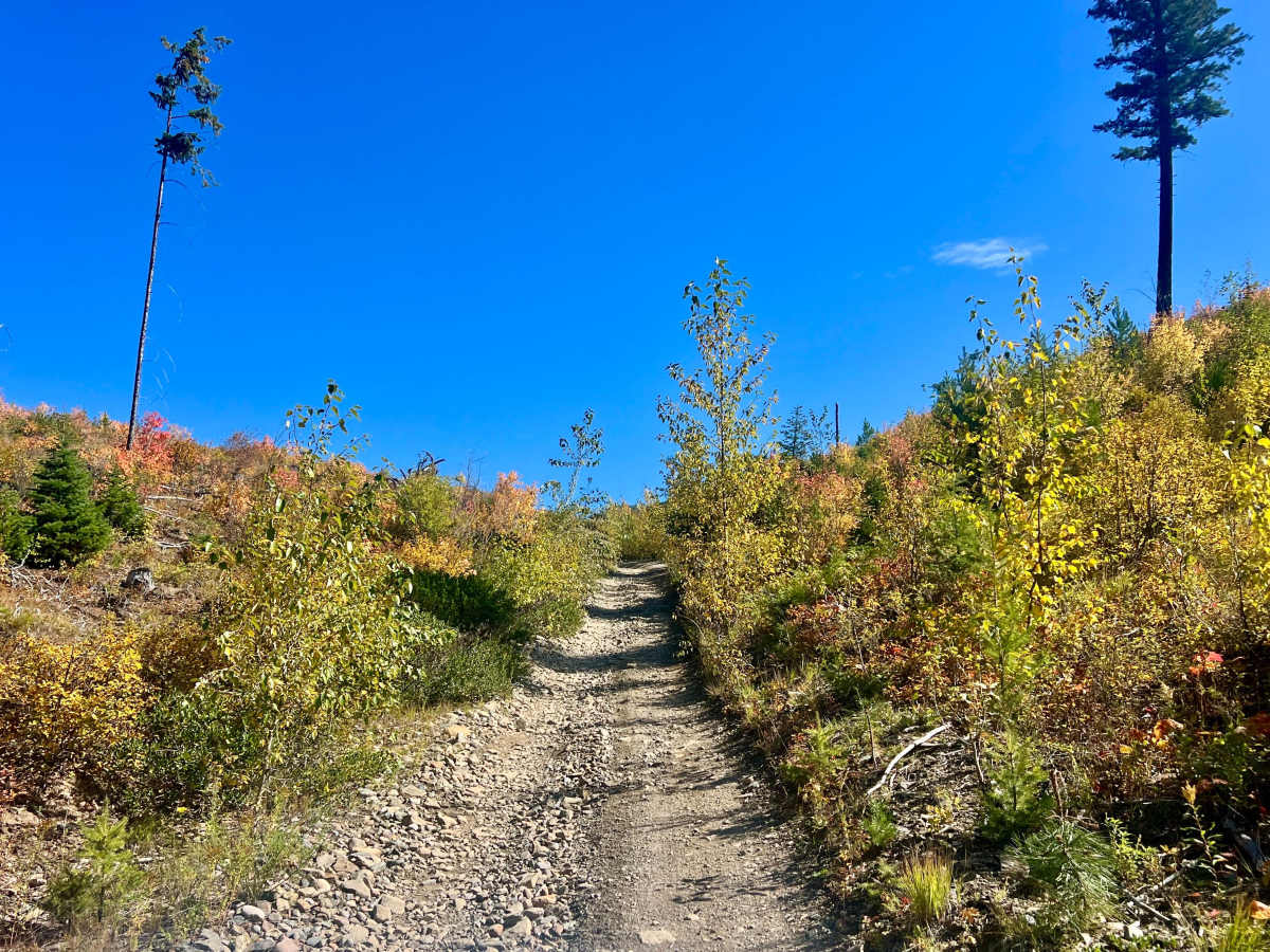
Use extreme caution on the shelf-road section and off-camber terrain. The end of the trail is narrow and has a longer, loose, rocky uphill climb with one or two switchbacks.