
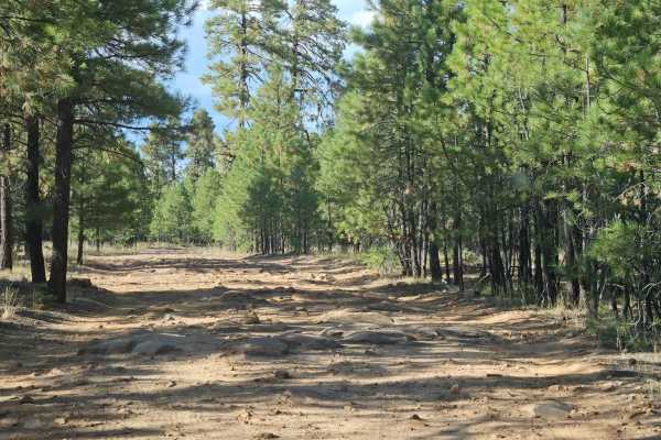
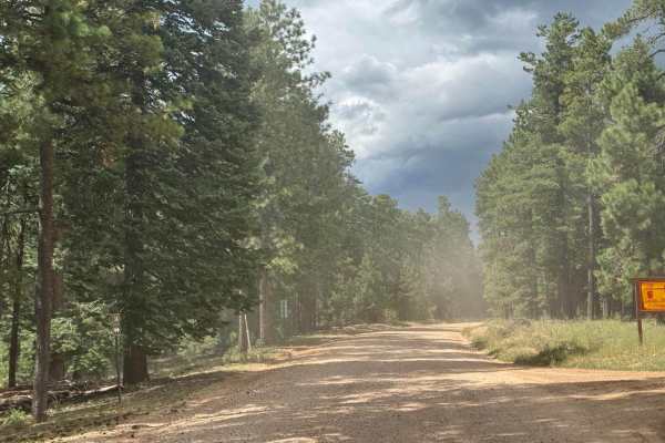
Dirt Bike Trails
Near Young, Arizona
Explore All Dirt Bike Trails Near Young, Arizona
Dirt Bike Trails Near Young, Arizona
Discover the best dirt bike trails near you. Browse trail maps, check difficulty ratings, and find your next adventure — whether you're looking for a quick ride or an all-day expedition.
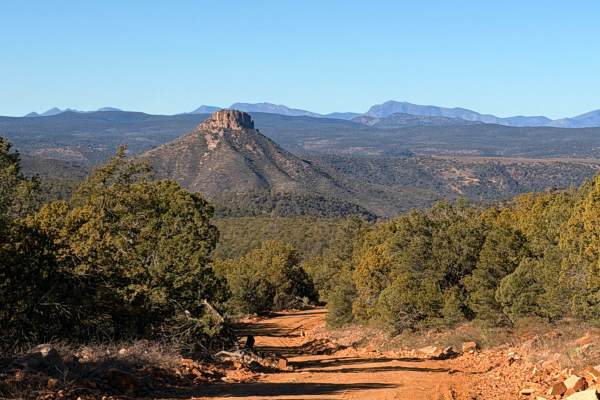
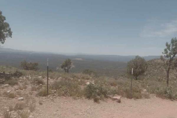
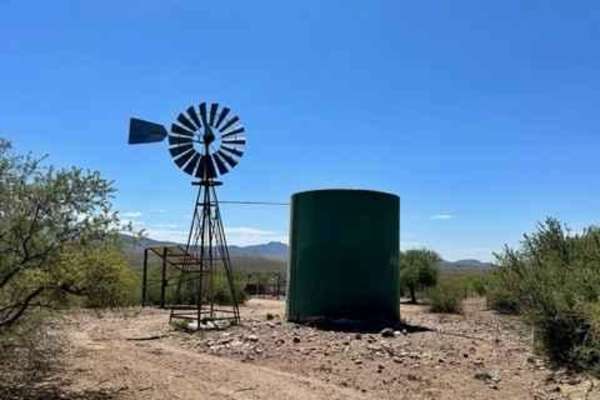
Buzzard Roost - FS 486
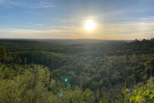
This trail is a scenic route in the Tonto Forest off State Route 288, approximately nine miles south of Young, Arizona, with expansive views of pine forest and Jerky Butte forming a prominent backdrop. This is a straightforward route that can be completed in two-wheel drive and runs roughly nine mil...
Learn more about Buzzard Roost - FS 486
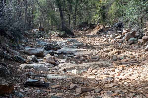
Cow Flat Road - FS 329
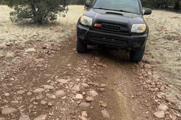
This trail is very rugged with deep inclines, large boulders, and tight sections weaving through the trees. The route winds repeatedly in and out of washes and back up onto open, grassy mesas. Expect several large boulder rock gardens where good clearance and careful tire placement are necessary. Th...
Learn more about Cow Flat Road - FS 329
Cherry Creek Road
Coming from the north, the trail starts on the dirt and sometimes paved Globe-Young Highway 288. You turn onto a well-marked side road, NF-203. Descending switchbacks, the main challenges are bowling ball-sized rocks that can catch the undercarriage of a vehicle. Most vehicles with slightly oversize...
Learn more about Cherry Creek Road
FDR 848
Very scenic drive with a great view and access to the nice creek to cool off in on hot days. This trail is very mild and friendly to all high clearance vehicles up to the first water crossing, although it would be more difficult when wet. After the water crossing, there are some narrow spots with le...
Learn more about FDR 848
PV Wilson
This rugged trail winds through open high desert and dense pockets of juniper, offering a dynamic mix of terrain. Expect rocky patches, loose climbs, and occasional narrow sections requiring steady navigation. Sweeping views of rolling hills provide visual reward, while the trail's rough texture and...
Learn more about PV Wilson
Bear Head Springs Segment - FS 609
This is a scenic trail that offers access to other trails in the Tonto National Forest, or can take you from Route 288 over to the Tonto Basin north of Lake Roosevelt. There are some graded sections, loose rock, small inclines, portions of shelf road, and a couple of rocky sections less than 12 inc...
Learn more about Bear Head Springs Segment - FS 609
Tow Strap
This trail is relatively easy in a stock truck. It is a steep incline of 2.5 miles. Closer to the top, the trail has a couple of tight technical turns. Once you reach the top of the mountain, it is a sweet easy trail. This route will take you to an old cowboy camp; its earliest date is 1972. If you'...
Learn more about Tow Strap
Aztec Peak
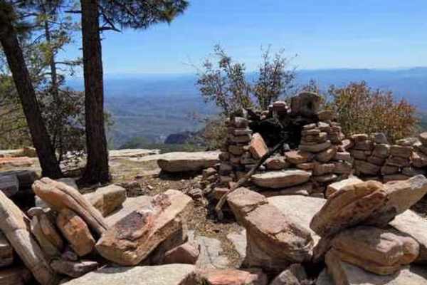
Aztec Peak trail is an easy road to a fire tower at the top of a 7,748' mountain. The road follows Workman Creek while accessing several Forest Service recreation areas and trailheads. Almost any vehicle can do this road.There is a Forest Service gate part way up the trail that can be closed when sn...
Learn more about Aztec Peak
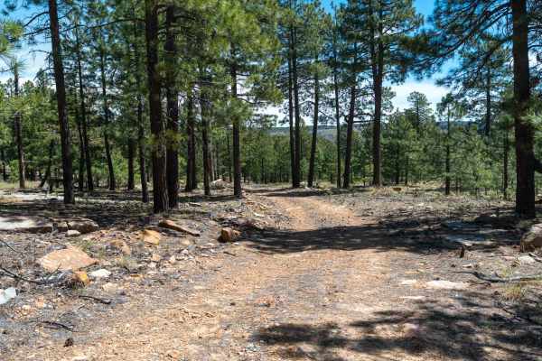
Diamond Point Lookout
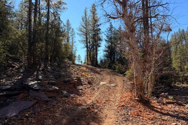
This long, dusty trail cuts through the ponderosa pines and junipers common in the shadow of the Mogollon Rim. The main road is well graded and free of obstacles. There are several offshoots if you are looking for a minor challenge. As this trail lowers in elevation, you'll come to Diamond Point Loo...
Learn more about Diamond Point Lookout

Dupont Cabin
This moderate trail features dirt and rocky terrain with step-like inclines, descents, and tight switchbacks that may challenge longer vehicles. As you ascend, the landscape transitions into lusher greenery, offering a striking contrast to the lower desert. The historic DuPont Cabin awaits along the...
Learn more about Dupont Cabin
Forest Lakes to Sheep Creek Point
Forest Road 260B from Forest Lakes to Sheep Creek Point is a 5-mile out-and-back through Pondarosa forest to fantastic views from the Mogollon Rim to the valleys below. The road starts out rather easy, but slowly gets better (as in more fun) as it gets closer to the Mogollon Rim. There are signific...
Learn more about Forest Lakes to Sheep Creek Point
Promontory Butte - FS 410
This wide, graded dirt road leads out to Promontory Butte and offers a very easy, scenic drive through a Ponderosa Pine forest. There are plenty of dispersed camp spots along the way, with only a few washouts creating mild dips in the road. The surface is mostly dirt with a few sandy sections. As yo...
Learn more about Promontory Butte - FS 410
Dye Loop
***Area can have many spots that vary on needing to be street legal or not to ride on. Verify with USFS if not street legal on new changes*** This route can be dusty with heavy traffic and changes with the summer monsoon storms and winter snowpack. Keep in mind that this route does get frequent heav...
Learn more about Dye Loop
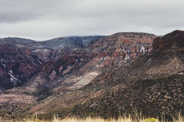
Rim Road East
Like Rim Road West, Rim Road East offers tremendous views from atop the Mogollon Rim. Where RRW is passable by all vehicles, Rim Road East is slightly more technical due to erosion and will require higher ground clearance if traveling in a 2WD vehicle. This is an extremely serene route, and although...
Learn more about Rim Road East
Murphy Ranch - FS 487A
This easy dirt two-track branches off from Aztec Peak and leads out to an old ranch featuring a beautiful red cabin and a historic apple orchard. The ranch is private property and fenced, so please respect the landowner by not going beyond the gate. The road is mostly smooth with some scattered rock...
Learn more about Murphy Ranch - FS 487A
Greenback
Greenback Road is an easy dirt route winding through high desert terrain with sweeping views of surrounding hills and plateaus. The surface is well-maintained and mostly flat, making it accessible for most 4WD and high-clearance 2WD vehicles. While the road is generally wide enough for two vehicles ...
Learn more about Greenback
FS 895
This level two track is in great condition and consists mostly of smooth dirt with a few small rocky sections mixed in. The trail begins at A Cross Road and climbs gradually up to Thompson Mesa on mostly narrow, rocky shelf roads, offering great views as you wind your way uphill. There are a few swi...
Learn more about FS 895
FR 167
Starting from the north side, you will climb a ridge and then drop down a rutted descent, into and across a rocky wash, and back up the other side. As you reach the backside, this is where you can start to make out Lake Roosevelt in the distance, as well as Mt. Ord to the south. You will ride this r...
Learn more about FR 167
Natural Drainage Rd 488
Drainage Road 488 is a short, but very rewarding trail that will lead you to a scenic lookout over Roosevelt Lake. The first thing you will encounter is a set of campsites followed by a single-lane bridge that crosses over a creek. Once over the bridge, the trailheads down the mountain following the...
Learn more about Natural Drainage Rd 488
FS 9708J
This rocky and sandy two-track runs parallel to the rim, winding its way through a forest of large ponderosa pines. The trail features a few small rock ledges and becomes overgrown in sections, giving it a lightly traveled feel. As you continue, the road gradually narrows and becomes less defined be...
Learn more about FS 9708J
ATV trails near Young, Arizona
Explore ATV-friendly trails near you. These trails are accessible for vehicles up to 50 inches wide, perfect for ATVs and smaller off-road machines.
Buzzard Roost - FS 486
This trail is a scenic route in the Tonto Forest off State Route 288, approximately nine miles south of Young, Arizona, with expansive views of pine forest and Jerky Butte forming a prominent backdrop. This is a straightforward route that can be completed in two-wheel drive and runs roughly nine mil...
Learn more about Buzzard Roost - FS 486
Cow Flat Road - FS 329
This trail is very rugged with deep inclines, large boulders, and tight sections weaving through the trees. The route winds repeatedly in and out of washes and back up onto open, grassy mesas. Expect several large boulder rock gardens where good clearance and careful tire placement are necessary. Th...
Learn more about Cow Flat Road - FS 329
Cherry Creek Road
Coming from the north, the trail starts on the dirt and sometimes paved Globe-Young Highway 288. You turn onto a well-marked side road, NF-203. Descending switchbacks, the main challenges are bowling ball-sized rocks that can catch the undercarriage of a vehicle. Most vehicles with slightly oversize...
Learn more about Cherry Creek Road
FDR 848
Very scenic drive with a great view and access to the nice creek to cool off in on hot days. This trail is very mild and friendly to all high clearance vehicles up to the first water crossing, although it would be more difficult when wet. After the water crossing, there are some narrow spots with le...
Learn more about FDR 848
UTV/side-by-side trails near Young, Arizona
Find UTV and side-by-side trails near you. These trails accommodate vehicles up to 60 inches wide, ideal for UTVs, side-by-sides, and wider off-road rigs.
Buzzard Roost - FS 486
This trail is a scenic route in the Tonto Forest off State Route 288, approximately nine miles south of Young, Arizona, with expansive views of pine forest and Jerky Butte forming a prominent backdrop. This is a straightforward route that can be completed in two-wheel drive and runs roughly nine mil...
Learn more about Buzzard Roost - FS 486
Cow Flat Road - FS 329
This trail is very rugged with deep inclines, large boulders, and tight sections weaving through the trees. The route winds repeatedly in and out of washes and back up onto open, grassy mesas. Expect several large boulder rock gardens where good clearance and careful tire placement are necessary. Th...
Learn more about Cow Flat Road - FS 329
Cherry Creek Road
Coming from the north, the trail starts on the dirt and sometimes paved Globe-Young Highway 288. You turn onto a well-marked side road, NF-203. Descending switchbacks, the main challenges are bowling ball-sized rocks that can catch the undercarriage of a vehicle. Most vehicles with slightly oversize...
Learn more about Cherry Creek Road
FDR 848
Very scenic drive with a great view and access to the nice creek to cool off in on hot days. This trail is very mild and friendly to all high clearance vehicles up to the first water crossing, although it would be more difficult when wet. After the water crossing, there are some narrow spots with le...
Learn more about FDR 848
The onX Offroad Difference
onX Offroad combines trail photos, descriptions, difficulty ratings, width restrictions, seasonality, and more in a user-friendly interface. Available on all devices, with offline access and full compatibility with CarPlay and Android Auto. Discover what you're missing today!
Open Trail Map