
Dirt Bike Trails
Near Witts Springs, Arkansas
Explore All Dirt Bike Trails Near Witts Springs, Arkansas
Dirt Bike Trails Near Witts Springs, Arkansas
Discover the best dirt bike trails near you. Browse trail maps, check difficulty ratings, and find your next adventure — whether you're looking for a quick ride or an all-day expedition.
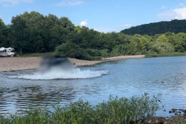
Flat Woolum
Starting off near Flat Arkansas, you make your way North towards Mt. Hersey and then follow the main gravel road down to Woolum. Please keep in mind of the water crossings and make sure to check water levels at all water crossings. Rain can change these crossings and water can be deep at certain tim...
Learn more about Flat Woolum
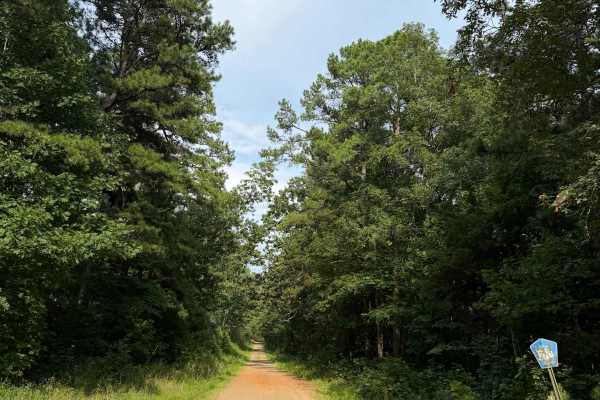
East Fork Bypass
This trail is a great connecting trail between the Wilderness Trail and Highway 27. You can also use this trail to fully connect you between Highway 27 and Highway 95 towards Scotland. This is a very easy scenic drive that has several trails branching off of it. Some sections are a bit rutted out at...
Learn more about East Fork Bypass
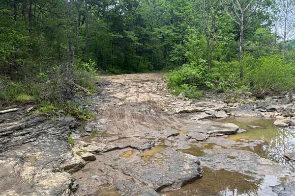
Sulphur Road
Sulphur Road is a fun trail that weaves through the Ozark National Forest. This trail features mild terrain that may require 4WD. Along this route, you will find a few small dispersed campsites with fire rings, as well as a shallow water crossing on the south end of the trail.
Learn more about Sulphur Road
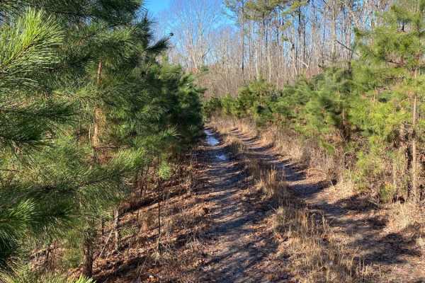
Middle Fork Illinois Bayou
Middle Fork Illinois Bayou is an exciting, tight-clearance trail perfect for four-wheel-drive vehicles and SxSs looking for a scenic descent into the heart of the Ozarks. Stretching nearly four miles, this route offers a challenging mix of steep elevation changes, ranging from 740 feet to nearly 1,7...
Learn more about Middle Fork Illinois Bayou
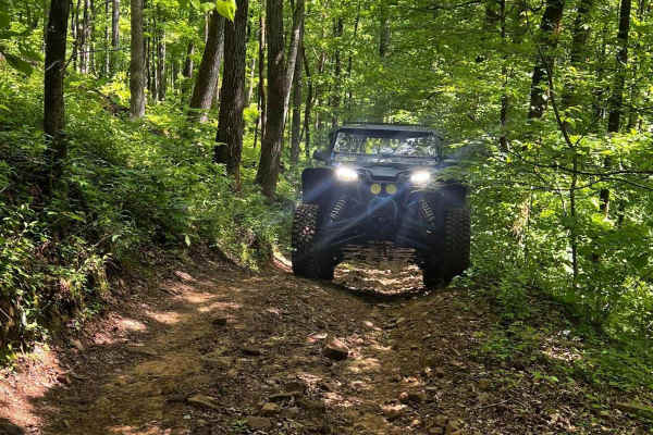
NFS 93216B
NFS 93216B, going west, begins at 93069A, which parallels the North Fork of the Illinois Bayou. The first 1/8-mile is flat, then quickly starts a climb with a few switchbacks and some off-camber sections. The trail is made up of large, loose rock and dirt and is narrow with no place to pass until yo...
Learn more about NFS 93216B
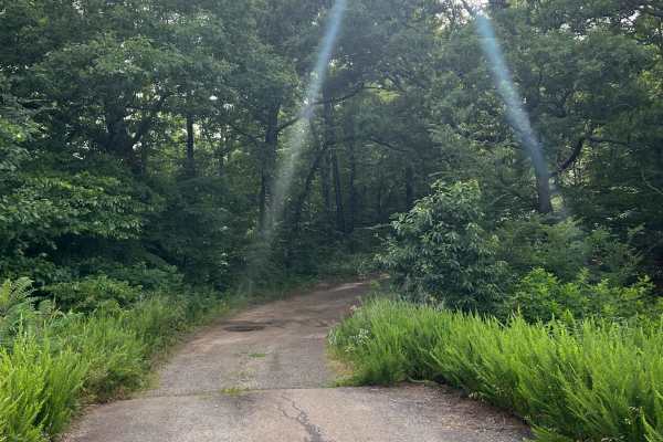
Gunter
This in-and-out route begins off Highway 7. The first three miles follow an easy dirt road before narrowing into a tighter trail that ends at an open mountaintop with a scenic view. Several camping areas and additional trail connections are located along the route.
Learn more about Gunter
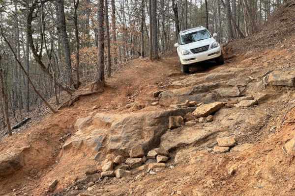
Beindorf
This challenging trail is said to be one of the more difficult public trails in Arkansas. From the south, the trail climbs immediately up the mountain with a narrow trail and large rock ledges. Expect extreme slopes over 25-degrees and ledges up to 38-inches. The hill is nicknamed "Winch Hill" due t...
Learn more about Beindorf
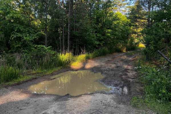
NFS 93052A Baker
93052A is a great connector to the top of 93052F, 1322A, and Adams Mountain Road. Dropping in off Old Hwy 27, the trail gradually descends at first with a few shallow mud holes. The trail has a few switchbacks as its grade steepens. At the 1-mile mark is the upper trailhead of 93052A. The trail turn...
Learn more about NFS 93052A Baker
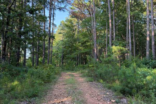
Rocky Branch
This trail has multiple obstacles that could be difficult for some 4x4 vehicles with lower clearance. This is a longer trail that can get worse over time and depending on recent and upcoming weather. This trail has obstacles ranging from creek crossings with large rocks to mud holes that range betwe...
Learn more about Rocky Branch
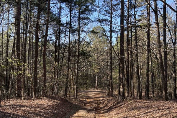
Wilderness Trail
Wilderness Trail is a beautiful scenic drive with several spots to pull off and take some pictures of the panoramic views. Wilderness Trail sits at an elevation of 1,900 feet and has a really nice big dispersed camping spot. It's an easy gravel road with some old logging operations, which is a plus...
Learn more about Wilderness Trail

White Oak Mountain Rd
White Oak Mountain is a beautiful scenic drive with amazing views of the valley and the Ouachita National Forest. White Oak Mountain sits at an elevation of 2,005 feet, There is a small campsite up near the radio towers. Right near the mountain, there is a picnic table that's seen better days but ha...
Learn more about White Oak Mountain Rd
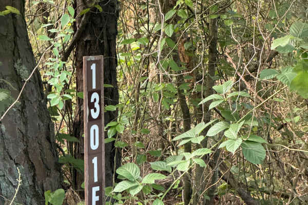
Perscillas Trail
This trail is an in-and-out trail that is full of fun obstacles. You can only access this trail from White Oak Mountain Road and head west on the way in. Starting this trail, you will notice amazing camping spots, large mud holes, rutted-out areas, and tight vegetation/trees. Some of the mud holes o...
Learn more about Perscillas Trail
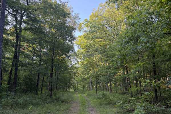
Stevens Steep
This trail starts off the Wilderness Trail and heads North towards Rocky Branch Trail. This trail starts with some off-camber sections that are becoming washed out and will only get worse over time. This trail also ends at a beautiful camping spot that can house several vehicles.
Learn more about Stevens Steep
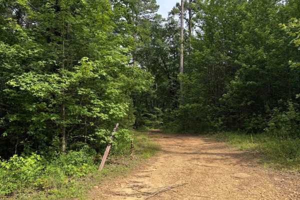
Rocky Ledge
Rocky Ledge is a point-to-point route with numerous obstacles and connections to other trails. When traveled from north to south, the route descends through hidden mud holes capable of swallowing 35-inch tires, followed by rocky, off-camber sections that continue downhill.
Learn more about Rocky Ledge
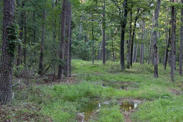
Mud Season
This Trail is can only be accessed from the Wilderness Trail. Heading North on this trail, you will be met with tight and overgrown vegetation that opens up a bit after the first tenth of a mile. Then you are met with multiple mud holes that range in depth. Some of these mud holes will swallow a 35"...
Learn more about Mud Season
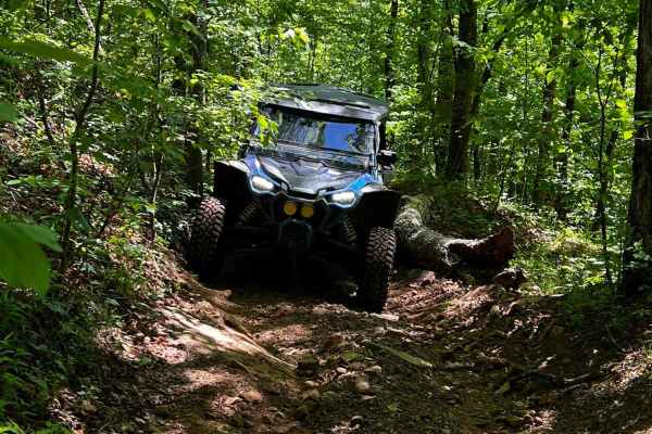
NFS 93052F
NFS 93052F begins at the intersection of 1322 and 93053A. Crossing Mill Creek at the start of the first of three crossings, as the trail parallels the creek with a few mud holes. These crossings are shallow most of the year, and in late summer can be nonexistent. Fall and spring can bring the water ...
Learn more about NFS 93052F

NFS 93053A Bear Hollow
NFS 93053A begins at the intersection of 1322 and 93052F. After crossing Mill Creek, the trail is flat for about 1/8th of a mile before it starts to climb to Adam Mountain Road. The steepest part of the climb is in the first ¼ mile. With loose rocks, ledges, and a steep drop on the west side of the ...
Learn more about NFS 93053A Bear Hollow
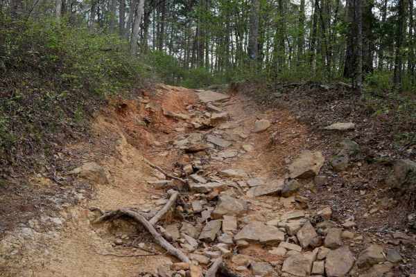
Gap Hollow Loop
This 5-mile ATV loop in the Moccasin Gap Trail system is a fun and scenic ride with a couple of notable moderate challenges. The trail has unavoidable mud puddles stretching the width of the trail that can appear suddenly, and water streaming through the path, so prepare to get your boots wet. Watch...
Learn more about Gap Hollow Loop
C
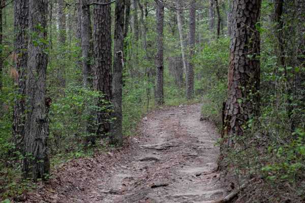
This smooth, fast-flowing trail departs from Trail B with a slightly off-camber start, then weaves through a forest of Arkansas pine, red maple, and ivy plants. It's a wide, two-track route with gradual grades and gentle curves. Expect muddy ruts and puddles in places, along with small roots scatter...
Learn more about C
Hogg - FS 93040B
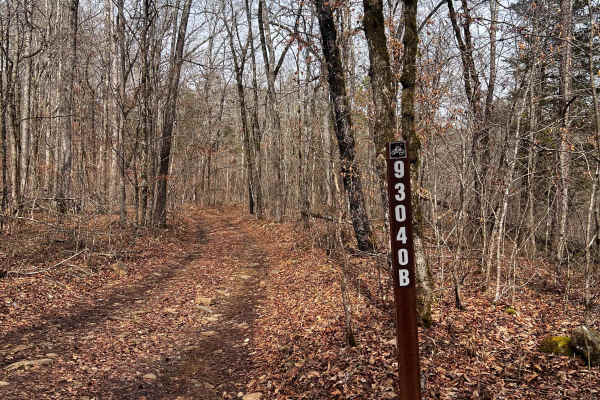
Hogg (FS 93040B) starts out flat as it follows Mill Creek for the first 300 yards, but quickly gains in elevation as it climbs through a wash and over rocky ledges for the first 1/8th mile after the start of the hill climb. The wash has a large rock that could be challenging for full-size rigs and t...
Learn more about Hogg - FS 93040B
ATV trails near Witts Springs, Arkansas
Explore ATV-friendly trails near you. These trails are accessible for vehicles up to 50 inches wide, perfect for ATVs and smaller off-road machines.
Flat Woolum
Starting off near Flat Arkansas, you make your way North towards Mt. Hersey and then follow the main gravel road down to Woolum. Please keep in mind of the water crossings and make sure to check water levels at all water crossings. Rain can change these crossings and water can be deep at certain tim...
Learn more about Flat Woolum
East Fork Bypass
This trail is a great connecting trail between the Wilderness Trail and Highway 27. You can also use this trail to fully connect you between Highway 27 and Highway 95 towards Scotland. This is a very easy scenic drive that has several trails branching off of it. Some sections are a bit rutted out at...
Learn more about East Fork Bypass
Sulphur Road
Sulphur Road is a fun trail that weaves through the Ozark National Forest. This trail features mild terrain that may require 4WD. Along this route, you will find a few small dispersed campsites with fire rings, as well as a shallow water crossing on the south end of the trail.
Learn more about Sulphur Road
Middle Fork Illinois Bayou
Middle Fork Illinois Bayou is an exciting, tight-clearance trail perfect for four-wheel-drive vehicles and SxSs looking for a scenic descent into the heart of the Ozarks. Stretching nearly four miles, this route offers a challenging mix of steep elevation changes, ranging from 740 feet to nearly 1,7...
Learn more about Middle Fork Illinois Bayou
UTV/side-by-side trails near Witts Springs, Arkansas
Find UTV and side-by-side trails near you. These trails accommodate vehicles up to 60 inches wide, ideal for UTVs, side-by-sides, and wider off-road rigs.
Flat Woolum
Starting off near Flat Arkansas, you make your way North towards Mt. Hersey and then follow the main gravel road down to Woolum. Please keep in mind of the water crossings and make sure to check water levels at all water crossings. Rain can change these crossings and water can be deep at certain tim...
Learn more about Flat Woolum
East Fork Bypass
This trail is a great connecting trail between the Wilderness Trail and Highway 27. You can also use this trail to fully connect you between Highway 27 and Highway 95 towards Scotland. This is a very easy scenic drive that has several trails branching off of it. Some sections are a bit rutted out at...
Learn more about East Fork Bypass
Sulphur Road
Sulphur Road is a fun trail that weaves through the Ozark National Forest. This trail features mild terrain that may require 4WD. Along this route, you will find a few small dispersed campsites with fire rings, as well as a shallow water crossing on the south end of the trail.
Learn more about Sulphur Road
Middle Fork Illinois Bayou
Middle Fork Illinois Bayou is an exciting, tight-clearance trail perfect for four-wheel-drive vehicles and SxSs looking for a scenic descent into the heart of the Ozarks. Stretching nearly four miles, this route offers a challenging mix of steep elevation changes, ranging from 740 feet to nearly 1,7...
Learn more about Middle Fork Illinois Bayou
The onX Offroad Difference
onX Offroad combines trail photos, descriptions, difficulty ratings, width restrictions, seasonality, and more in a user-friendly interface. Available on all devices, with offline access and full compatibility with CarPlay and Android Auto. Discover what you're missing today!
Open Trail Map