East Fork Bypass

Total Miles9.5
Technical Rating
1Easy
Best TimeSpring, Summer, Winter, Fall
Trail TypeFull-Width Road
Accessible By
Open Trail Map

Trail Overview

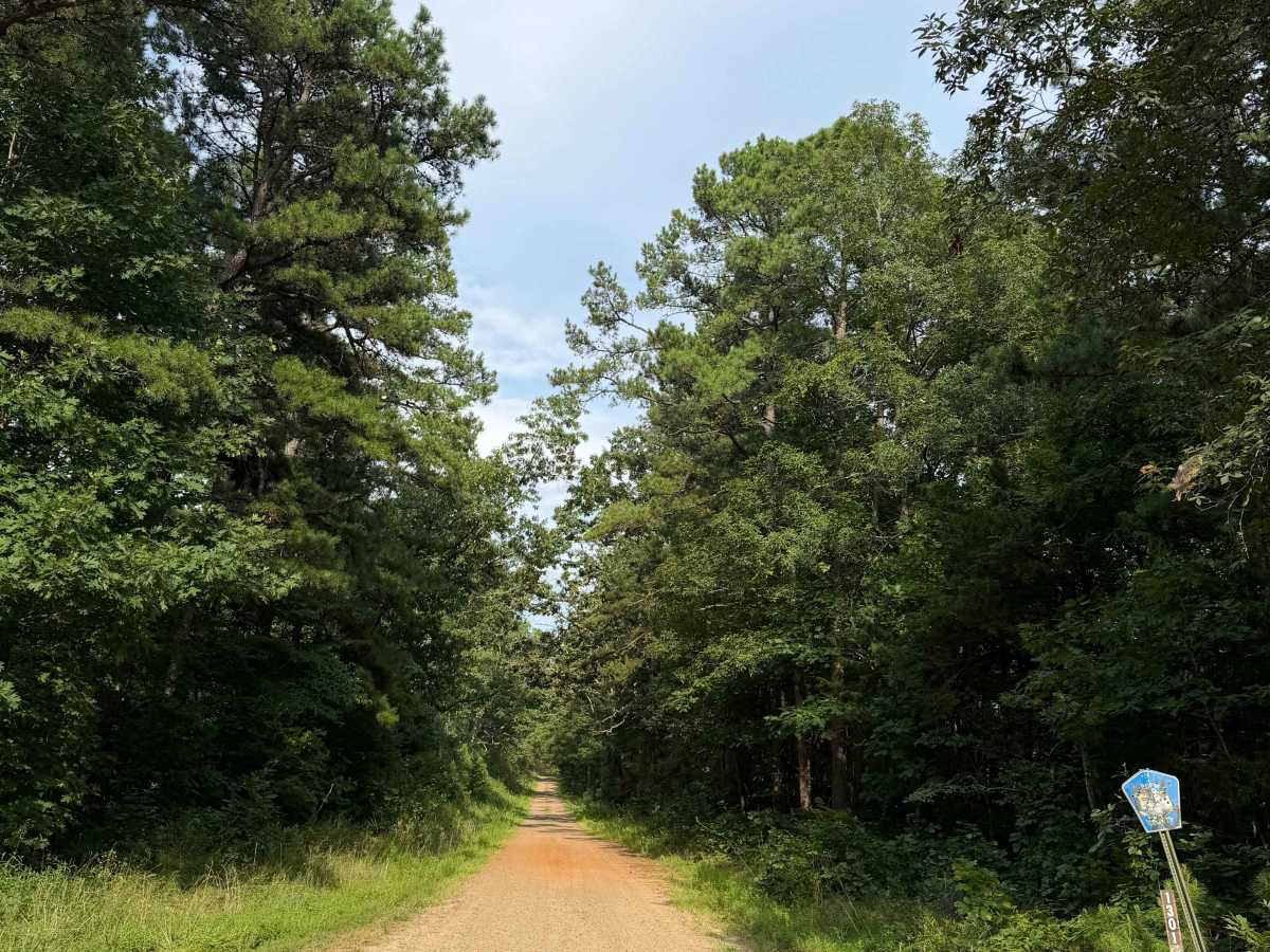
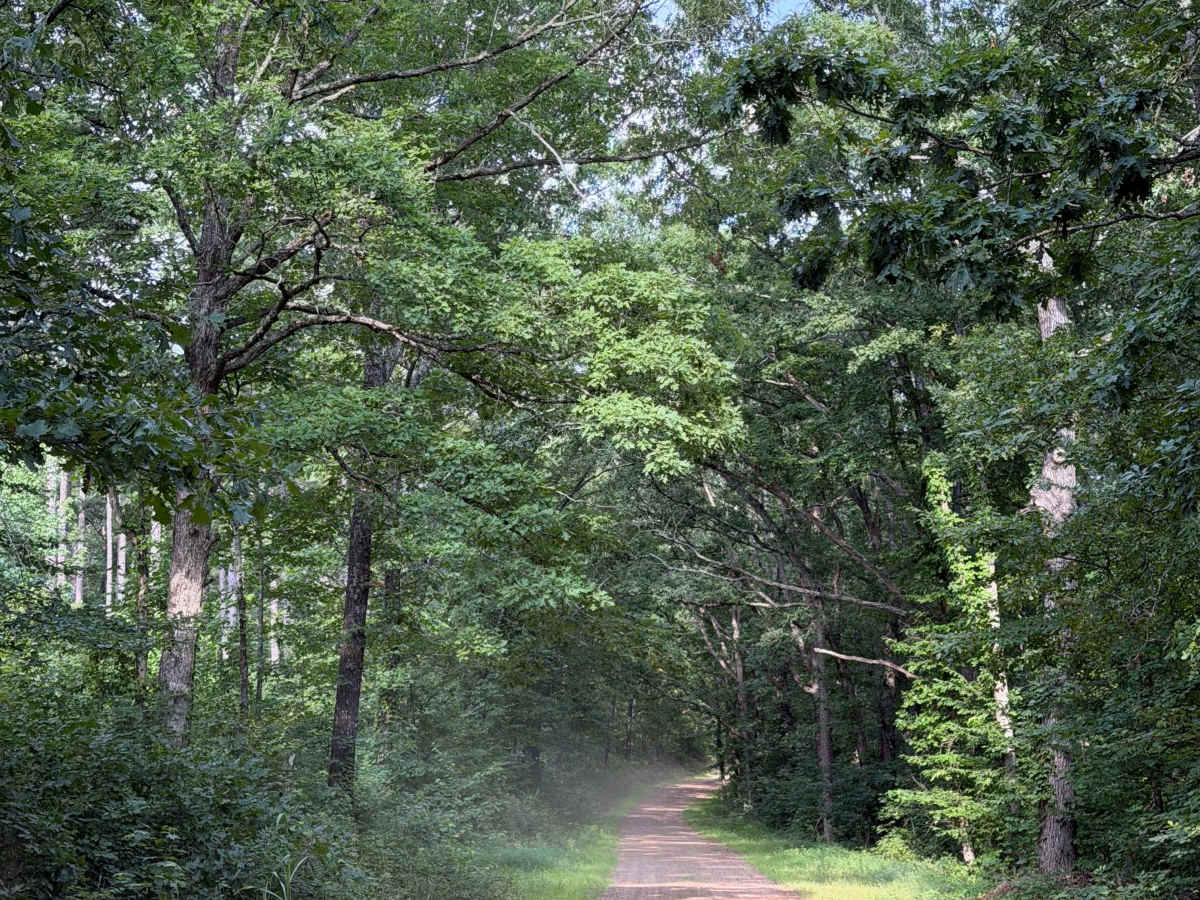
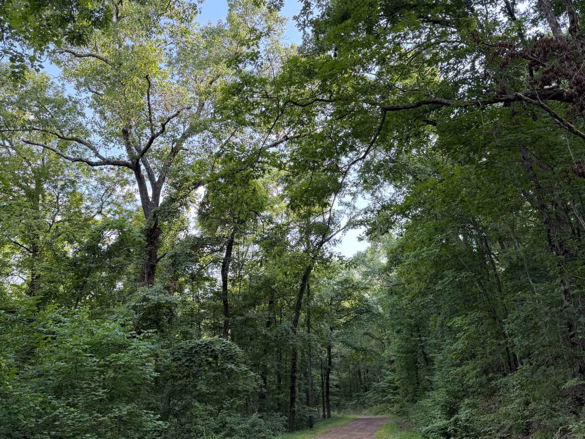
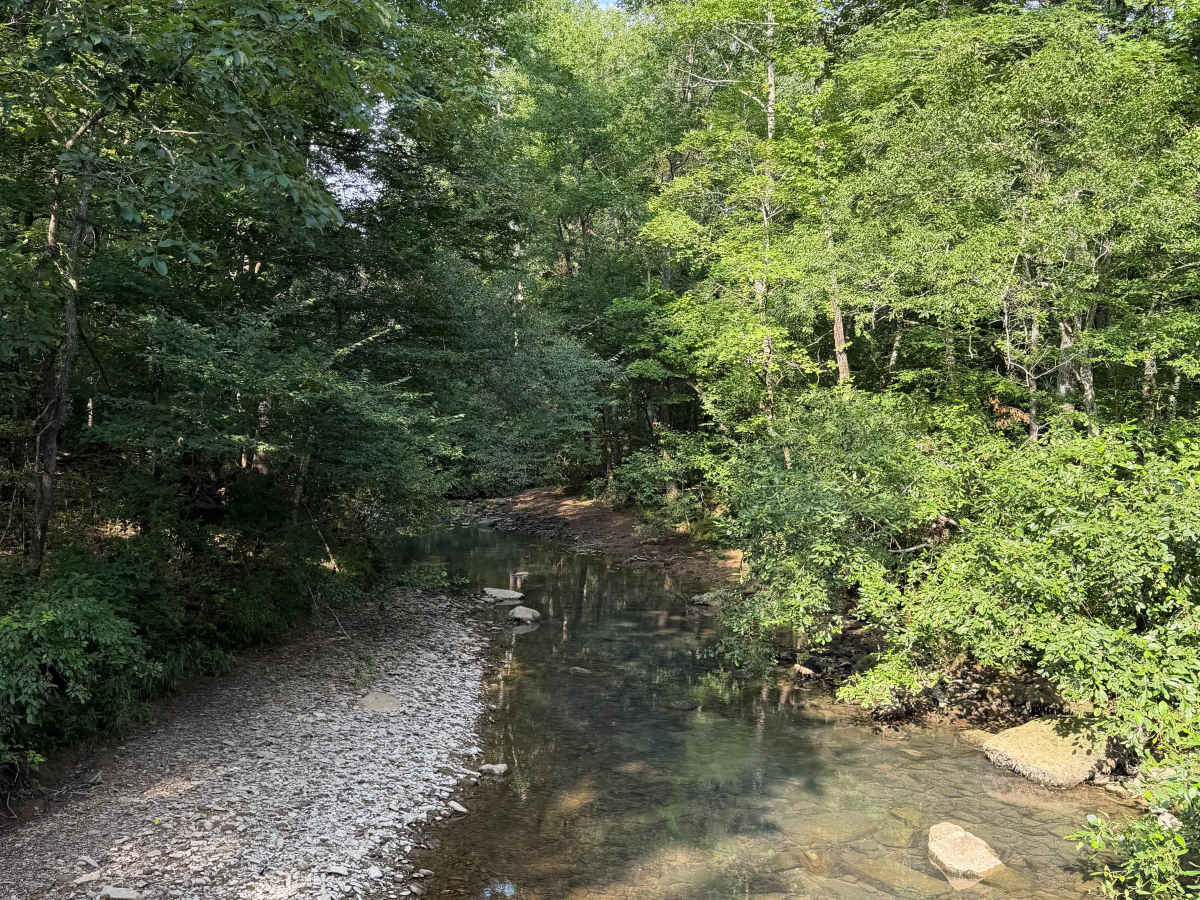
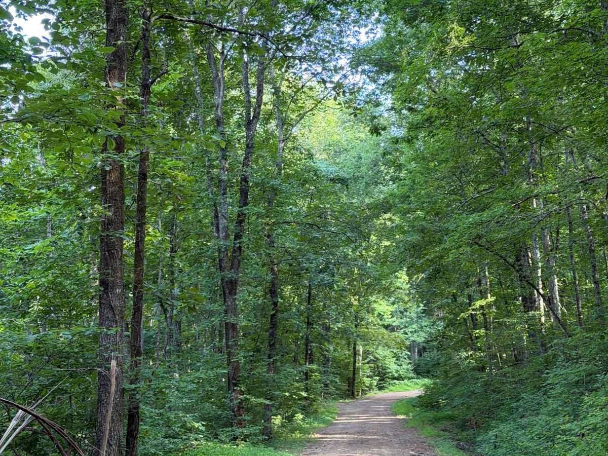
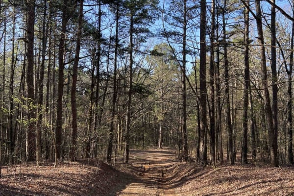
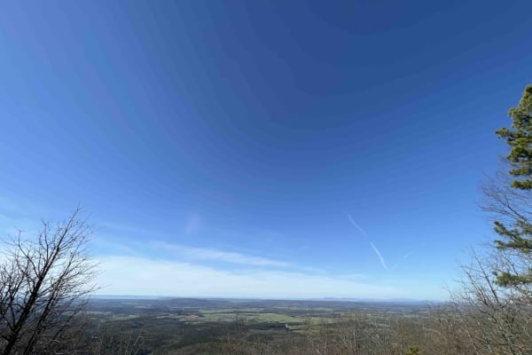
This trail is a great connecting trail between the Wilderness Trail and Highway 27. You can also use this trail to fully connect you between Highway 27 and Highway 95 towards Scotland. This is a very easy scenic drive that has several trails branching off of it. Some sections are a bit rutted out at the time of this upload (July 2026), and they seem to keep this road fairly maintained, so that could change the difficulty rating a bit. This trail also follows the East Fork Wilderness Area. This means be very aware of wildlife jumping out in front of you. There are also some amazing camping areas towards the middle of this trail when you get closer to the creek crossing.

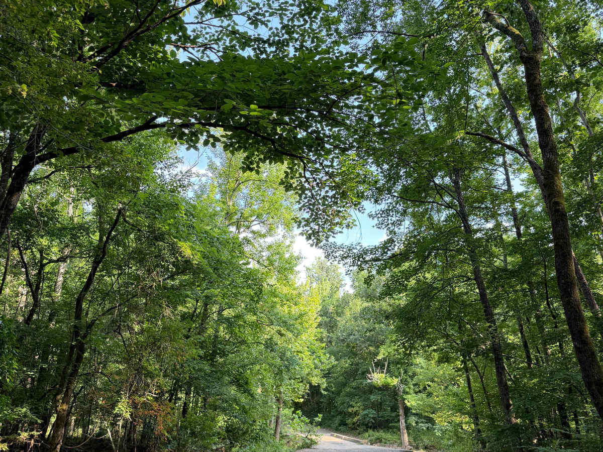
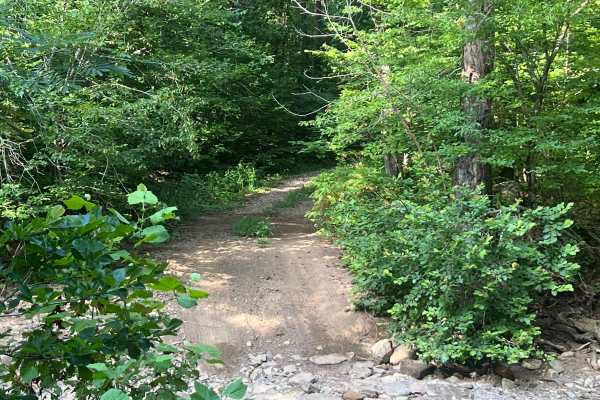
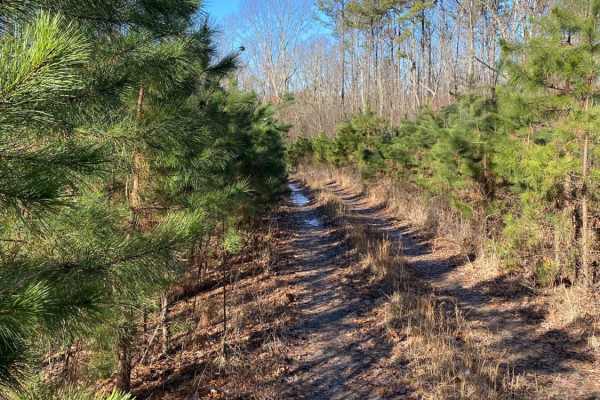
Photos of East Fork Bypass

Difficulty

Some light mudholes and rutted-out sections, but they seem to regularly maintain this road, so this could be something they fix between upload time and the time you trail.

Technical Rating

1

East Fork Bypass Trail can be accessed by the following ride types:

  • Single Track
  • 50 Inch
  • 60 Inch
  • High Clearance
  • Full Width

East Fork Bypass Map

The onX Offroad Difference

onX Offroad combines trail photos, descriptions, difficulty ratings, width restrictions, seasonality, and more in a user-friendly interface. Available on all devices, with offline access and full compatibility with CarPlay and Android Auto. Discover what you're missing today!

Open Trail Map