
Dirt Bike Trails
Near Wells, Nevada
Explore All Dirt Bike Trails Near Wells, Nevada
Dirt Bike Trails Near Wells, Nevada
Discover the best dirt bike trails near you. Browse trail maps, check difficulty ratings, and find your next adventure — whether you're looking for a quick ride or an all-day expedition.
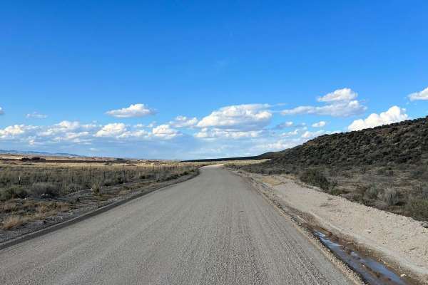
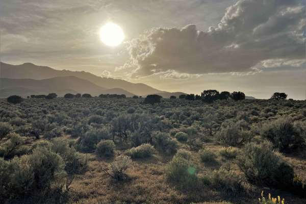
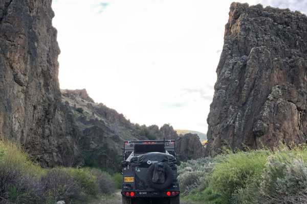
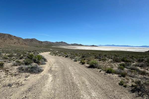
North Last Chance Road
North Last Chance Road is a well-maintained gravel road. You will pass alongside residential areas, accompanied by ranch lands. Some places can be a little washboard and dusty. There is a good possibility you will see other rigs on this trail, so keep your eyes up.
Learn more about North Last Chance Road
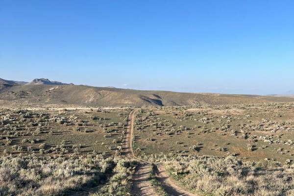
North 5th Street Side Connector
This fun side trail is just over 3 miles long, starting and ending on North 5th Street. The more southern section of this trail is fairly pretty with some small rocky and rutted areas. As you return to North 5th Street, this trail will have fun hill climbs and falls. This area will have a few minor ...
Learn more about North 5th Street Side Connector
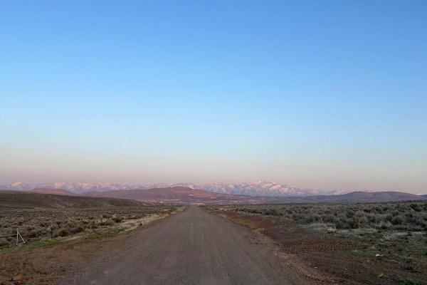
North 5th Street
North 5th Street is a maintained gravel road that is a little bumpy and washboard in areas. This trail travels North from Elko, Nevada, and ends at a small ski area with a small chairlift and rope tow. You will travel through the rolling hills of the high desert, which are covered with sagebrush and...
Learn more about North 5th Street
Adobe Heights Bypass
Adobe Heights Bypass is an easy trail that connects Mountain City Highway to North 5th Street in Elko, NV. This trail starts as a maintained gravel road and turns into an unmaintained dirt trail. The unmaintained section has some uneven areas with small ruts, but nothing crazy. You will follow power...
Learn more about Adobe Heights Bypass
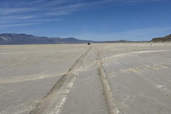
Bonneville Salt Flats to Eureka Nevada
This route takes you from the Bonneville Salt Flats in West Wendover to Eureka, Nevada, through the Goshute Mountains, over the Pequop Mountains, along the Ruby Lake Wildlife Refuge, along the Old Pony Express Route, and over the Diamond Mountains to just outside of Eureka, Nevada. Along the way, th...
Learn more about Bonneville Salt Flats to Eureka Nevada

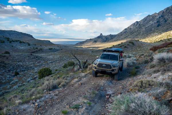
Pilot Mountain Road
The southern portion of this route poses more of a challenge as it consists of single-vehicle roads and leads to a vast open area. It is a dirt road that runs alongside the mountain base, providing breathtaking mountain scenery on one side and a stunning view of the Bonneville Salt Flats on the othe...
Learn more about Pilot Mountain Road
Silver Island Pass
Silver Island Pass is a short trail that connects the east and west sides of the Silver Island Backcountry Byway. It could be used as a cutoff for those not looking to complete the full byway loop. The road is wide, graded, and consists mostly of gravel. On the west side, there is one flat wash and ...
Learn more about Silver Island Pass
Silver Island Mountains Backcountry Byway
The Silver Island Mountains Backcountry Byway is a 53-mile route that loops around the Silver Island Range and offers a great way to experience the remoteness of Utah's West Desert for those short on time or with little off-road experience. The maintained gravel trail can be run in either direction....
Learn more about Silver Island Mountains Backcountry Byway
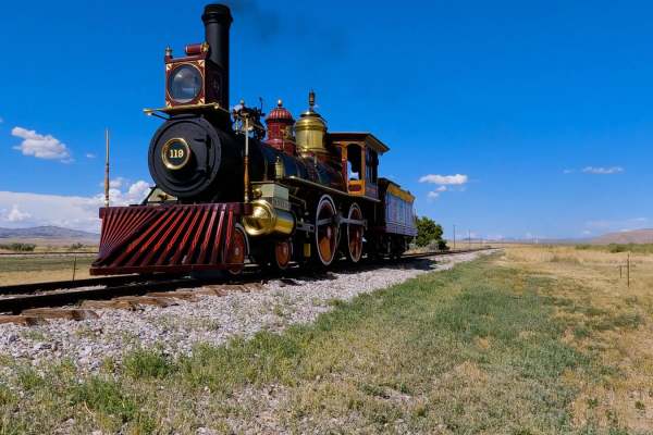
Golden Spike Auto Tour, Transcontinental Railroad Byway
This historic trail follows the last 90 miles of the Transcontinental Railroad. The trail is the actual grade where the railroad tracks were. There are slight detours around the wooden trestles, but 90 percent is the original grade. Along the way, there are several signs talking about the constructi...
Learn more about Golden Spike Auto Tour, Transcontinental Railroad Byway
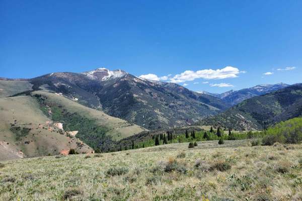
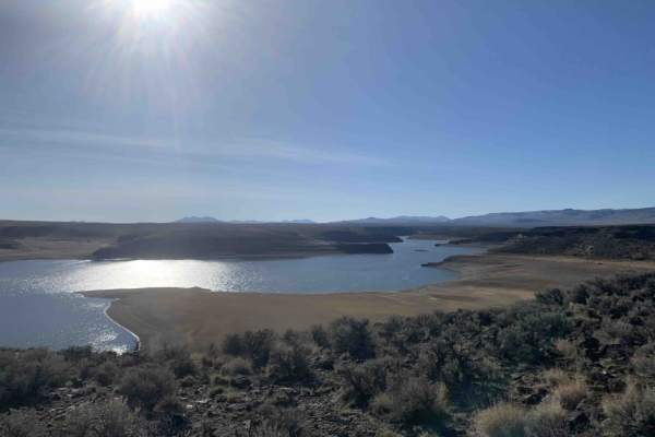
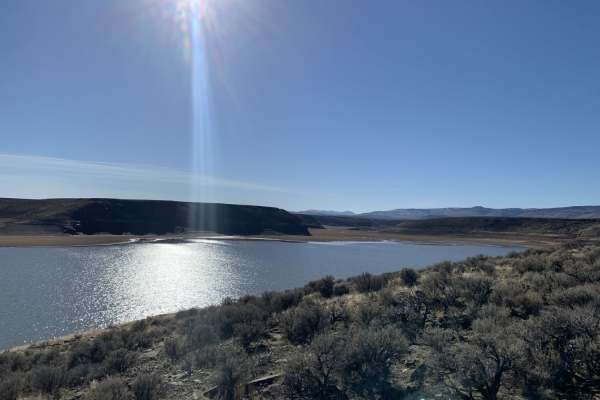
Wild Horse Recreation Area to Bruneau Canyon Overlook
This relatively easy route rewards travelers with absolutely incredible scenery. You'll find yourself maneuvering through cattle, staring up at steep canyon walls, and cresting small hills that reveal breathtaking views of snow capped mountains. If that's not enough variety, you'll also have the opp...
Learn more about Wild Horse Recreation Area to Bruneau Canyon Overlook
Purple Pancakes Fly at Midnight
We started this route in the town of Jarbidge leaving on "Pole Line Road" and stopped it when we intersected with "National Forest Developed Road 071", part of another onX trail. It starts with a steep climb out of town leading up toward the ridgeline, after that it was a series of beautiful vistas ...
Learn more about Purple Pancakes Fly at Midnight
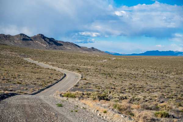
Harrison Pass
Harrison Pass is a maintained gravel road except during the winter months. There are areas on this road that can be extremely washboarded. If you are going too fast, some of these washboards could cause you to lose control of your rig. You will pass an old mining town and a mill foundation as you tr...
Learn more about Harrison Pass
Ruby Crest Trailhead
This road leads from Harrison Pass up to the Ruby Crest Trailhead. It's a relatively easy and short road that can save you some time and distance if you plan to hike the Ruby Crest Trail. This route can be done in 2WD with decent tires and some clearance. Be careful if there is any snow, as there a...
Learn more about Ruby Crest Trailhead
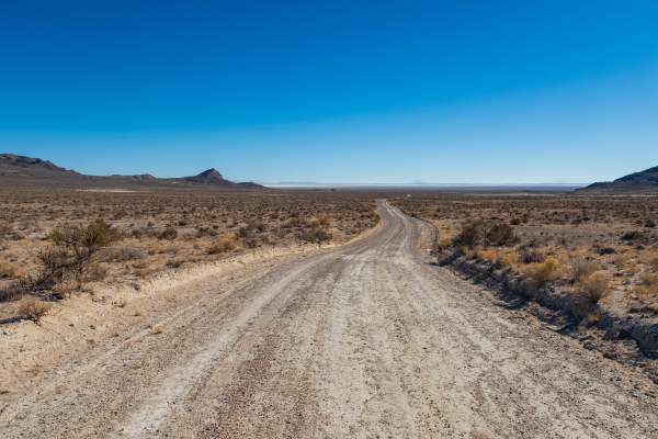
Crater Island
This trail goes from the historic Donner-Reed Pass out to the end of Crater Island. There are great views overlooking the salt flats, mud flats, and the Pilot Mountain range. This trail has several spurs that lead to the mud flats. The trail is mostly a smooth two-track trail but has a couple of roc...
Learn more about Crater Island
West Crater Island
This is a unique trail that travels along the west side of Crater Island over the mud flats. The landscape feels other-worldly and has nice views of Crater Island and the Pilot Mountain Range. The trail can be a little difficult to follow at times; stick to the tire tracks and keep an eye on the map...
Learn more about West Crater Island
Silver Island Canyon
Silver Island Canyon is in the northeast corner of the Silver Island range in Utah's West Desert. The trail runs north to south, and while non-technical, due to remoteness, you will want good tires as most of the trail is comprised of small loose rock and gravel. The southern portion is mostly smoot...
Learn more about Silver Island Canyon
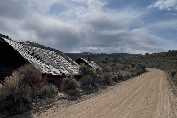
Clover Creek Road
Jarbidge is an unincorporated community in Elko County, Nevada, United States. The route is located at the bottom of the Jarbidge River's canyon near the north end of the Jarbidge Mountains, and fully lies within the Jarbidge Ranger District of the Humboldt-Toiyabe National Forest and is near the no...
Learn more about Clover Creek Road
Antelope Bay Loop and Lucas Point
This is the southern section of the Antelope Bay Loop. It's the easier way out into the vista. The rail is dirt and gravel with a few deeper ruts from muddy traffic and cows. This is the open range, so close any gates and keep an eye out for an electric fence. This half of the trail has an out and b...
Learn more about Antelope Bay Loop and Lucas Point
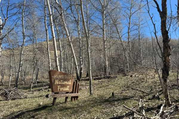
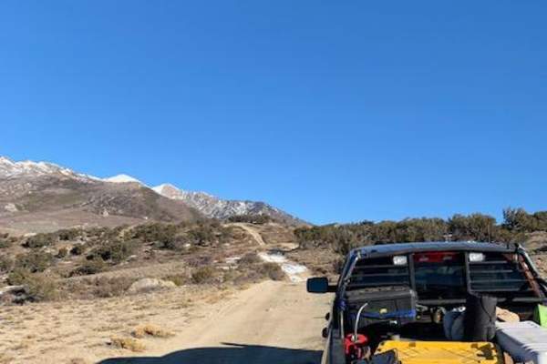
Trail Creek Road - FS 56729
This is a sandy, forest road through the Humboldt National Forest in the northern region that connects Maggie's Summit Road at Highway 226 to Highway 225 on the opposite side of the Bull Run Mountain Range. This road is maintained and climbs through the length of the Bull Run Mountains. It begins in...
Learn more about Trail Creek Road - FS 56729
Southern Lucas Point
This is a nice, flat, out-and-back offshoot trail heading down to the Southern Lucas Point on Salmon Falls Creek Reservoir. To get to the beginning of the trail, take China Creek off of Jarbidge Road and Three Creek Road;it's a well-maintained wide dirt road. The trail to Southern Lucas Point begins...
Learn more about Southern Lucas Point
ATV trails near Wells, Nevada
Explore ATV-friendly trails near you. These trails are accessible for vehicles up to 50 inches wide, perfect for ATVs and smaller off-road machines.
North Last Chance Road
North Last Chance Road is a well-maintained gravel road. You will pass alongside residential areas, accompanied by ranch lands. Some places can be a little washboard and dusty. There is a good possibility you will see other rigs on this trail, so keep your eyes up.
Learn more about North Last Chance Road
North 5th Street Side Connector
This fun side trail is just over 3 miles long, starting and ending on North 5th Street. The more southern section of this trail is fairly pretty with some small rocky and rutted areas. As you return to North 5th Street, this trail will have fun hill climbs and falls. This area will have a few minor ...
Learn more about North 5th Street Side Connector
North 5th Street
North 5th Street is a maintained gravel road that is a little bumpy and washboard in areas. This trail travels North from Elko, Nevada, and ends at a small ski area with a small chairlift and rope tow. You will travel through the rolling hills of the high desert, which are covered with sagebrush and...
Learn more about North 5th Street
Adobe Heights Bypass
Adobe Heights Bypass is an easy trail that connects Mountain City Highway to North 5th Street in Elko, NV. This trail starts as a maintained gravel road and turns into an unmaintained dirt trail. The unmaintained section has some uneven areas with small ruts, but nothing crazy. You will follow power...
Learn more about Adobe Heights Bypass
UTV/side-by-side trails near Wells, Nevada
Find UTV and side-by-side trails near you. These trails accommodate vehicles up to 60 inches wide, ideal for UTVs, side-by-sides, and wider off-road rigs.
North Last Chance Road
North Last Chance Road is a well-maintained gravel road. You will pass alongside residential areas, accompanied by ranch lands. Some places can be a little washboard and dusty. There is a good possibility you will see other rigs on this trail, so keep your eyes up.
Learn more about North Last Chance Road
North 5th Street Side Connector
This fun side trail is just over 3 miles long, starting and ending on North 5th Street. The more southern section of this trail is fairly pretty with some small rocky and rutted areas. As you return to North 5th Street, this trail will have fun hill climbs and falls. This area will have a few minor ...
Learn more about North 5th Street Side Connector
North 5th Street
North 5th Street is a maintained gravel road that is a little bumpy and washboard in areas. This trail travels North from Elko, Nevada, and ends at a small ski area with a small chairlift and rope tow. You will travel through the rolling hills of the high desert, which are covered with sagebrush and...
Learn more about North 5th Street
Adobe Heights Bypass
Adobe Heights Bypass is an easy trail that connects Mountain City Highway to North 5th Street in Elko, NV. This trail starts as a maintained gravel road and turns into an unmaintained dirt trail. The unmaintained section has some uneven areas with small ruts, but nothing crazy. You will follow power...
Learn more about Adobe Heights Bypass
The onX Offroad Difference
onX Offroad combines trail photos, descriptions, difficulty ratings, width restrictions, seasonality, and more in a user-friendly interface. Available on all devices, with offline access and full compatibility with CarPlay and Android Auto. Discover what you're missing today!
Open Trail Map