
Dirt Bike Trails
Near Oasis, Nevada
Explore All Dirt Bike Trails Near Oasis, Nevada
Dirt Bike Trails Near Oasis, Nevada
Discover the best dirt bike trails near you. Browse trail maps, check difficulty ratings, and find your next adventure — whether you're looking for a quick ride or an all-day expedition.
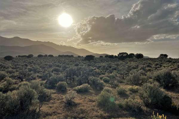
Bonneville Salt Flats to Eureka Nevada
This route takes you from the Bonneville Salt Flats in West Wendover to Eureka, Nevada, through the Goshute Mountains, over the Pequop Mountains, along the Ruby Lake Wildlife Refuge, along the Old Pony Express Route, and over the Diamond Mountains to just outside of Eureka, Nevada. Along the way, th...
Learn more about Bonneville Salt Flats to Eureka Nevada
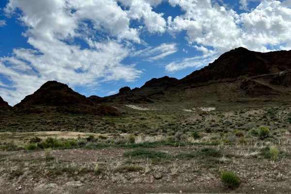
Pilot Mountain Road
The southern portion of this route poses more of a challenge as it consists of single-vehicle roads and leads to a vast open area. It is a dirt road that runs alongside the mountain base, providing breathtaking mountain scenery on one side and a stunning view of the Bonneville Salt Flats on the othe...
Learn more about Pilot Mountain Road
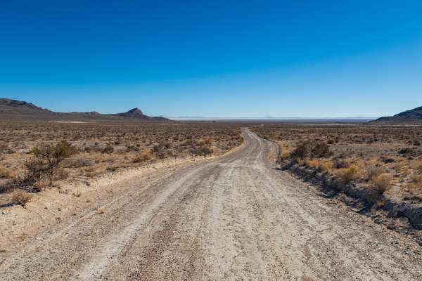
Silver Island Pass
Silver Island Pass is a short trail that connects the east and west sides of the Silver Island Backcountry Byway. It could be used as a cutoff for those not looking to complete the full byway loop. The road is wide, graded, and consists mostly of gravel. On the west side, there is one flat wash and ...
Learn more about Silver Island Pass
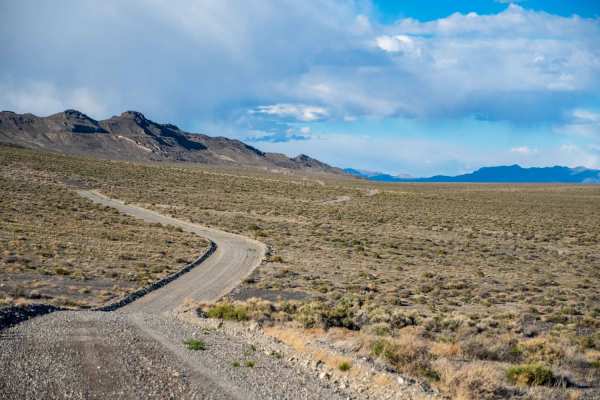
Silver Island Mountains Backcountry Byway
The Silver Island Mountains Backcountry Byway is a 53-mile route that loops around the Silver Island Range and offers a great way to experience the remoteness of Utah's West Desert for those short on time or with little off-road experience. The maintained gravel trail can be run in either direction....
Learn more about Silver Island Mountains Backcountry Byway
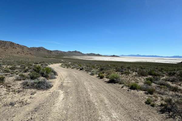
Crater Island
This trail goes from the historic Donner-Reed Pass out to the end of Crater Island. There are great views overlooking the salt flats, mud flats, and the Pilot Mountain range. This trail has several spurs that lead to the mud flats. The trail is mostly a smooth two-track trail but has a couple of roc...
Learn more about Crater Island
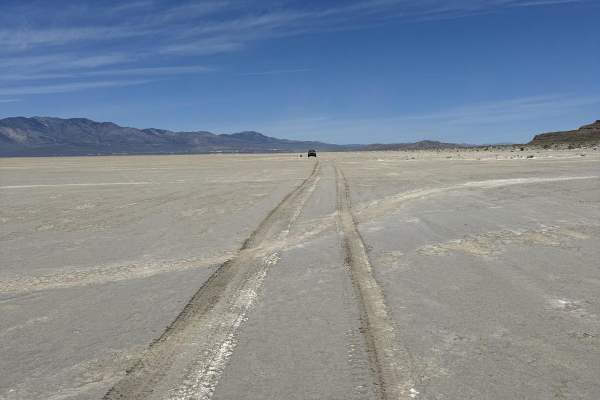
West Crater Island
This is a unique trail that travels along the west side of Crater Island over the mud flats. The landscape feels other-worldly and has nice views of Crater Island and the Pilot Mountain Range. The trail can be a little difficult to follow at times; stick to the tire tracks and keep an eye on the map...
Learn more about West Crater Island
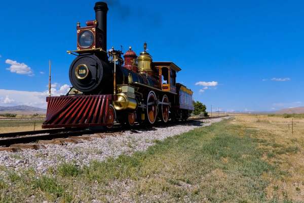
Golden Spike Auto Tour, Transcontinental Railroad Byway
This historic trail follows the last 90 miles of the Transcontinental Railroad. The trail is the actual grade where the railroad tracks were. There are slight detours around the wooden trestles, but 90 percent is the original grade. Along the way, there are several signs talking about the constructi...
Learn more about Golden Spike Auto Tour, Transcontinental Railroad Byway
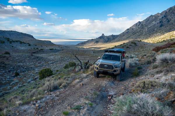
Silver Island Canyon
Silver Island Canyon is in the northeast corner of the Silver Island range in Utah's West Desert. The trail runs north to south, and while non-technical, due to remoteness, you will want good tires as most of the trail is comprised of small loose rock and gravel. The southern portion is mostly smoot...
Learn more about Silver Island Canyon
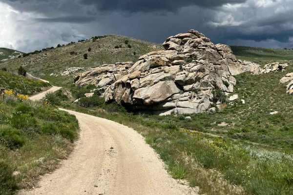
Rocky Pass Peak
The trail leading to Rocky Pass Peak is absolutely stunning as it winds through the mountain pass. Along the route, you'll be surrounded by magnificent rock formations and breathtaking landscapes. The experience is made even more exciting by the presence of narrow pathways and tight turns, although ...
Learn more about Rocky Pass Peak
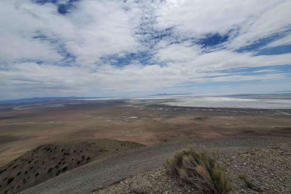
Cell Tower Overlook
This trail takes you to a cell tower that provides a beautiful view of the valley and the northern rim of the Great Salt Lake. Begin at the Devil's Playground trailhead. After 1.1 miles, take the left turn at the fork heading west. The trail is a single track wide enough for only one full-sized vehi...
Learn more about Cell Tower Overlook
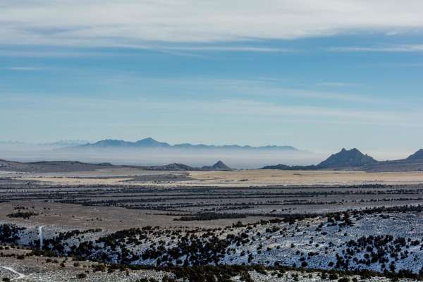
Devil's Playground and Dodge Truck Mines
This is a relatively short trail in the actual Devil's Playground area. Stop and do some hiking among the many granite formations and explore the many side roads. There are all kinds of options. This also includes a short side trip to the Dodge Truck MInes. There are some relics and an old cabin. Do...
Learn more about Devil's Playground and Dodge Truck Mines
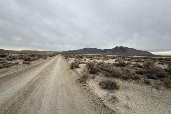
West Newfoundland Road
This trail follows the west side of the Newfoundland Mountains, a very remote mountain range located in the middle of the Great Salt Lake Desert. This trail runs from the Railroad tracks in the North and ends at a gate for the Utah Test and Training Range near the Southern end of the mountains. The ...
Learn more about West Newfoundland Road
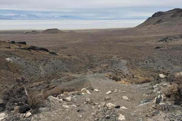
Big Pass
This trail runs up and over the Newfoundland Mountains, a remote mountain range in the middle of the Great Salt Lake Desert. It is the southernmost point to cross over the range since the southern tip of the mountain range is closed for the military. It can make a great spot to turn your trip to the...
Learn more about Big Pass
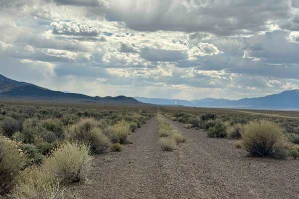
Old Historic Route 93
Old Route 93, which is now a gravel trail, takes the scenic route to the Pony Express trail. The trail is mostly flat with some brush on either side and ample great views in all directions. You will see herds of wild horses all around. The trail does have some low spots to allow the rainfall to flow...
Learn more about Old Historic Route 93
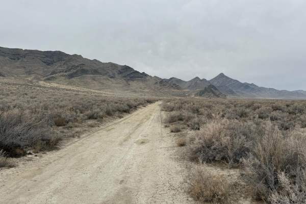
East Newfoundland Road
This trail follows the east side of the Newfoundland Mountains, a very remote mountain range located in the middle of the Great Salt Lake Desert. This trail runs from the Railroad tracks in the North and ends at a gate for the Utah Test and Training Range near the Southern end of the mountains. The ...
Learn more about East Newfoundland Road
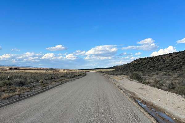
North Last Chance Road
North Last Chance Road is a well-maintained gravel road. You will pass alongside residential areas, accompanied by ranch lands. Some places can be a little washboard and dusty. There is a good possibility you will see other rigs on this trail, so keep your eyes up.
Learn more about North Last Chance Road
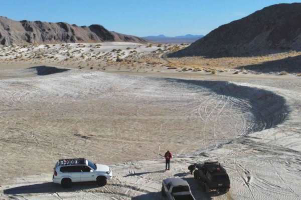
Dust to Glory
This trail transitions from dusty two-track to rocky hill climbs. You will get a good mix of both along this route. It starts from lower elevation and quickly climbs up the mountain where the terrain gets much rockier and more technical. After the technical section, it drops you right back down the ...
Learn more about Dust to Glory
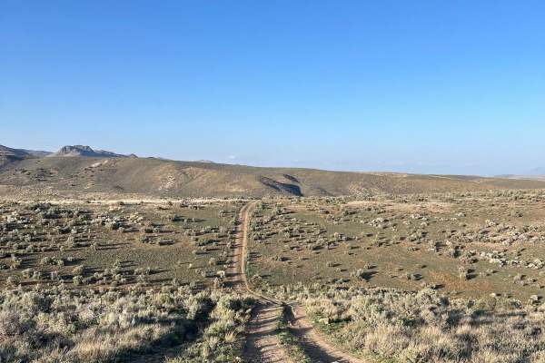
North 5th Street Side Connector
This fun side trail is just over 3 miles long, starting and ending on North 5th Street. The more southern section of this trail is fairly pretty with some small rocky and rutted areas. As you return to North 5th Street, this trail will have fun hill climbs and falls. This area will have a few minor ...
Learn more about North 5th Street Side Connector
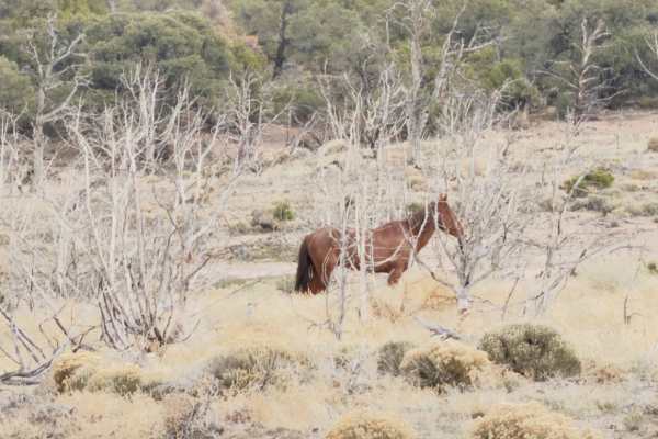
Becky's Loop
Remote perimeter loop tracing the boundary of the Becky Peak Wilderness (18,189 acres) along County Road 18, County Road 31, and connecting BLM two-tracks. Access from US-93 approximately 40 miles north of Ely. Route follows the eastern flank of the Schell Creek Range through open sagebrush basin, p...
Learn more about Becky's Loop
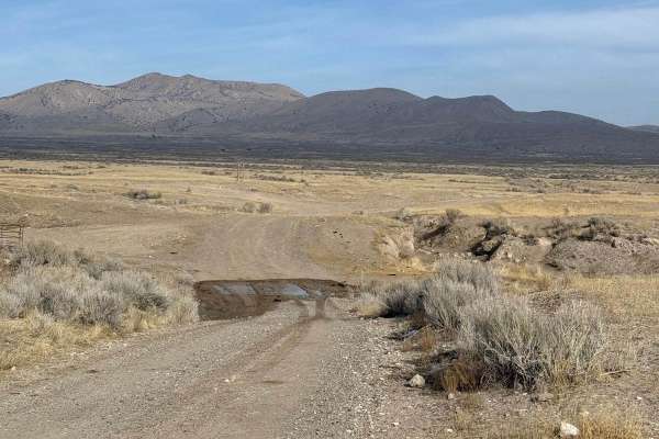
West Hogup Road
This road travels down the western side of the Hogup Mountain Range. It provides scenic views overlooking the Salt Lake Desert and the Newfoundland Mountains to the southwest, and the Pilot Mountain Range in the distance to the east. This road is fairly maintained, with a few areas that are a little...
Learn more about West Hogup Road
ATV trails near Oasis, Nevada
Explore ATV-friendly trails near you. These trails are accessible for vehicles up to 50 inches wide, perfect for ATVs and smaller off-road machines.
Bonneville Salt Flats to Eureka Nevada
This route takes you from the Bonneville Salt Flats in West Wendover to Eureka, Nevada, through the Goshute Mountains, over the Pequop Mountains, along the Ruby Lake Wildlife Refuge, along the Old Pony Express Route, and over the Diamond Mountains to just outside of Eureka, Nevada. Along the way, th...
Learn more about Bonneville Salt Flats to Eureka Nevada
Pilot Mountain Road
The southern portion of this route poses more of a challenge as it consists of single-vehicle roads and leads to a vast open area. It is a dirt road that runs alongside the mountain base, providing breathtaking mountain scenery on one side and a stunning view of the Bonneville Salt Flats on the othe...
Learn more about Pilot Mountain Road
Silver Island Pass
Silver Island Pass is a short trail that connects the east and west sides of the Silver Island Backcountry Byway. It could be used as a cutoff for those not looking to complete the full byway loop. The road is wide, graded, and consists mostly of gravel. On the west side, there is one flat wash and ...
Learn more about Silver Island Pass
Silver Island Mountains Backcountry Byway
The Silver Island Mountains Backcountry Byway is a 53-mile route that loops around the Silver Island Range and offers a great way to experience the remoteness of Utah's West Desert for those short on time or with little off-road experience. The maintained gravel trail can be run in either direction....
Learn more about Silver Island Mountains Backcountry Byway
UTV/side-by-side trails near Oasis, Nevada
Find UTV and side-by-side trails near you. These trails accommodate vehicles up to 60 inches wide, ideal for UTVs, side-by-sides, and wider off-road rigs.
Bonneville Salt Flats to Eureka Nevada
This route takes you from the Bonneville Salt Flats in West Wendover to Eureka, Nevada, through the Goshute Mountains, over the Pequop Mountains, along the Ruby Lake Wildlife Refuge, along the Old Pony Express Route, and over the Diamond Mountains to just outside of Eureka, Nevada. Along the way, th...
Learn more about Bonneville Salt Flats to Eureka Nevada
Pilot Mountain Road
The southern portion of this route poses more of a challenge as it consists of single-vehicle roads and leads to a vast open area. It is a dirt road that runs alongside the mountain base, providing breathtaking mountain scenery on one side and a stunning view of the Bonneville Salt Flats on the othe...
Learn more about Pilot Mountain Road
Silver Island Pass
Silver Island Pass is a short trail that connects the east and west sides of the Silver Island Backcountry Byway. It could be used as a cutoff for those not looking to complete the full byway loop. The road is wide, graded, and consists mostly of gravel. On the west side, there is one flat wash and ...
Learn more about Silver Island Pass
Silver Island Mountains Backcountry Byway
The Silver Island Mountains Backcountry Byway is a 53-mile route that loops around the Silver Island Range and offers a great way to experience the remoteness of Utah's West Desert for those short on time or with little off-road experience. The maintained gravel trail can be run in either direction....
Learn more about Silver Island Mountains Backcountry Byway
The onX Offroad Difference
onX Offroad combines trail photos, descriptions, difficulty ratings, width restrictions, seasonality, and more in a user-friendly interface. Available on all devices, with offline access and full compatibility with CarPlay and Android Auto. Discover what you're missing today!
Open Trail Map