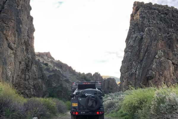
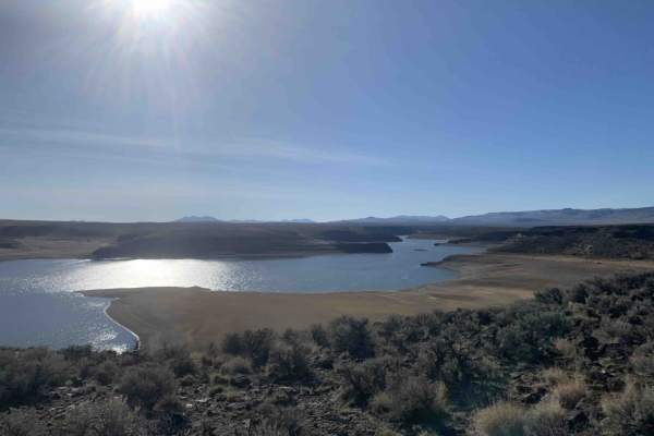
Trail Overview
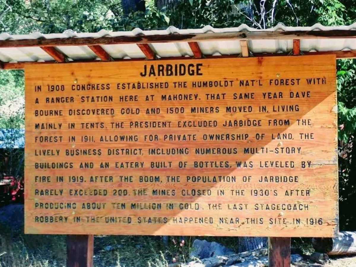
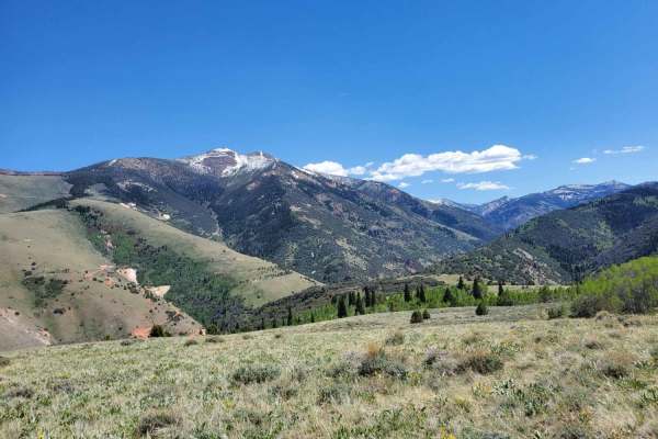
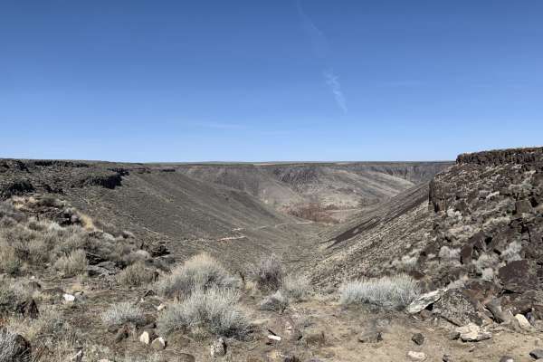
Jarbidge is an unincorporated community in Elko County, Nevada, United States. The route is located at the bottom of the Jarbidge River's canyon near the north end of the Jarbidge Mountains, and fully lies within the Jarbidge Ranger District of the Humboldt-Toiyabe National Forest and is near the northwest edge of the Jarbidge Wilderness, which is approximately 10 miles south of the Idaho-Nevada border. Jarbidge lies in the middle of a section of Humbolt National Forest in the northeastern corner of Nevada. Surrounded on all sides by high plains and dry desert, the Jarbidge Wilderness Area is 113,000 incongruous acres of mountains, rivers, and wooded canyons just begging to be explored.
History
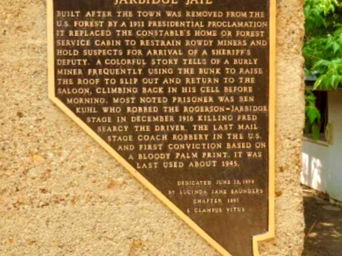
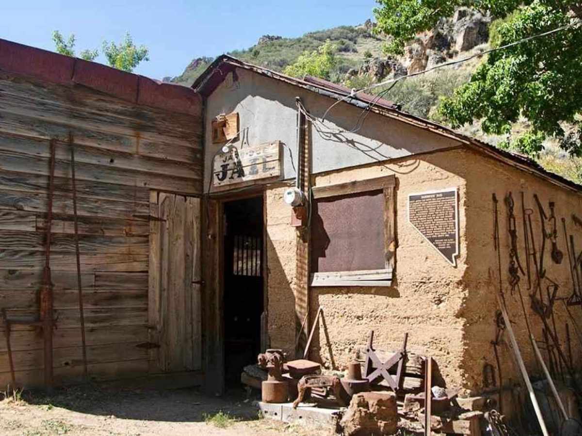
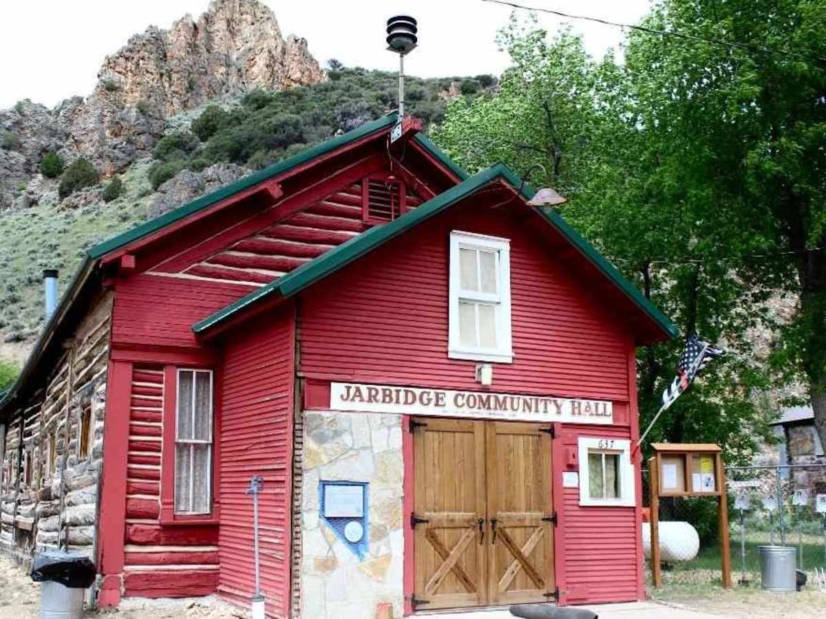
First there was a Shoshone legend of a cannibalistic giant, finally captured and trapped in a cave to the relief of the native people. Then there was the gold rush in 1909, when Jarbidge became a remote and lively mining camp. The town claims the dubious honor of being the setting for America's last mail stagecoach robbery in 1916, a wild-west story involving stolen cash and bloody handprints.Historic structures still stand around town, lovingly maintained and spruced up for visitors. The old jail, where the stagecoach robber did time, has fake skeletons lounging in the cells. Though Jarbidge is sometimes referred to as a ghost town, it is very much alive and vibrant