
Dirt Bike Trails
Near Viburnum, Missouri
Explore All Dirt Bike Trails Near Viburnum, Missouri
Dirt Bike Trails Near Viburnum, Missouri
Discover the best dirt bike trails near you. Browse trail maps, check difficulty ratings, and find your next adventure — whether you're looking for a quick ride or an all-day expedition.
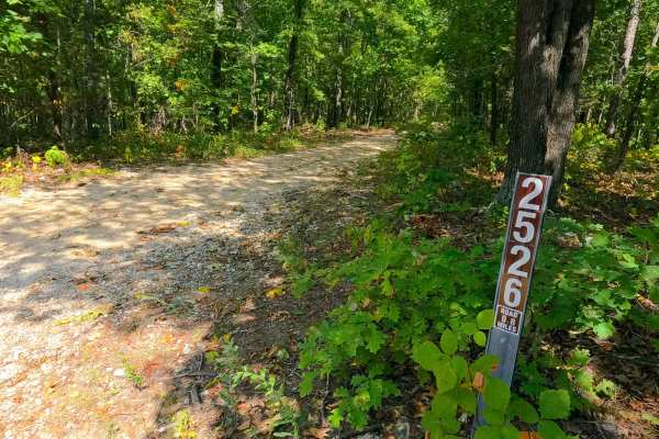
Big Buck - FS 2526
Big Buck FS 2526 is a natural terrain dirt road within the Potosi Unit of Mark Twain National Forest. The road is placed on the upper ridge in between the valleys of the Courtios Creek to the east and Indian Creek to the west. The road slowly tracks downhill, riding the spines of the ridge, traversi...
Learn more about Big Buck - FS 2526
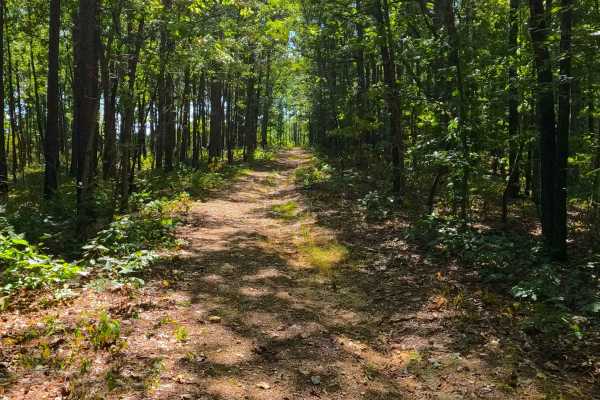
Pleasant Grove Church - FS 2524
Pleasant Grove Church (FS 2524) is a natural terrain dirt road within the Potosi Unit of Mark Twain National Forest. The road is placed on the upper ridge in between the valleys of the Courtios Creek to the east and Indian Creek to the west. The road definitely feels likely to be someone's gem hunti...
Learn more about Pleasant Grove Church - FS 2524
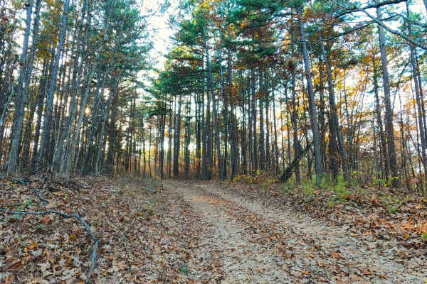
Indian Creek Church - FS 2523
Indian Creek Church (FS 2523) is a natural terrain dirt road within the Potosi Unit of Mark Twain National Forest. The road is placed on the upper ridge spines in between the valleys of the Courtios Creek to the east and Indian Creek to the west. The road drops off the Frank Bay Road right into a do...
Learn more about Indian Creek Church - FS 2523
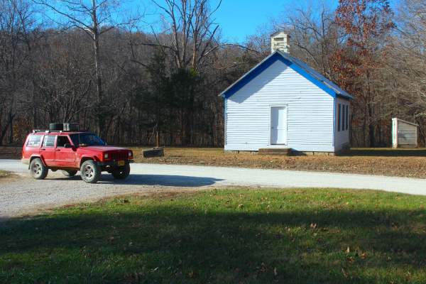
Frank Bay Road - ICR 1
Frank Bay Road, or Iron County Road 1, is a 6.1-mile-long, majority gravel road (4.5 miles gravel in the center with 0.8 mile of pavement on both ends) through Mark Twain National Forest Potosi Unit and Iron County, Missouri. Frank Bay Road connects the town of Viburnum on the west end to the settle...
Learn more about Frank Bay Road - ICR 1
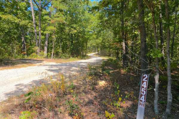
Hickory Grove Church - FS 2454
Hickory Grove Church (FS 2454), or the C L Medley Road, is a semi-maintained gravel road within the Mark Twain National Forest Potosi Unit. The Hickory Grove Church is a generally smooth, scenic road with graceful curves and slight elevation changes along its track. The road is very purposeful; it i...
Learn more about Hickory Grove Church - FS 2454
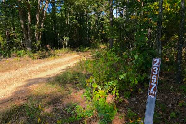
Turner Cemetery - FS 2367
Turner Cemetery (FS 2367) is a dirt-gravel-based forest road within the Mark Twain National Forest Potosi Unit. The road branches off Missouri Route 32 heading south, featuring a circular entry around a large tree. From here, it follows the ridge spines between two valleys, hosting Neals Creek to th...
Learn more about Turner Cemetery - FS 2367
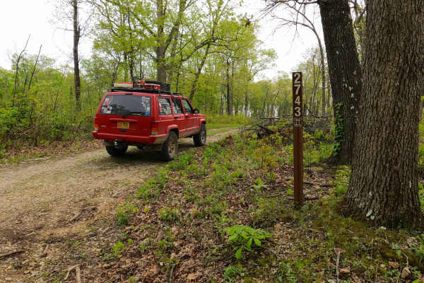
North James - FS 2743
North James (FS 2743) is a low-standard gravel forest service road within the Mark Twain National Forest Potosi Unit. North James features a short annual season of use from November 7th to November 30th, during deer season. The road is 0.9 of a mile long, starting from the hilltop along the Crooked ...
Learn more about North James - FS 2743
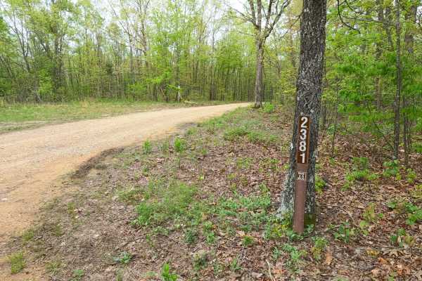
Old Mill - FS 2381
Old Mill FS 2381, is a semi-maintained gravel forest road within the Salem Unit of Mark Twain National Forest. The road features a ridge-top ride on the hill separating James Branch Creek/Chandler Hollow to the North and Indian Creek/Todd Hollow to the South. Along the way, there are small water col...
Learn more about Old Mill - FS 2381
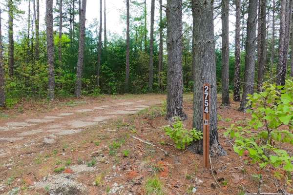
James Ridge - FS 2754
James Ridge FS 2754, is a semi-maintained gravel forest road within the Salem Unit of Mark Twain National Forest. The road features a ridge-top ride on the hill with James Branch Creek to the south and Chandler Hollow/Lost Lake to the east. Along the way, there are small water collection spots, surf...
Learn more about James Ridge - FS 2754
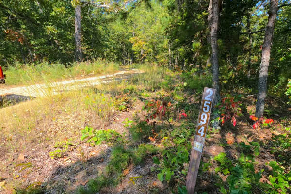
Beasley Hollow - FS 2594
Beasley Hollow (FS 2594) is a Forest Service Road, being mostly semi-maintained gravel leaning towards a natural dirt path at the end, within the Mark Twain National Forest Potosi Unit. Beasley Hollow is named fittingly by the valley that rests to the south of its track as it rides the ridge spines ...
Learn more about Beasley Hollow - FS 2594
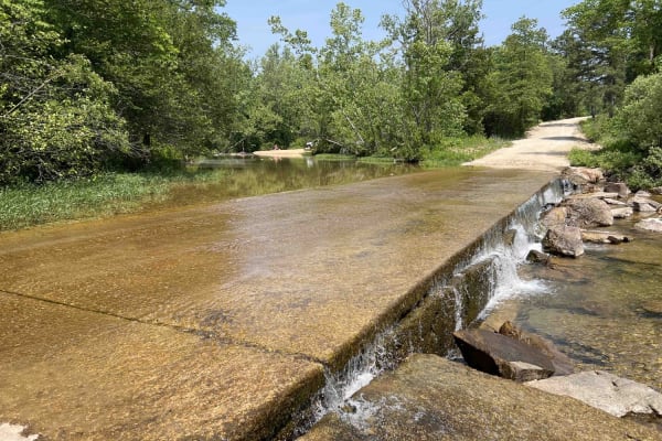
Buick Truck Trail 2231
Buick Truck Trail 2231 is located centrally in the Mark Twain National Forest which encompasses roughly 1.5 million acres in Missouri. It starts out paved until after you reach a rock quarry where it turns to gravel. As you drive through the vast forest of pine and oak you are slowly engulfed into ...
Learn more about Buick Truck Trail 2231
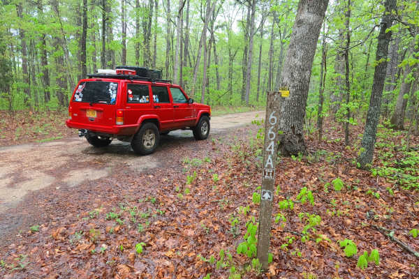
Ironwash Spur A - FS 2664A
Ironwash Spur A FS 2664A is a semi-maintained gravel road within the Potosi Unit of Mark Twain National Forest. The road spurs north from the Ironwash or Crocker Road ICR 9 FS 2664, heading towards the Iron and Washington County line that crosses the ridge top just south of the Herb Road valley. The...
Learn more about Ironwash Spur A - FS 2664A
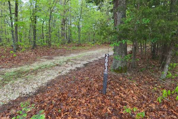
Rocky Top - FS 2663
Rocky Top FS 2663 is a semi-maintained gravel road leaning into natural improvements within the Potosi Unit of Mark Twain National Forest. The road branches off the Ironwash ICR 9 FS 2664, heading southwest, traversing the ridge, turning into a gradual hill that lowers into the valley where the road...
Learn more about Rocky Top - FS 2663
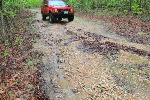
Ironwash - ICR 9 FS 2664
Ironwash or Crocker Road, with the IDs Iron CR 9 and FS 2664, is a semi-maintained gravel road that leans towards a natural improved road over its track, which is part of Iron County right of way, and the Potosi Unit of Mark Twain National Forest. The track features graceful bends and elevation chan...
Learn more about Ironwash - ICR 9 FS 2664
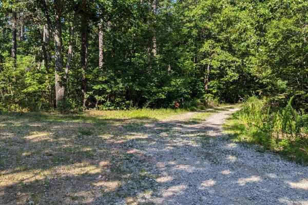
Palmer Mine - FSR 2382
Palmer Mine Trail begins as a well-maintained forest service road winding through the scenic Mark Twain National Forest, gradually descending into the valley towards Hazel Creek. At 1 mile into the trail, adventurers reach a spacious open campsite area complete with a rock fire ring. Beyond this poi...
Learn more about Palmer Mine - FSR 2382
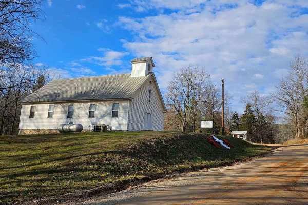
Palmer North - FSR 2695
Forest Service Road 2695 (Palmer North) connects Palmer Road and Pigeon Roost Road. At the trailhead near Palmer Road, you'll encounter the historic Palmer Church, established in 1840. The majority of the trail is a well-maintained gravel road, though there are a couple of small washouts (less than ...
Learn more about Palmer North - FSR 2695

Peter Cave Hollow 2363
It's always exciting when you drive for miles looking for that perfect camping spot with a view and then you finally, after hundreds of miles, find that spot. Peter Cave Hollow 2363 will take you there and even if you just stop for lunch, its shade provides a nice resting spot. The Mark Twain Nation...
Learn more about Peter Cave Hollow 2363
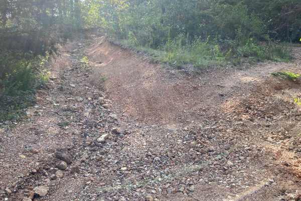
Parole Dam Trail
This is a forest trail that takes you the fun way to Parole Dam. There's a good downhill rocky section (tougher going back up)-there is a bypass, but the extra credit lines require good ground clearance. Shortly after exiting the trail, you will arrive at the Parole Dam area with opportunities for s...
Learn more about Parole Dam Trail
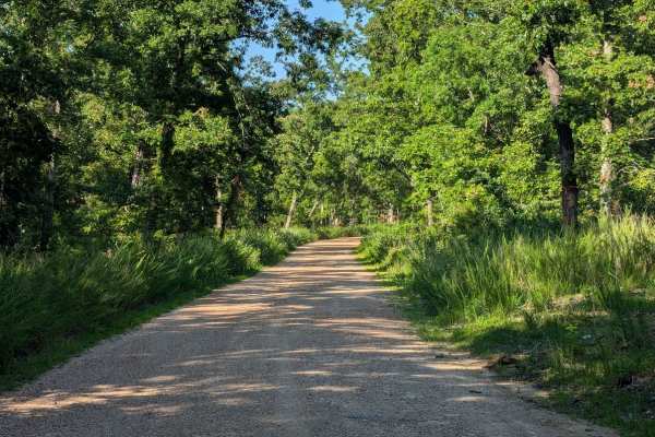
Old Tiff Mill - FSR 2423
Forest Service Road 2423 is a well-maintained gravel road in the Potosi District of the Mark Twain National Forest. FSR 2423 connects to FSR 2919, which provides access to Howell Lake and Howell Mine Dam. It can be accessed by almost any vehicle and should not require four-wheel drive.
Learn more about Old Tiff Mill - FSR 2423
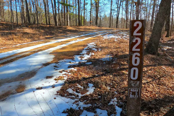
Upper Henderson - FS 2260
Upper Henderson (FS 2260) is a natural leaning gravel and dirt terrain Forest Service Road within the Salem Unit of Mark Twain National Forest, open to all vehicles complying with Reynolds County and Missouri state laws. From the beginning where the FS 2260 spurs off the Karkaghne Scenic Drive (or R...
Learn more about Upper Henderson - FS 2260
ATV trails near Viburnum, Missouri
Explore ATV-friendly trails near you. These trails are accessible for vehicles up to 50 inches wide, perfect for ATVs and smaller off-road machines.
Big Buck - FS 2526
Big Buck FS 2526 is a natural terrain dirt road within the Potosi Unit of Mark Twain National Forest. The road is placed on the upper ridge in between the valleys of the Courtios Creek to the east and Indian Creek to the west. The road slowly tracks downhill, riding the spines of the ridge, traversi...
Learn more about Big Buck - FS 2526
Pleasant Grove Church - FS 2524
Pleasant Grove Church (FS 2524) is a natural terrain dirt road within the Potosi Unit of Mark Twain National Forest. The road is placed on the upper ridge in between the valleys of the Courtios Creek to the east and Indian Creek to the west. The road definitely feels likely to be someone's gem hunti...
Learn more about Pleasant Grove Church - FS 2524
Indian Creek Church - FS 2523
Indian Creek Church (FS 2523) is a natural terrain dirt road within the Potosi Unit of Mark Twain National Forest. The road is placed on the upper ridge spines in between the valleys of the Courtios Creek to the east and Indian Creek to the west. The road drops off the Frank Bay Road right into a do...
Learn more about Indian Creek Church - FS 2523
Frank Bay Road - ICR 1
Frank Bay Road, or Iron County Road 1, is a 6.1-mile-long, majority gravel road (4.5 miles gravel in the center with 0.8 mile of pavement on both ends) through Mark Twain National Forest Potosi Unit and Iron County, Missouri. Frank Bay Road connects the town of Viburnum on the west end to the settle...
Learn more about Frank Bay Road - ICR 1
UTV/side-by-side trails near Viburnum, Missouri
Find UTV and side-by-side trails near you. These trails accommodate vehicles up to 60 inches wide, ideal for UTVs, side-by-sides, and wider off-road rigs.
Big Buck - FS 2526
Big Buck FS 2526 is a natural terrain dirt road within the Potosi Unit of Mark Twain National Forest. The road is placed on the upper ridge in between the valleys of the Courtios Creek to the east and Indian Creek to the west. The road slowly tracks downhill, riding the spines of the ridge, traversi...
Learn more about Big Buck - FS 2526
Pleasant Grove Church - FS 2524
Pleasant Grove Church (FS 2524) is a natural terrain dirt road within the Potosi Unit of Mark Twain National Forest. The road is placed on the upper ridge in between the valleys of the Courtios Creek to the east and Indian Creek to the west. The road definitely feels likely to be someone's gem hunti...
Learn more about Pleasant Grove Church - FS 2524
Indian Creek Church - FS 2523
Indian Creek Church (FS 2523) is a natural terrain dirt road within the Potosi Unit of Mark Twain National Forest. The road is placed on the upper ridge spines in between the valleys of the Courtios Creek to the east and Indian Creek to the west. The road drops off the Frank Bay Road right into a do...
Learn more about Indian Creek Church - FS 2523
Frank Bay Road - ICR 1
Frank Bay Road, or Iron County Road 1, is a 6.1-mile-long, majority gravel road (4.5 miles gravel in the center with 0.8 mile of pavement on both ends) through Mark Twain National Forest Potosi Unit and Iron County, Missouri. Frank Bay Road connects the town of Viburnum on the west end to the settle...
Learn more about Frank Bay Road - ICR 1
The onX Offroad Difference
onX Offroad combines trail photos, descriptions, difficulty ratings, width restrictions, seasonality, and more in a user-friendly interface. Available on all devices, with offline access and full compatibility with CarPlay and Android Auto. Discover what you're missing today!
Open Trail Map