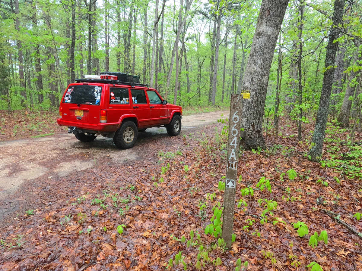
Trail Overview
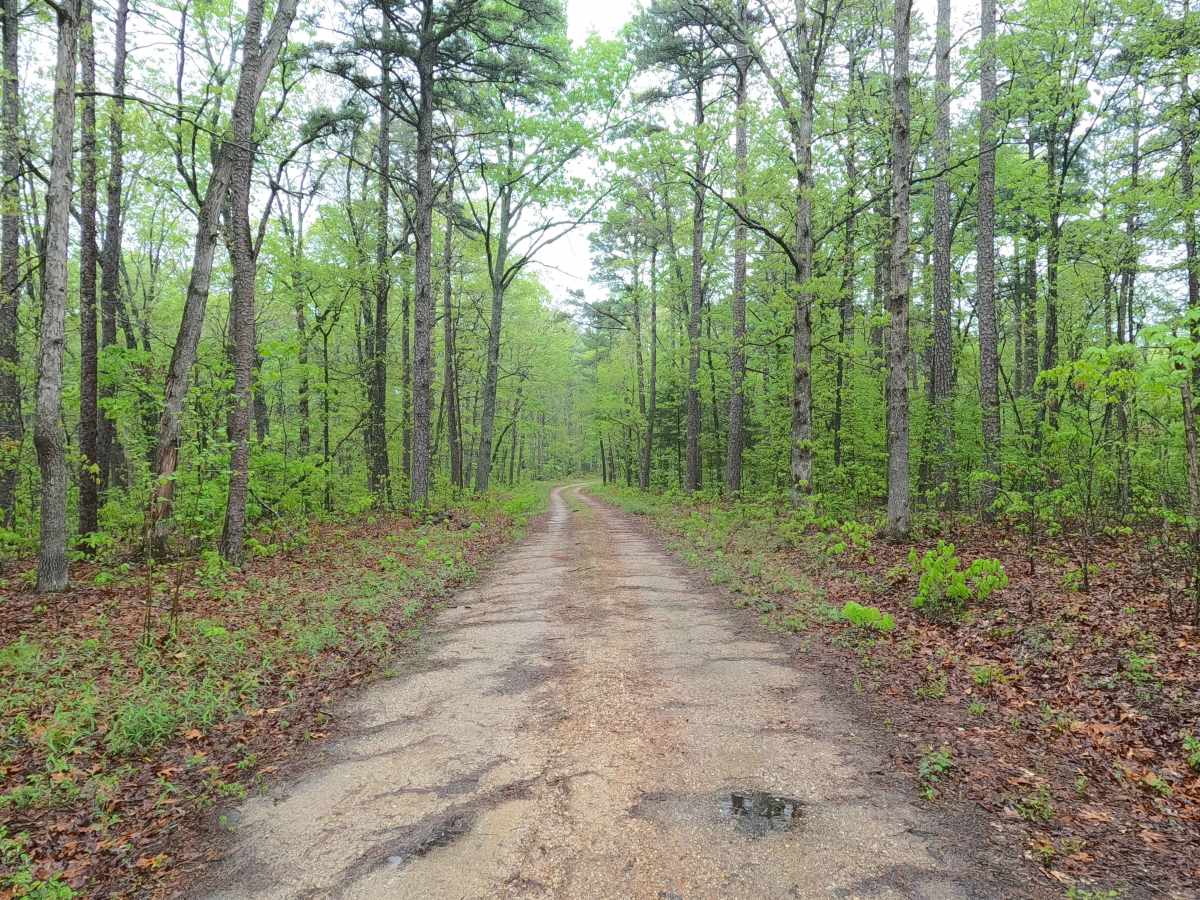
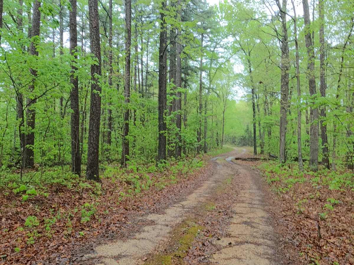
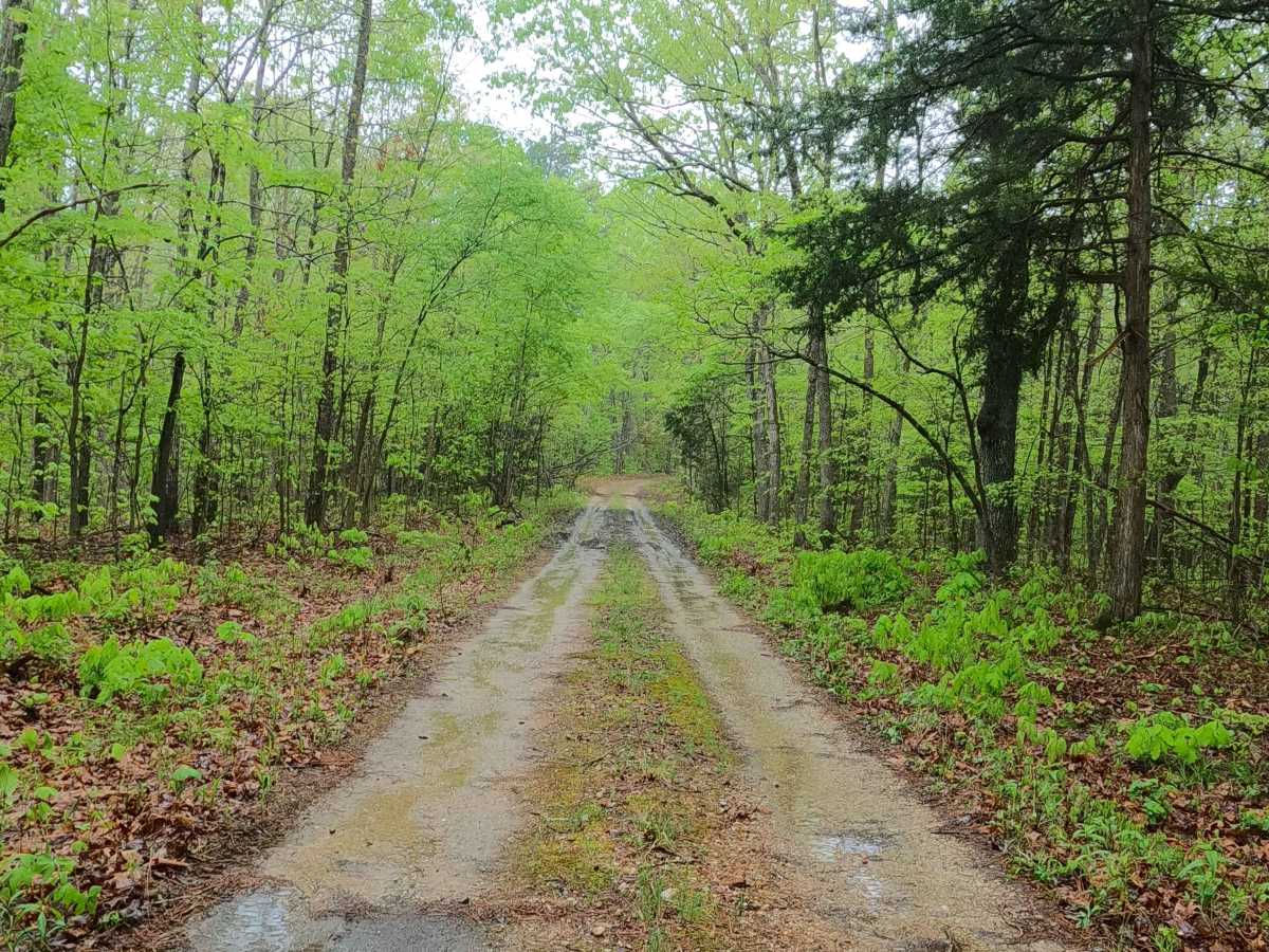
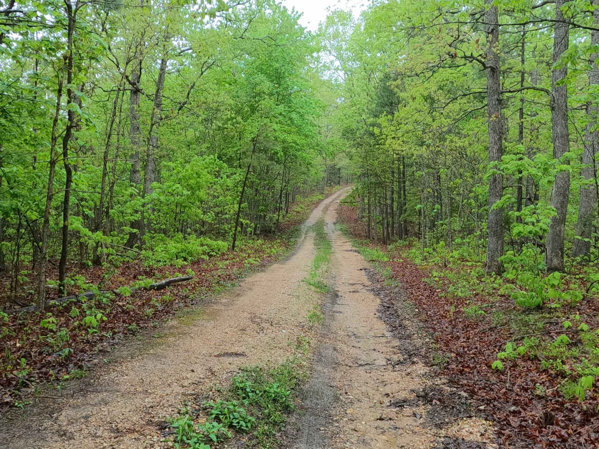
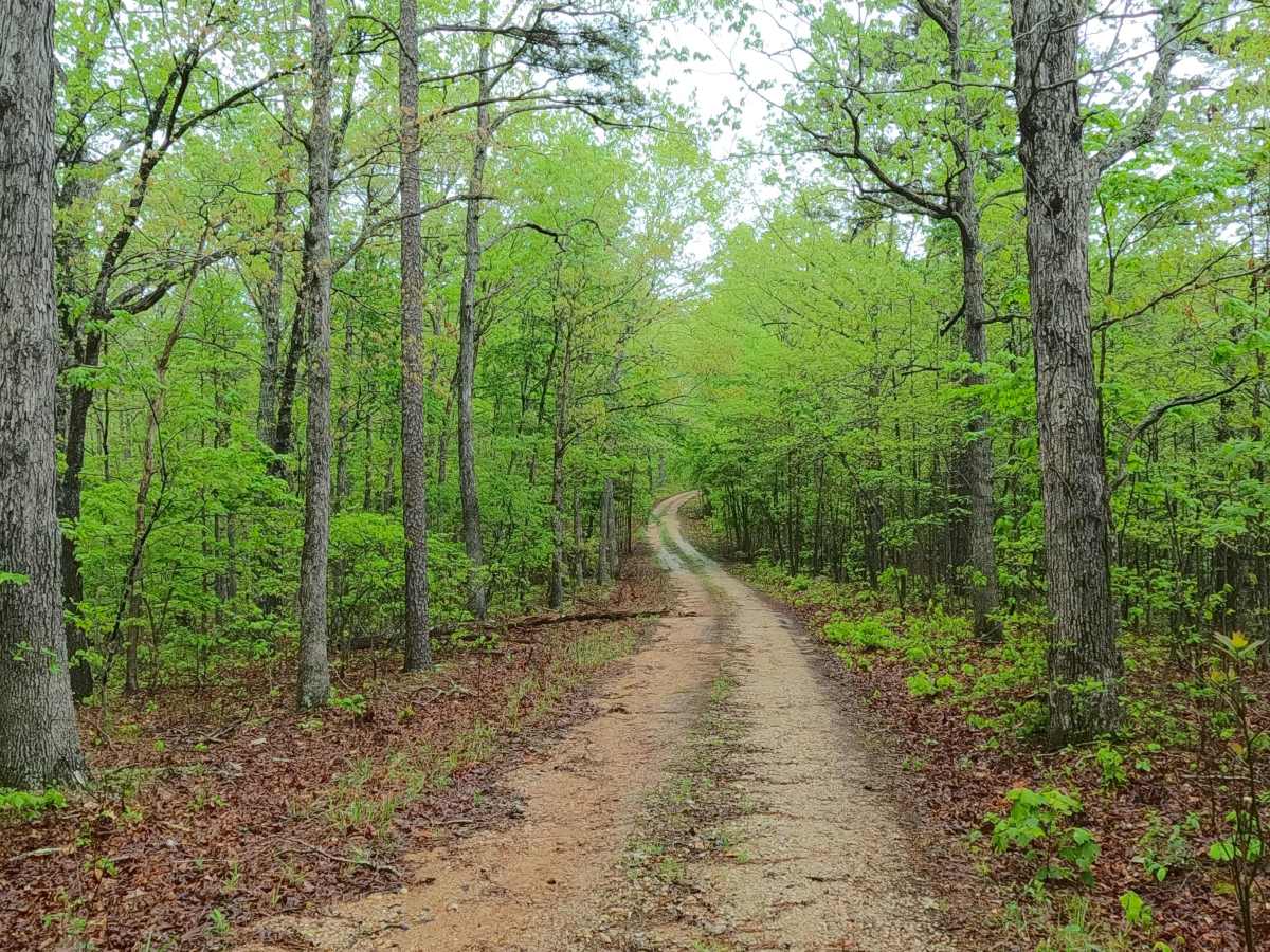
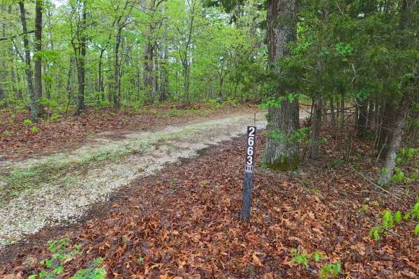
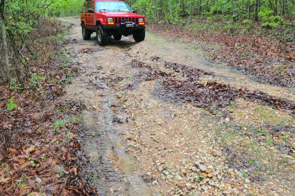
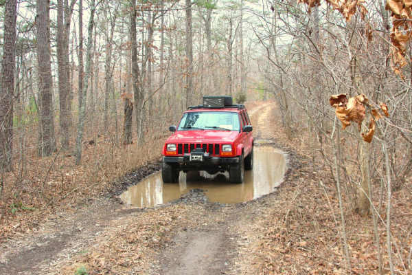
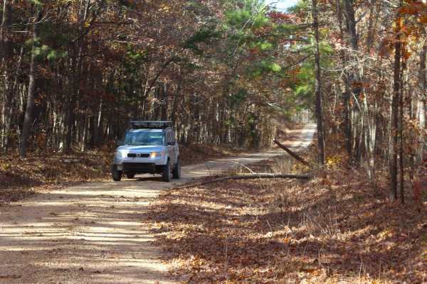
Ironwash Spur A FS 2664A is a semi-maintained gravel road within the Potosi Unit of Mark Twain National Forest. The road spurs north from the Ironwash or Crocker Road ICR 9 FS 2664, heading towards the Iron and Washington County line that crosses the ridge top just south of the Herb Road valley. The road features graceful turns, mild elevation changes, and elements of gravel-based terrain throughout, with occasional soft spots and surface mud, ending at a turnaround that coincides with the MVUM's legal sanction. From the turnaround, the road has a main path, and several shoot-offs that highlight its key use of hunting and or other nature-related activities. A great road to come and enjoy if desiring some solitude away from Council Bluff Lake.
Difficulty
Ironwash Spur A is given a base rating of 1/10, being a single-width, two-track, maintained gravel road that rides the gentle spines of the ridgetop to the legal endpoint, with occasional soft spots along the track in the bowl-like sections of the road. It is safe to expect all the normal gravel road complications of washboards, mounding, and potholes. The difficulty could increase due to a lack of maintenance or extreme wet and inclement conditions.