Parole Dam Trail

Total Miles1.8
Technical Rating
5Moderate
Best TimeSummer
Trail TypeFull-Width Road
Accessible By
Open Trail Map

Trail Overview

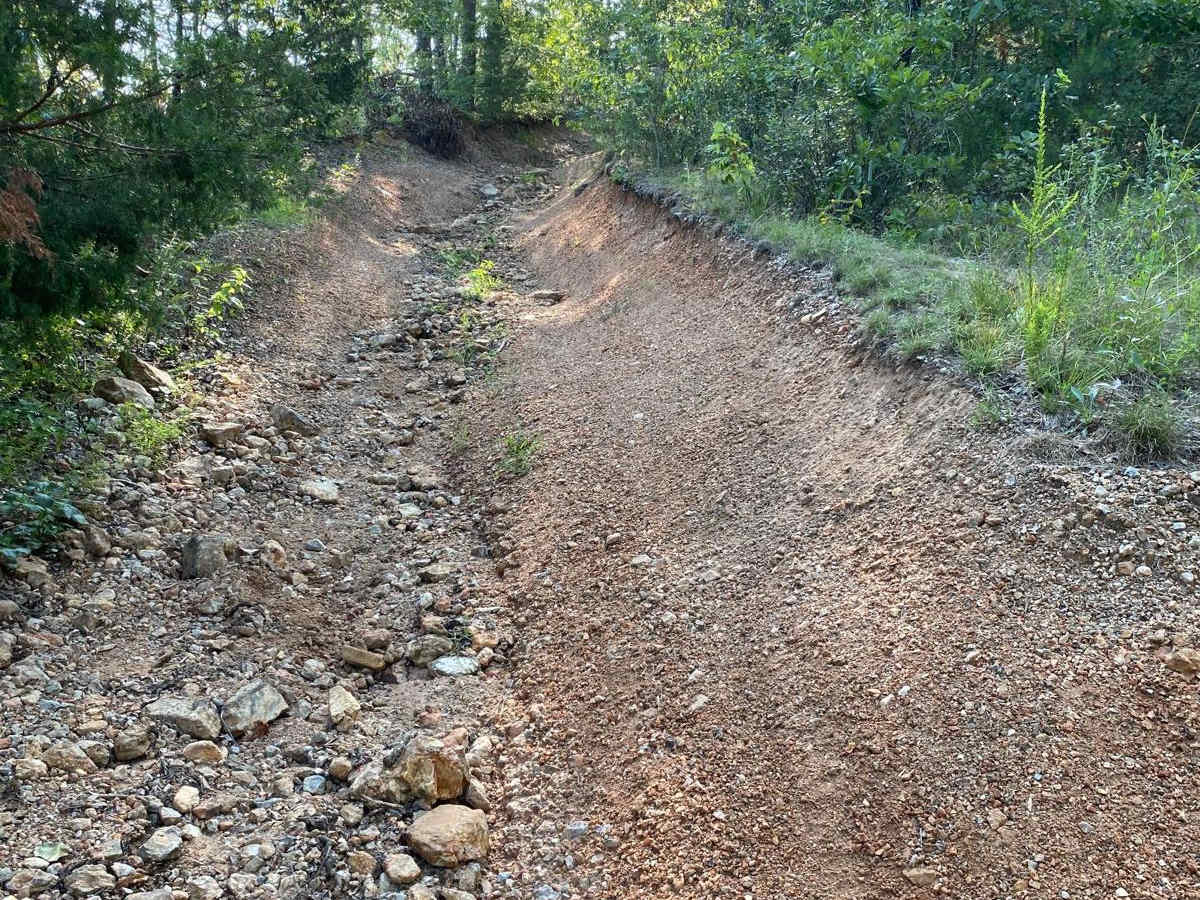
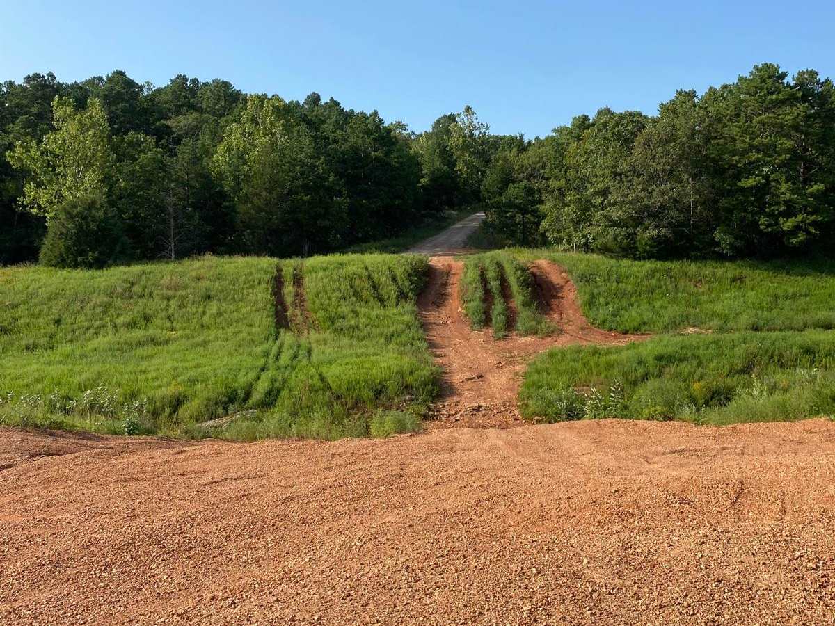
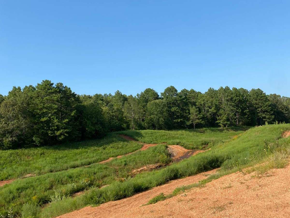
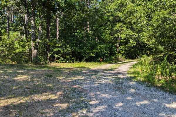
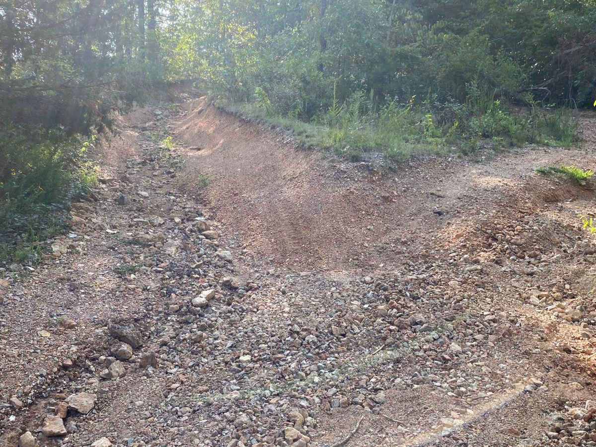
This is a forest trail that takes you the fun way to Parole Dam. There's a good downhill rocky section (tougher going back up)-there is a bypass, but the extra credit lines require good ground clearance. Shortly after exiting the trail, you will arrive at the Parole Dam area with opportunities for some hard climbs and obstacles.

Photos of Parole Dam Trail

Difficulty

There are big rocks that require a proper line to clear.

Technical Rating

5

Status Reports

Add Status Report
Matthew Nordmann
Jul 01, 2026
1995 Jeep Wrangler
Open
Normal
Tail was open but a little washed out. Made it to the top but with only three tires intact.
Jacob Todd
Dec 14, 2025
2004 Jeep Wrangler
Open
Dusty
Joel S
Sep 12, 2025
2024 Ford Bronco
Open
DustyMuddy/Wet
Great trail with a surprising mud pit. It’s been so dry out. Lots of clay mud, this stuff sticks to everything so be sure to wash of before you get home or you’ll have a red driveway. Plenty of trails with heavy wash out and rocks that bring a challenge. Few are very steep that’ll test your skill and ride. Nice trail here that’s used for power line maintained that allows for some speeds.
Jon Bright
Jul 12, 2025
2022 RAM 1500
Open
Normal
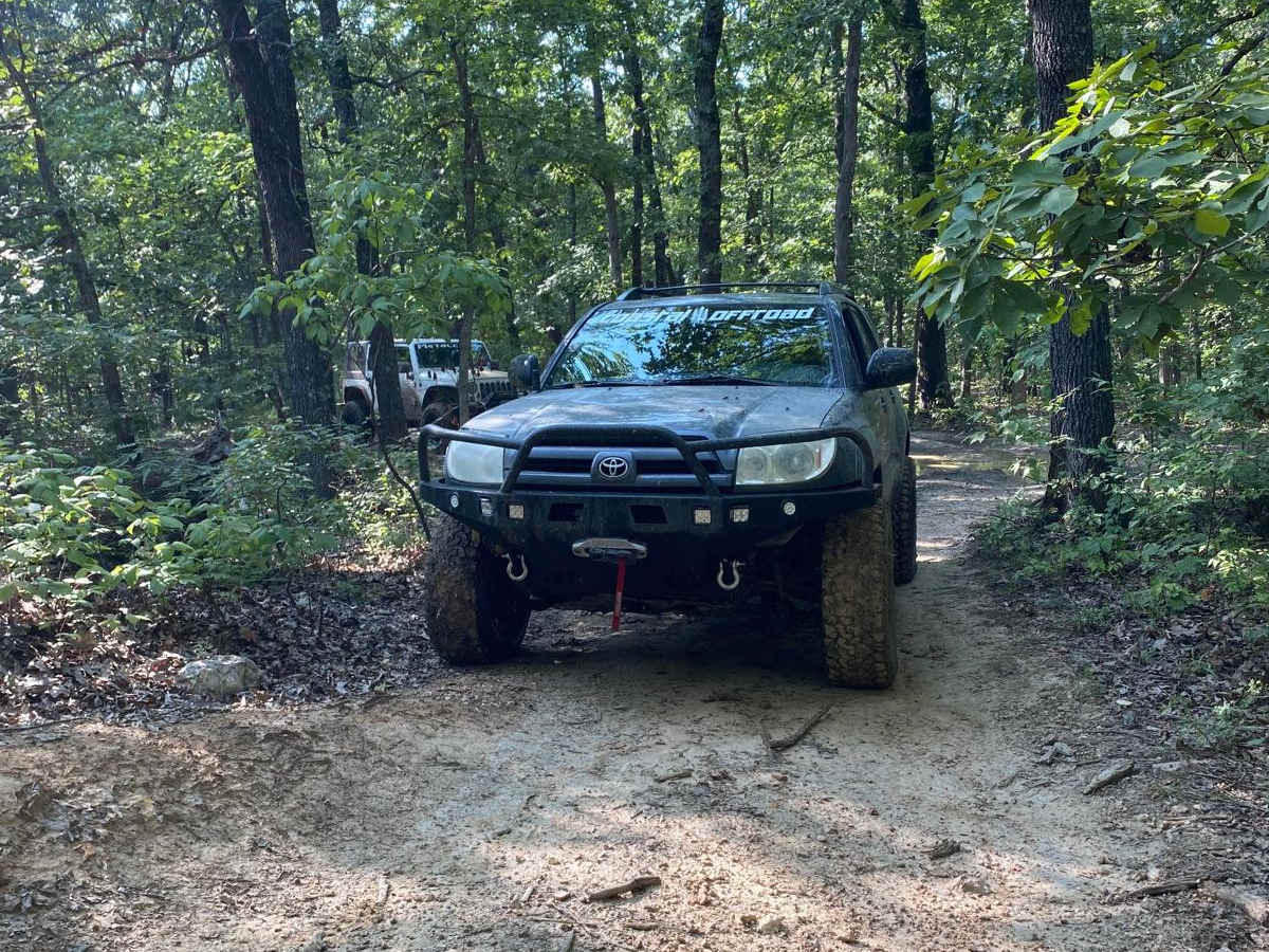
The trail was great but it’s a bit tight for a full size truck. Didn’t get through all the section due to me not having a lift and branches grown onto the trail too tight for a full sized. Several jeeps were going through just fine though.

Parole Dam Trail Trail can be accessed by the following ride types:

  • Single Track
  • 50 Inch
  • 60 Inch
  • High Clearance
  • Full Width

Parole Dam Trail Map

The onX Offroad Difference

onX Offroad combines trail photos, descriptions, difficulty ratings, width restrictions, seasonality, and more in a user-friendly interface. Available on all devices, with offline access and full compatibility with CarPlay and Android Auto. Discover what you're missing today!

Open Trail Map