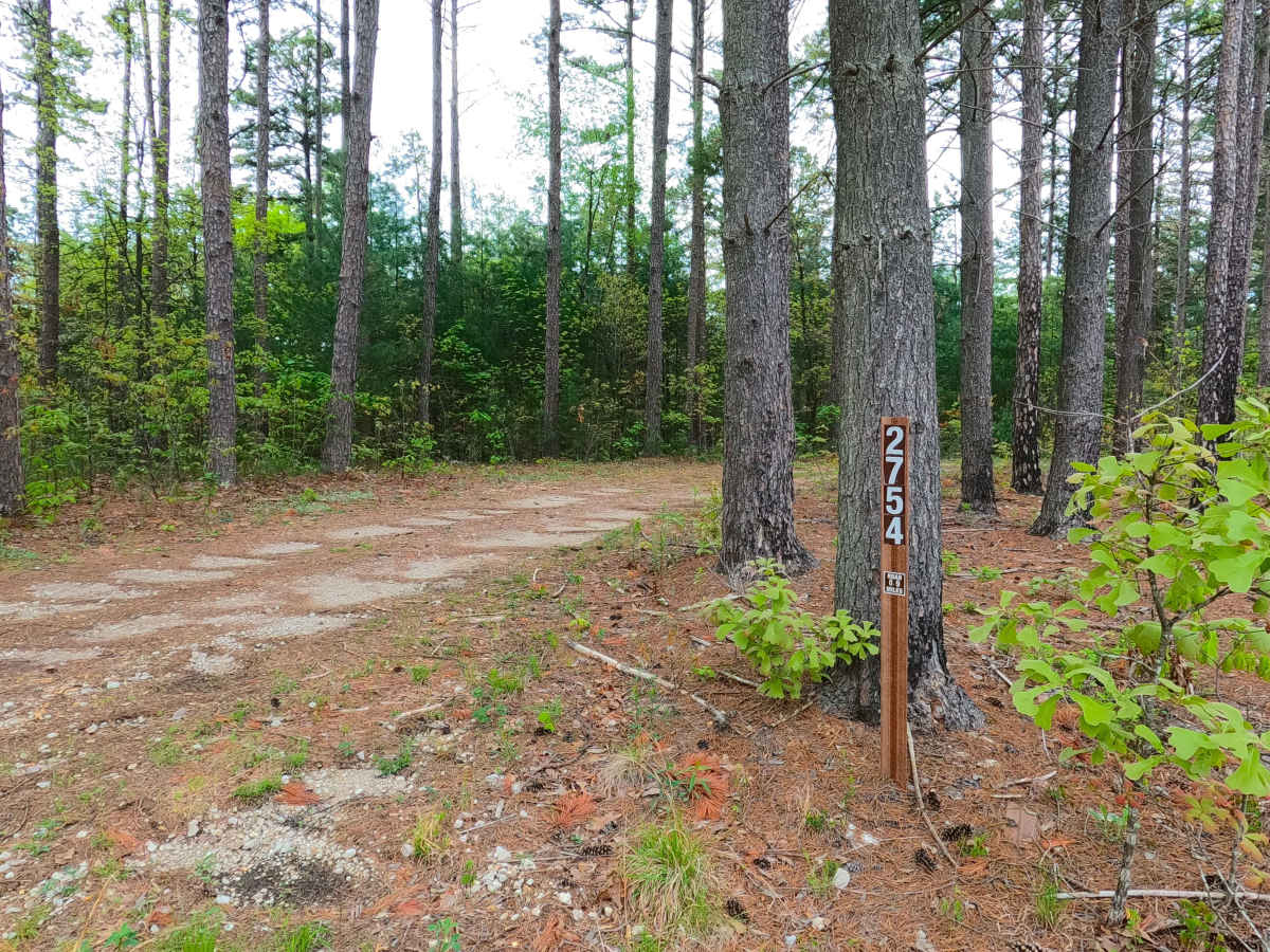
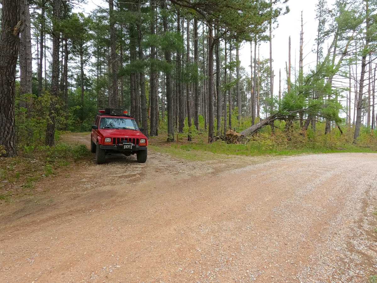
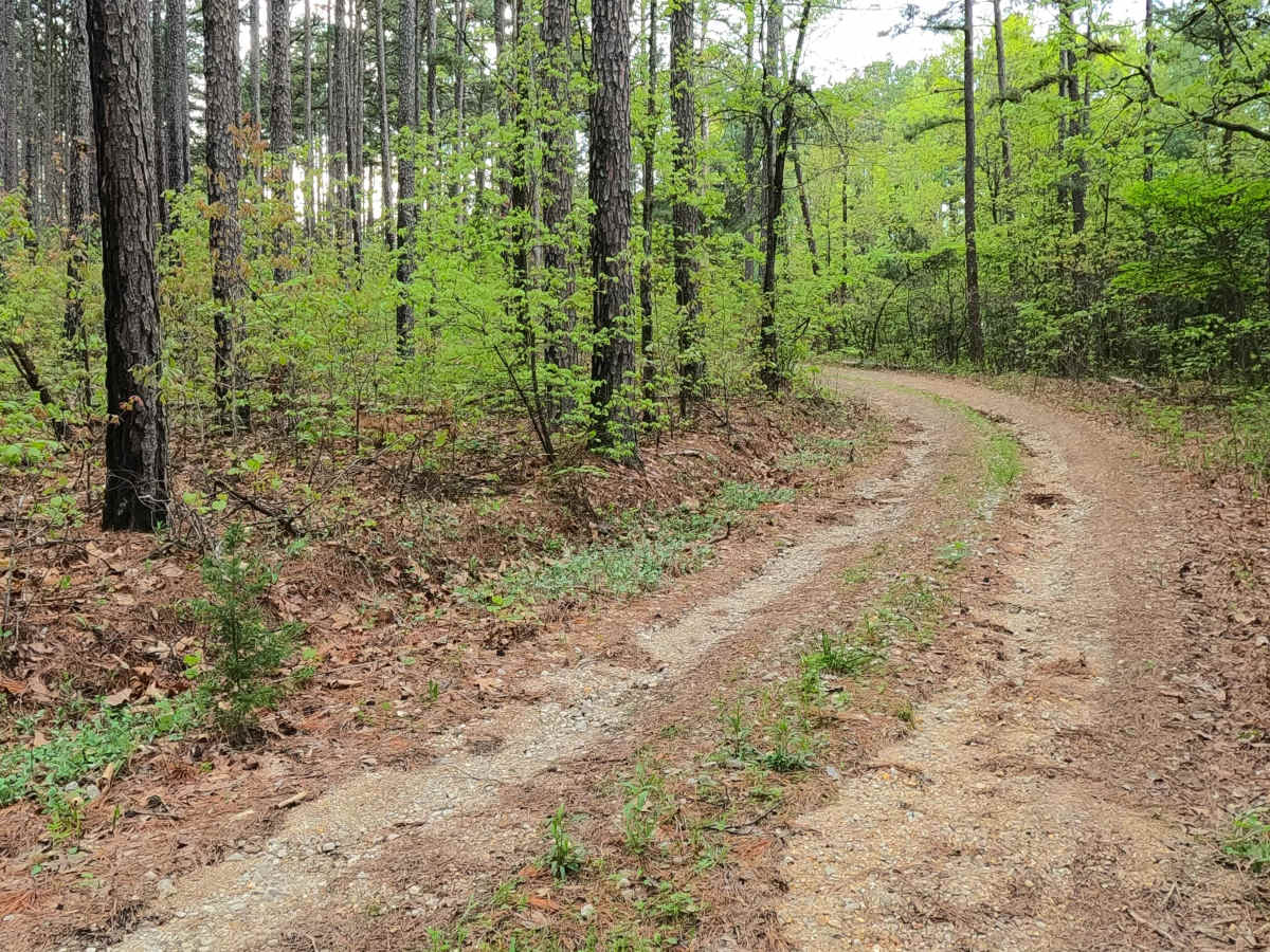
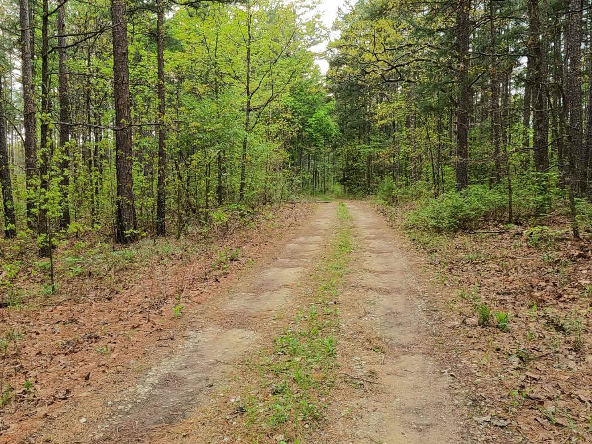
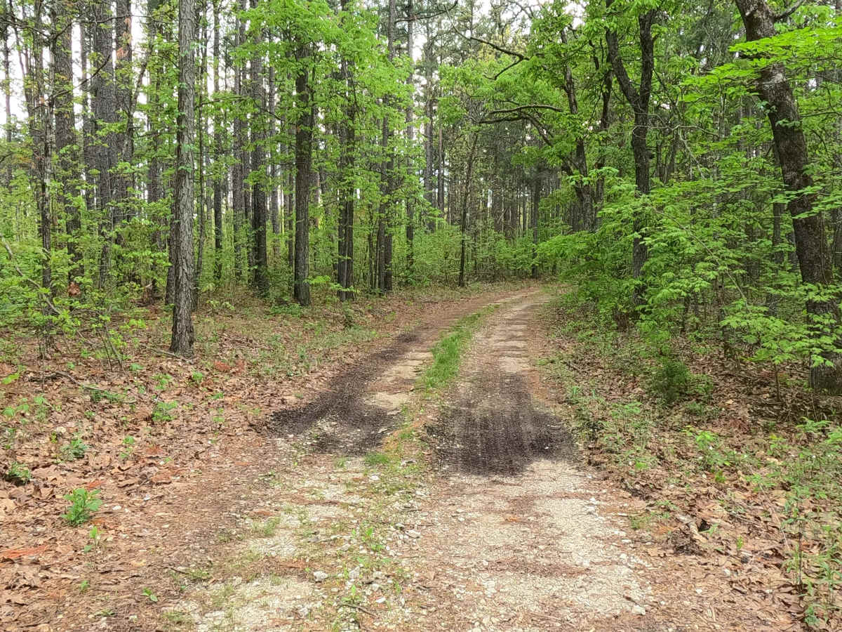
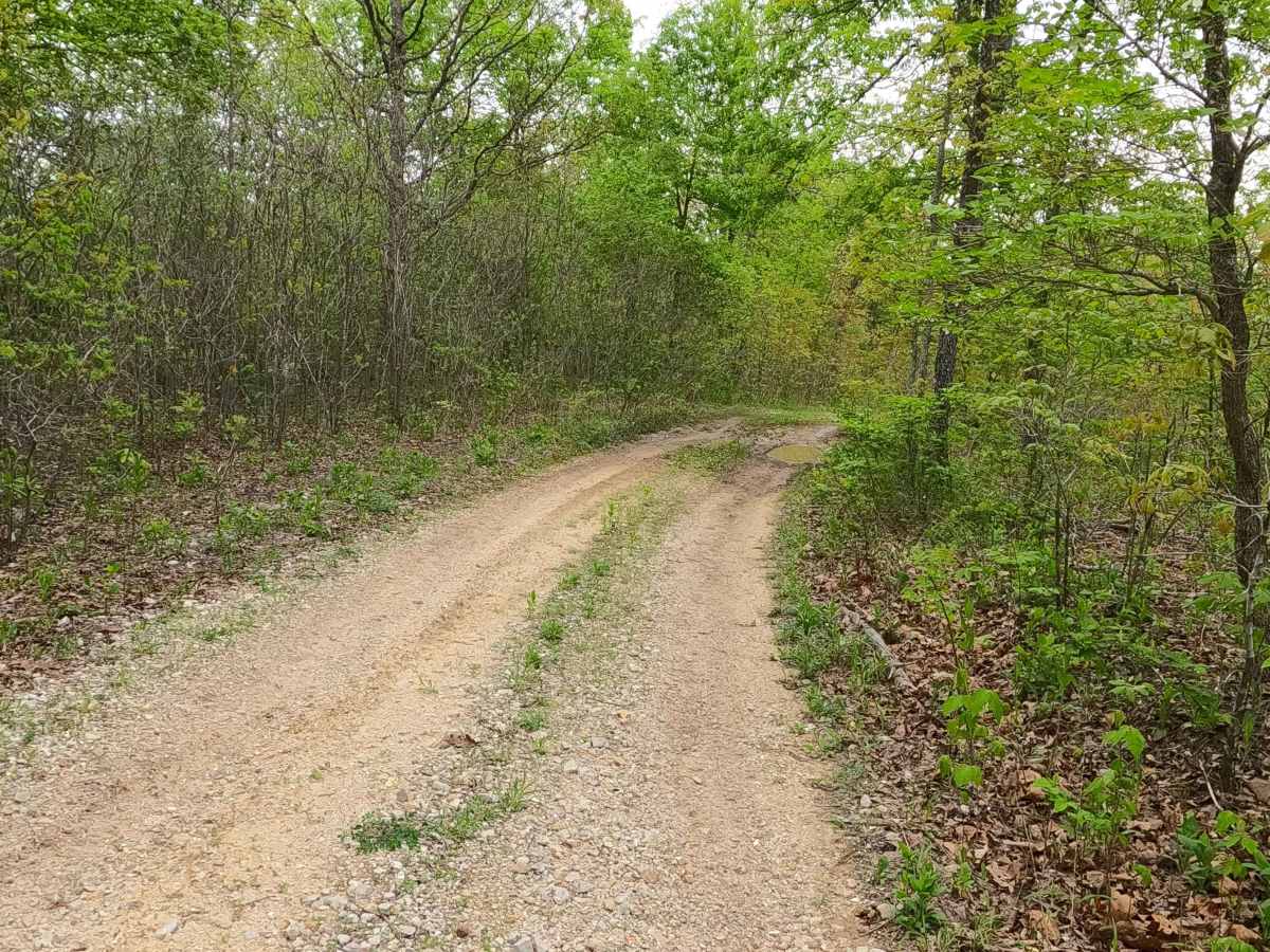
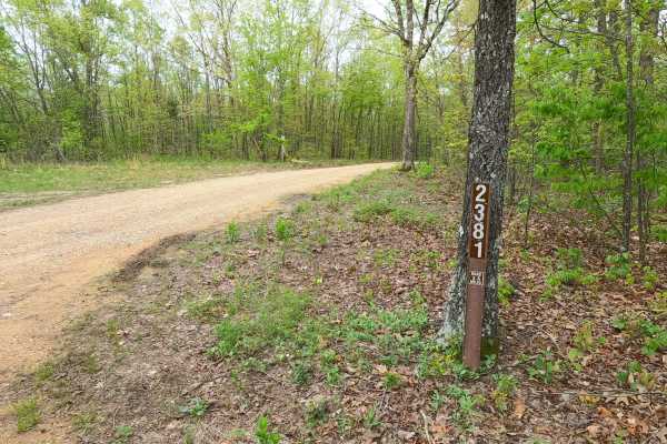
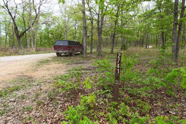
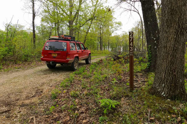
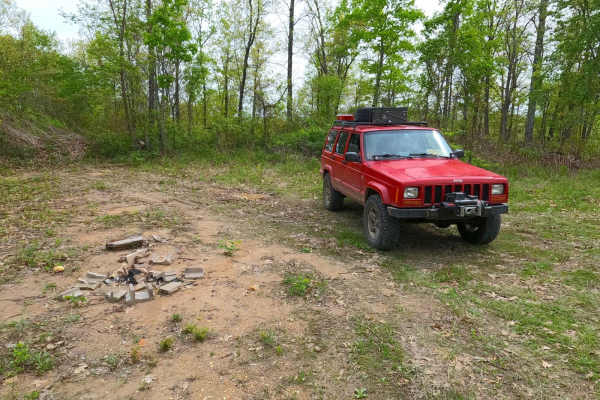
Trail Overview
James Ridge FS 2754, is a semi-maintained gravel forest road within the Salem Unit of Mark Twain National Forest. The road features a ridge-top ride on the hill with James Branch Creek to the south and Chandler Hollow/Lost Lake to the east. Along the way, there are small water collection spots, surface mud, and coarse rock. Off the main track, there are several cutouts and old spur roads to use for dispersed camping or to pull off and take a break, enjoying the peaceful vibes of this road, which features a hiking path to James Branch Creek on the western side of Lost Lake.
Difficulty
The James Ridge is given a base rating of 1/10, being a single-width, two-track, maintained gravel road, going mildly downhill to the legal endpoint, with occasional soft spots along the track in the bowl-like sections of the road. It is safe to expect all the normal gravel road complications of washboards, mounding, and potholes. The difficulty could increase due to a lack of maintenance or extreme wet and inclement conditions.
History
This road parallels just to the south of the old Sligo and Eastern Railroad grade that comes from the western side of Lost Lake. For greater details and context to the history of the railroad and the lake, check out the history section in the James Branch FS 2741 feature trail.