
Dirt Bike Trails
Near Tumalo, Oregon
Explore All Dirt Bike Trails Near Tumalo, Oregon
Dirt Bike Trails Near Tumalo, Oregon
Discover the best dirt bike trails near you. Browse trail maps, check difficulty ratings, and find your next adventure — whether you're looking for a quick ride or an all-day expedition.
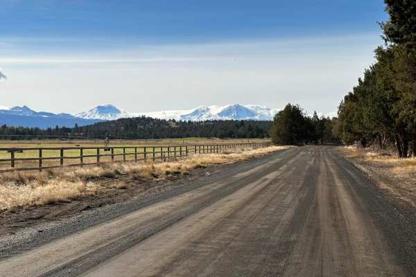
Barr Road Cut Through
A rad way to get from Tumalo to the Cline Butte Trail System. This is an unmaintained road that is the fun route between Tumalo and Sisters or Redmond. Generally plenty of friendly people along the way that helps out the less equipped. Cline Butte offers trails for all vehicle types and technical te...
Learn more about Barr Road Cut Through
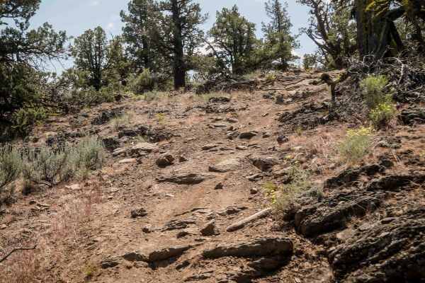
13
Trail 13 is a short 0.8-mile connector between Trails 12 and 11, featuring whoops and tight curves through juniper trees. The trail has scattered chunky embedded rocks and one moderate rock feature--a ledge about a foot tall on a layer of embedded rock crossing the path. Due to these technical eleme...
Learn more about 13
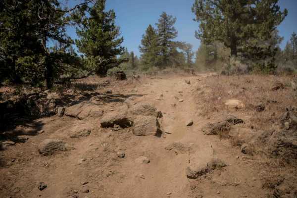
11
Trail 11 is one of the longer ATV routes in the system, stretching 6.3 miles. It features a mostly flat and gradual profile with tight curves winding through juniper trees. The trail includes some rough embedded rock sections and scattered loose rocks. Small hills add minor elevation changes, but ov...
Learn more about 11
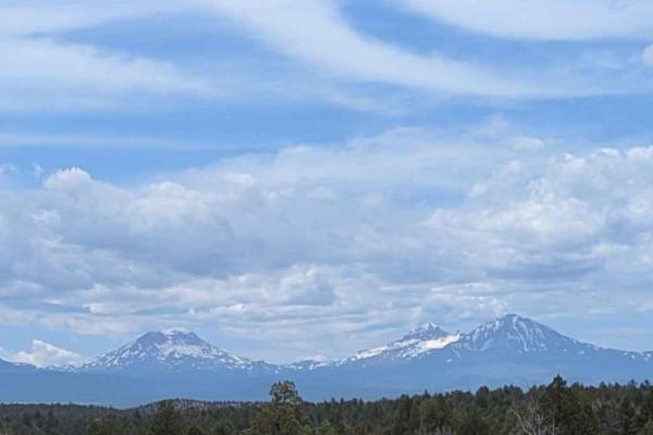
Cline Buttes OHV Trail 32
Cline Buttes OHV Trail 32 is a beautiful and dynamic double-track route that offers a wonderful mix of scenic views and engaging terrain. The adventure begins in an open OHV play area, initially following a network of braided, sandy roads that meander southward through scattered juniper trees. Early...
Learn more about Cline Buttes OHV Trail 32
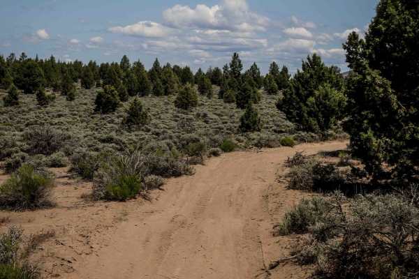
12
Trail 12 is a 1.4-mile-long loop off of Trail 11, featuring mostly smooth, easy two-track terrain with consistent whoops. The trail includes a few embedded rocks and small natural drop-offs under a foot tall. Curvy in layout, it offers scenic views of Mount Hood framed by juniper trees.
Learn more about 12
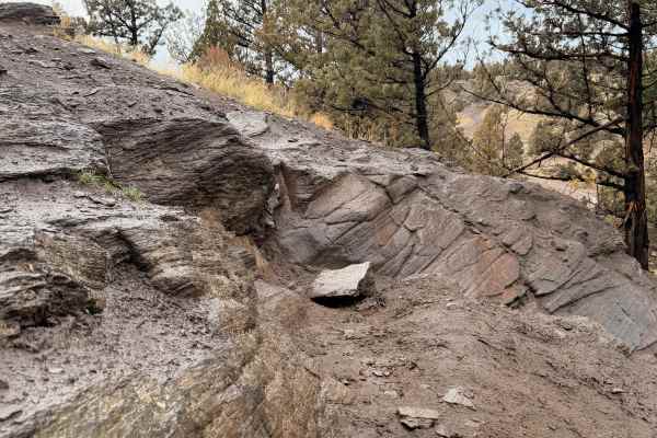
Cline Butte Trail 16
Trail 16 is a short but highly technical route located within the Cline Butte OHV area. The trail begins with rolling high-desert terrain that allows drivers to assess conditions before committing to the more challenging upper section. As elevation and terrain tighten, the route transitions into a s...
Learn more about Cline Butte Trail 16
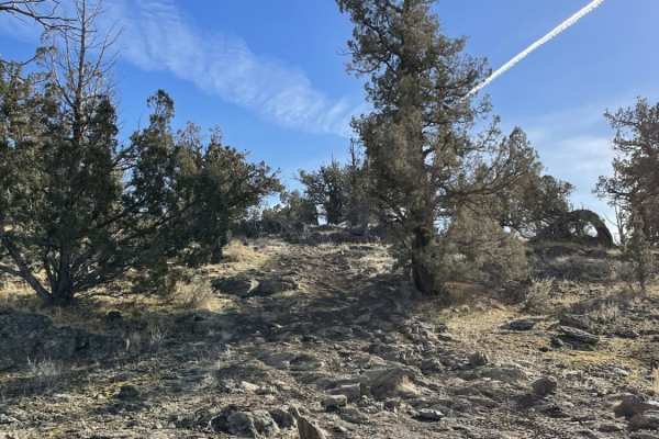
Trail #34
Part of the Cline Buttes OHV system, trail #34 is classified as "most difficult" for class I-IV vehicles. It can be run from either end, with easy access from the Barr North staging area. The trail features a number of rock obstacles from easy to very challenging. Most of the bigger obstacles have b...
Learn more about Trail #34
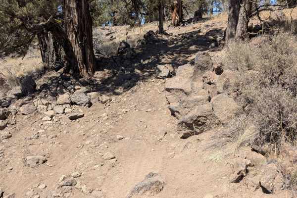
Cline Buttes Off Highway Vehicle Trail 41
Cline Buttes Off Highway Vehicle Trail 41 is a scenic, blue-rated double-track route. The journey primarily features a mostly flat and winding path of compact sand that gently meanders through a dense, fragrant canopy of tight juniper trees. While much of the drive is smooth, the trail is frequently...
Learn more about Cline Buttes Off Highway Vehicle Trail 41
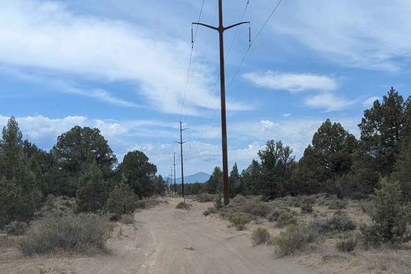
Cline Buttes OHV Trail 27
Welcome to Cline Buttes OHV Trail 27, a highly convenient and heavily utilized access route that stretches from the main OHV play area to the far western boundary of the trail system. This mostly wide, double-track dirt road primarily follows a prominent set of large wooden powerline poles, guiding ...
Learn more about Cline Buttes OHV Trail 27
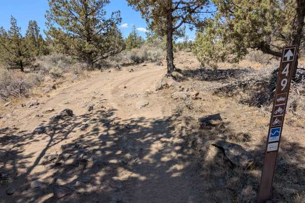
Cline Buttes Off Highway Vehicle Trail 49
Cline Buttes Off Highway Vehicle Trail 49 is a blue-rated double-track road that meanders beautifully along a low ridgeline. The route weaves through a high-desert landscape filled with tight, fragrant juniper trees, offering a flat and sandy baseline surface. As you travel along this elevated track...
Learn more about Cline Buttes Off Highway Vehicle Trail 49
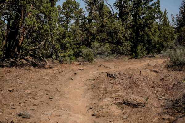
35
Trail 35 is a one-mile route that is really wide with gradual curves and scattered loose rock throughout. It features occasional sharp, chunky embedded rocks but remains manageable. About halfway through, the trail connects to spur 52. The route forms a half loop between trails 33 and 27, ending und...
Learn more about 35
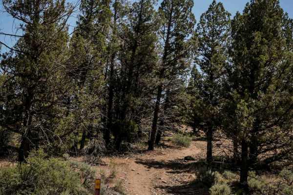
52
Trail 52 is a quarter-mile spur connecting Trail 35 to Trail 34. This easy, wide route features a rocky surface with embedded and loose rocks, along with some whoops and tighter curves through the trees. A small climb with loose rock near the north end adds a slight challenge but keeps it suitable f...
Learn more about 52
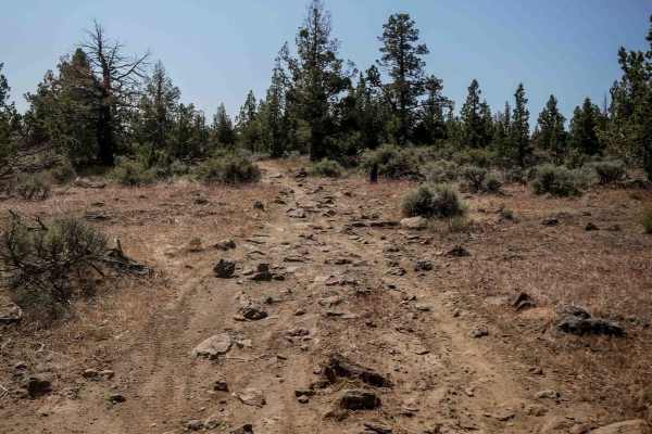
25
Trail 25 is a 1.3-mile ATV route winding through junipers and high desert terrain. The trail features sandy dirt with embedded chunky rock that creates a rougher surface but no technical ledges or major obstacles. It includes small hills and quick curves through the trees, remaining gradual througho...
Learn more about 25

4609000
This trail begins as a well-maintained road but progressively becomes rougher, with increasingly rocky terrain, deep undulations, and sections where a 4x4 may be necessary. This route suits high-clearance 4x4 vehicles, SxSs, and ATVs. One particularly rough section comes up suddenly near a designate...
Learn more about 4609000
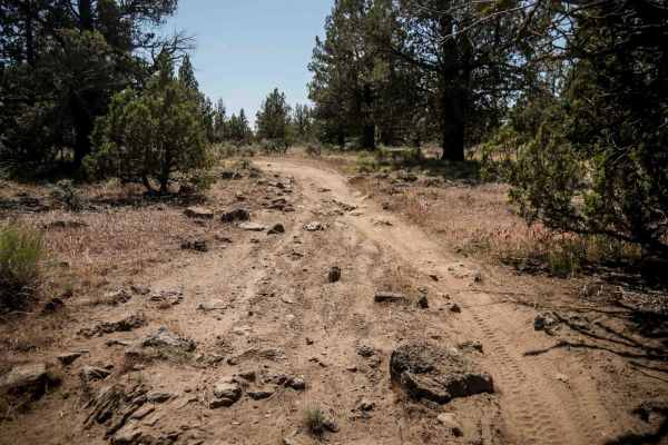
33
Trail 33 is an easy 1.8-mile ride that curves gently through junipers and sagebrush. The surface is mostly smooth dirt, with some sections featuring embedded rocks and small rock ledges about a foot tall. The trail widens at times, with tons of whoops, but remains relaxed and scenic, and easy for mo...
Learn more about 33
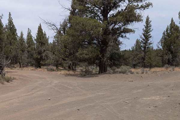
Cline Buttes OHV Trail 21
Welcome to Cline Buttes OHV Trail 21, a wonderfully scenic and short traversing route through a beautiful high-desert landscape. This path primarily consists of a distinctly narrow, meandering double-track dirt road featuring mostly flat, compacted sand. As you cruise along this relaxing stretch, yo...
Learn more about Cline Buttes OHV Trail 21
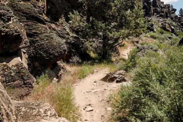
15
Trail 15 is a scenic and more technical route that starts wide on the north end with large whoops. The trail passes impressive volcanic rock outcroppings and rock walls before narrowing and going through more embedded rock sections with fewer whoops. It winds through a canyon framed by tall rock wal...
Learn more about 15
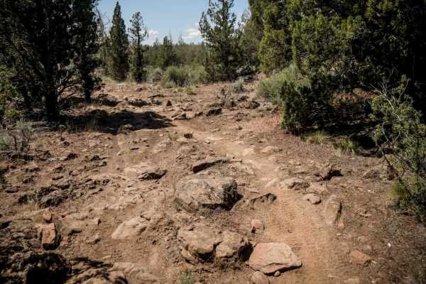
43
Trail 43 is a dirt bike-only route running through juniper trees in high desert terrain. It is a long 5-mile dirt track with embedded chunky rocks throughout, creating a bumpier surface without being overly technical. The trail alternates between narrow single-track and slightly wider sections. It p...
Learn more about 43
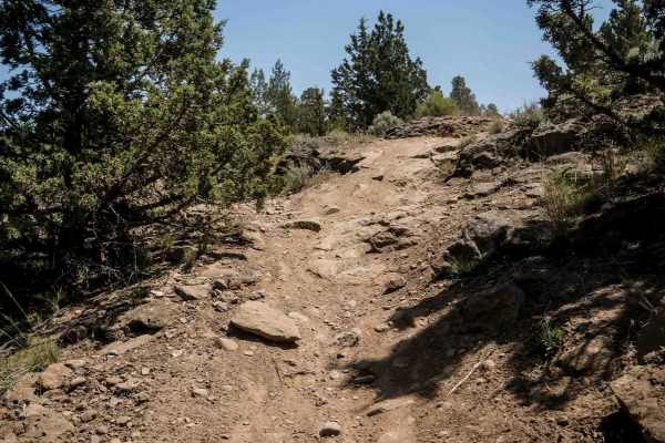
26
Trail 26 is a narrower single-track that winds through high desert/low alpine terrain, featuring junipers, pinyon pine, and sagebrush. The trail includes tight curves, embedded rocks, and deep whoops, with several sections requiring careful navigation over chunky embedded rocks. Riders descend a wid...
Learn more about 26
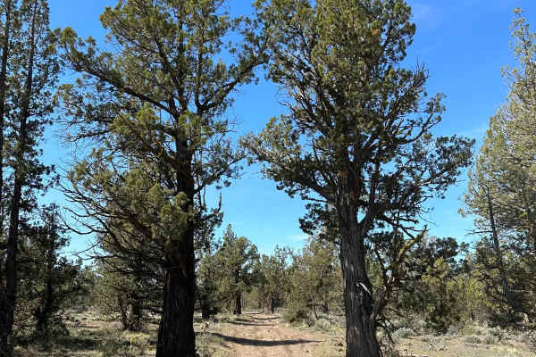
Cline Butte Trail 31
This is a really fun trail to hit with almost any vehicle. Sprinter-type vans would be too tall for some of the low-hanging trees. Starting out at the staging area, travel West across the rocky powerline road until you hit the trailhead. The trail consists of rock gardens and fast sandy flow trails.
Learn more about Cline Butte Trail 31
ATV trails near Tumalo, Oregon
Explore ATV-friendly trails near you. These trails are accessible for vehicles up to 50 inches wide, perfect for ATVs and smaller off-road machines.
Barr Road Cut Through
A rad way to get from Tumalo to the Cline Butte Trail System. This is an unmaintained road that is the fun route between Tumalo and Sisters or Redmond. Generally plenty of friendly people along the way that helps out the less equipped. Cline Butte offers trails for all vehicle types and technical te...
Learn more about Barr Road Cut Through
13
Trail 13 is a short 0.8-mile connector between Trails 12 and 11, featuring whoops and tight curves through juniper trees. The trail has scattered chunky embedded rocks and one moderate rock feature--a ledge about a foot tall on a layer of embedded rock crossing the path. Due to these technical eleme...
Learn more about 13
11
Trail 11 is one of the longer ATV routes in the system, stretching 6.3 miles. It features a mostly flat and gradual profile with tight curves winding through juniper trees. The trail includes some rough embedded rock sections and scattered loose rocks. Small hills add minor elevation changes, but ov...
Learn more about 11
Cline Buttes OHV Trail 32
Cline Buttes OHV Trail 32 is a beautiful and dynamic double-track route that offers a wonderful mix of scenic views and engaging terrain. The adventure begins in an open OHV play area, initially following a network of braided, sandy roads that meander southward through scattered juniper trees. Early...
Learn more about Cline Buttes OHV Trail 32
UTV/side-by-side trails near Tumalo, Oregon
Find UTV and side-by-side trails near you. These trails accommodate vehicles up to 60 inches wide, ideal for UTVs, side-by-sides, and wider off-road rigs.
Barr Road Cut Through
A rad way to get from Tumalo to the Cline Butte Trail System. This is an unmaintained road that is the fun route between Tumalo and Sisters or Redmond. Generally plenty of friendly people along the way that helps out the less equipped. Cline Butte offers trails for all vehicle types and technical te...
Learn more about Barr Road Cut Through
Cline Buttes OHV Trail 32
Cline Buttes OHV Trail 32 is a beautiful and dynamic double-track route that offers a wonderful mix of scenic views and engaging terrain. The adventure begins in an open OHV play area, initially following a network of braided, sandy roads that meander southward through scattered juniper trees. Early...
Learn more about Cline Buttes OHV Trail 32
Cline Butte Trail 16
Trail 16 is a short but highly technical route located within the Cline Butte OHV area. The trail begins with rolling high-desert terrain that allows drivers to assess conditions before committing to the more challenging upper section. As elevation and terrain tighten, the route transitions into a s...
Learn more about Cline Butte Trail 16
Cline Buttes Off Highway Vehicle Trail 41
Cline Buttes Off Highway Vehicle Trail 41 is a scenic, blue-rated double-track route. The journey primarily features a mostly flat and winding path of compact sand that gently meanders through a dense, fragrant canopy of tight juniper trees. While much of the drive is smooth, the trail is frequently...
Learn more about Cline Buttes Off Highway Vehicle Trail 41
The onX Offroad Difference
onX Offroad combines trail photos, descriptions, difficulty ratings, width restrictions, seasonality, and more in a user-friendly interface. Available on all devices, with offline access and full compatibility with CarPlay and Android Auto. Discover what you're missing today!
Open Trail Map