
Dirt Bike Trails
Near Troy, North Carolina
Explore All Dirt Bike Trails Near Troy, North Carolina
Dirt Bike Trails Near Troy, North Carolina
Discover the best dirt bike trails near you. Browse trail maps, check difficulty ratings, and find your next adventure — whether you're looking for a quick ride or an all-day expedition.
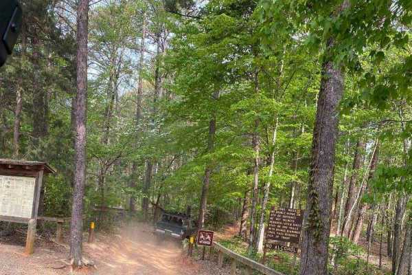
390 - Daniel
Expert riders only! Daniel is one of 3 trails that start with a "D" that the locals know well. This trail sees frequent rollovers and vehicle damage, resulting in its "Black" trail rating. Daniel starts at the Cotton Place trailhead on the east side of the Badin Lake OHV area, within the Uhwarrie Na...
Learn more about 390 - Daniel
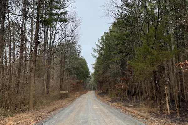
FS-576
FS-576 in Uwharrie National Forest, also known as Moccasin Cir, is a gravel road that splits the National Forest from east to west and dead-ends at the Deep Woods camp area. Along the way, there are several primitive campsites just off the road. Some of them have stunning views of Badin Lake just so...
Learn more about FS-576
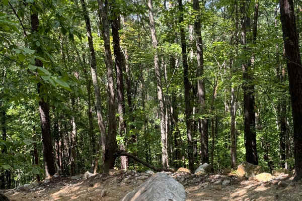
Dickey Bell Trail 91
Dickey Bell is the second most challenging trail in Uwharrie National Forest and the only Jeep Badge of Honor Trail in North Carolina. The majority of the trail is an easy trail with small humps that could result in lower ground clearance vehicles bottoming out or scraping dirt. The major obstacle i...
Learn more about Dickey Bell Trail 91
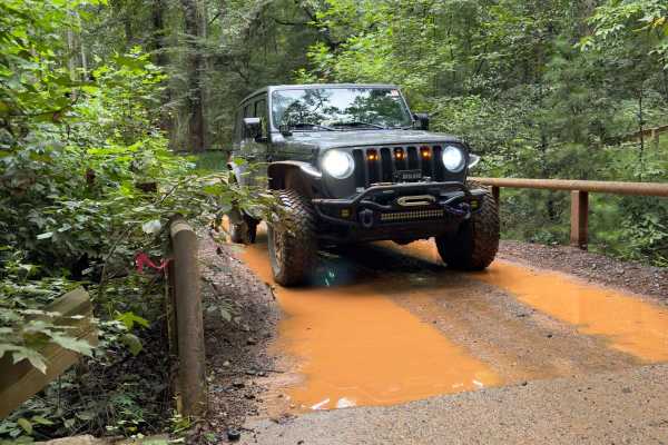
Rocky Mount Loop Trail 92
Rock Mount Loop was formerly a loop trail and features the perfect trailhead for airing down. The trail is seemingly divided into two by the forest road used to access the trail. One portion has a group of three mild to moderate obstacles ranging from tight turns, to large bolder rock gardens, to lo...
Learn more about Rocky Mount Loop Trail 92
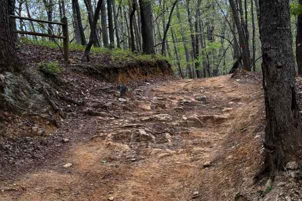
Slab Pile Trail 79
Slab Pile is a fun trail with off-camber portions, small hill climbs, ruts, and several optional challenges. Most of the trail is accessible to most vehicles with moderate ground clearance. Little to none of the main trail requires 4WD, but some of the optional lines and obstacles will likely requir...
Learn more about Slab Pile Trail 79
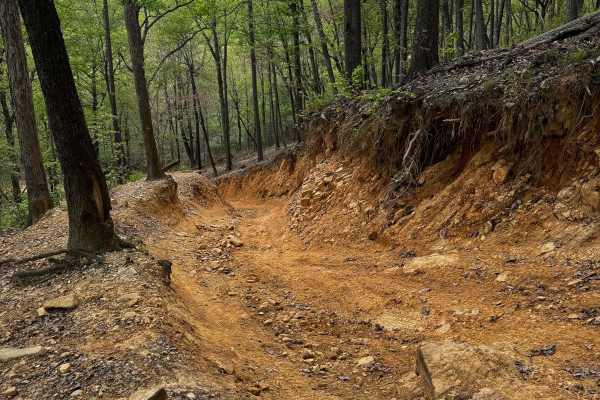
Dutch John Trail 90
Dutch John is one of the harder trails within the Uwarrie National Forest, part of the "Dirty Ds" in Uwharrie. It offers a variety of obstacles ranging from rolling humps to small stream crossings and a couple of technical hill climbs and descents. The trail can be done on dirt bikes, ATVs, and othe...
Learn more about Dutch John Trail 90
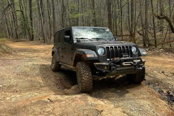
Falls Dam Trail 96
Falls Dam trail is another easier trail in Uwharrie National Forest. It has views of the forest humps and a few optional challenges. For the most part, the trail is a shelf road in the hills and can be done in most off-roading vehicles. Some optional challenges can be taken to add a little variety t...
Learn more about Falls Dam Trail 96

Sawmill Trail 93
The Sawmill Trail is an easier trail through the forest. It features multiple short hill climbs that can be slightly off-camber, a few large puddles or stream crossings, and all-around good views of the forest. The trail is generally pretty easy and can offer a good area to begin on, with little pot...
Learn more about Sawmill Trail 93
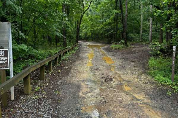
Wolfden 89
Wolfden can be a challenging trail if all optional challenges are taken. There is a variety of small water crossings, hill climbs that may be off-camber, switchbacks, a handful of large rocks, a few small rock gardens, and medium-to-large drops and ledges. The first section after the trailhead is ge...
Learn more about Wolfden 89
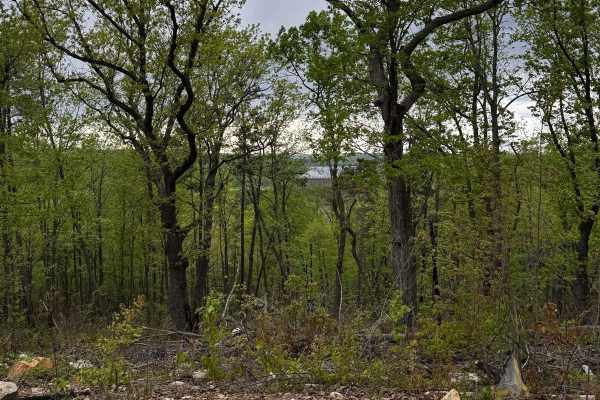
Lake View Trail 69
Lake View Trail is an easier trail offering great views of Uwharrie National Forest and Badin Lake. A view of Badin Lake can be seen about halfway through the trail. Most of the trail is an easy shelf road that winds along the hills and mountains of the forest. There are a few optional challenges th...
Learn more about Lake View Trail 69
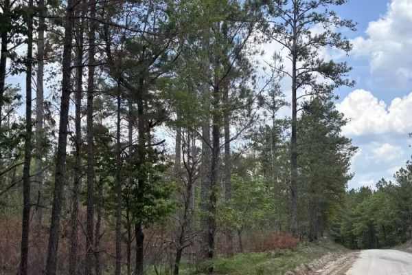
Swift Creek Road
Swift Creek Road runs along the boundary of the Carolina Sandhills National Wildlife Refuge. The road surface was mostly sandy and light-colored, with some loose sand, pine needles, and small debris along the edges. The route offers wide open views of long sand roads, pine forest, and big sky. There...
Learn more about Swift Creek Road
ATV trails near Troy, North Carolina
Explore ATV-friendly trails near you. These trails are accessible for vehicles up to 50 inches wide, perfect for ATVs and smaller off-road machines.
390 - Daniel
Expert riders only! Daniel is one of 3 trails that start with a "D" that the locals know well. This trail sees frequent rollovers and vehicle damage, resulting in its "Black" trail rating. Daniel starts at the Cotton Place trailhead on the east side of the Badin Lake OHV area, within the Uhwarrie Na...
Learn more about 390 - Daniel
FS-576
FS-576 in Uwharrie National Forest, also known as Moccasin Cir, is a gravel road that splits the National Forest from east to west and dead-ends at the Deep Woods camp area. Along the way, there are several primitive campsites just off the road. Some of them have stunning views of Badin Lake just so...
Learn more about FS-576
Dickey Bell Trail 91
Dickey Bell is the second most challenging trail in Uwharrie National Forest and the only Jeep Badge of Honor Trail in North Carolina. The majority of the trail is an easy trail with small humps that could result in lower ground clearance vehicles bottoming out or scraping dirt. The major obstacle i...
Learn more about Dickey Bell Trail 91
Rocky Mount Loop Trail 92
Rock Mount Loop was formerly a loop trail and features the perfect trailhead for airing down. The trail is seemingly divided into two by the forest road used to access the trail. One portion has a group of three mild to moderate obstacles ranging from tight turns, to large bolder rock gardens, to lo...
Learn more about Rocky Mount Loop Trail 92
UTV/side-by-side trails near Troy, North Carolina
Find UTV and side-by-side trails near you. These trails accommodate vehicles up to 60 inches wide, ideal for UTVs, side-by-sides, and wider off-road rigs.
390 - Daniel
Expert riders only! Daniel is one of 3 trails that start with a "D" that the locals know well. This trail sees frequent rollovers and vehicle damage, resulting in its "Black" trail rating. Daniel starts at the Cotton Place trailhead on the east side of the Badin Lake OHV area, within the Uhwarrie Na...
Learn more about 390 - Daniel
FS-576
FS-576 in Uwharrie National Forest, also known as Moccasin Cir, is a gravel road that splits the National Forest from east to west and dead-ends at the Deep Woods camp area. Along the way, there are several primitive campsites just off the road. Some of them have stunning views of Badin Lake just so...
Learn more about FS-576
Dickey Bell Trail 91
Dickey Bell is the second most challenging trail in Uwharrie National Forest and the only Jeep Badge of Honor Trail in North Carolina. The majority of the trail is an easy trail with small humps that could result in lower ground clearance vehicles bottoming out or scraping dirt. The major obstacle i...
Learn more about Dickey Bell Trail 91
Rocky Mount Loop Trail 92
Rock Mount Loop was formerly a loop trail and features the perfect trailhead for airing down. The trail is seemingly divided into two by the forest road used to access the trail. One portion has a group of three mild to moderate obstacles ranging from tight turns, to large bolder rock gardens, to lo...
Learn more about Rocky Mount Loop Trail 92
The onX Offroad Difference
onX Offroad combines trail photos, descriptions, difficulty ratings, width restrictions, seasonality, and more in a user-friendly interface. Available on all devices, with offline access and full compatibility with CarPlay and Android Auto. Discover what you're missing today!
Open Trail Map