Dirt Bike Trails
Near Thermalito, California
Explore All Dirt Bike Trails Near Thermalito, California
Dirt Bike Trails Near Thermalito, California
Discover the best dirt bike trails near you. Browse trail maps, check difficulty ratings, and find your next adventure — whether you're looking for a quick ride or an all-day expedition.
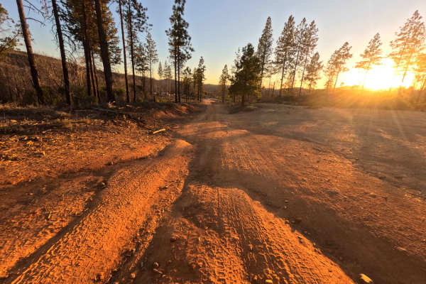
Galen Ridge - FS 21N33
Operating as an essential mountain connector, Galen Ridge (FS 21N33) efficiently bridges the gap between Bald Rock Road and the paved expanse of the Oroville Quincy Highway. The pathway begins at the stark, barren edge of the 2020 North Complex Fire burn scar within the Plumas National Forest before...
Learn more about Galen Ridge - FS 21N33
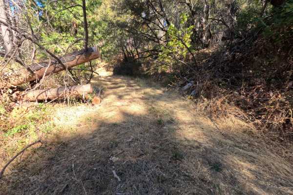
Hornet - FS 22N84
Branching off the local mountain transit network, Hornet (FS 22N84) is a short, out-and-back single-track natural dirt trail intended to push toward an old mine site before ascending the adjacent ridge. The route travels through a dense, largely unmaintained sector of the Plumas National Forest, wra...
Learn more about Hornet - FS 22N84
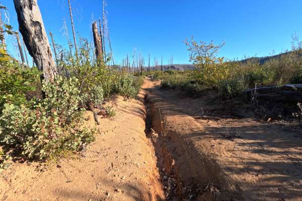
Falls Tie - FS 20N60
Branching directly from the primary access along Bryant Ravine, Falls Tie (FS 20N60) serves as a brief, out-and-back single-track gravel spur winding high along a remote mountain ridge. The route travels through a dynamic, severely impacted landscape within the Plumas National Forest, exposing overl...
Learn more about Falls Tie - FS 20N60
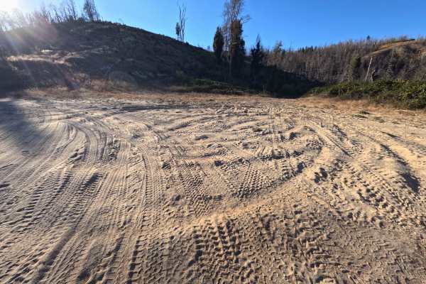
French - FS 22N34
Beginning at a sprawling turnout on the valley floor, French (FS 22N34) operates as a vital transit route winding into the Plumas National Forest. The single-track dirt and sand pathway initially parallels the French Creek bed before reaching a junction and beginning a gradual ascent into the mounta...
Learn more about French - FS 22N34
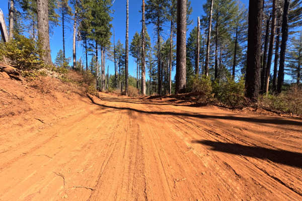
Chino - FS 22N82
Branching off the local network with a newly rerouted entrance positioned roughly a hundred feet past the original starting point, Chino (FS 22N82) functions as a quiet, out-and-back woodland spur. The pathway winds through a densely shaded, evergreen-rich sector of the Plumas National Forest that s...
Learn more about Chino - FS 22N82
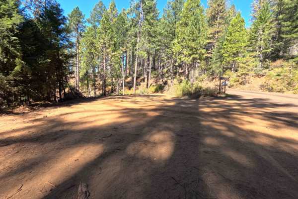
Canyon View - FS 22N83
Serving as a secluded, out-and-back ridge-line spur, Canyon View (FS 22N83) sweeps high along the mountainside directly below the prominent peak of Hungary Hunt. The route travels through a dynamic, mixed environment within the Plumas National Forest, showcasing a transition between heavily thinned ...
Learn more about Canyon View - FS 22N83
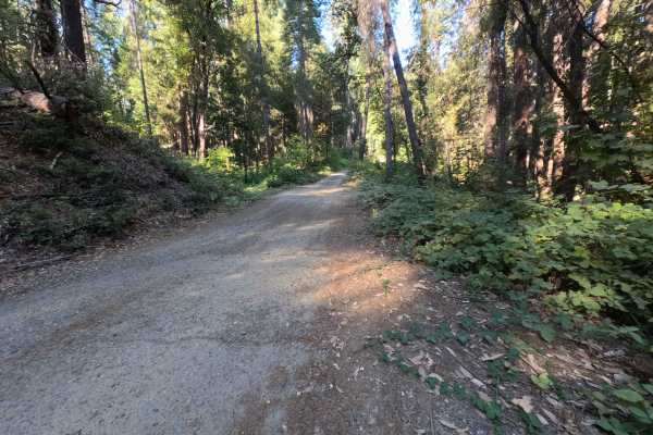
Dry Creek - FS 19N25
Dry Creek - FS 19N25 is a peaceful connector route linking Oregon Hill Road to Indiana-New York Road, offering convenient passage deeper into the surrounding backcountry. Set within the lush, mature conifer and hardwood canopy of Plumas National Forest, the corridor travels beneath towering ponderos...
Learn more about Dry Creek - FS 19N25
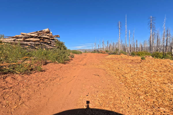
Shute Rd - FS 21N37X
Shute Road (FS 21N37X) is a short out-and-back dirt road in the Plumas National Forest, running roughly 0.7 miles along the ridges of the hilltops through a vast burn scar. Tall silver and blackened snags line one side of the road, while thick green brush and young growth fill the open slopes, and b...
Learn more about Shute Rd - FS 21N37X
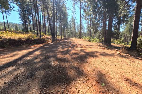
Plantation - FS 19N16
Plantation - FS 19N16 is a scenic connector loop that branches off Forest Service Road 21, circumnavigates a sprawling tract of backcountry timber, and rejoins Road 21 at an established paved junction. Situated within Plumas National Forest, the corridor traverses a lush woodland environment dominat...
Learn more about Plantation - FS 19N16
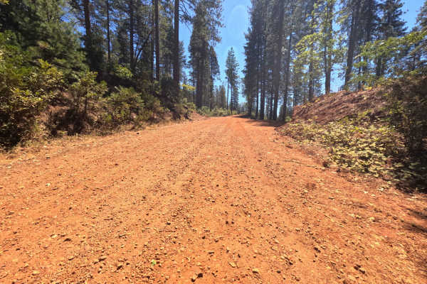
Pike CO Peak - FS 19N17
Pike CO Peak - FS 19N17 functions as a scenic mountain connector linking Forest Service Road 21 with Plantation - FS 19N16, offering elevated throughput across the forested crest of Pike County Peak. Situated in Plumas National Forest, the route travels through a lush, dense woodland of towering pon...
Learn more about Pike CO Peak - FS 19N17
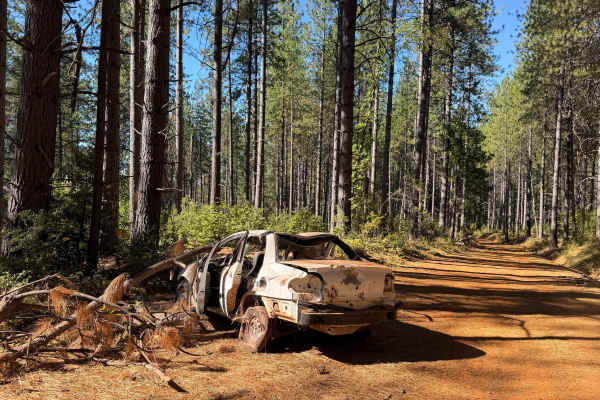
North Loop - FS 19N22
North Loop - FS 19N22 serves as a scenic woodland connector branching off Forest Road 21 and threading westward through the timbered foothills toward the small mountain community of Challenge. Set across the gently rolling terrain of Plumas National Forest, the corridor winds through a lush mixed-co...
Learn more about North Loop - FS 19N22
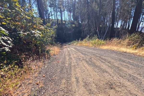
Four Mile Ridge - FS 22N33
Serving as an efficient mid-elevation connector, Four Mile Ridge (FS 22N33) drops gently into a sweeping mountain saddle before traversing along the prominent ridgeline to link up with various other woodland spurs. Branching off the local main transit, this point-to-point gravel pathway escorts trav...
Learn more about Four Mile Ridge - FS 22N33
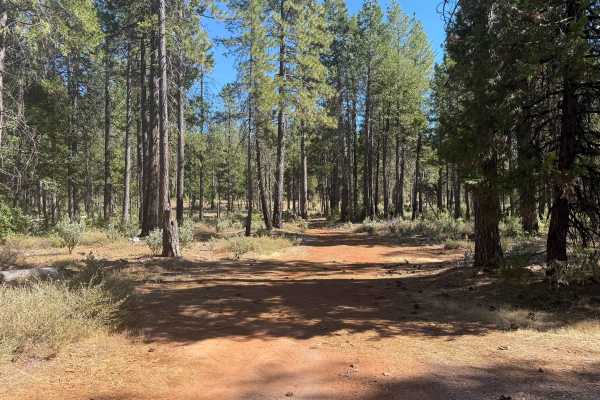
Indian - FS 19N03
Forest Service Road 19N03 (Indian) is an engaging backcountry connector branching off Forest Service Road 21 and tracing the scenic drainage of Indian Creek to an established junction with adjoining woodland routes. Nestled within the lush, canopy-rich evergreen forest of Plumas National Forest, the...
Learn more about Indian - FS 19N03
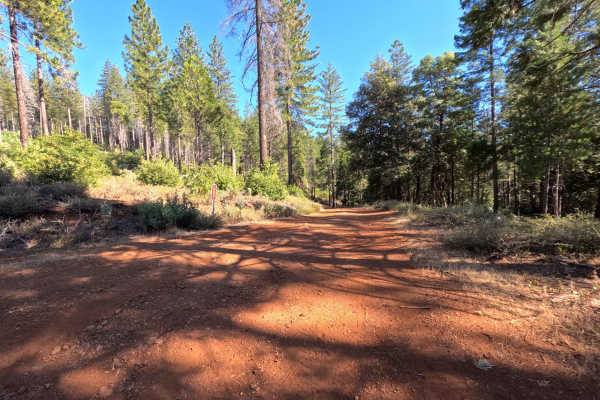
Dodge - FS 19N53
Dodge (Forest Service Road 19N53) is a tranquil out-and-back dirt spur accessed directly off Indian Road. Winding along a timbered ridgeline within the Feather River Ranger District of Plumas National Forest, the trail travels through mixed pine and oak woodland recovering from the 2015 Lumpkin Fire...
Learn more about Dodge - FS 19N53
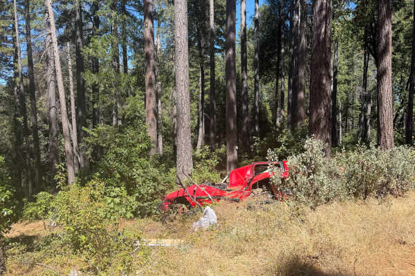
Milk Ranch - FS 19N04
Milk Ranch - FS 19N04 serves as an essential backcountry connector linking Plantation Road - FS 19N16 to Forest Service Road 21, providing dependable throughput across the undulating foothill ridges. Situated in Plumas National Forest, the track winds through a lush, vibrant canopy of towering ponde...
Learn more about Milk Ranch - FS 19N04
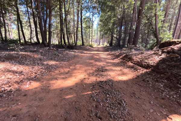
Milk - FS 19N00
Milk - FS 19N00 is a peaceful woodland connector branching off Plantation Road - FS 19N16 and descending through the hills toward lower Forest Service corridors near Bullards Bar Reservoir. Managed by Plumas National Forest, the track traverses a lush, dense mountain environment sheltered beneath to...
Learn more about Milk - FS 19N00
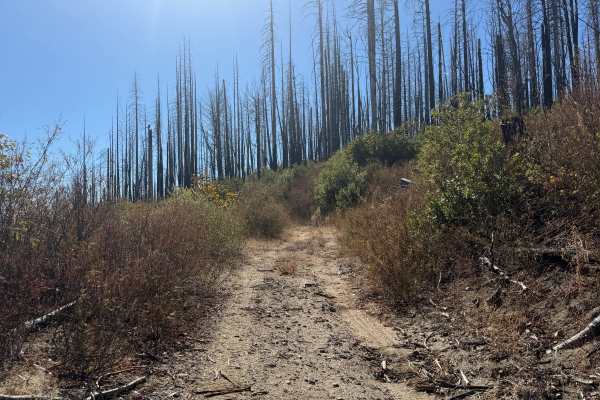
Ridge - FS 22N89
Ridge (FS 22N89) is a short dirt spur in the Plumas National Forest, climbing gently for roughly half a mile along a hillside deep within a vast burn scar. Thousands of silver and blackened snags stand across the surrounding slopes, rising above a thick regrowth of green brush that turns gold, orang...
Learn more about Ridge - FS 22N89
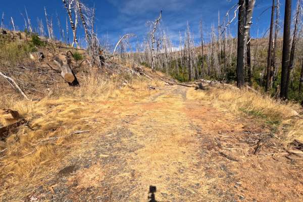
Jordan Retreat - FS 22N08Y
Jordan Retreat (FS 22N08Y) is a short out-and-back gravel road in the Plumas National Forest, running roughly a mile along the hillsides of a lower valley through a vast burn scar. With the canopy gone, the drive is wide open, with silver snags standing above golden grass and thick regrowth of brush...
Learn more about Jordan Retreat - FS 22N08Y
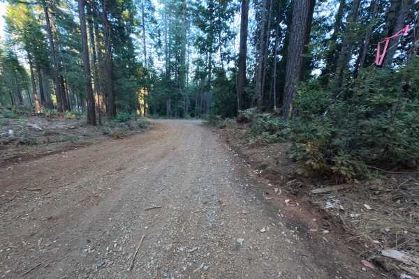
Peterson Ridge - FS 20N04
Peterson Ridge - FS 20N04 is a broad, well-defined out-and-back spur accessed directly from Bean Clipper Road. Winding across undulating high ground, the route journeys through a dense, thriving mixed-conifer forest of tall pine, cedar, and fir managed by the Plumas National Forest. The road feature...
Learn more about Peterson Ridge - FS 20N04
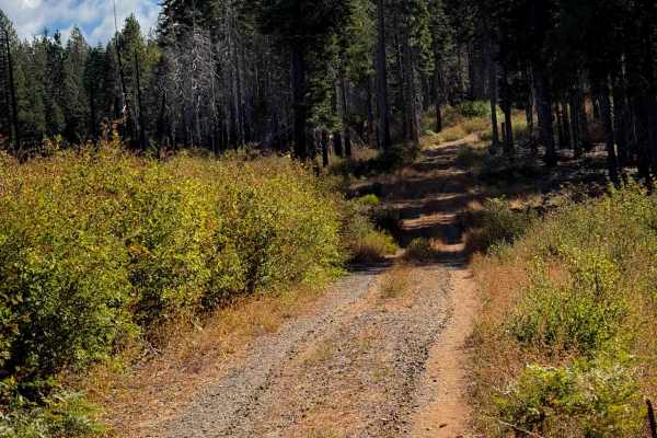
Magee Ridge
This is a short ATV trail in a remote and primitive section of the Plumas National Forest, accessed off of Four Trees Road. This area was damaged from a large fire in recent years. The entrance to this trail is not marked with a vehicle designation, and it is wide like a road, so it has probably had...
Learn more about Magee Ridge
ATV trails near Thermalito, California
Explore ATV-friendly trails near you. These trails are accessible for vehicles up to 50 inches wide, perfect for ATVs and smaller off-road machines.
Galen Ridge - FS 21N33
Operating as an essential mountain connector, Galen Ridge (FS 21N33) efficiently bridges the gap between Bald Rock Road and the paved expanse of the Oroville Quincy Highway. The pathway begins at the stark, barren edge of the 2020 North Complex Fire burn scar within the Plumas National Forest before...
Learn more about Galen Ridge - FS 21N33
Hornet - FS 22N84
Branching off the local mountain transit network, Hornet (FS 22N84) is a short, out-and-back single-track natural dirt trail intended to push toward an old mine site before ascending the adjacent ridge. The route travels through a dense, largely unmaintained sector of the Plumas National Forest, wra...
Learn more about Hornet - FS 22N84
Falls Tie - FS 20N60
Branching directly from the primary access along Bryant Ravine, Falls Tie (FS 20N60) serves as a brief, out-and-back single-track gravel spur winding high along a remote mountain ridge. The route travels through a dynamic, severely impacted landscape within the Plumas National Forest, exposing overl...
Learn more about Falls Tie - FS 20N60
French - FS 22N34
Beginning at a sprawling turnout on the valley floor, French (FS 22N34) operates as a vital transit route winding into the Plumas National Forest. The single-track dirt and sand pathway initially parallels the French Creek bed before reaching a junction and beginning a gradual ascent into the mounta...
Learn more about French - FS 22N34
UTV/side-by-side trails near Thermalito, California
Find UTV and side-by-side trails near you. These trails accommodate vehicles up to 60 inches wide, ideal for UTVs, side-by-sides, and wider off-road rigs.
Galen Ridge - FS 21N33
Operating as an essential mountain connector, Galen Ridge (FS 21N33) efficiently bridges the gap between Bald Rock Road and the paved expanse of the Oroville Quincy Highway. The pathway begins at the stark, barren edge of the 2020 North Complex Fire burn scar within the Plumas National Forest before...
Learn more about Galen Ridge - FS 21N33
Hornet - FS 22N84
Branching off the local mountain transit network, Hornet (FS 22N84) is a short, out-and-back single-track natural dirt trail intended to push toward an old mine site before ascending the adjacent ridge. The route travels through a dense, largely unmaintained sector of the Plumas National Forest, wra...
Learn more about Hornet - FS 22N84
Falls Tie - FS 20N60
Branching directly from the primary access along Bryant Ravine, Falls Tie (FS 20N60) serves as a brief, out-and-back single-track gravel spur winding high along a remote mountain ridge. The route travels through a dynamic, severely impacted landscape within the Plumas National Forest, exposing overl...
Learn more about Falls Tie - FS 20N60
French - FS 22N34
Beginning at a sprawling turnout on the valley floor, French (FS 22N34) operates as a vital transit route winding into the Plumas National Forest. The single-track dirt and sand pathway initially parallels the French Creek bed before reaching a junction and beginning a gradual ascent into the mounta...
Learn more about French - FS 22N34
The onX Offroad Difference
onX Offroad combines trail photos, descriptions, difficulty ratings, width restrictions, seasonality, and more in a user-friendly interface. Available on all devices, with offline access and full compatibility with CarPlay and Android Auto. Discover what you're missing today!
Open Trail Map