
Dirt Bike Trails
Near Sierraville, California
Explore All Dirt Bike Trails Near Sierraville, California
Dirt Bike Trails Near Sierraville, California
Discover the best dirt bike trails near you. Browse trail maps, check difficulty ratings, and find your next adventure — whether you're looking for a quick ride or an all-day expedition.
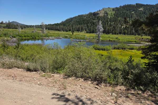
Perazzo Meadows
The Perazzo Meadows trail offers a scenic and mostly moderate off-road adventure through stunning wetland meadows along the Little Truckee River. This route includes meadow crossings, loose rocks, small water crossings, and some steeper sections. It's particularly beautiful in summer and fall when w...
Learn more about Perazzo Meadows
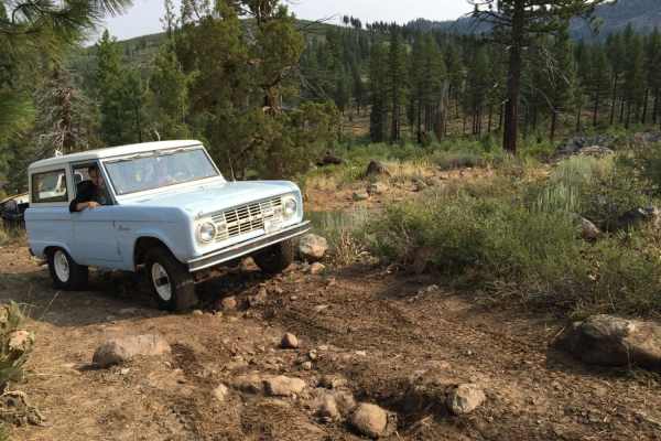
Bear Valley Loop Trail
Bear Valley Loop Trail is a beginner trail located off Hwy 89 starting right at "Little Truckee Summit". The loop takes off and ends at the Bear Valley Campground. Head in on Cottonwood Road off of Hwy 89 to find the trailhead. The Loop consists of mostly loose dirt and fire roads, with the occasion...
Learn more about Bear Valley Loop Trail
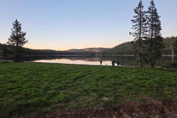
Meadow Lake Road
Meadow Lake Road makes a loop from Webber Lake to Jackson Meadows, with Meadow Lake situated in the middle. The section that begins just past Webber Lake is a fairly well-maintained, graded road used by campers and trailers heading to Meadow Lake. This part of the road starts approximately 1.4 miles...
Learn more about Meadow Lake Road
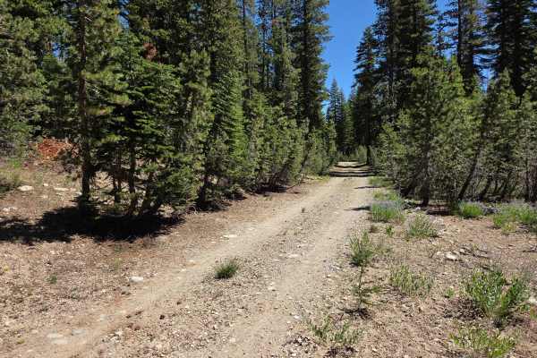
Bear Valley Loop
This scenic loop trail winds around beautiful Bear Valley and follows the upper reaches of Fordyce Creek. As you enter the open meadow, the trail splits: the right fork cuts directly through the center of the meadow and crosses Fordyce Creek. This section can become extremely muddy in spring due to ...
Learn more about Bear Valley Loop
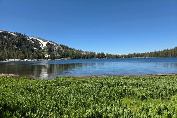
White Rock Lake
Most of the trail to the lake is relatively easy and straightforward. However, the final descent down to the lakeshore is the most challenging section of the entire route. Once you reach an open meadow near the lake, you'll have a few options: Turn right for a steeper descent to the dam area on the ...
Learn more about White Rock Lake
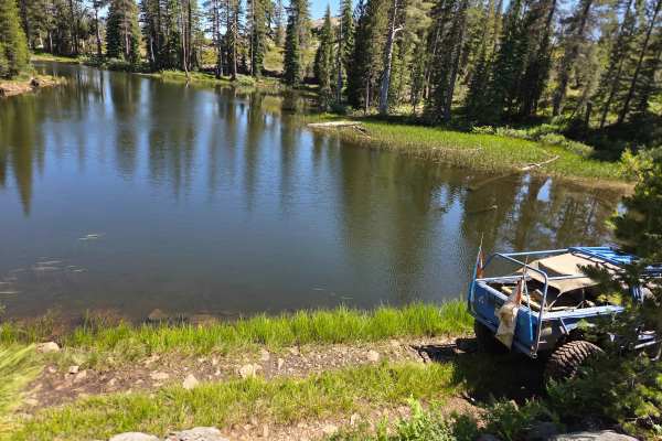
Excelsior Mine
The trail starts near the campgrounds at Meadow Lake and descends past the dam into the trees. At a road split, a sign on a tree directs you to turn right. The trail continues over 2-foot rocks before hugging the edge of a pond and navigating through tight trees. Remnants of the “Old Miners Cabin” t...
Learn more about Excelsior Mine
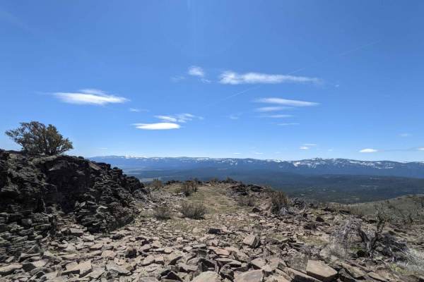
Sugarpine Spur A - NF22N55A
Dirt Forest Service road accessing a network of roads climbing Beckwourth Mountain just outside of Portola, California. This spur accesses the communications tower equipment on private property at the summit of Beckwourth Peak. There is an open gate, and there aren't any No Trespassing signs visible...
Learn more about Sugarpine Spur A - NF22N55A
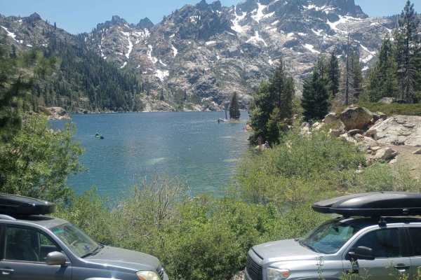
Sardine Lakes
This trail starts off with just a gravel road, however, the further you go up the tougher it gets. As you progress up you will see many rigs parked off to the side and people walking to the lake. The trail ends at the dam for upper Sardine Lake where people launch small boats and paddle boards. Most...
Learn more about Sardine Lakes

Billy Hill's Stampede
From Highway 89 near the Sagehen Creek Trailhead, this easy route leads to Stampede Reservoir, with options to continue to Dog Valley, Boca Reservoir, or down to Crystal Peak Mine. The trail starts wide enough for two Jeeps side-by-side on a well-maintained road that passes a few designated camp are...
Learn more about Billy Hill's Stampede
Hobart Mills
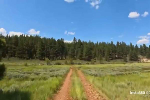
Begin either from Boca Campground or off Highway 89 / 886—either way, this flat route is just the start of what’s out there to explore. Following well-maintained Forest Service roads, it’s a quick, easy side route that keeps you off the busier, more established main corridors when heading toward Pro...
Learn more about Hobart Mills
Faucherie Lake
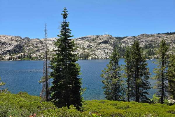
This trail begins just east of Bowman Lake at the Jackson Creek Campground. The trail is marked with a few signs and features a large pullout at the starting point. It offers a bumpy, rocky ride with several water bars and small creek crossings, which most stock SUVs can handle, depending on the sea...
Learn more about Faucherie Lake
Meadow Lake Road
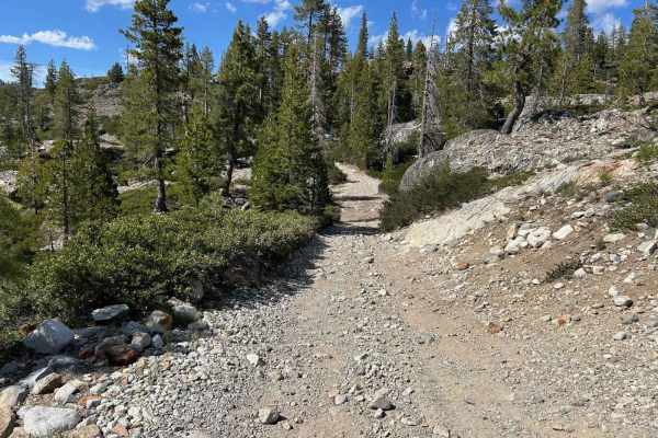
Meadow Lake Road is the continuation of the Bowman Lake Road trail. The scenery is breathtaking and the camping and recreational opportunities are plentiful. This area of the Sierra Nevada usually is snow-free sometime in late May. A California campfire permit is necessary, and later in the season, ...
Learn more about Meadow Lake Road
Sawmill Lake
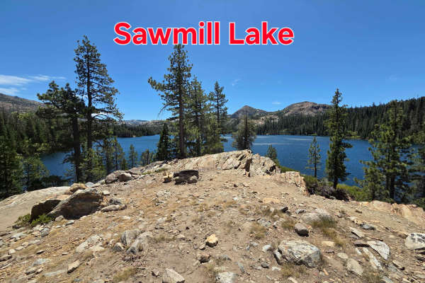
Sawmill Lake Trail begins with a gentle climb from the Faucherie Lake Trail. As you crest the first hill, you’ll catch your first glimpse of Sawmill Lake. There are campsites on the lakeside of the trail just after the crest, making them a good choice for those with stock rigs. As you continue, the ...
Learn more about Sawmill Lake
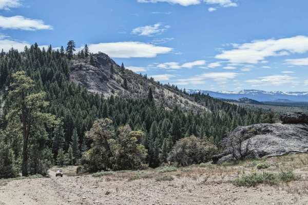
Portola "P" - NF14M03
This trail accesses the Portola "P" above town. It starts out as a mellow two-track among the trees but quickly turns upward into a steep, loose, rocky scramble. Low range is required and this trail is only really accessible when dry. This trail summits above the "P" at roughly 5,800 feet.
Learn more about Portola "P" - NF14M03
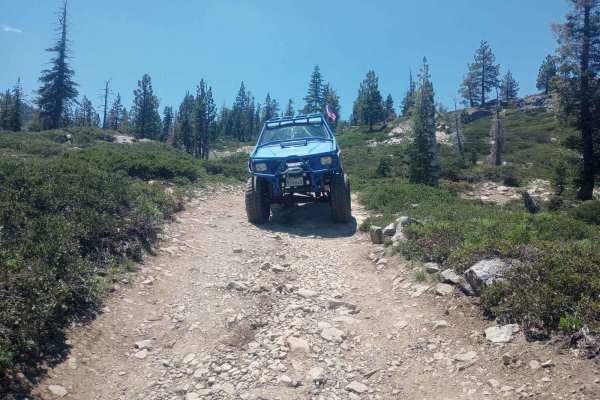
Tamarack Lakes 12E33
This trail starts across from Packer Lake. There is a staging area at the bottom if you need to trailer your rig. The trail heads up to Tamarack Lakes. The two lakes are almost the same size and crowds at each are about the same. Once you pass the first lake going in stay to the right to head up to ...
Learn more about Tamarack Lakes 12E33
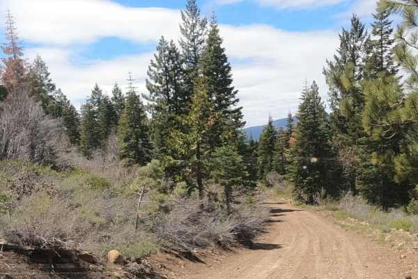
Sugarpine - NF22N55
Dirt Forest Service road accessing a network of roads climbing Beckwourth Mountain just outside of Portola, California. This looks to be the primary route accessing the summit from town. The road is wider and looks more maintained. These roads start at 5,000 feet and climb up to over 7,000 feet, so ...
Learn more about Sugarpine - NF22N55
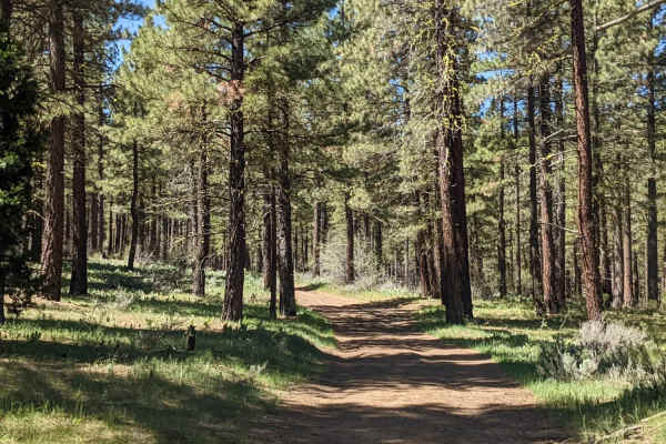
Beckwourth Tie Spur - NF23N03YB
Beckwourth Tie Spur (NF23N03YB) is an easy, 2.5-mile dirt Forest Service road near Portola, California, that offers offroaders scenic access into the rugged trail network of Beckwourth Mountain. Ideal for beginners or those seeking a straightforward connection, this route starts at an elevation of 4...
Learn more about Beckwourth Tie Spur - NF23N03YB
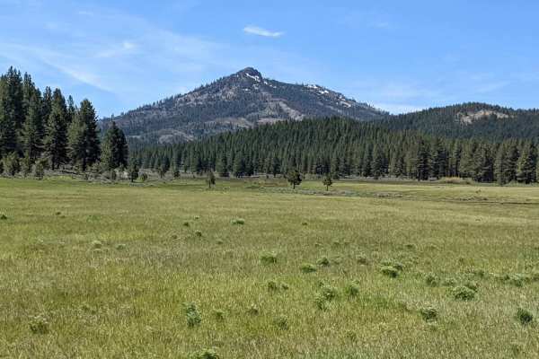
Beckwourth Tie - NF23N03Y
Dirt Forest Service Road accesses a network of roads climbing Beckwourth Mountain just outside Portola, California. These roads are seldom maintained and are occasionally clogged with manzanita overgrowth. Pinstriping is likely. These roads start at 5,000 feet and climb up to over 7,000 feet, so acc...
Learn more about Beckwourth Tie - NF23N03Y
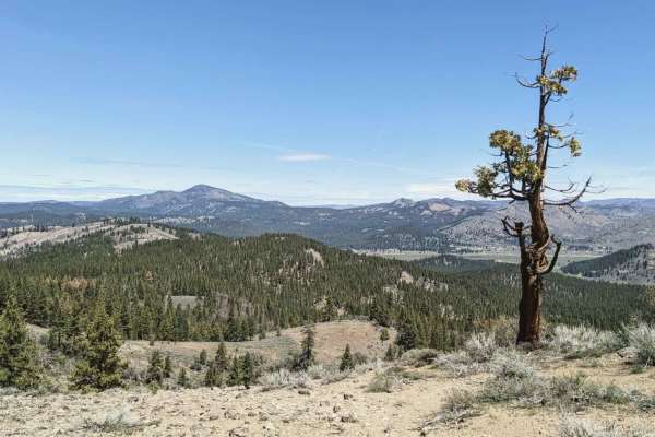
Beckwourth - NF23N03
Dirt Forest Service road accessing a network of roads climbing Beckwourth Mountain just outside of Portola, California. This is one of the primary routes into this section of the forest from town. These roads are seldom maintained and are occasionally clogged with manzanita overgrowth. Pinstriping i...
Learn more about Beckwourth - NF23N03
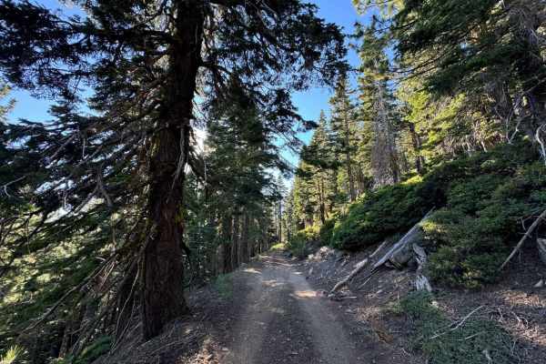
Summit Lake
Summit Lake Trail is a 2.6-mile out-and-back trail located near Truckee, California. The start of the trail is relatively smooth as it winds through Johnson Canyon, with a great view of Donner Lake when you reach the midpoint. After the ridge, things get a touch more technical, with some larger rock...
Learn more about Summit Lake
ATV trails near Sierraville, California
Explore ATV-friendly trails near you. These trails are accessible for vehicles up to 50 inches wide, perfect for ATVs and smaller off-road machines.
Perazzo Meadows
The Perazzo Meadows trail offers a scenic and mostly moderate off-road adventure through stunning wetland meadows along the Little Truckee River. This route includes meadow crossings, loose rocks, small water crossings, and some steeper sections. It's particularly beautiful in summer and fall when w...
Learn more about Perazzo Meadows
Bear Valley Loop Trail
Bear Valley Loop Trail is a beginner trail located off Hwy 89 starting right at "Little Truckee Summit". The loop takes off and ends at the Bear Valley Campground. Head in on Cottonwood Road off of Hwy 89 to find the trailhead. The Loop consists of mostly loose dirt and fire roads, with the occasion...
Learn more about Bear Valley Loop Trail
Meadow Lake Road
Meadow Lake Road makes a loop from Webber Lake to Jackson Meadows, with Meadow Lake situated in the middle. The section that begins just past Webber Lake is a fairly well-maintained, graded road used by campers and trailers heading to Meadow Lake. This part of the road starts approximately 1.4 miles...
Learn more about Meadow Lake Road
Bear Valley Loop
This scenic loop trail winds around beautiful Bear Valley and follows the upper reaches of Fordyce Creek. As you enter the open meadow, the trail splits: the right fork cuts directly through the center of the meadow and crosses Fordyce Creek. This section can become extremely muddy in spring due to ...
Learn more about Bear Valley Loop
UTV/side-by-side trails near Sierraville, California
Find UTV and side-by-side trails near you. These trails accommodate vehicles up to 60 inches wide, ideal for UTVs, side-by-sides, and wider off-road rigs.
Perazzo Meadows
The Perazzo Meadows trail offers a scenic and mostly moderate off-road adventure through stunning wetland meadows along the Little Truckee River. This route includes meadow crossings, loose rocks, small water crossings, and some steeper sections. It's particularly beautiful in summer and fall when w...
Learn more about Perazzo Meadows
Bear Valley Loop Trail
Bear Valley Loop Trail is a beginner trail located off Hwy 89 starting right at "Little Truckee Summit". The loop takes off and ends at the Bear Valley Campground. Head in on Cottonwood Road off of Hwy 89 to find the trailhead. The Loop consists of mostly loose dirt and fire roads, with the occasion...
Learn more about Bear Valley Loop Trail
Meadow Lake Road
Meadow Lake Road makes a loop from Webber Lake to Jackson Meadows, with Meadow Lake situated in the middle. The section that begins just past Webber Lake is a fairly well-maintained, graded road used by campers and trailers heading to Meadow Lake. This part of the road starts approximately 1.4 miles...
Learn more about Meadow Lake Road
Bear Valley Loop
This scenic loop trail winds around beautiful Bear Valley and follows the upper reaches of Fordyce Creek. As you enter the open meadow, the trail splits: the right fork cuts directly through the center of the meadow and crosses Fordyce Creek. This section can become extremely muddy in spring due to ...
Learn more about Bear Valley Loop
The onX Offroad Difference
onX Offroad combines trail photos, descriptions, difficulty ratings, width restrictions, seasonality, and more in a user-friendly interface. Available on all devices, with offline access and full compatibility with CarPlay and Android Auto. Discover what you're missing today!
Open Trail Map