Trail Overview
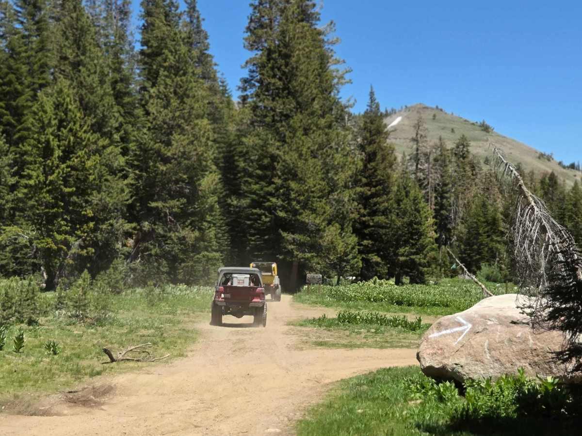
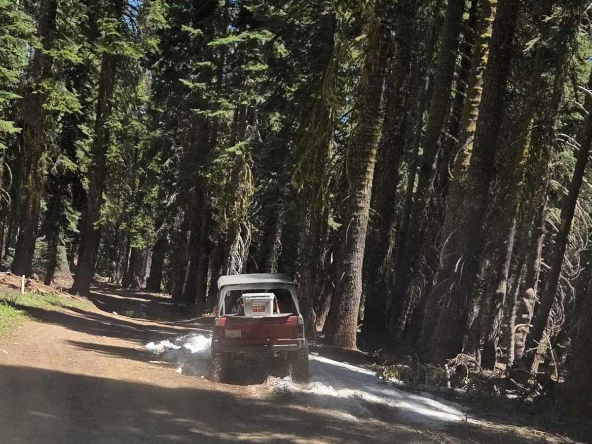
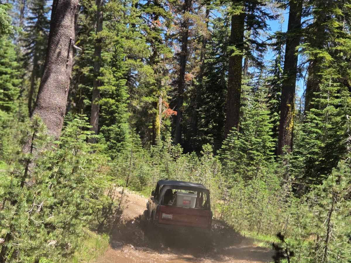
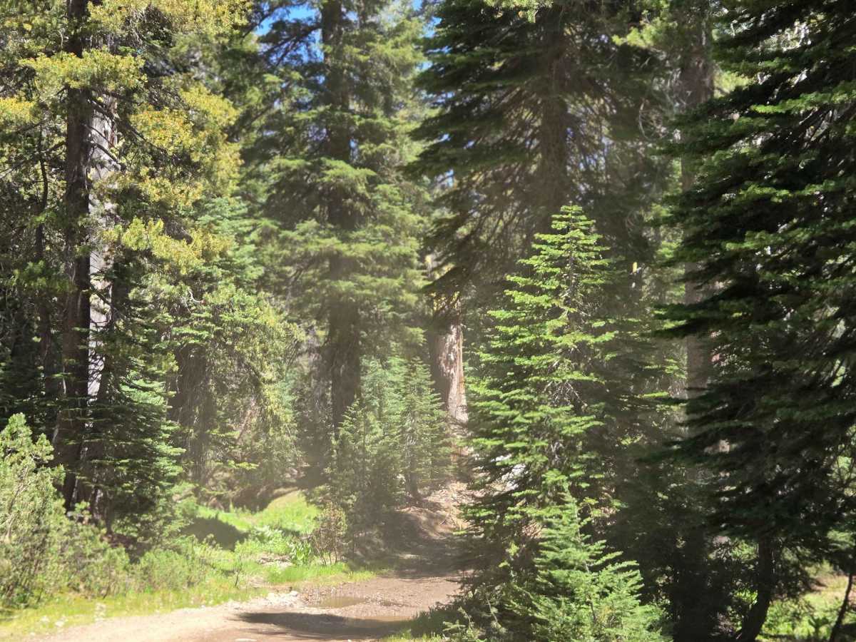
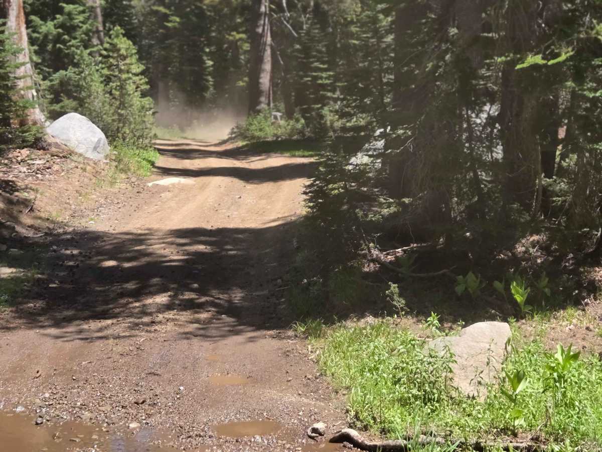
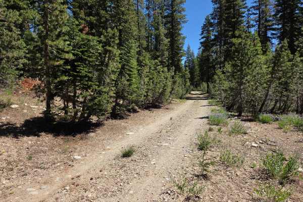
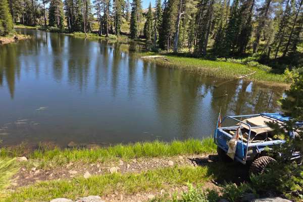
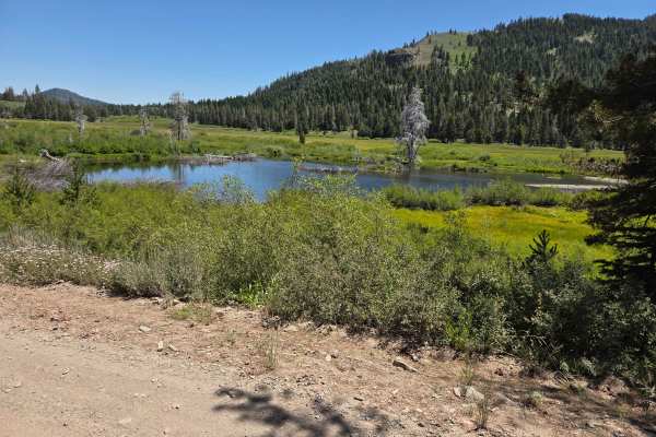
Most of the trail to the lake is relatively easy and straightforward. However, the final descent down to the lakeshore is the most challenging section of the entire route. Once you reach an open meadow near the lake, you'll have a few options: Turn right for a steeper descent to the dam area on the southwest end, which offers some excellent camping spots. This section is significantly more difficult than anything encountered so far—if you're in a lower-clearance or less-capable rig, it's strongly recommended to scout the line on foot first. Continue straight through the meadow to skirt the north side of the lake, where you'll find numerous additional dispersed camping sites. This northern route is also more technically demanding than the approach trail. If you're uncomfortable taking your vehicle down either of these final sections, there's a suitable parking area in the meadow where you can leave your rig and hike the rest of the way. Seasonal Considerations: This is a high-elevation route, so expect possible water crossings and snow, especially in spring. In heavy snow years, the trail may remain snow-covered until the 4th of July weekend or later, though it's often passable by late May in average years. Early-season snowfall can close the route as early as late September or October. Always check the current weather and road conditions before heading out.
Difficulty
While most of the route is nothing more than a bumpy dirt road, the last couple of miles get more difficult, and the final descent to the lake is the hardest part. Look for some rocks that are up to 12 inches tall in the trail on the last section getting to the lake.
History
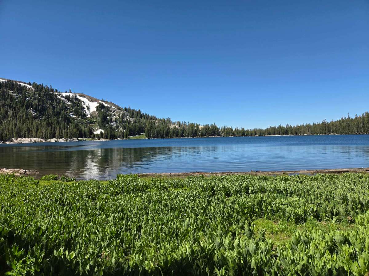
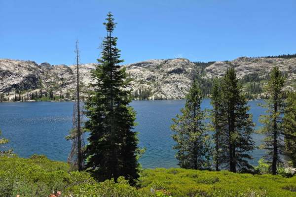
White Rock Lake is the highest body of water in the South Yuba watershed. In 1850, it was dammed when the water rights were claimed for gold mining.