
Dirt Bike Trails
Near Sevierville, Tennessee
Explore All Dirt Bike Trails Near Sevierville, Tennessee
Dirt Bike Trails Near Sevierville, Tennessee
Discover the best dirt bike trails near you. Browse trail maps, check difficulty ratings, and find your next adventure — whether you're looking for a quick ride or an all-day expedition.
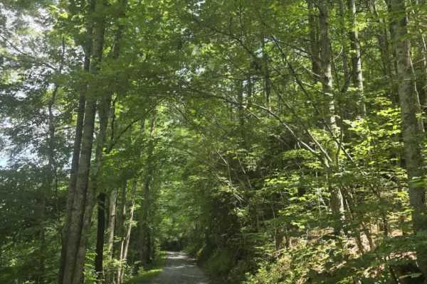
Piney Branch
Piney Branch Trail begins as an easy-graded gravel road before transitioning into a narrower two-track dirt trail after entering Cherokee National Forest. From that point, the route becomes more primitive, with several mud holes along the way that can hold water after rain. The mud holes generally h...
Learn more about Piney Branch
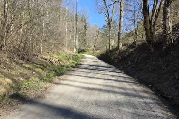
Mount Sterling Road
Mount Sterling Road is an easy gravel route that offers a straightforward drive with occasional exposure and light local traffic. The road is generally well-maintained with gentle grades, making it suitable for most drivers under normal conditions. While much of the route is wide enough for two vehi...
Learn more about Mount Sterling Road
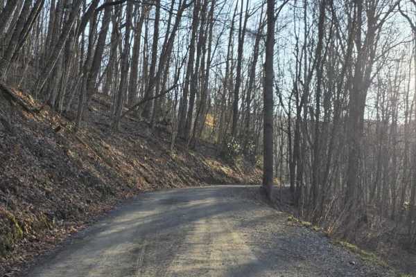
Sutton
Sutton is a short out-and-back dirt route that offers a mostly easy drive with a brief change in terrain character. The trail begins as a graded path with a smooth, manageable surface before transitioning after a hairpin turn into a narrower, rocky two-track. In this section, rocks begin to protrude...
Learn more about Sutton
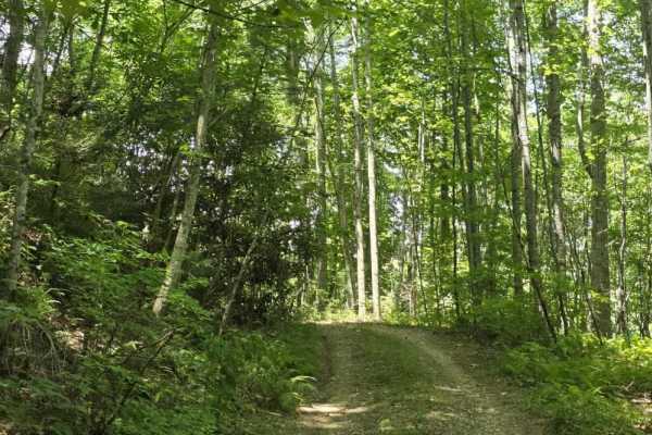
Locust Thorn Ridge
Locust Thorn Ridge is a highly technical dirt trail that demands careful vehicle placement and consistent attention from start to finish. The route features multiple off-camber sections, deep ruts, deep off-camber ruts, and numerous mud holes, some of which have loose bottoms that can make traction ...
Learn more about Locust Thorn Ridge
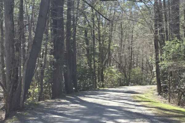
Cataloochee Creek Road
Cataloochee Creek Road is an easy gravel drive that provides access to one of the more historically rich areas in the region. The road is generally well-maintained and typically wide enough for two vehicles, making it a straightforward route suitable for most drivers. Gentle grades and a series of m...
Learn more about Cataloochee Creek Road
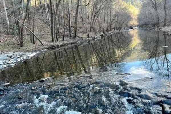
Hurricane Creek
Hurricane Creek is a one-way trail you enter from the westbound lane of Interstate 40. The trail gets tight in many areas;there is not enough room to turn around. You will encounter steep drops on one side, with a steep bank on the other. There are water crossings and tight, twisty, rocky trails. Th...
Learn more about Hurricane Creek
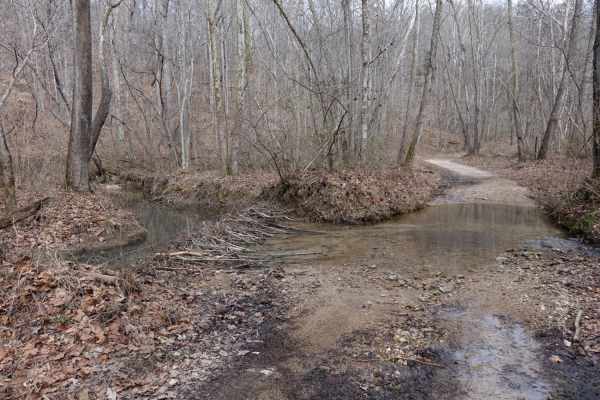
Lost Creek & Clear Creek
This route provides a bit more challenge and adrenaline than the majority of the roads in Chuck Swan WMA, but still keeps it well within the capabilities of most stock and slightly modified 4x4s. Along Clear Creek Rd. there are three water crossings that vary greatly depending on recent rains. All t...
Learn more about Lost Creek & Clear Creek
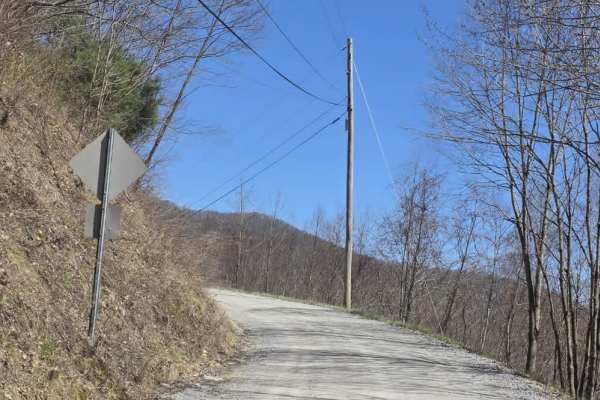
Cove Creek Road
Cove Creek Road is a short gravel route that offers a quick but scenic connection in the area, often used as an access point toward the Cataloochee Turnpike. The road surface is primarily gravel and generally well maintained, though it narrows to a single lane with several designated pull-offs for p...
Learn more about Cove Creek Road
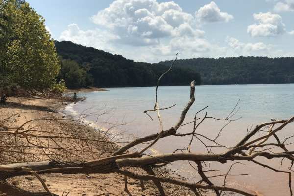
Mossy Springs
This route traverses from the southern portions of Chuck Swan WMA to one of the more remote areas on the northern border. Along this route you'll find some easy but fun roads, a natural freshwater spring, and if you time your visit right ample opportunities to pick fresh blackberries. In the summer ...
Learn more about Mossy Springs
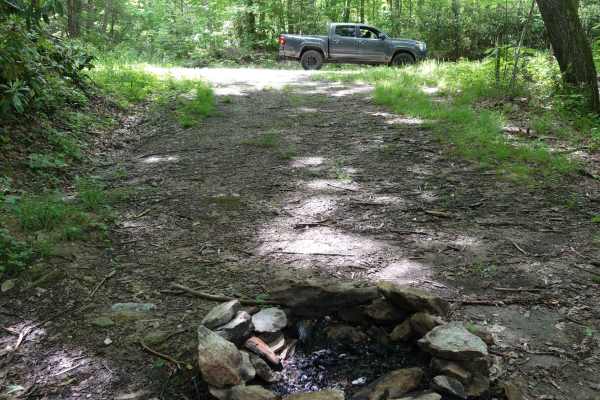
Brown Gap Road
Brown Gap Road is a scenic and mild unpaved route winding through the Appalachian Ranger District of Pisgah National Forest, perfect for scenic drivers, four-wheel-drive beginners, and overland campers looking to explore the North Carolina and Tennessee borderlands. Spanning approximately 7 miles, t...
Learn more about Brown Gap Road
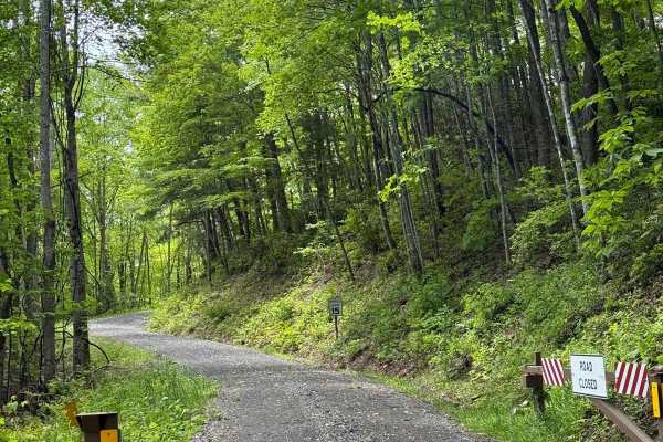
Wolf Creek Road
Wolf Creek Road is a 6.1-mile gravel road kept in good shape by the Cherokee National Forest. It's mostly one lane, but there are plenty of wide spots to pass. You can access it from Round Mountain Road to the south or Upper Shut-In Road from the north on the North Carolina side. The road climbs thr...
Learn more about Wolf Creek Road
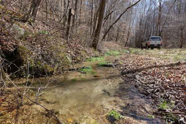
Big Loop & Big Springs
This loop gives you a bit of everything there is to see in Chuck Swan WMA. This route is slightly rougher than Main Forest Rd, but still passable by capable 2WD vehicles except during the wettest times of the year. You'll have opportunities to see natural springs just off of the road, visit some old...
Learn more about Big Loop & Big Springs
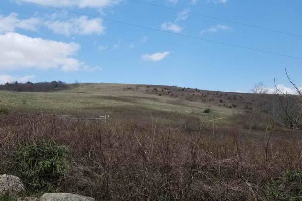
Max Patch Road
This is an 8.7-mile gravel forest service road that can be entered from the south via the Fines Creek area, just east of Interstate 40 in Clyde, North Carolina. Traveling north, the road becomes gravel and leads to a variety of scenic destinations such as Hurricane Creek, Max Patch, Round Mountain, ...
Learn more about Max Patch Road
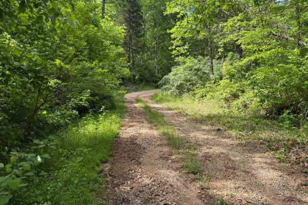
Crumely Loop
Crumely Loop is a mellow 2.6-mile forest road tucked into the heart of Chuck Swan State Forest. Like all the roads here, it's an active logging route, so keep an eye out for trucks and yield when needed. Several old roads branch off along the way, but most are closed to motorized vehicles; just foll...
Learn more about Crumely Loop
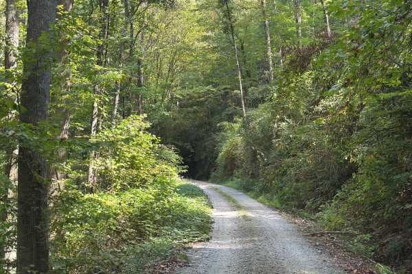
Slickrock Road
Slickrock Road is a gravel route that winds through the Nantahala National Forest. It is primarily one vehicle wide, though there are plenty of areas with room to pass. The road begins at Tapoco Road at an elevation of 1,277 feet and climbs to 3,062 feet over the course of seven miles. At the summit...
Learn more about Slickrock Road
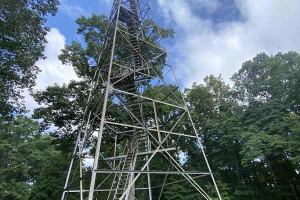
Main Forest Road
Main Forest Road offers an easy, highly scenic 13.2-mile cruise through Chuck Swan State Forest that is perfect for beginners, families, and anyone looking to enjoy a relaxing drive with gorgeous lake views and deep historical significance. This unpaved route serves as the primary artery of the fore...
Learn more about Main Forest Road
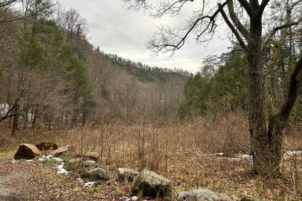
Paint Pond Trail
This is a short out-and-back trail with multiple primitive campsites and fire rings. The campsite on the south end has room for multiple vehicles with rooftop tents and plenty of room for ground tents with three fire rings. The three campsites on the north end of the trail are large enough for two v...
Learn more about Paint Pond Trail
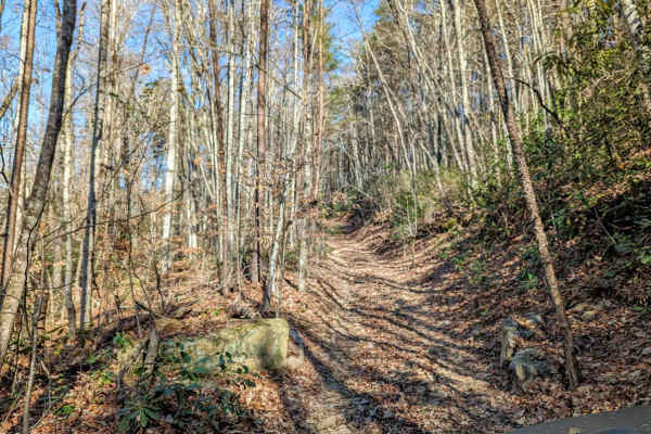
Walden's Ridge Bypass Trail 75a
This trail runs right next to Walden's Ridge and only bypasses the ridge portion of the whole trail. It does meet up with 75 (Walden's Ridge) and ends at 75. This trail has small to medium rocks to climb, winds in and out of trees, and up and down the hillside. Quite often the vehicle is leaning sid...
Learn more about Walden's Ridge Bypass Trail 75a
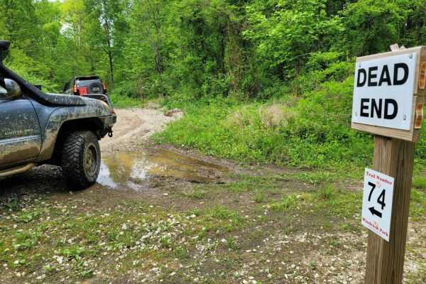
74 - Middle Ridge
Trail 74 - Middle Ridge winds through to complete Trail G67 to exit you out of the park or bring you in for an adventure from HWY 116. This easy "Blue" trail, as Windrock Park identifies it, is spot on, as washouts and ruts could cause problems for those with low ground clearance but is no harder th...
Learn more about 74 - Middle Ridge
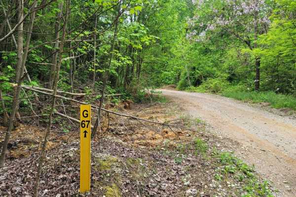
G67 - Brown Flats
Easy traveling is G67. This trail is the epitome of a stroll in the park with its smooth gravel roads with intermittent mud puddles to make the most basic rides feel like a scenic adventure. There may be some standing water that is scarier than it looks, boasting width, but is majorly lacking in dep...
Learn more about G67 - Brown Flats
ATV trails near Sevierville, Tennessee
Explore ATV-friendly trails near you. These trails are accessible for vehicles up to 50 inches wide, perfect for ATVs and smaller off-road machines.
Piney Branch
Piney Branch Trail begins as an easy-graded gravel road before transitioning into a narrower two-track dirt trail after entering Cherokee National Forest. From that point, the route becomes more primitive, with several mud holes along the way that can hold water after rain. The mud holes generally h...
Learn more about Piney Branch
Mount Sterling Road
Mount Sterling Road is an easy gravel route that offers a straightforward drive with occasional exposure and light local traffic. The road is generally well-maintained with gentle grades, making it suitable for most drivers under normal conditions. While much of the route is wide enough for two vehi...
Learn more about Mount Sterling Road
Sutton
Sutton is a short out-and-back dirt route that offers a mostly easy drive with a brief change in terrain character. The trail begins as a graded path with a smooth, manageable surface before transitioning after a hairpin turn into a narrower, rocky two-track. In this section, rocks begin to protrude...
Learn more about Sutton
Locust Thorn Ridge
Locust Thorn Ridge is a highly technical dirt trail that demands careful vehicle placement and consistent attention from start to finish. The route features multiple off-camber sections, deep ruts, deep off-camber ruts, and numerous mud holes, some of which have loose bottoms that can make traction ...
Learn more about Locust Thorn Ridge
UTV/side-by-side trails near Sevierville, Tennessee
Find UTV and side-by-side trails near you. These trails accommodate vehicles up to 60 inches wide, ideal for UTVs, side-by-sides, and wider off-road rigs.
Piney Branch
Piney Branch Trail begins as an easy-graded gravel road before transitioning into a narrower two-track dirt trail after entering Cherokee National Forest. From that point, the route becomes more primitive, with several mud holes along the way that can hold water after rain. The mud holes generally h...
Learn more about Piney Branch
Mount Sterling Road
Mount Sterling Road is an easy gravel route that offers a straightforward drive with occasional exposure and light local traffic. The road is generally well-maintained with gentle grades, making it suitable for most drivers under normal conditions. While much of the route is wide enough for two vehi...
Learn more about Mount Sterling Road
Sutton
Sutton is a short out-and-back dirt route that offers a mostly easy drive with a brief change in terrain character. The trail begins as a graded path with a smooth, manageable surface before transitioning after a hairpin turn into a narrower, rocky two-track. In this section, rocks begin to protrude...
Learn more about Sutton
Locust Thorn Ridge
Locust Thorn Ridge is a highly technical dirt trail that demands careful vehicle placement and consistent attention from start to finish. The route features multiple off-camber sections, deep ruts, deep off-camber ruts, and numerous mud holes, some of which have loose bottoms that can make traction ...
Learn more about Locust Thorn Ridge
The onX Offroad Difference
onX Offroad combines trail photos, descriptions, difficulty ratings, width restrictions, seasonality, and more in a user-friendly interface. Available on all devices, with offline access and full compatibility with CarPlay and Android Auto. Discover what you're missing today!
Open Trail Map