Trail Overview
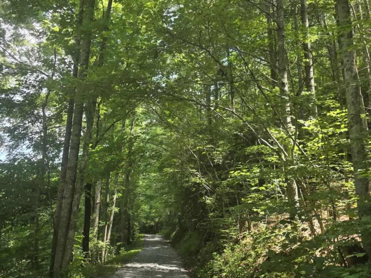
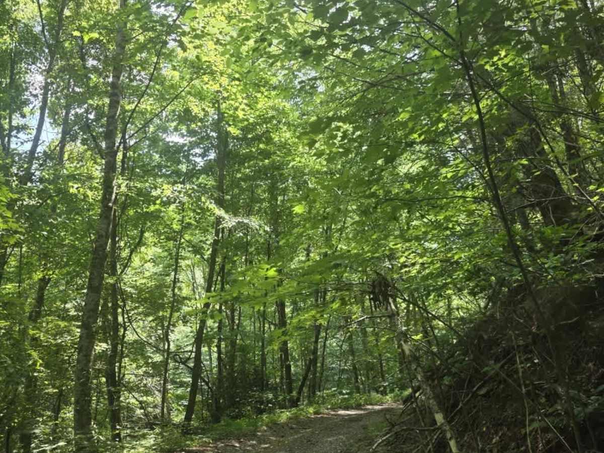
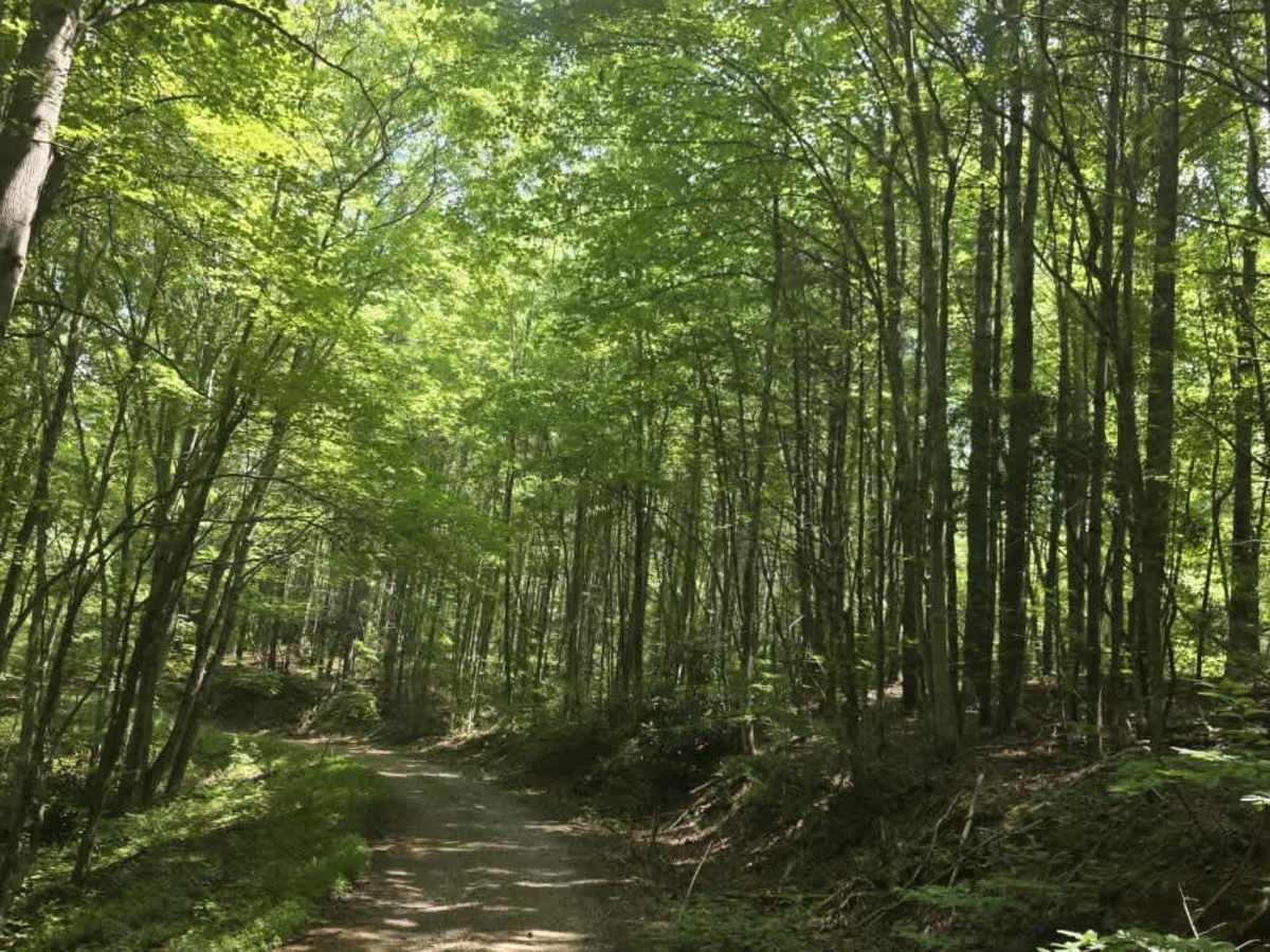
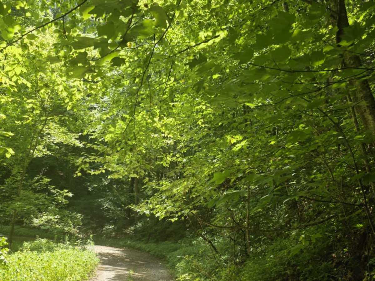
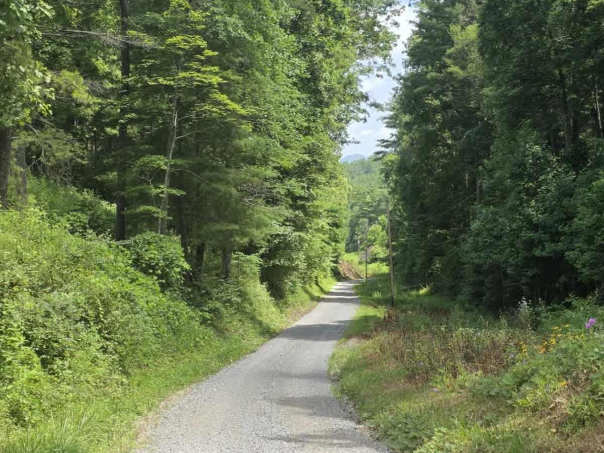
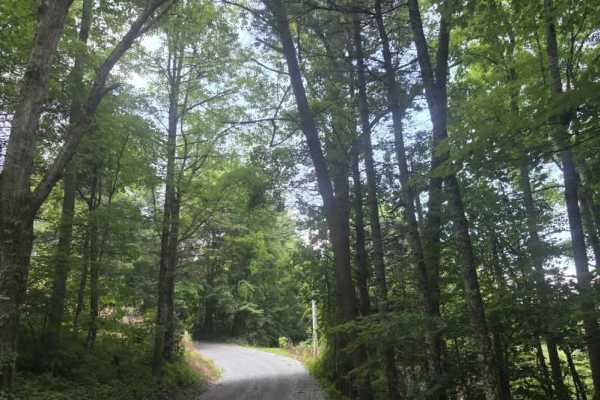
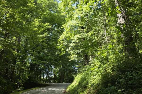
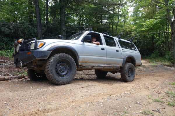
Piney Branch Trail begins as an easy-graded gravel road before transitioning into a narrower two-track dirt trail after entering Cherokee National Forest. From that point, the route becomes more primitive, with several mud holes along the way that can hold water after rain. The mud holes generally have solid bottoms, but drivers should still approach them carefully when conditions are wet. Overgrown vegetation and low-hanging branches are common in places, and fallen limbs or logs may occasionally obstruct the trail. The route narrows considerably compared with the opening section and requires more attention to vehicle placement as you continue. Near the mapped endpoint, several downed trees block the trail and prevent full-size trucks and SUVs from continuing farther. ATV and dirt bike riders may be able to proceed beyond this point, but larger vehicles should use the waypoint marked Large Vehicle Turnaround to reverse direction. Overall, Piney Branch offers a mild step up from a maintained forest road while remaining manageable for most properly equipped vehicles.
Difficulty
Piney Branch Trail is rated a 2 due to its transition from graded gravel to narrow two-track dirt, combined with mud holes, overgrown vegetation, and occasional fallen branches or logs. These features create minor but consistent obstacles that require more attention than a typical Level 1 road, especially after rainfall when the mud holes fill with water The trail does not feature large ledges, steep technical climbs, or deep water crossings. The mud holes generally have solid bottoms, and the terrain remains manageable under normal conditions. The downed trees at the trail end affect route access rather than sustained technical difficulty. Overall, the trail aligns with an unmaintained dirt road featuring minor obstacles under 12 inches, suitable for most 4WD and high-clearance 2WD vehicles.