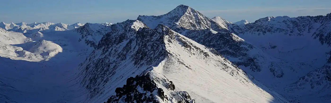
Dirt Bike Trails
Near Selma, Oregon
Explore All Dirt Bike Trails Near Selma, Oregon
Dirt Bike Trails Near Selma, Oregon
Discover the best dirt bike trails near you. Browse trail maps, check difficulty ratings, and find your next adventure — whether you're looking for a quick ride or an all-day expedition.
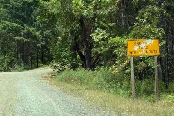
Onion Mountain, Shan Creek
Onion Mountain is a great place to break away from the crowds in town and take in some beautiful scenery. If you're lucky, you might even see a bear or two. Most of the trails are open year-round; however, heavy snow can be expected in the winter, and there are spots where you can get cell phone rec...
Learn more about Onion Mountain, Shan Creek
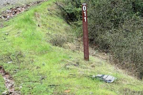
Taylor Ridge Road
This trail is best ridden during the summer. It's a great road even in the rain. Lots of trees are down on the road, depending on the time of year, as you will see in the pictures. This road is about 2 miles up Taylor Creek Road. There are a couple of good overnight camping spots on this road, as we...
Learn more about Taylor Ridge Road
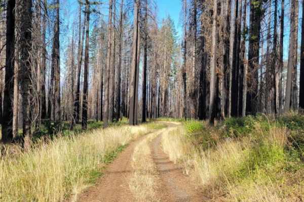
Page Mountain
Page Mountain is an easy, scenic 2.1-mile trail in the Rogue River-Siskiyou National Forest of southwest Oregon, perfect for beginners, stock four-wheel-drive vehicles, and high-clearance SUVs seeking a quick mountain escape. Winding through dense forest near the California border, this route climbs...
Learn more about Page Mountain
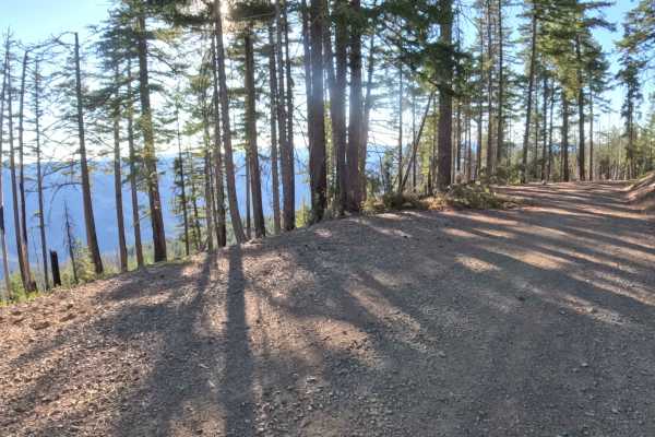
Old Happy Camp - FS 4810000
Forest Road 4810000, known as Old Happy Camp, is a highly accessible, wide gravel connector route that departs directly from Highway 48 near the Page Mountain Sno-Park in Oregon. Managed by the Rogue River-Siskiyou National Forest, the trail offers a scenic, smoothly contoured drive that alternates ...
Learn more about Old Happy Camp - FS 4810000

Right Fork Hellgate Recreation Site
This is a gravel road with some middle-of-the-road washouts that you will have to straddle with your vehicle. Great overlook of the valley below and the Rogue River about halfway up. The trail is a bit overgrown from the winter. So if you're concerned about scratches may want to pick a different pat...
Learn more about Right Fork Hellgate Recreation Site
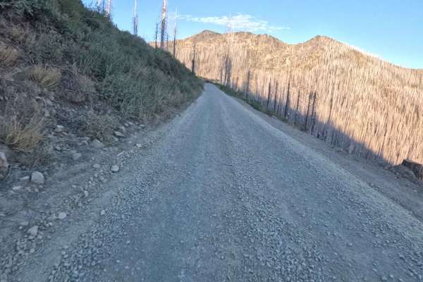
Bolan Lake - FS 4812000
Forest Road 4812000, known as Bolan Lake, operates as a primary backcountry connector routing directly off Highway 48 within the Rogue River-Siskiyou National Forest. Traveling predominantly through a wide-open landscape recently cleared by the 2020 Slater Fire, the corridor winds past striking hill...
Learn more about Bolan Lake - FS 4812000
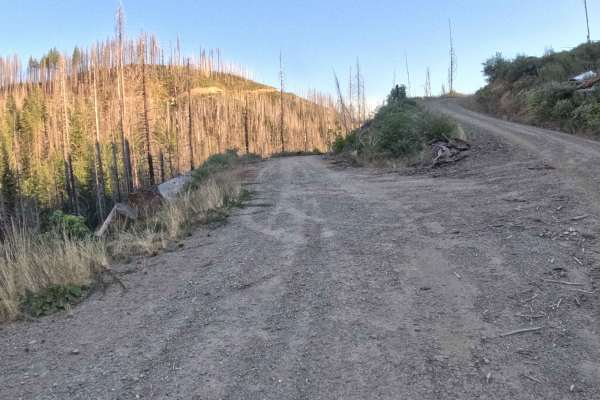
Louse Creek - FS 19N06
Branching off the primary forest road network, Forest Service Road 19N06—also known as Louse Creek—serves as a sweeping backcountry connector routing deep into the high country. Winding through the Rogue River-Siskiyou National Forest, the corridor traverses a stark landscape heavily impacted by the...
Learn more about Louse Creek - FS 19N06
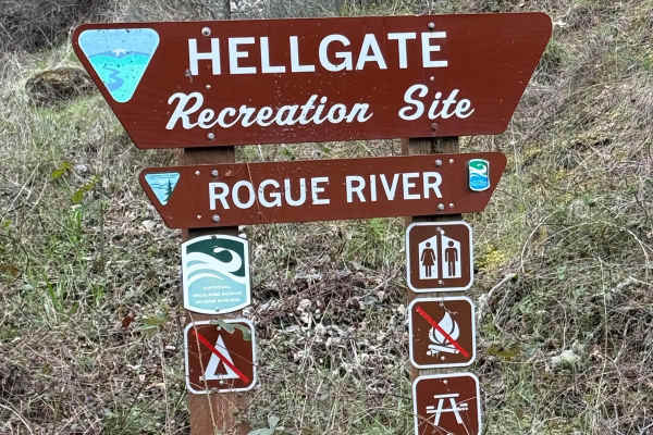
Hellgate Recreation Site
This is a nice trail that is definitely easier during the summer. The technical rating ranges from between a 1 to 3 in difficulty. There are some mud slides, but they are easy enough to get through, and the road ended at a good-sized washout. This trail goes through some beautiful country. The trail...
Learn more about Hellgate Recreation Site
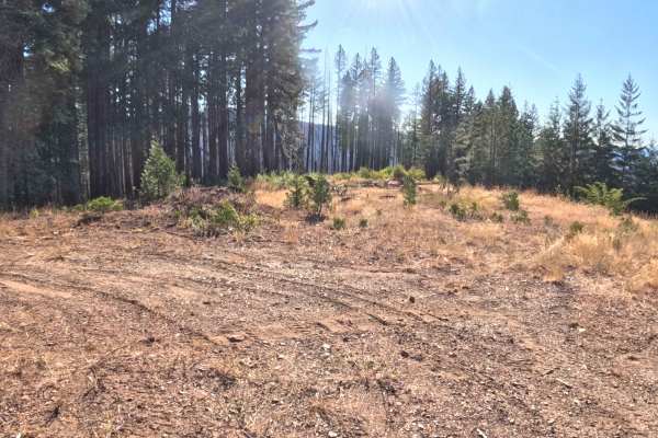
Porters Camp - FS 4810036
Branching quietly off the primary forest network without an identifying marker at its entrance, Forest Service Road 4810036—known locally as Porters Camp—serves as an inviting out-and-back backcountry spur winding deep into the Klamath National Forest. Managed by the Klamath National Forest, the rou...
Learn more about Porters Camp - FS 4810036
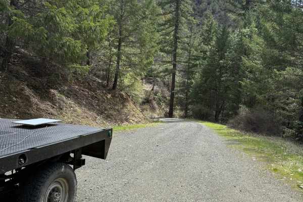
Lower Stratton Creek Road
This is a nice and easy drive. It is a gravel road with some low branches, but most full-size trucks will fit under them. There are no real washouts on this section, even with all the rain. The trail is pretty easy to drive most times of the year. The trail has a nice turnaround at the end.
Learn more about Lower Stratton Creek Road
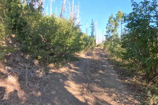
Porters Spur - FS 4810690
Branching directly off Forest Service Road 4810036 (Porters Camp), FS 4810690—known as Porters Spur—serves as an inviting out-and-back backcountry route winding deep into the Klamath National Forest. Managed by the Klamath National Forest, the trail begins its journey within an open, sunlit environm...
Learn more about Porters Spur - FS 4810690
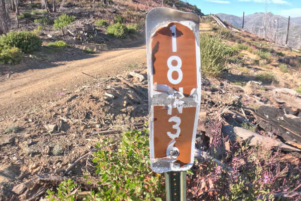
Illinois Valley - FS 18N36
Forest Road 18N36, commonly known as Illinois Valley, is a hard-packed gravel connector road climbing steadily into the high country of the Klamath National Forest. Traversing directly through a vast landscape severely impacted by the 2020 Slater Fire, the route passes beneath endless stands of blac...
Learn more about Illinois Valley - FS 18N36
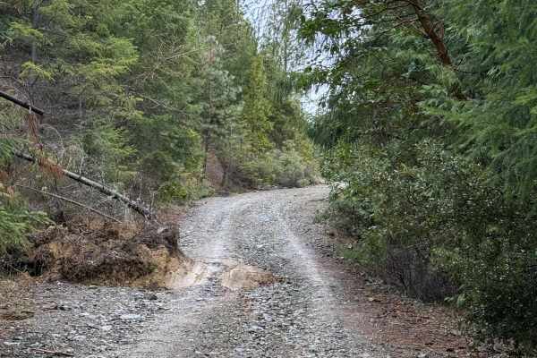
Walker Mountain Road
This trail follows a decent road that is somewhat rocky but not overly difficult. Located a short drive from Grants Pass, it offers great scenery and several pull-offs suitable for stopping to enjoy lunch and take in impressive mountain views. It remains passable in light rain and is well worth the ...
Learn more about Walker Mountain Road
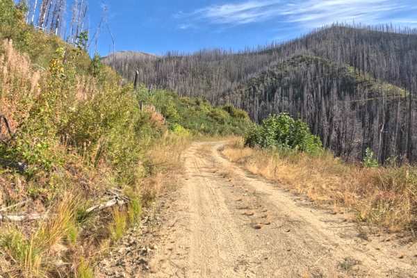
Bare Mountain - FS 18N15
Forest Service Road 18N15, commonly known as Bare Mountain Road, serves as an essential connector route winding through the rugged landscape to link travelers seamlessly with adjacent forest arteries like Forest Route 18N16 for deeper mountain exploration. Surrounded by the recovering slopes of the ...
Learn more about Bare Mountain - FS 18N15
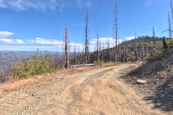
Nipper - FS 18N45
Branching directly off of route 18N33 near the Poker Flat Trail, Nipper (FS 18N45) functions as a relatively flat, out-and-back forest spur that ventures into the rugged backcountry. The pathway cuts through a stark, recovering woodland environment heavily scarred by recent wildfires, where a haunti...
Learn more about Nipper - FS 18N45
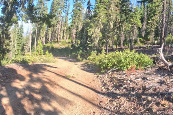
Poker - FS 18N56
FS 18N56, known locally as Poker, is a scenic, out-and-back hillside spur plunging into the Klamath National Forest. The route begins under a thick, shaded canopy of mature pines before traversing an exposed ridgeline severely impacted by recent wildfires, offering expansive, unobstructed views of t...
Learn more about Poker - FS 18N56
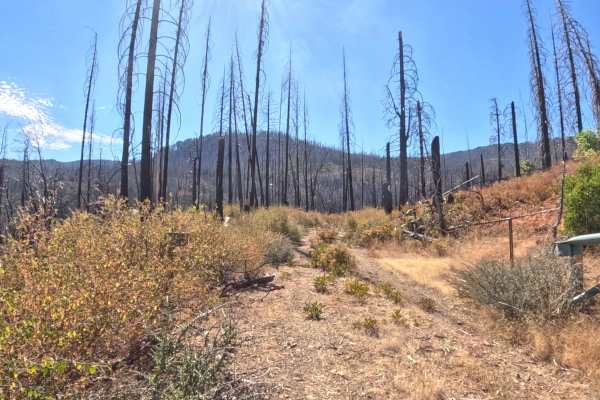
Poker Flat Spur - FS 18N33B
Branching off the primary 18N33 route, the Poker Flat Spur (FS 18N33B) functions as a rugged, highly degraded out-and-back trail. Set entirely within a stark, sobering landscape that is actively recovering from severe wildfire damage, the surrounding environment features a towering canopy of charred...
Learn more about Poker Flat Spur - FS 18N33B
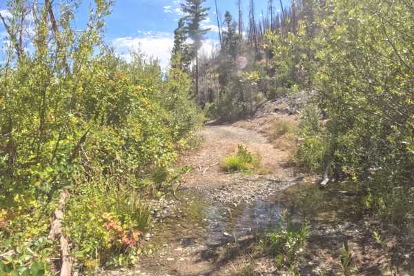
West Branch - FS 18N31D
Branching off the main forest artery, FS 18N31D—known locally as West Branch—functions as a rugged out-and-back access spur leading directly into West Branch Campground. The route winds through the steep terrain of the Klamath National Forest, an environment deeply scarred and actively recovering fr...
Learn more about West Branch - FS 18N31D
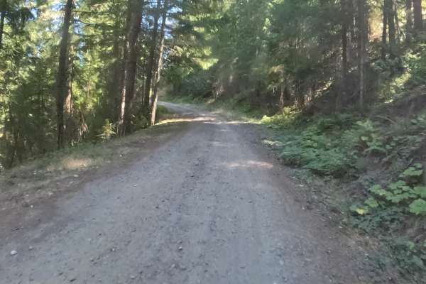
Elliot Creek Road - FS 1040000
Elliot Creek Road - FS 1040000 opens high in the Rogue River-Siskiyou National Forest and spends most of its length dropping steadily toward the Applegate River, with only a little climbing along the way. The first couple of miles are the roughest, with a loose, rocky surface running beneath rocky c...
Learn more about Elliot Creek Road - FS 1040000
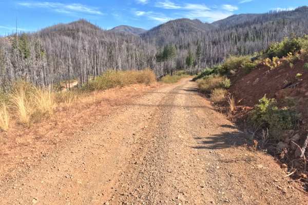
King Bill - FS 18N52
Forest Road 18N52, commonly referred to as King Bill, operates as a brief, out-and-back exploratory spur located within the Rogue River-Siskiyou National Forest. The route initiates without a formal trail marker, leading drivers off the main connector and straight into a stark landscape heavily impa...
Learn more about King Bill - FS 18N52
ATV trails near Selma, Oregon
Explore ATV-friendly trails near you. These trails are accessible for vehicles up to 50 inches wide, perfect for ATVs and smaller off-road machines.
Onion Mountain, Shan Creek
Onion Mountain is a great place to break away from the crowds in town and take in some beautiful scenery. If you're lucky, you might even see a bear or two. Most of the trails are open year-round; however, heavy snow can be expected in the winter, and there are spots where you can get cell phone rec...
Learn more about Onion Mountain, Shan Creek
Taylor Ridge Road
This trail is best ridden during the summer. It's a great road even in the rain. Lots of trees are down on the road, depending on the time of year, as you will see in the pictures. This road is about 2 miles up Taylor Creek Road. There are a couple of good overnight camping spots on this road, as we...
Learn more about Taylor Ridge Road
Page Mountain
Page Mountain is an easy, scenic 2.1-mile trail in the Rogue River-Siskiyou National Forest of southwest Oregon, perfect for beginners, stock four-wheel-drive vehicles, and high-clearance SUVs seeking a quick mountain escape. Winding through dense forest near the California border, this route climbs...
Learn more about Page Mountain
Old Happy Camp - FS 4810000
Forest Road 4810000, known as Old Happy Camp, is a highly accessible, wide gravel connector route that departs directly from Highway 48 near the Page Mountain Sno-Park in Oregon. Managed by the Rogue River-Siskiyou National Forest, the trail offers a scenic, smoothly contoured drive that alternates ...
Learn more about Old Happy Camp - FS 4810000
UTV/side-by-side trails near Selma, Oregon
Find UTV and side-by-side trails near you. These trails accommodate vehicles up to 60 inches wide, ideal for UTVs, side-by-sides, and wider off-road rigs.
Onion Mountain, Shan Creek
Onion Mountain is a great place to break away from the crowds in town and take in some beautiful scenery. If you're lucky, you might even see a bear or two. Most of the trails are open year-round; however, heavy snow can be expected in the winter, and there are spots where you can get cell phone rec...
Learn more about Onion Mountain, Shan Creek
Taylor Ridge Road
This trail is best ridden during the summer. It's a great road even in the rain. Lots of trees are down on the road, depending on the time of year, as you will see in the pictures. This road is about 2 miles up Taylor Creek Road. There are a couple of good overnight camping spots on this road, as we...
Learn more about Taylor Ridge Road
Page Mountain
Page Mountain is an easy, scenic 2.1-mile trail in the Rogue River-Siskiyou National Forest of southwest Oregon, perfect for beginners, stock four-wheel-drive vehicles, and high-clearance SUVs seeking a quick mountain escape. Winding through dense forest near the California border, this route climbs...
Learn more about Page Mountain
Old Happy Camp - FS 4810000
Forest Road 4810000, known as Old Happy Camp, is a highly accessible, wide gravel connector route that departs directly from Highway 48 near the Page Mountain Sno-Park in Oregon. Managed by the Rogue River-Siskiyou National Forest, the trail offers a scenic, smoothly contoured drive that alternates ...
Learn more about Old Happy Camp - FS 4810000
The onX Offroad Difference
onX Offroad combines trail photos, descriptions, difficulty ratings, width restrictions, seasonality, and more in a user-friendly interface. Available on all devices, with offline access and full compatibility with CarPlay and Android Auto. Discover what you're missing today!
Open Trail Map