Trail Overview
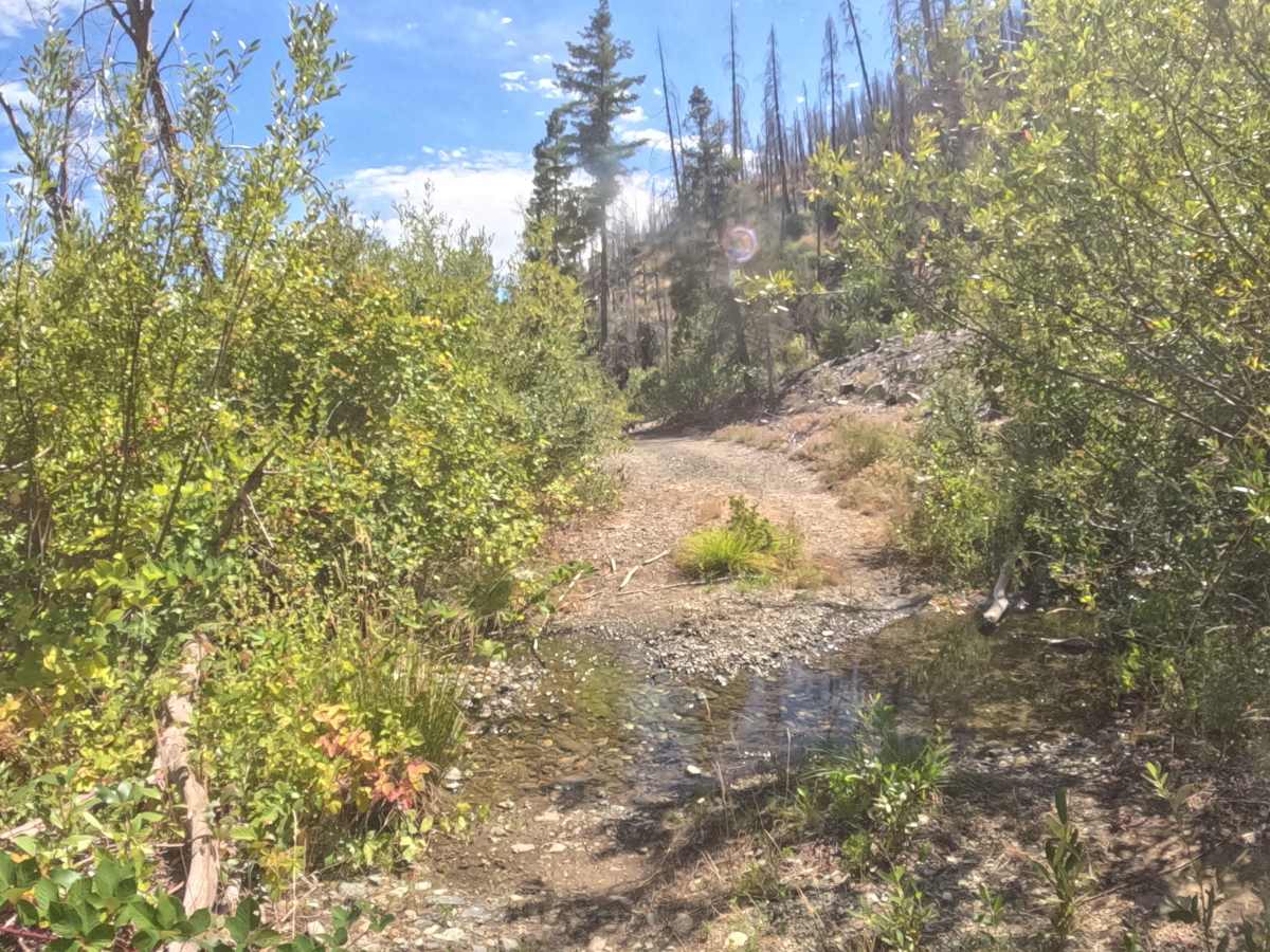
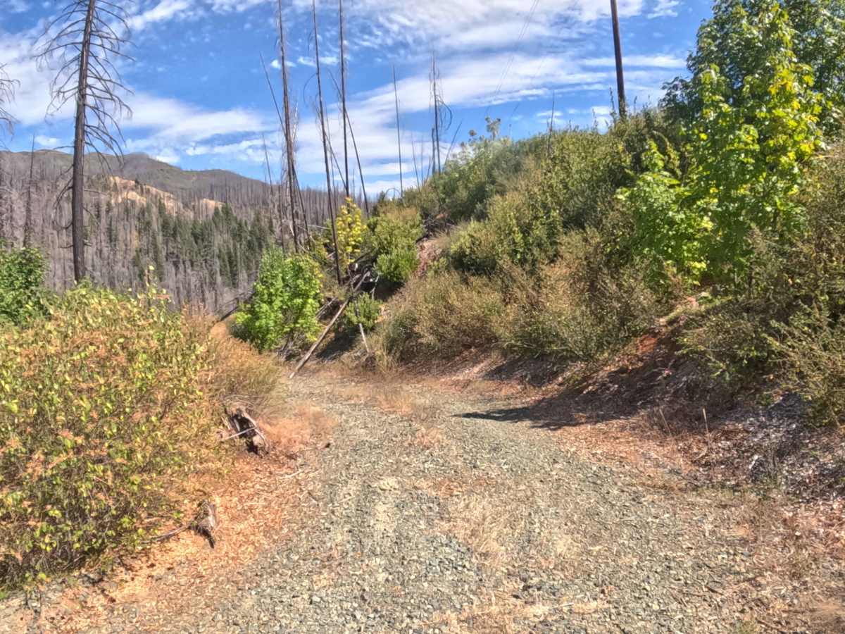
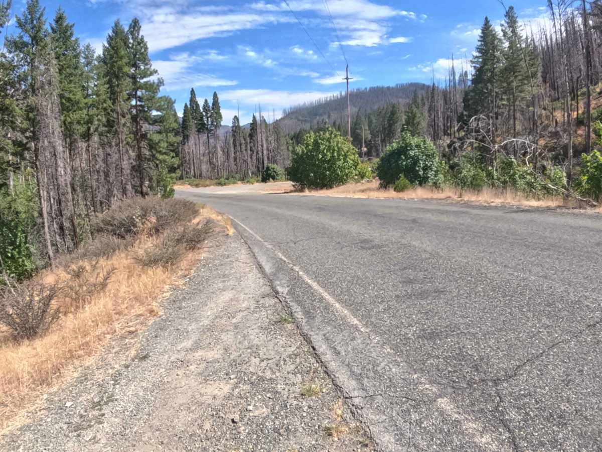
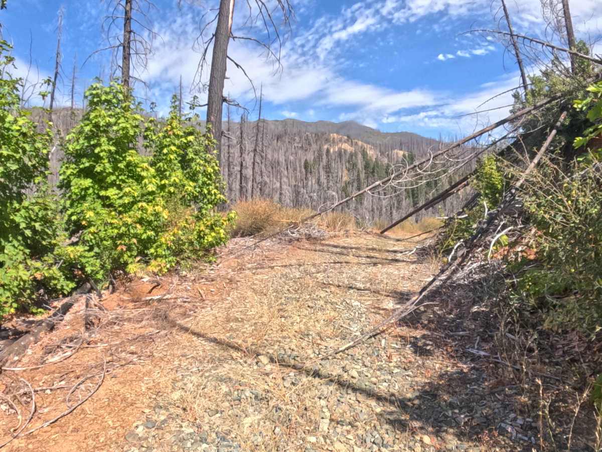
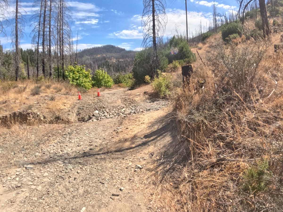
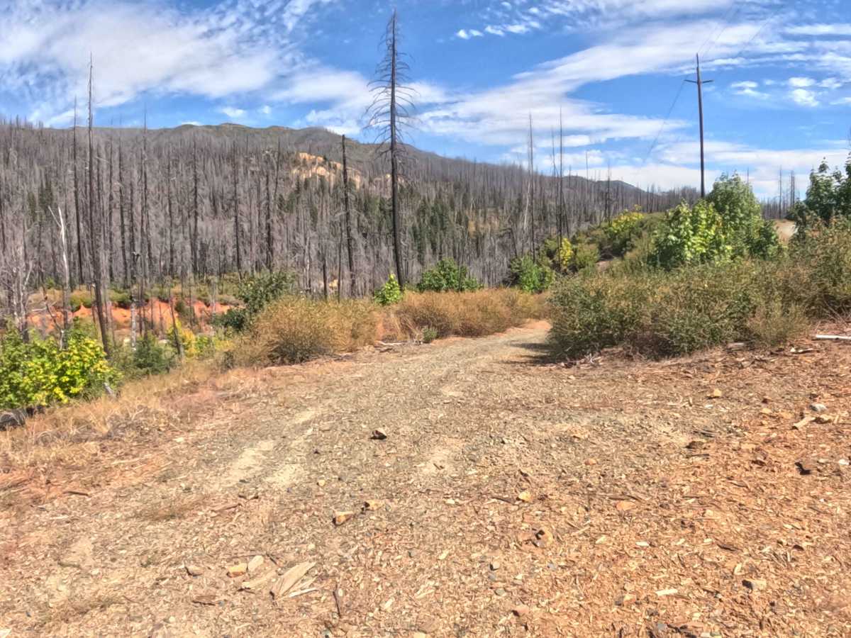
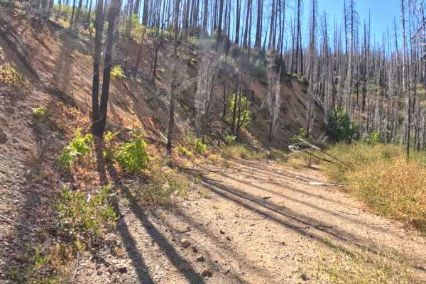
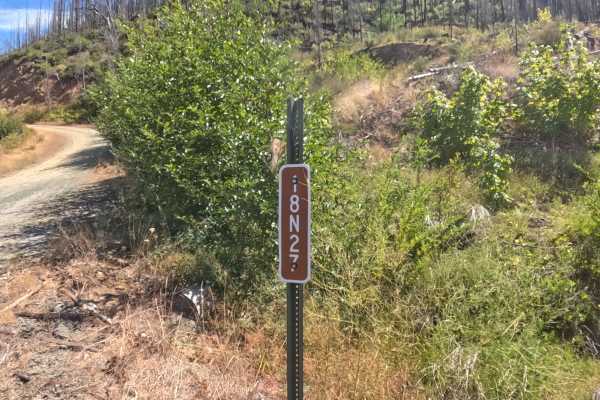
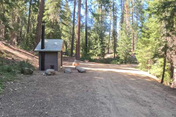
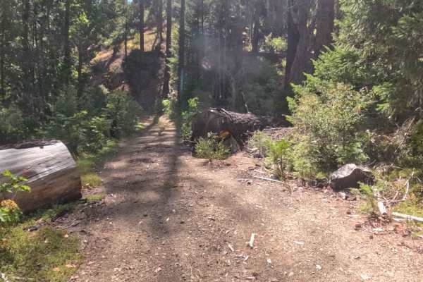
Branching off the main forest artery, FS 18N31D—known locally as West Branch—functions as a rugged out-and-back access spur leading directly into West Branch Campground. The route winds through the steep terrain of the Klamath National Forest, an environment deeply scarred and actively recovering from the devastating Slater Fire of 2020, where towering burned snags stand above thick brush and regrowing vegetation. Consisting of a hard-packed dirt and gravel surface studded with small embedded boulders, this level 2 route presents a notably rougher journey than its sister campground access road. Visitors rely on this path primarily to reach the shaded riverside campsites and outdoor recreational areas nestled along Indian Creek. Navigating this corridor requires steady momentum to handle the uneven terrain, shifting stone, and post-wildfire surroundings.
Difficulty
Rated 2, this narrow gravel route demands careful attention due to a series of physical challenges along the track. Drivers will encounter multiple prominent water bars ranging from six inches to a full foot in height, a shallow seasonal creek crossing, and narrow washouts cutting into the roadbed. Negotiating these obstacles successfully requires maintaining a slow crawl and picking clean lines to prevent the undercarriage from striking exposed boulders or high ridges. While the path is manageable under dry summer conditions, wet weather transforms the water crossings and rutted sections into much trickier hazards, making precise tire placement essential.