Trail Overview
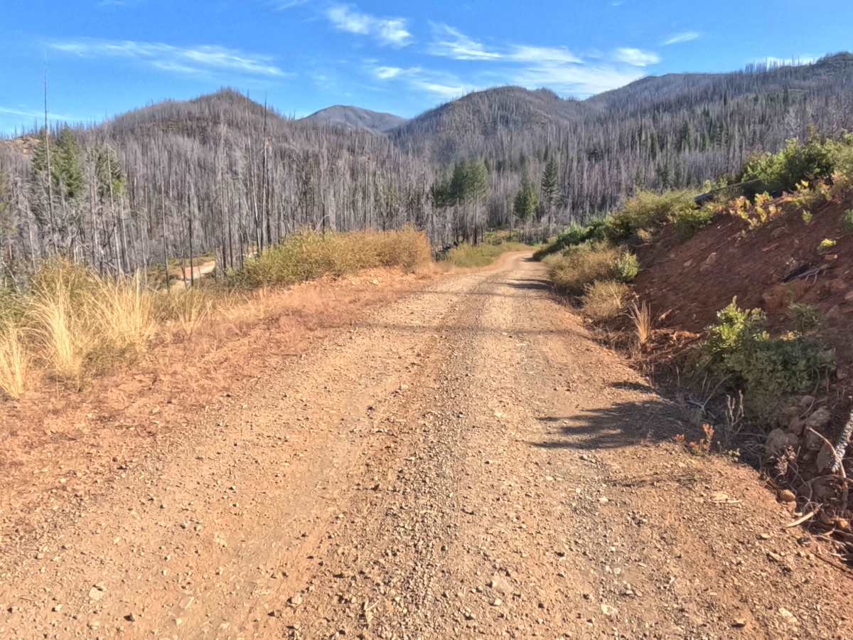
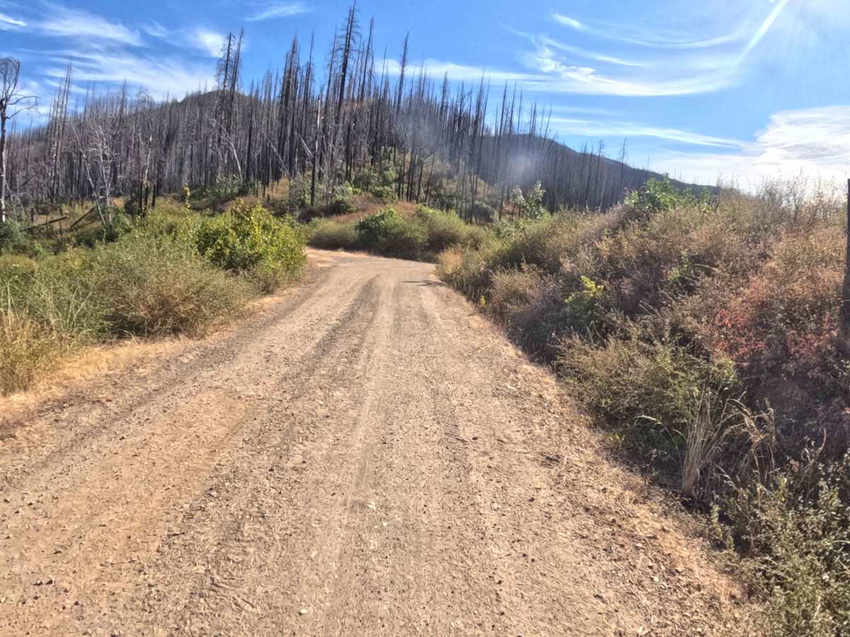
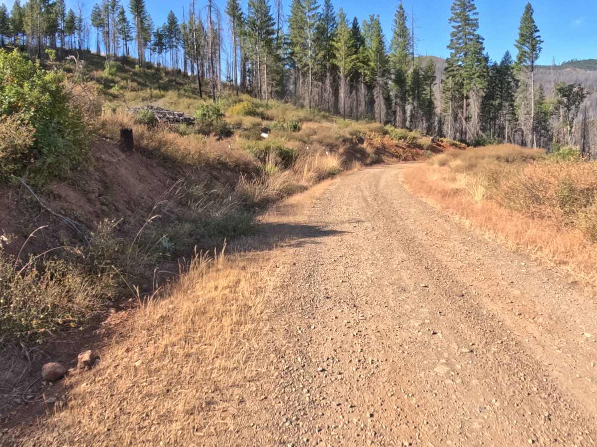
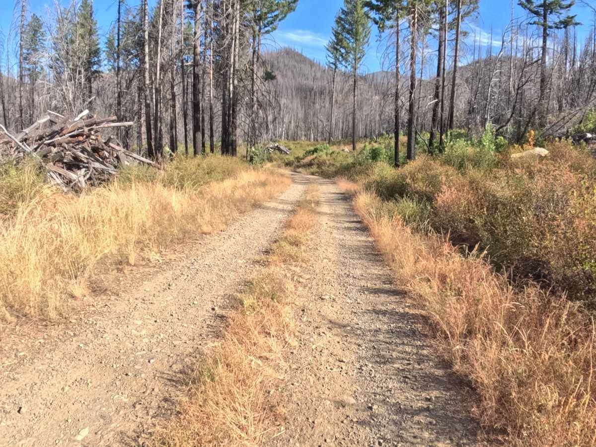
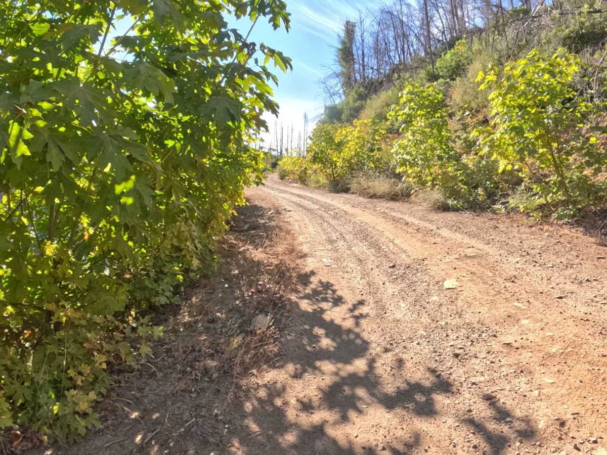
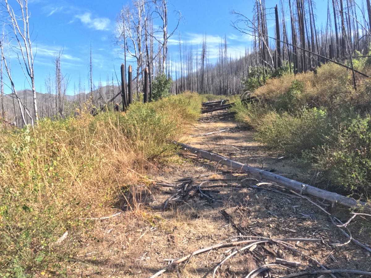
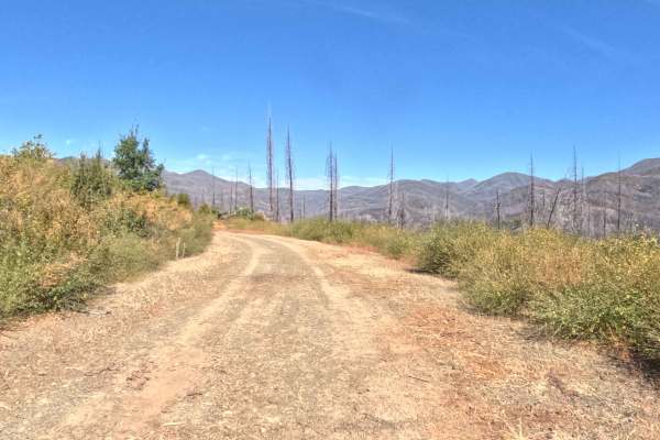
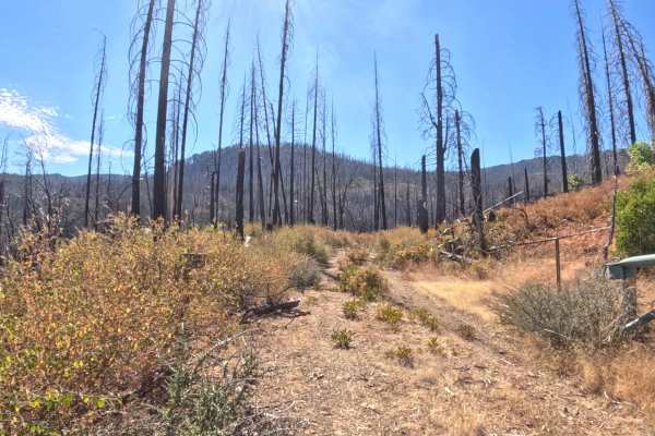
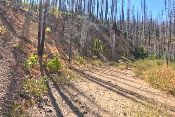
Forest Road 18N52, commonly referred to as King Bill, operates as a brief, out-and-back exploratory spur located within the Rogue River-Siskiyou National Forest. The route initiates without a formal trail marker, leading drivers off the main connector and straight into a stark landscape heavily impacted by recent wildfires, where standing burnt timber lines the steep ridges. Assigned a difficulty rating of 2, the single-lane path features a relatively firm, hard-packed dirt and gravel surface interspersed with scattered small rocks. Outdoor recreationists initially use this trail to seek out elevated, panoramic views of the surrounding burn scar and distant valleys. However, the publicly accessible portion of the route is extremely short-lived. At roughly the 0.9-mile mark, the trail encounters a Y-junction. The left fork immediately deteriorates into an impassable, unmaintained dead-end choked with heavy brush and severe deadfall blocking the roadbed. The right fork transitions into a private property access road and is restricted from further public travel, forcing all backcountry explorers to turn around at this intersection.
Difficulty
Rated 2, this short forest spur provides a generally straightforward drive that rapidly deteriorates into impassable terrain. The initial climb features a manageable, hard-packed gravel surface; however, drivers will need to remain alert for minor embedded rocks and scattered debris along the shoulders. The true difficulty of this route lies at its abrupt termination. Upon reaching the 0.9-mile junction, the left path becomes entirely impassable due to significant downed trees and thick overgrowth completely barricading the way. Because the right fork is closed for private access, drivers must execute a tight turnaround maneuver in the limited space available at the junction to safely exit the trail.