Trail Overview
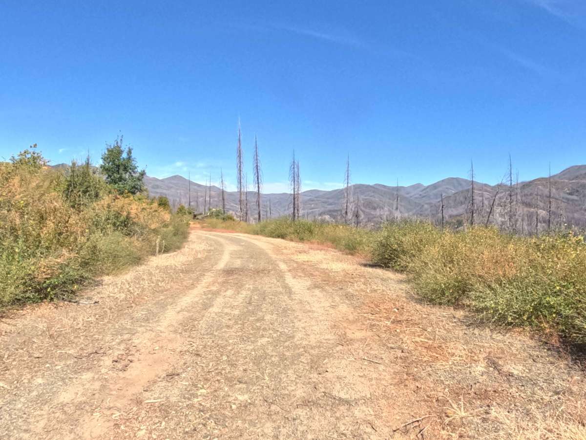
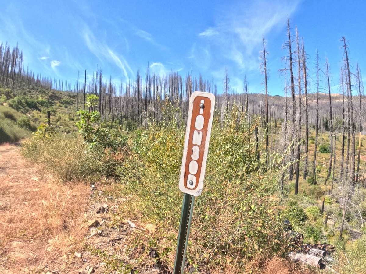
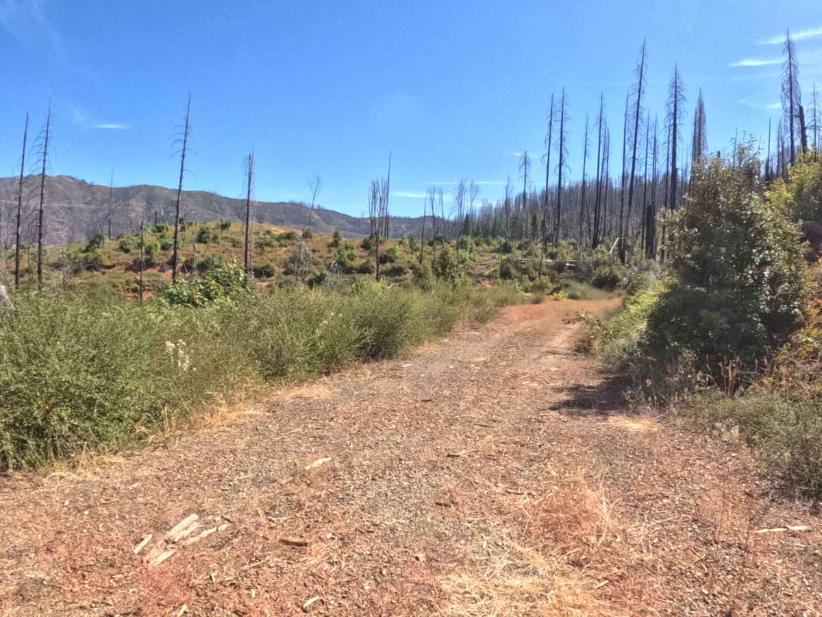
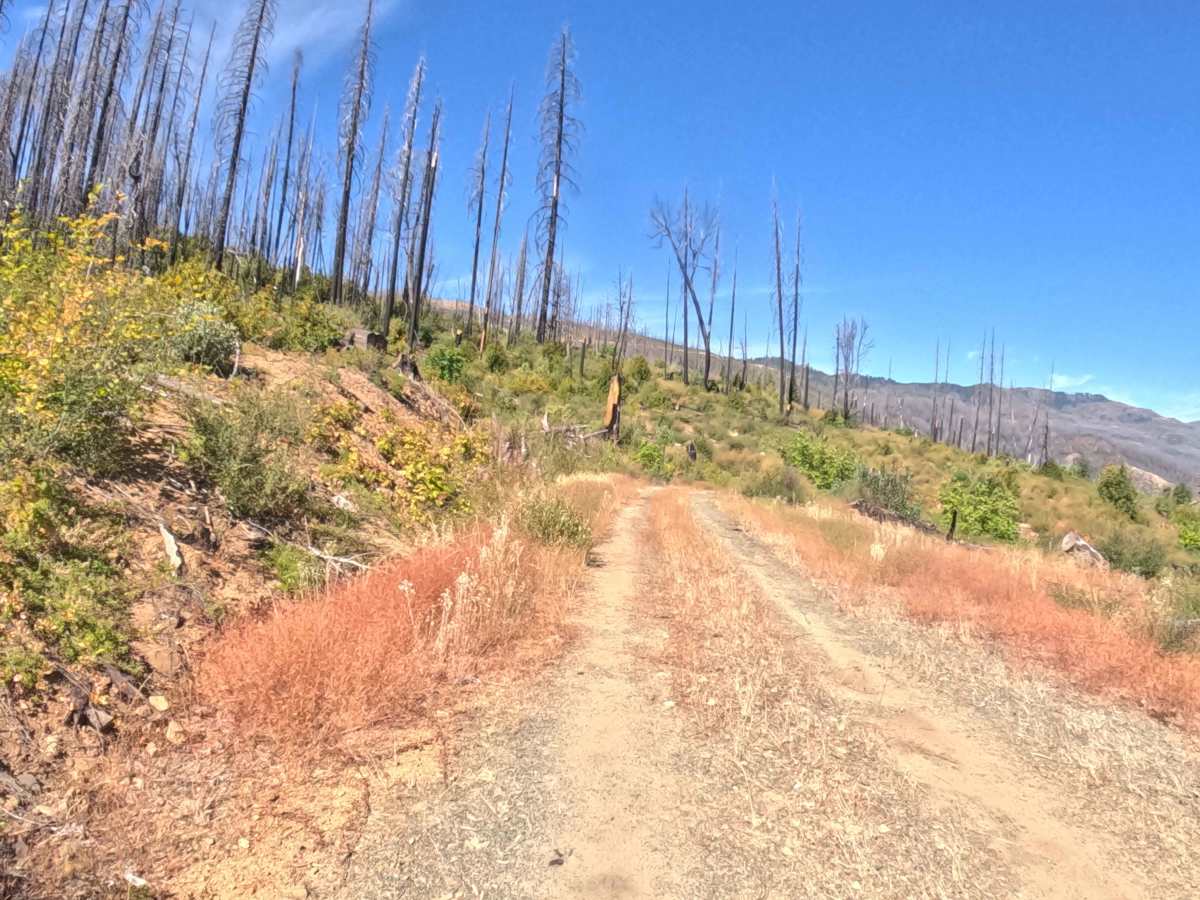
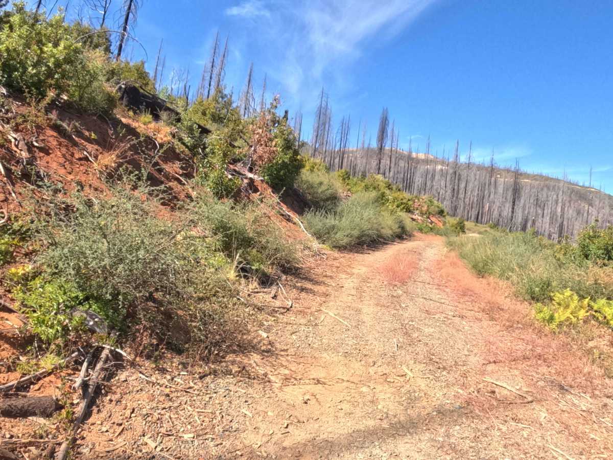
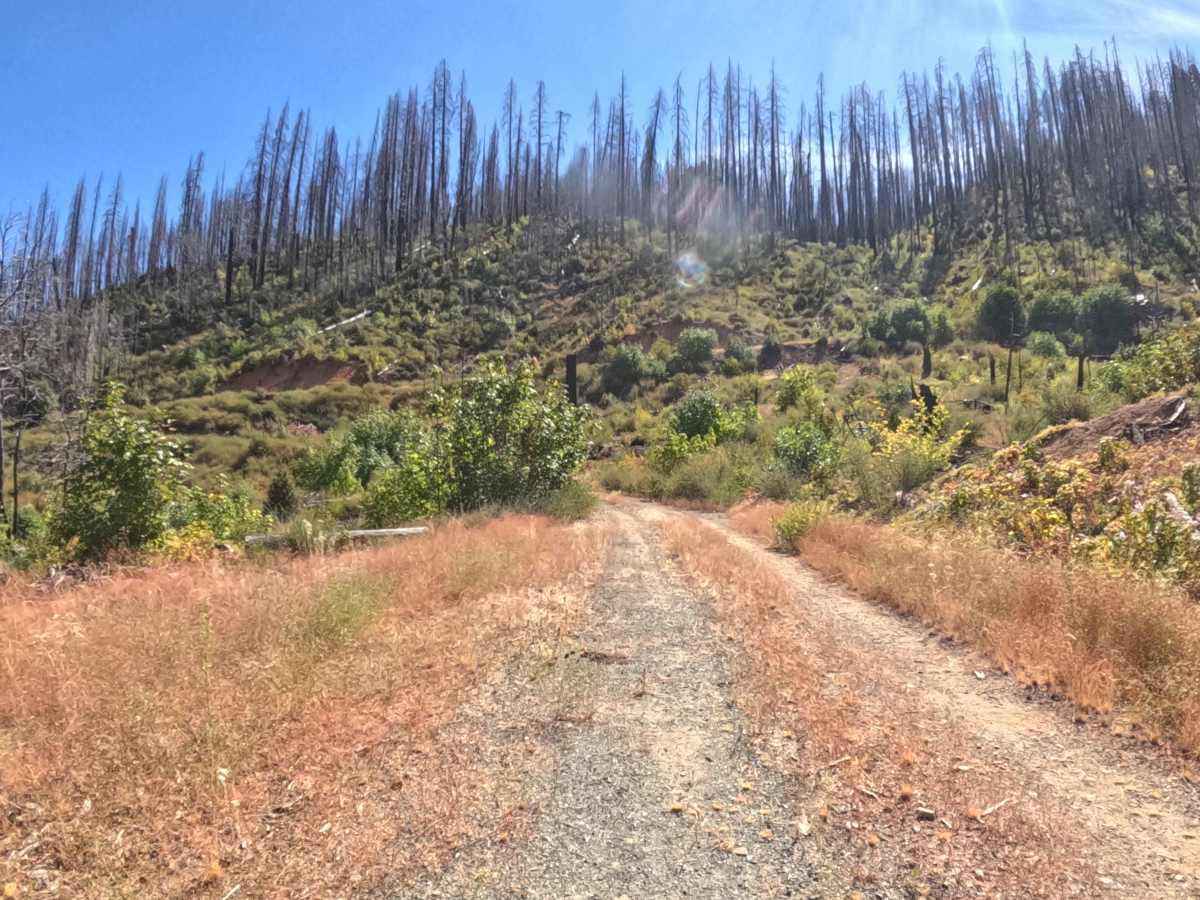
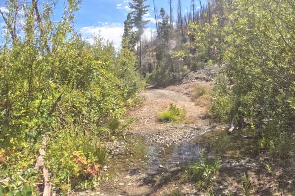
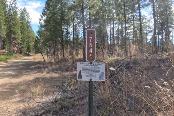
Branching off from Forest Service Road 18N30, Forest Service Road 18N30B functions as a quiet out-and-back spur that guides travelers into a peaceful backcountry pocket. Managed by the Klamath National Forest, the route winds through a dynamic environment scarred by the 2020 Slater Fire and subsequent timber harvesting operations, showcasing an evolving landscape of stark standing snags, open clearings, and resilient green undergrowth. The passage features a smooth, hard-packed gravel and dirt surface that remains exceptionally easy to follow despite light vegetative encroachment along the shoulders. Visitors frequently navigate this spur to explore remote forest management zones, enjoy sweeping valley vistas, and utilize the spacious turnaround area at the terminus where dense brush halts further progress.
Difficulty
Rated a very approachable 1 on the technical scale, this gentle out-and-back spur presents minimal challenge for drivers. The route features a smooth, tightly packed gravel path with a gradual descent, avoiding significant rocks, ruts, or technical obstacles. Navigators simply need to watch for minor brush encroachment along the edges and use the clear turnaround space at the end.